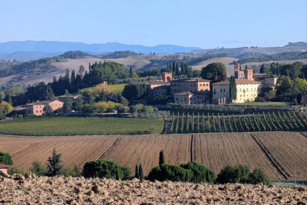
9.2 Miles; 4.5 Hours on the trail (Cumulative 122.8 Miles; 59.9 Hours on the trail)
Lucignano d’Arbia
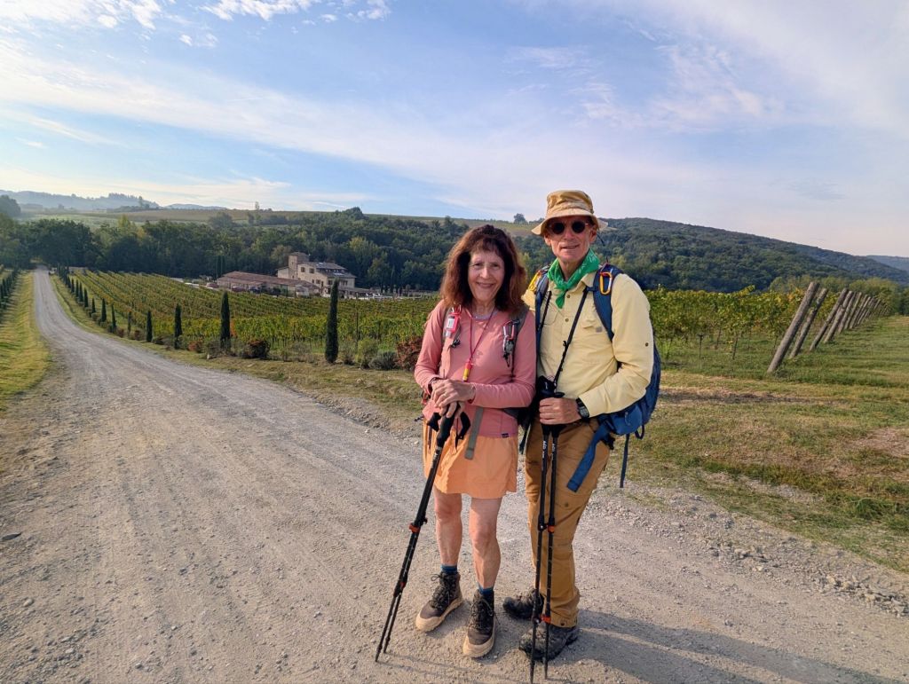
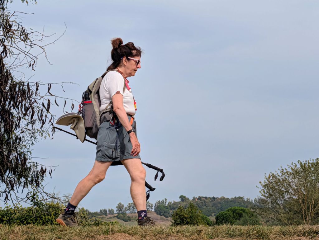
Today’s hike started with a little nip in the air because the temperature was 46 degrees.
Almost as soon as we departed, we walked up a big hill, so we warmed up very quickly.
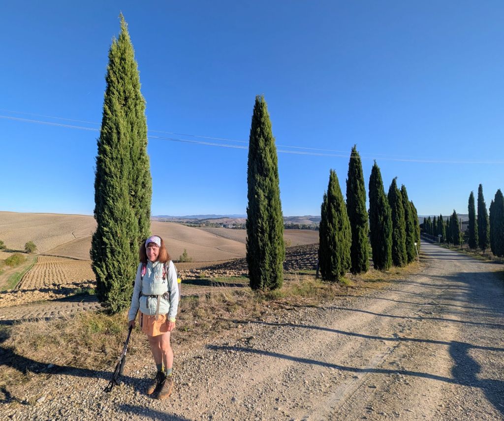
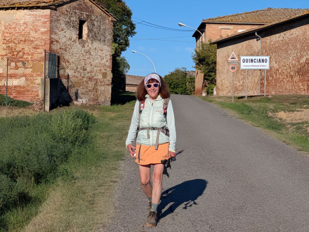
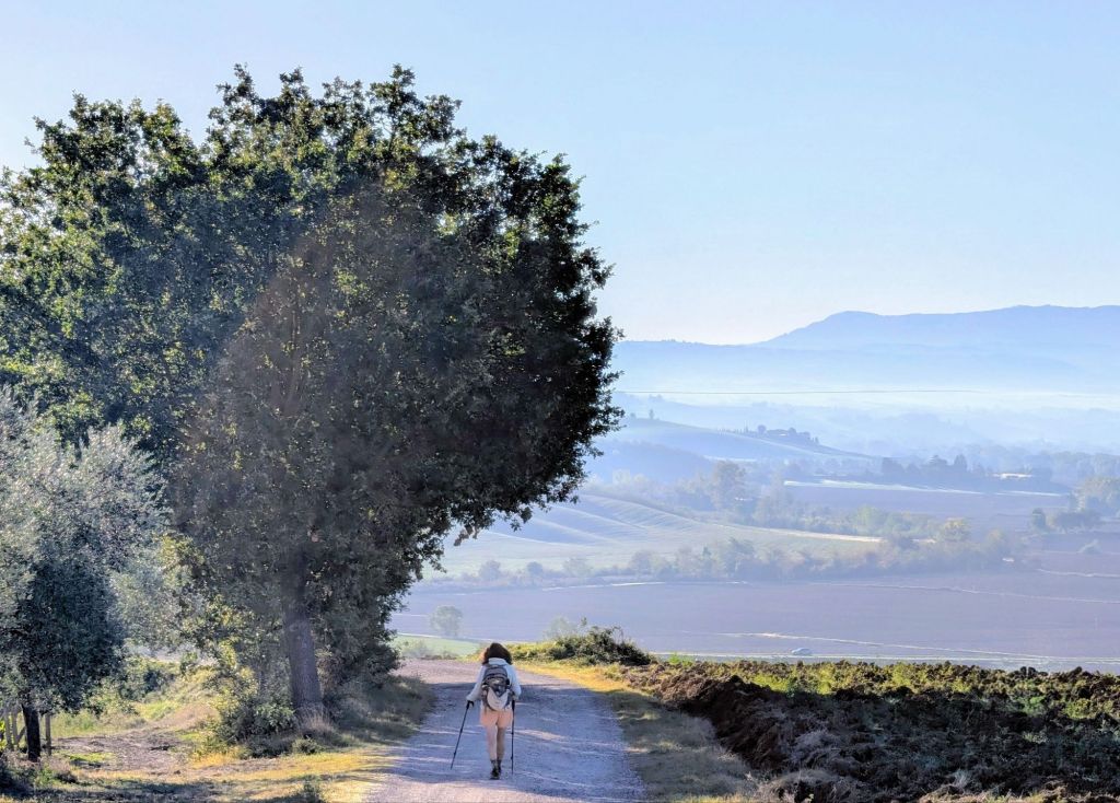
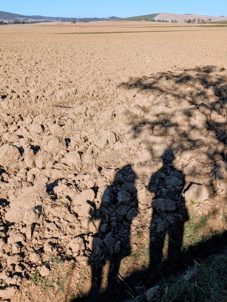
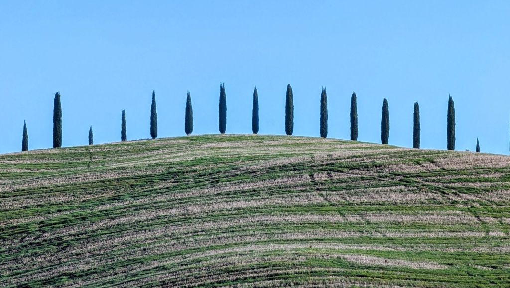
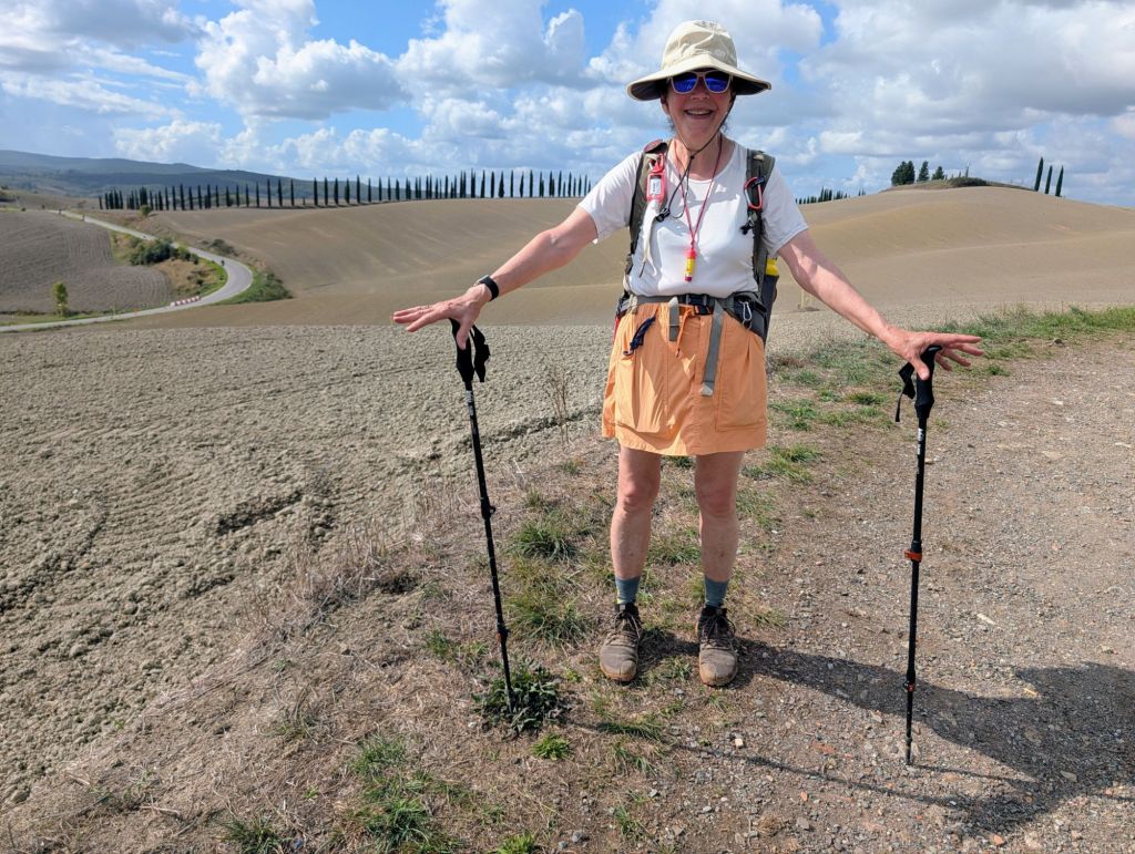
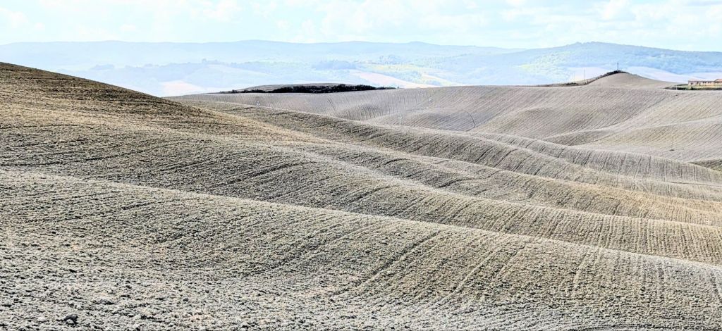
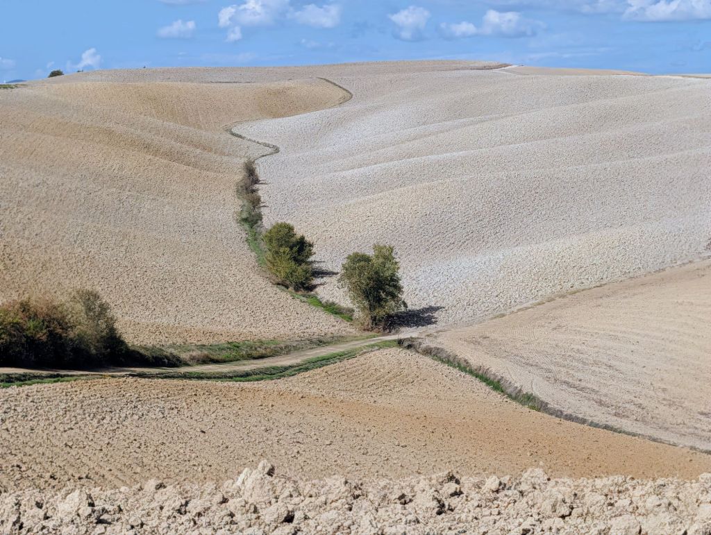
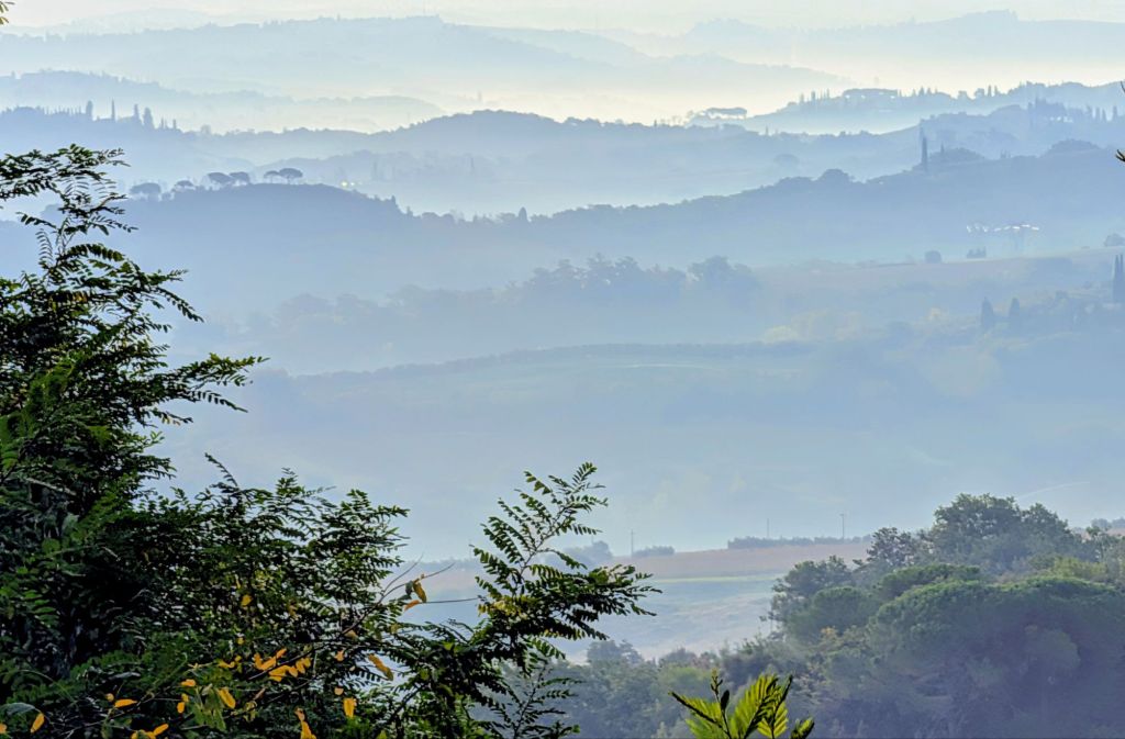
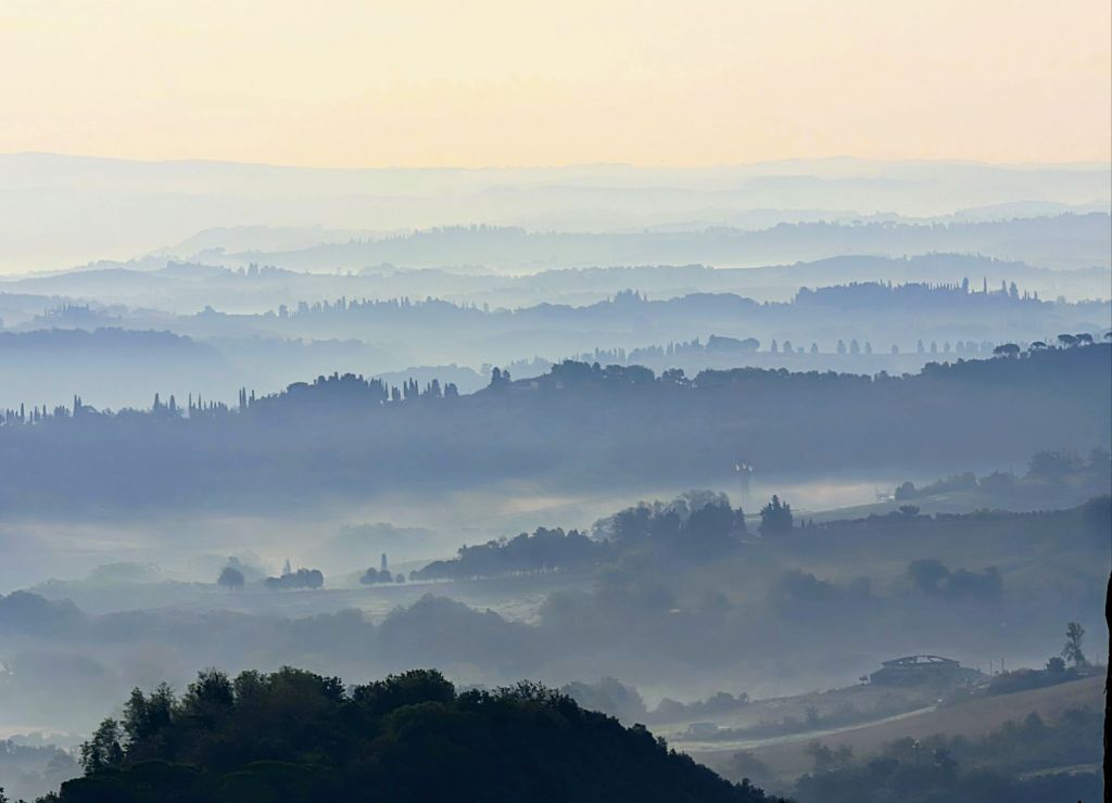
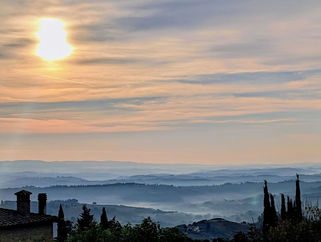
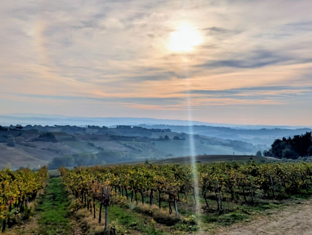
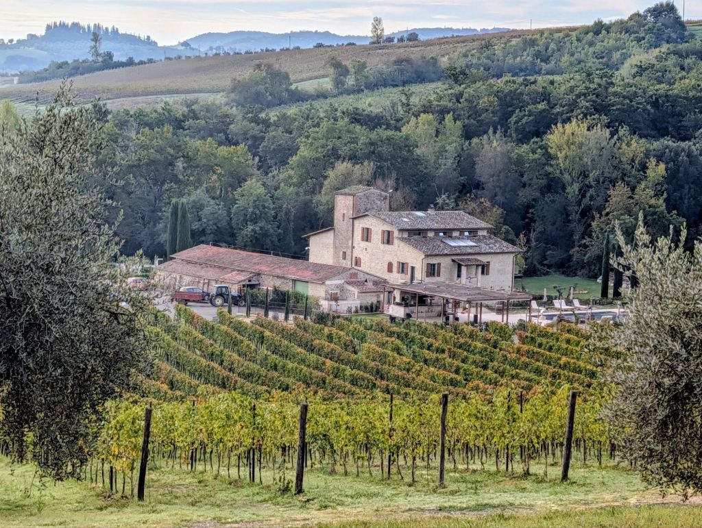
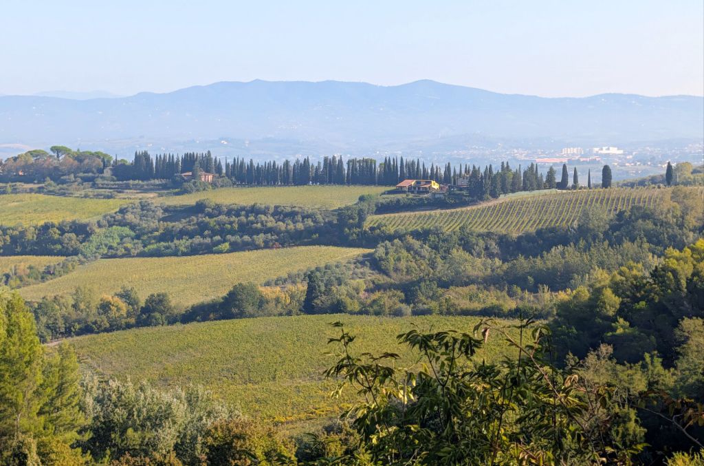
Cypress Trees lining the trailLeaving QuincianoMorning fog in the distanceShadows on the field
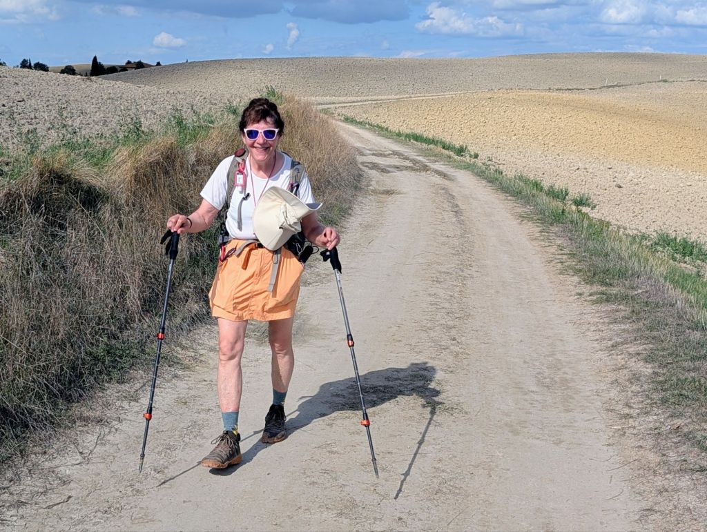
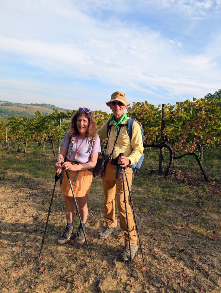
We had a relatively short walk today at 9.2 miles. It was mostly flat with a big hill at the start & a couple steep hills towards the end.
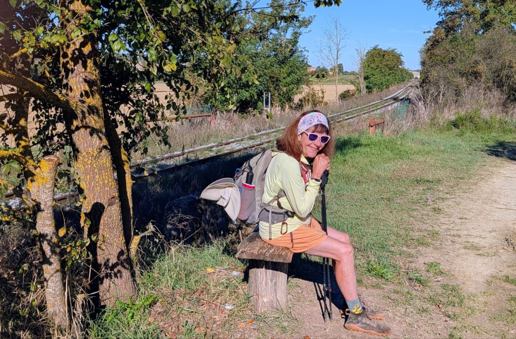
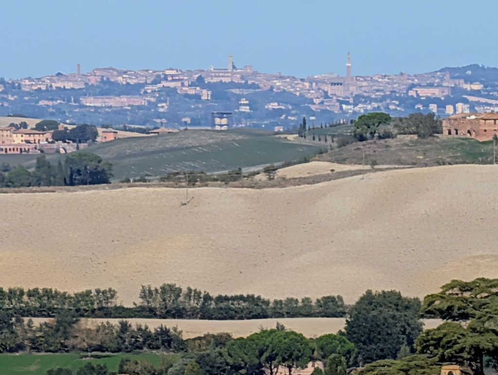
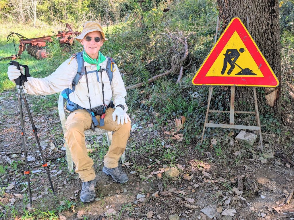
Cypress Trees on the horizonShort breakSiena in the distanceMan not at work
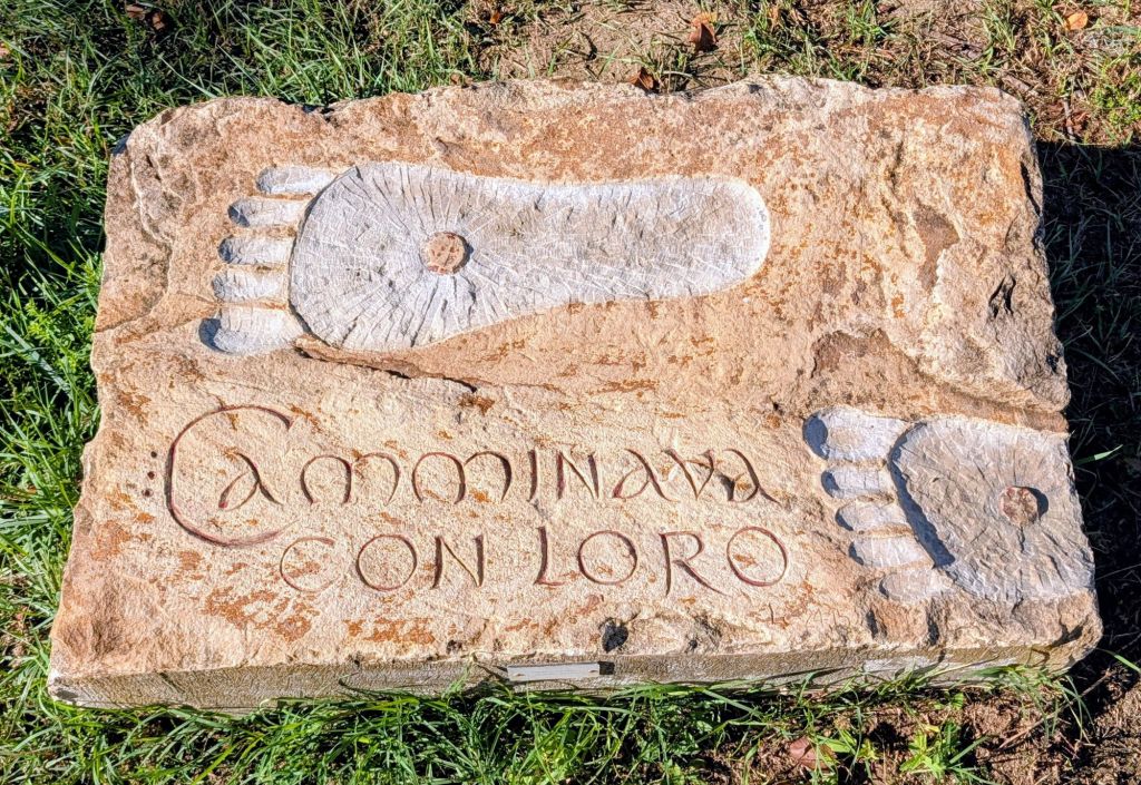
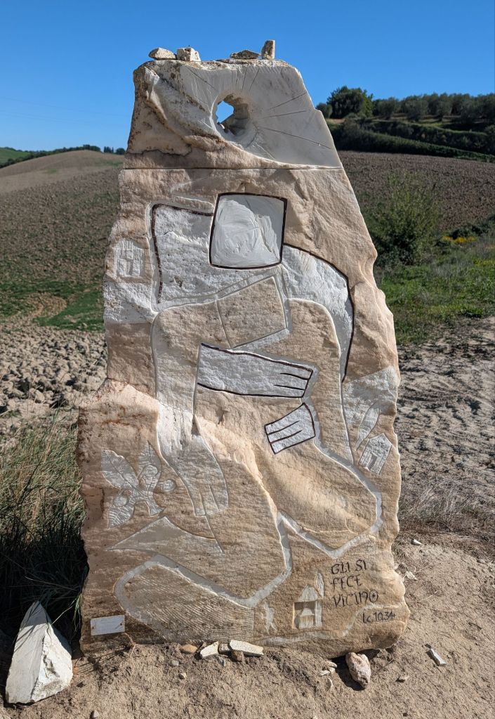
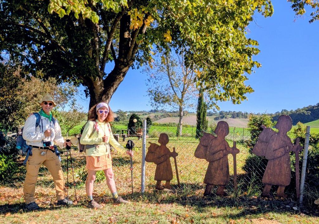
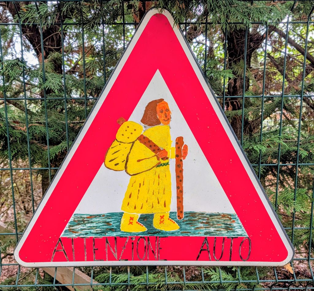
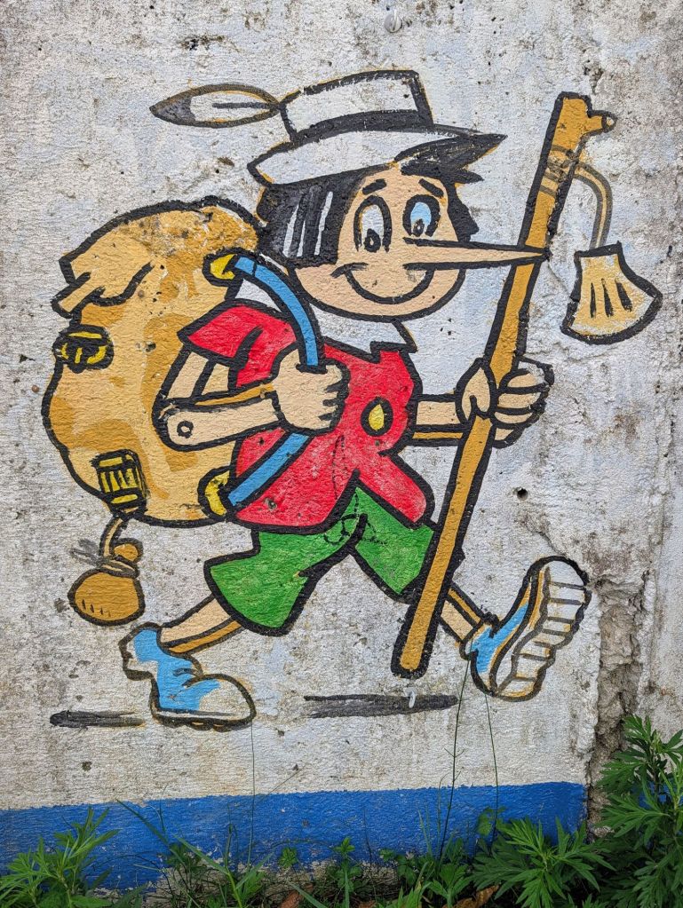
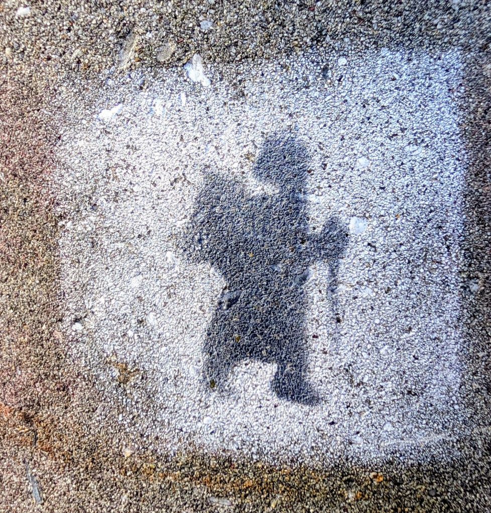
Saw some neat art pieces on the trail.
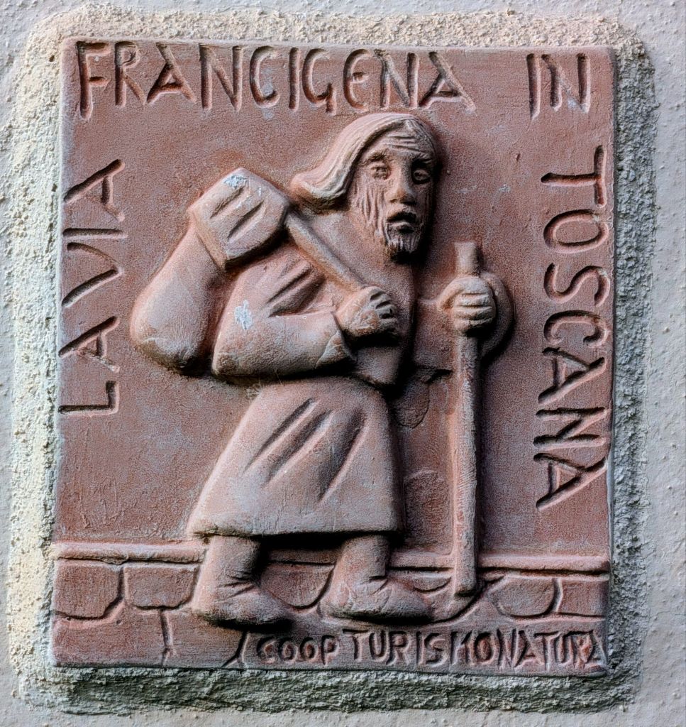
Pilgrims
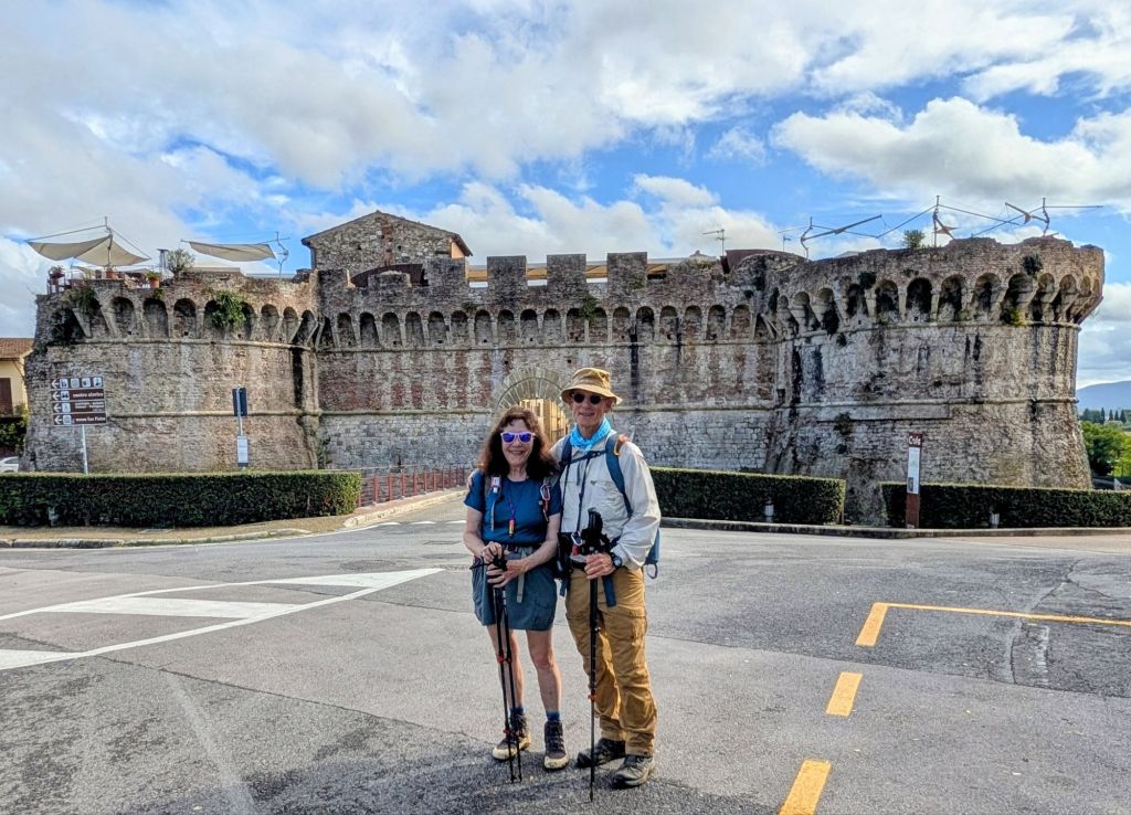
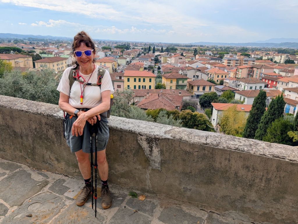
Today’s destination was Buonconvento.
Its name comes from the Latin “Bonus Conventus” which means “Happy Place” reflecting the serene atmosphere here.
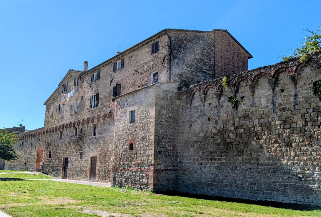
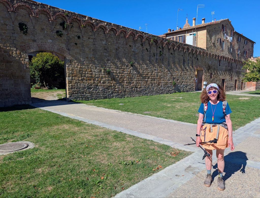
Listed among Italy’s most beautiful villages, Buonconvento is enclosed by walls built in 1379 that are still largely intact.
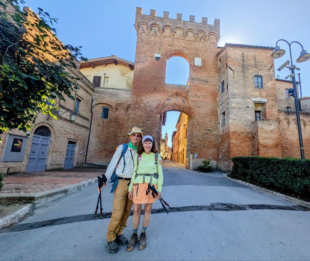
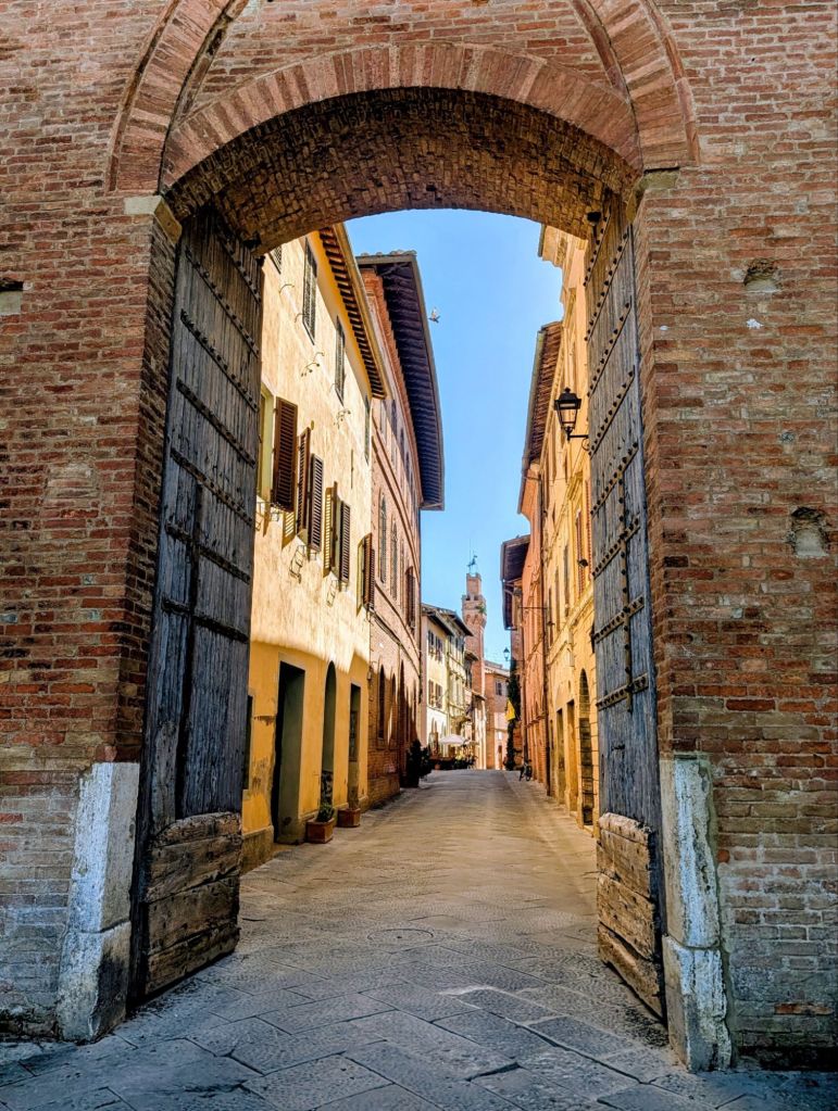
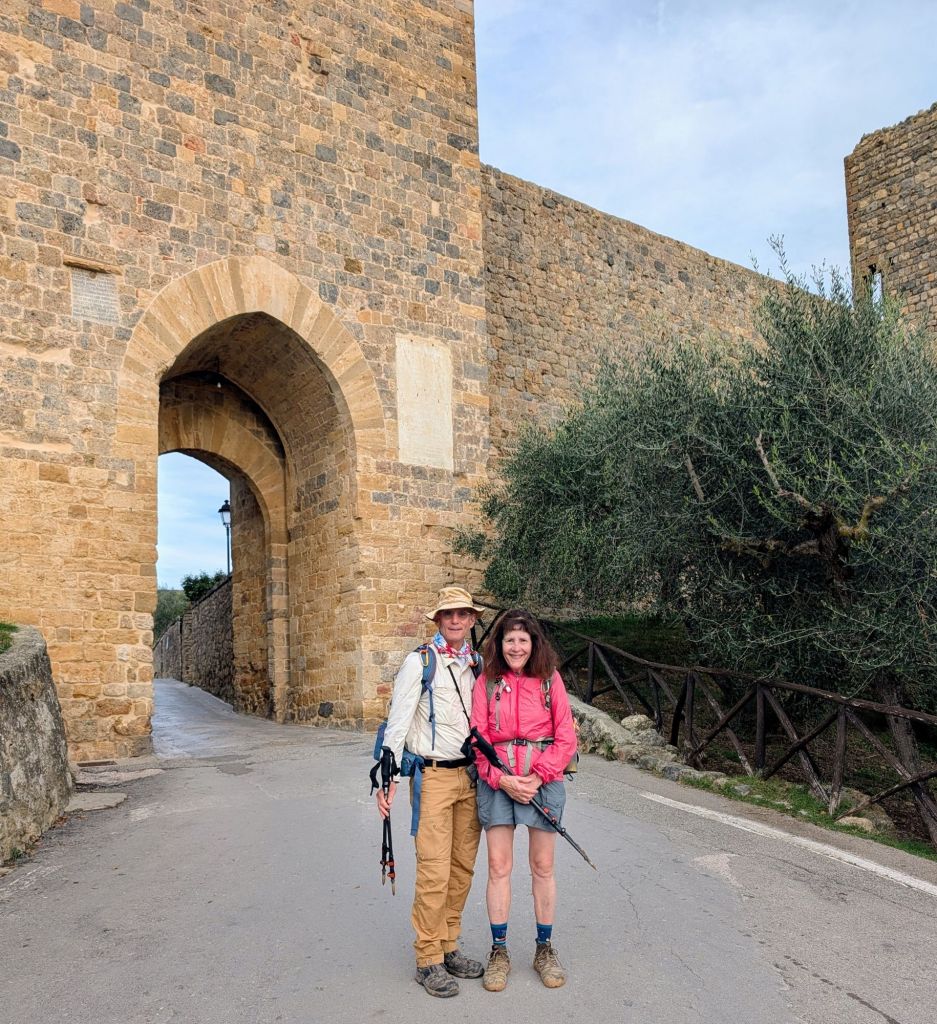
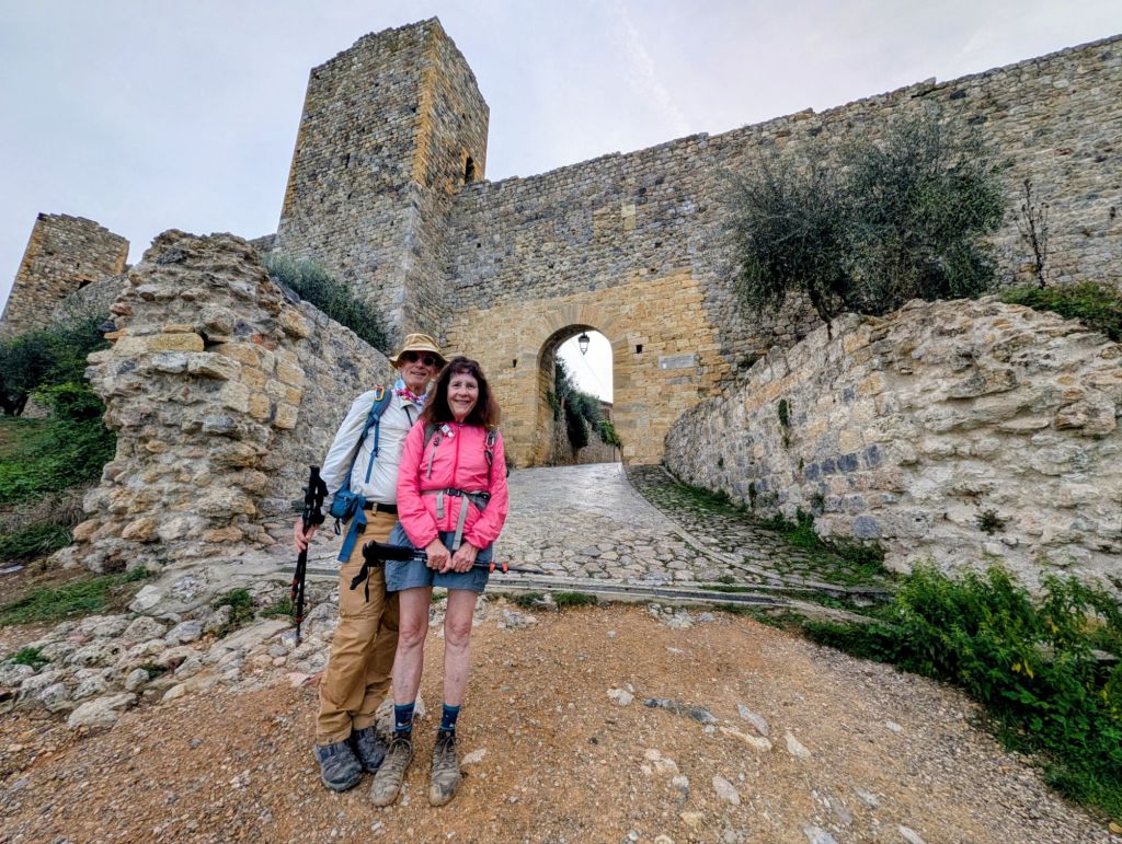
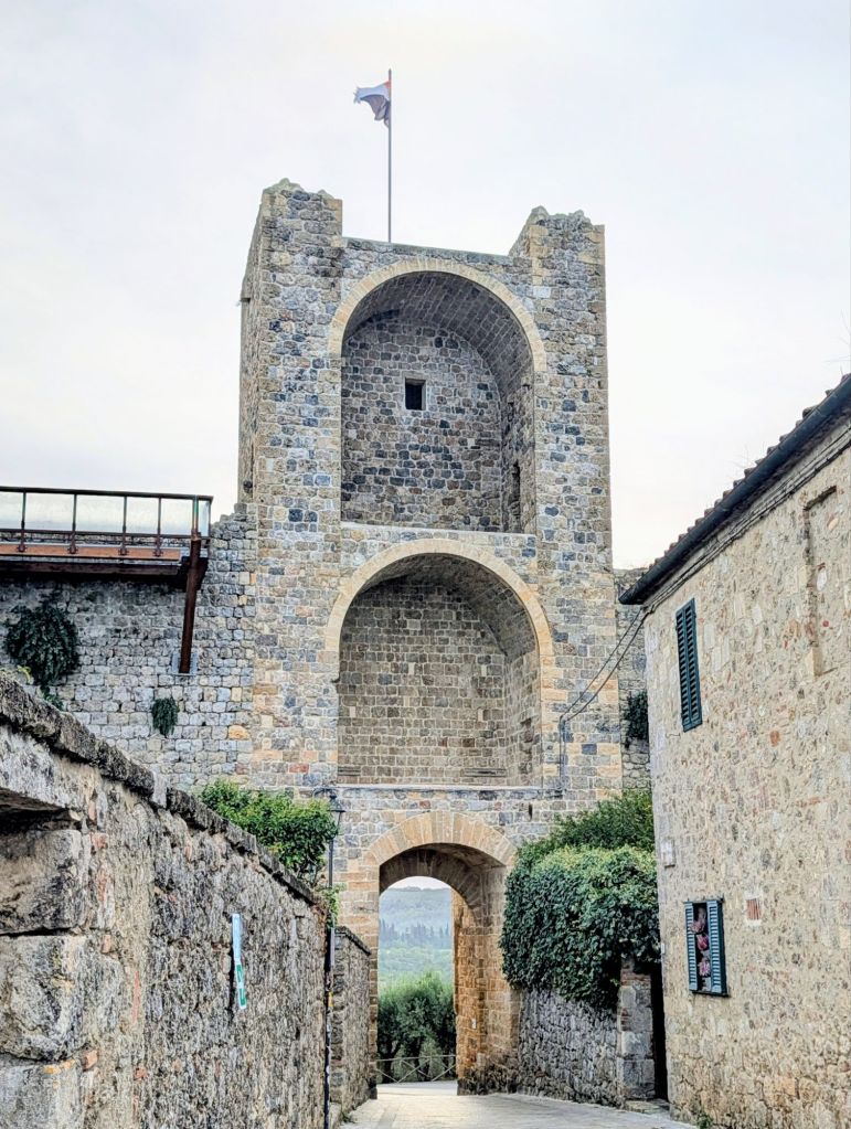
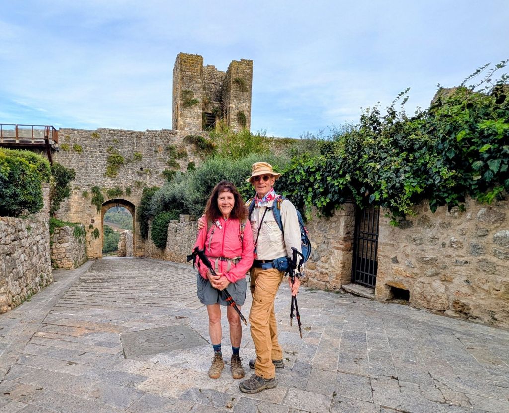
Historically, the village had only two gates: Porta Senese to the north which still has its original 14th Century wooden doors & Porta Romana to the south which was destroyed in WWII.
Porta SenesePorta Senese with its original doors opening to Via Soccini
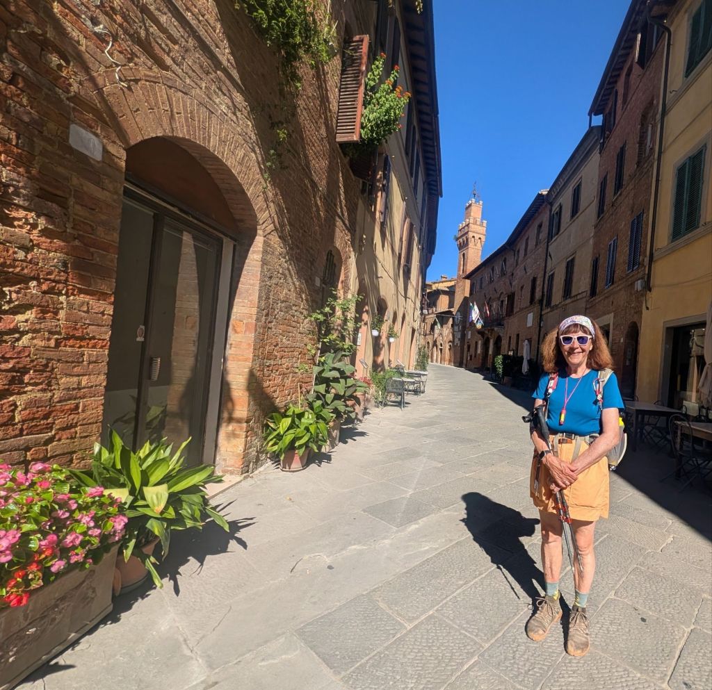
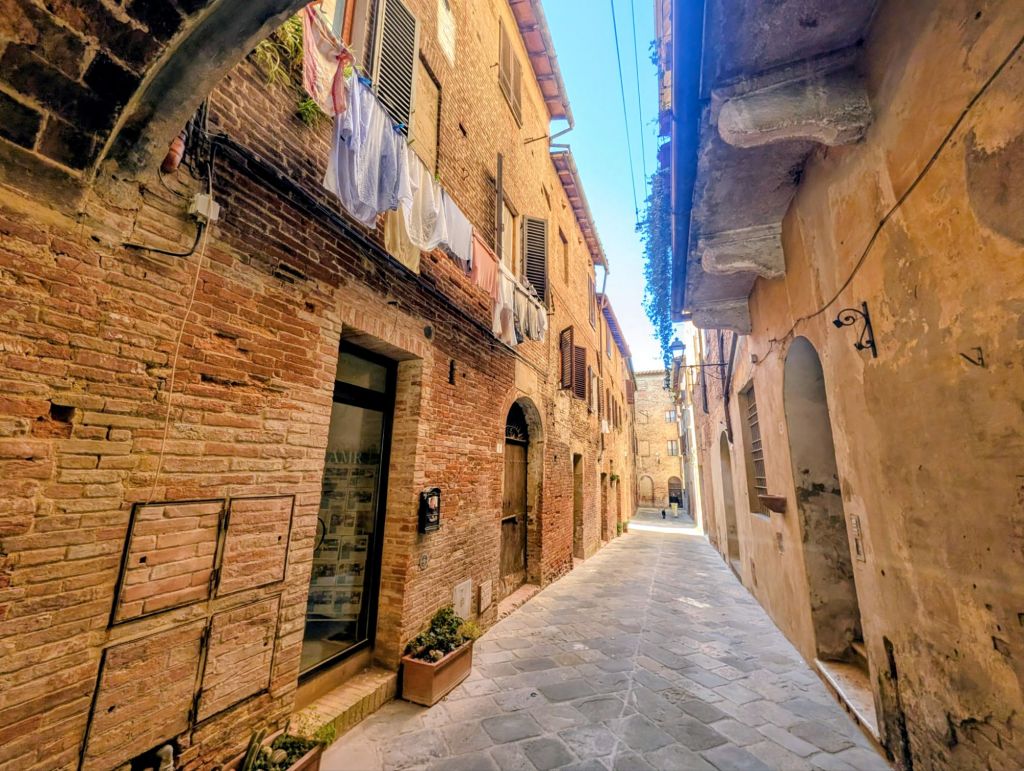
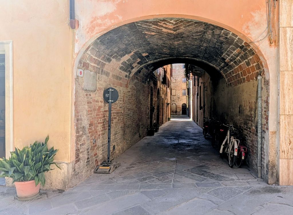
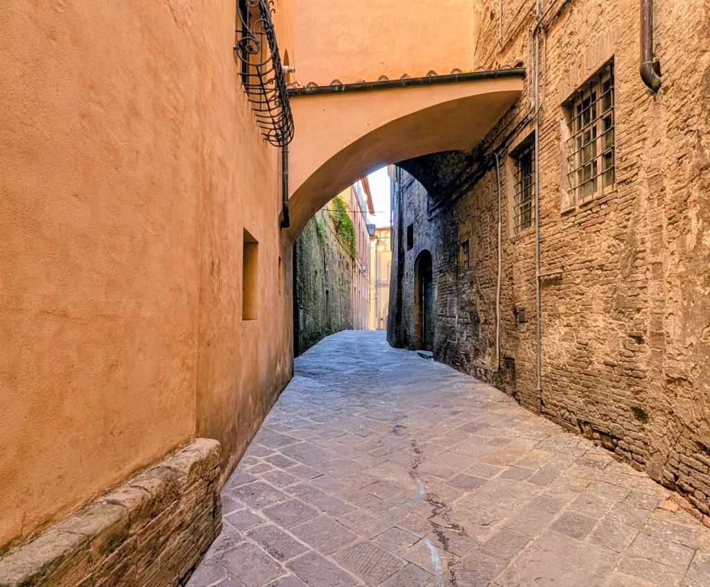
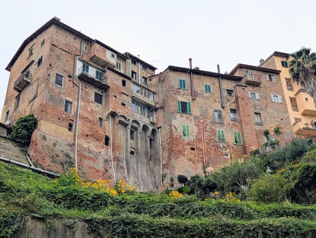
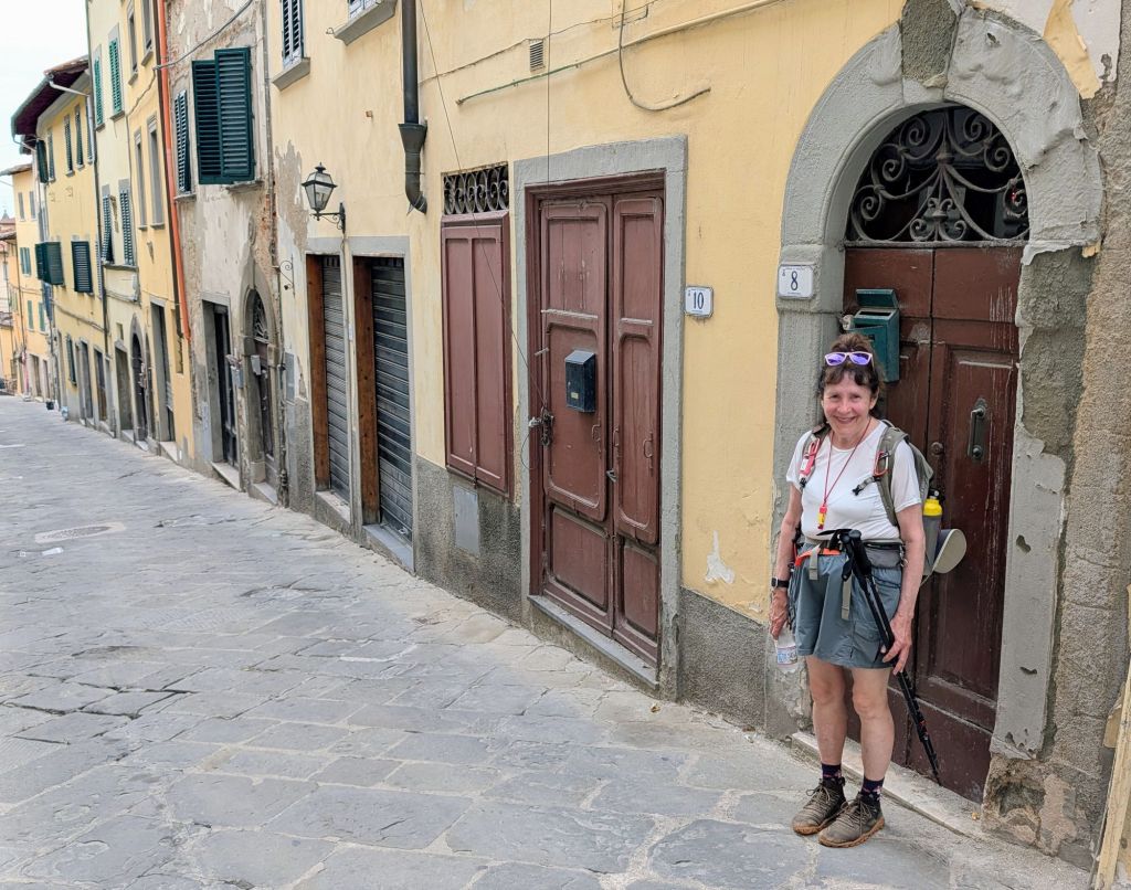
Via Soccini runs right through the historic city center. It is lined with Gothic palazzi, flower-boxed windows, local artisanal shops, & cafes.
Via Soccini
This street is named for a local family whose members included illustrious jurists as well as some heretics who organised various doctrinal Socinianism movements that developed during the 16th Century.
Socinianism is a Christian movement that rejected traditional church dogmas favoring human reason & moral behavior.
Buonconvento street scenes:
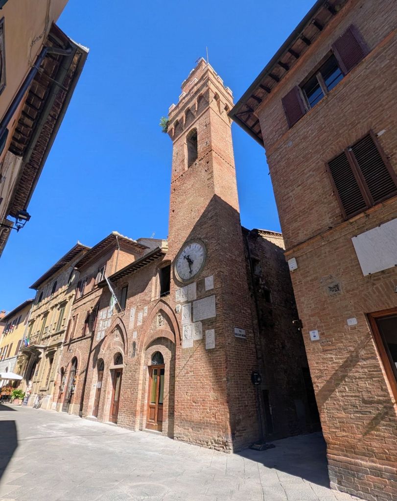
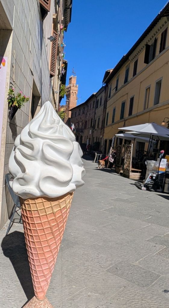
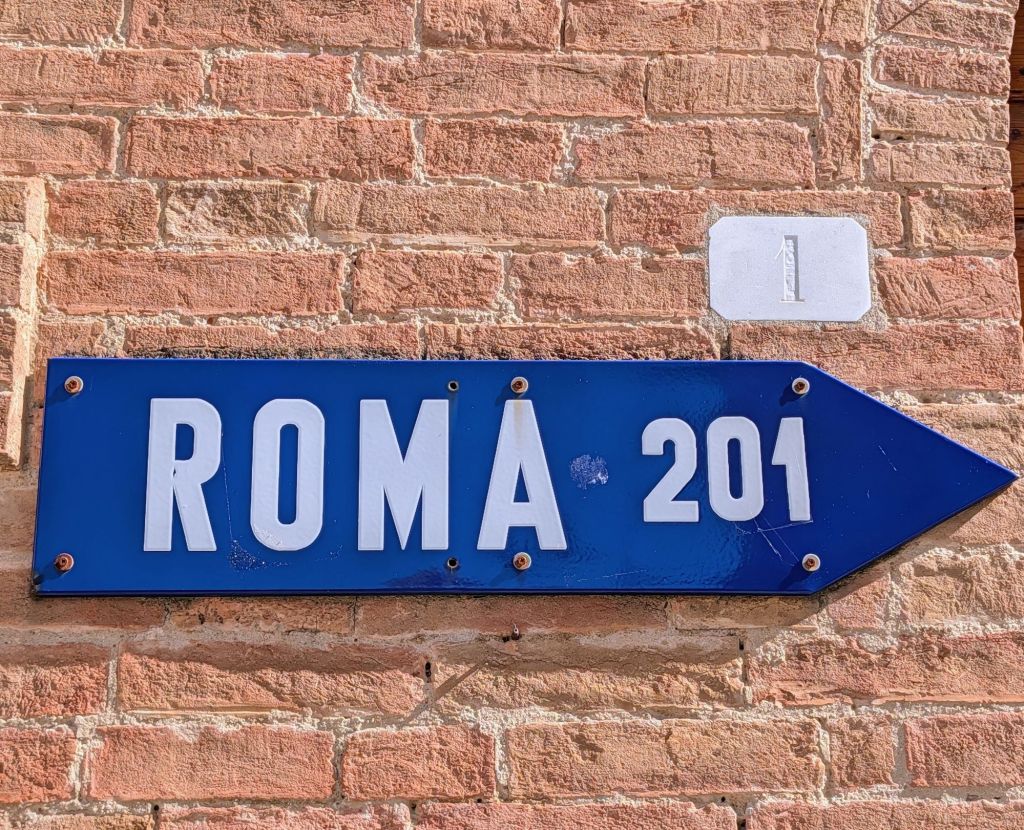
Palazzo Pretorio on Via Soccini with clock tower from 1589Gelateria on Via SocciniRome 201 KM to the southwest
13.2 Miles; 5.75 Hours on the trail (Cumulative: 113.6 Miles; 55.4 Hours on the trail)
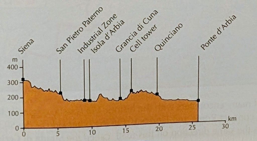
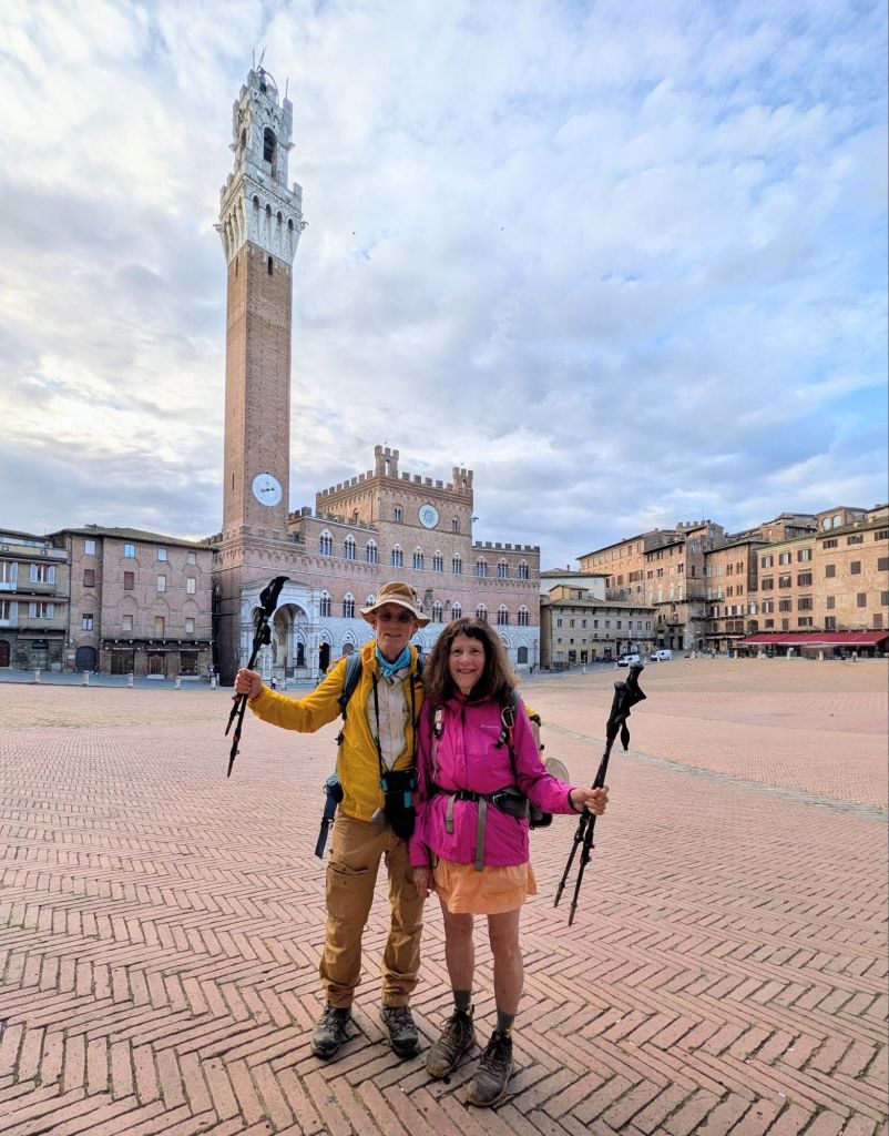
Leaving Siena, the Via Francigena took us through the Piazza del Campo one last time.
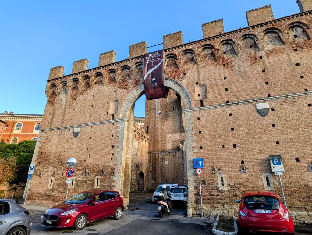
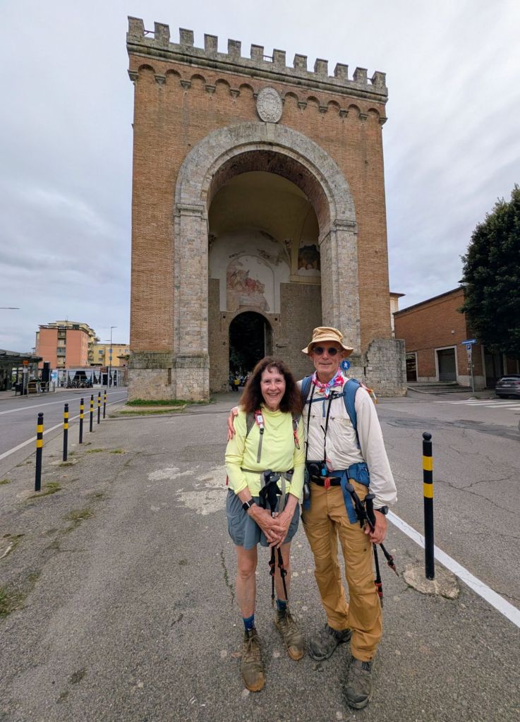
We headed south leaving Siena through the Porta Romana (Rome Gate) which was built in 1328.
Siena Monday morning rush hour traffic through the Rome Gate
After a bit, we hiked a short section along a busy road, then the Via Francigena put us on farm roads almost the entire time today.
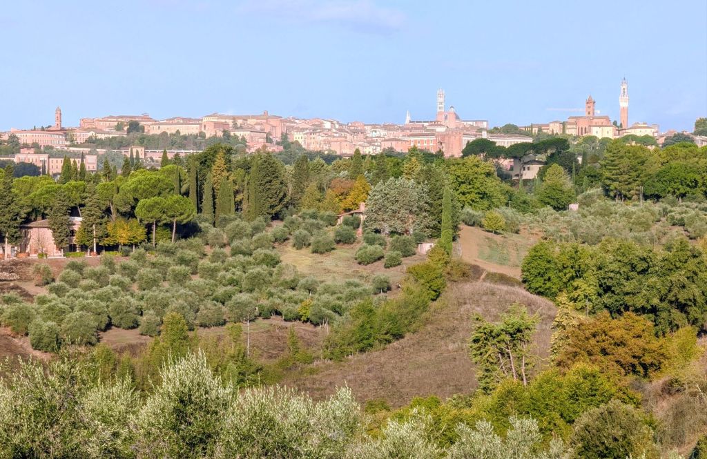
Looking back towards Siena in the distance
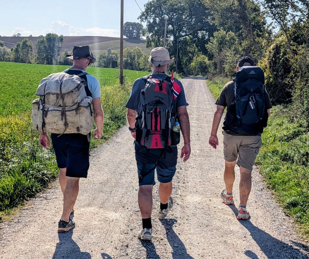
Along the trail, we met three men from Norway. They are hiking the entire Via Francigena from Canterbury to Rome; but, in sections.
On this trek, they started in Switzerland & are going to Rome.
They want to hike the rugged Pacific Crest Trail in America, then buy a boat to sail back to Norway.
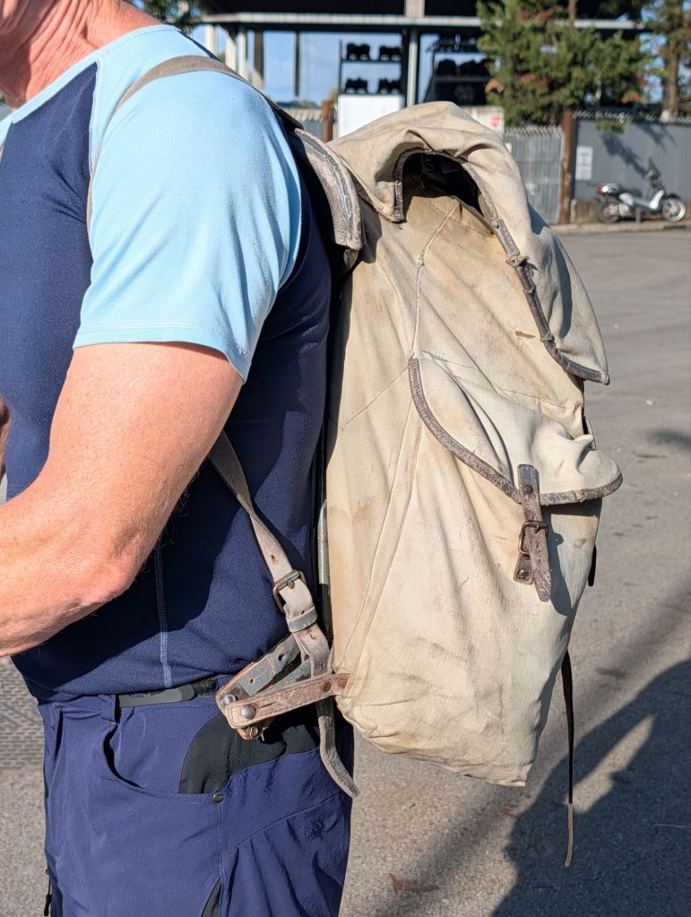
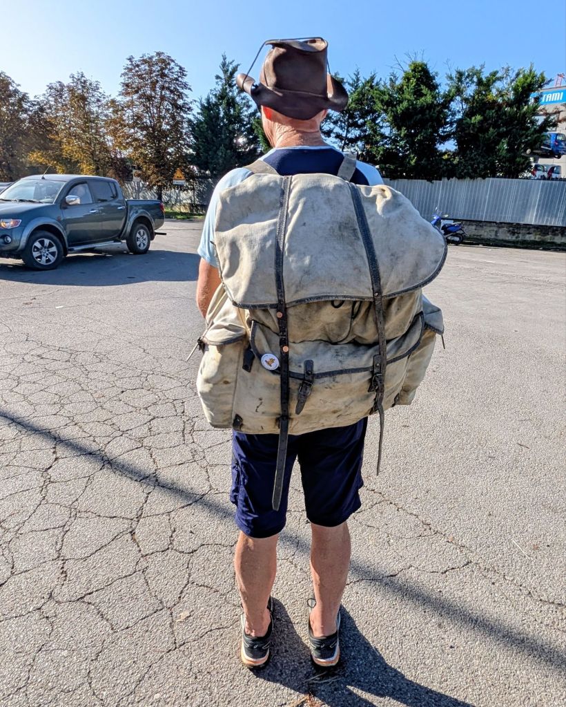
I noted to one man that I saw his pack had a metal frame, so it must be very old. He told me it was from WWII.
Notice the metal pack frame on his waistWWII Norwegian Army Pack
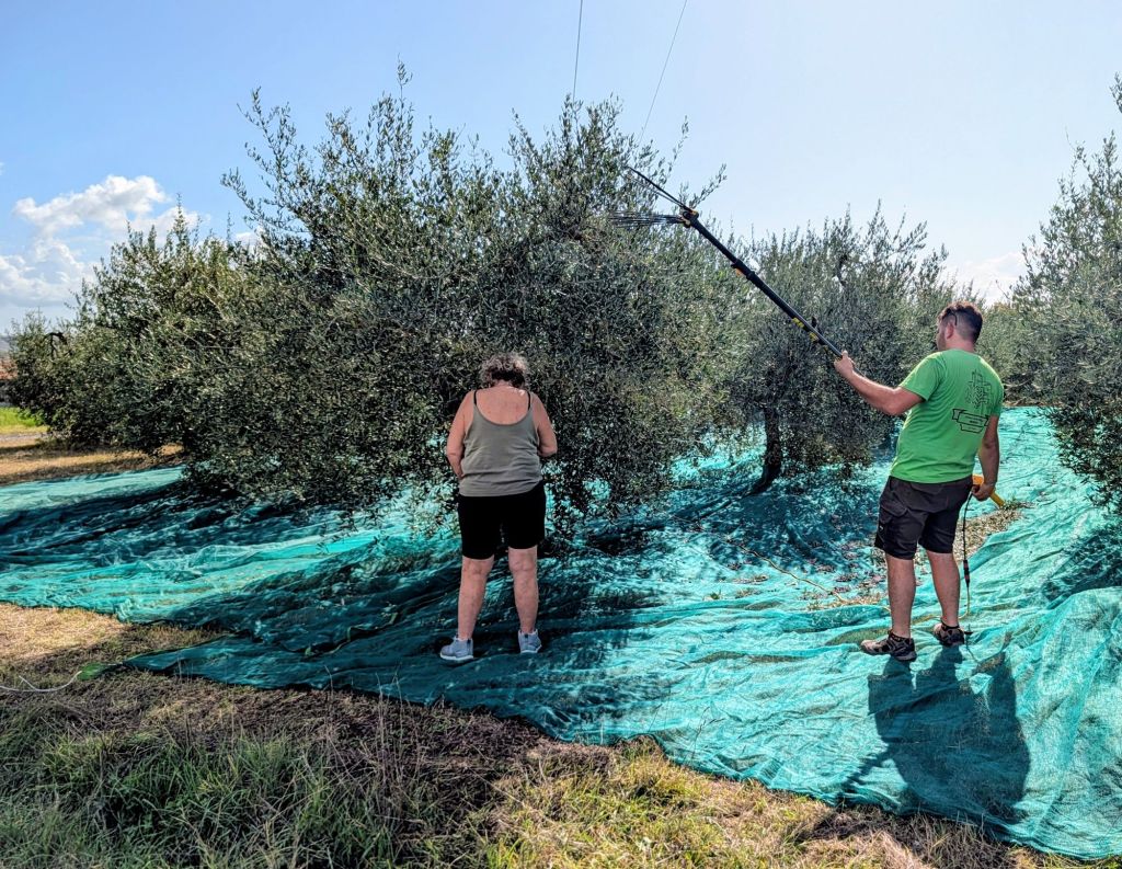
We walked by a couple starting to harvest their olives. The man is using a portable handheld device to shake the branches to get the olives to fall into the nets on the ground to be collected.
Olive Harvest
Lots of wide open spaces & rolling hills today.
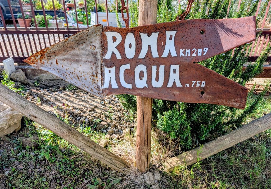
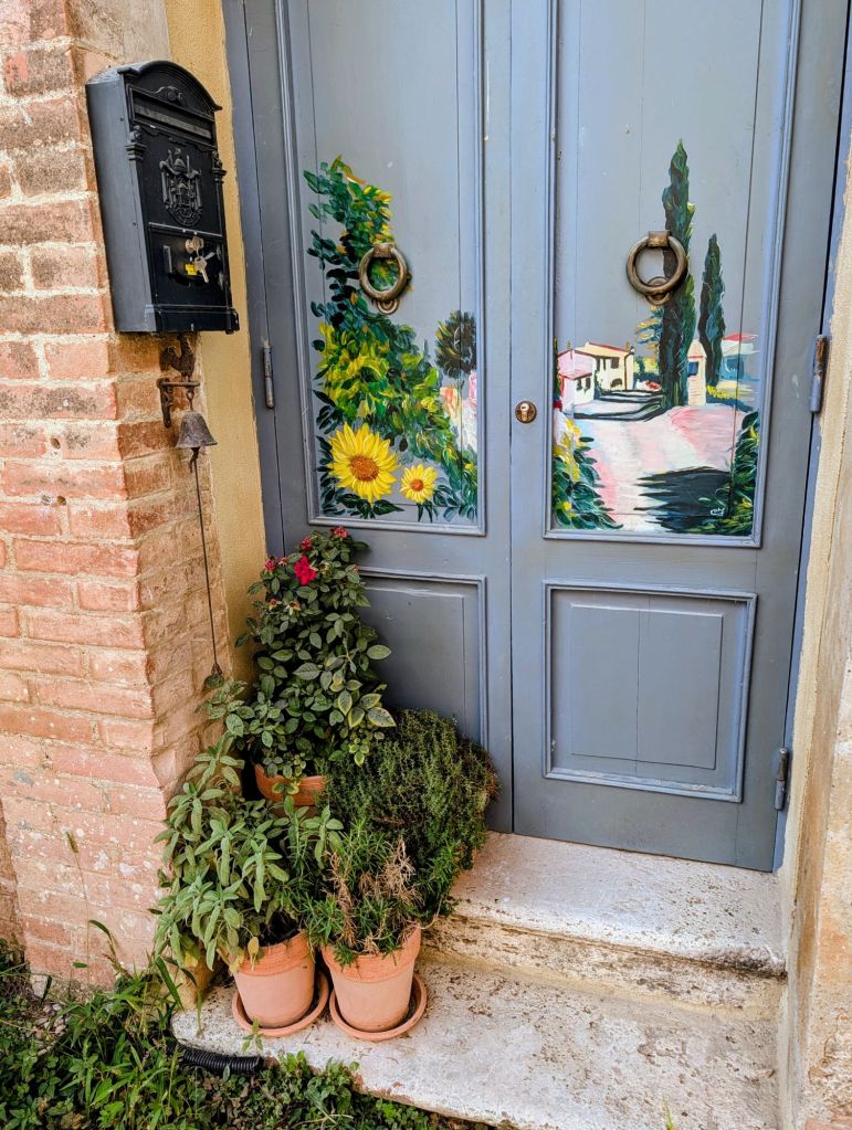
Saw this sign by a house with cute decorations.
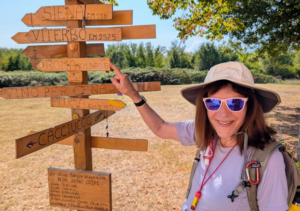
Only 209 more kilometers to RomeNotice the doorbell is a bell under the mailbox
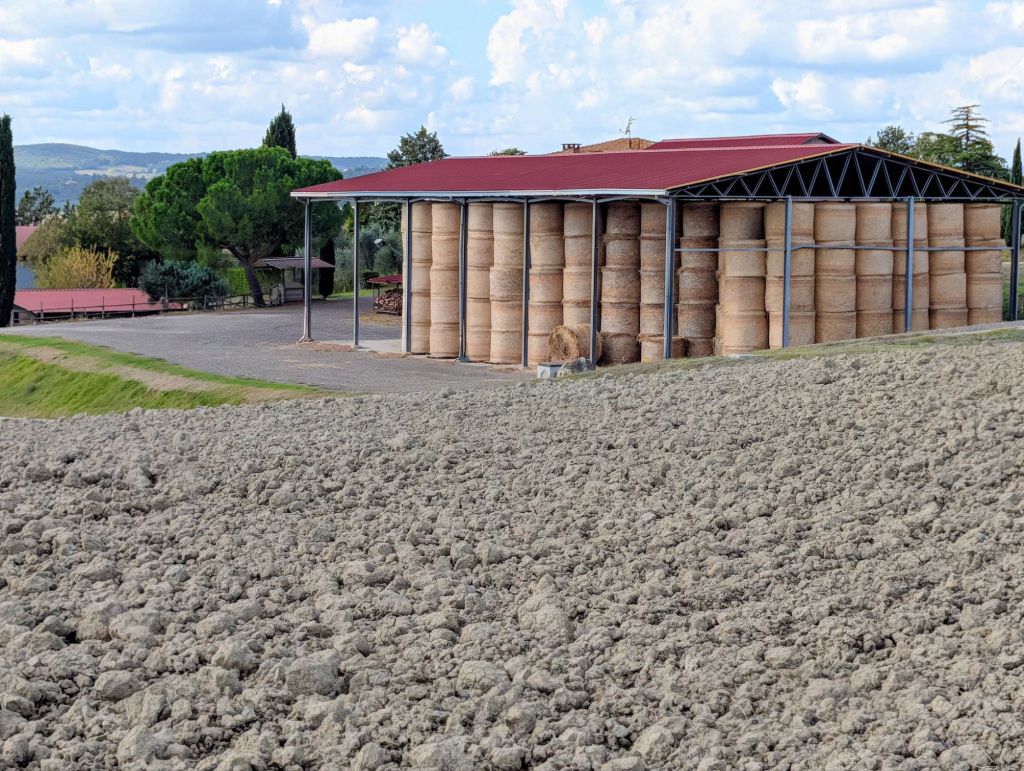
Some farmers have cut, dried, & baled their hay & put it up to store for the winter.
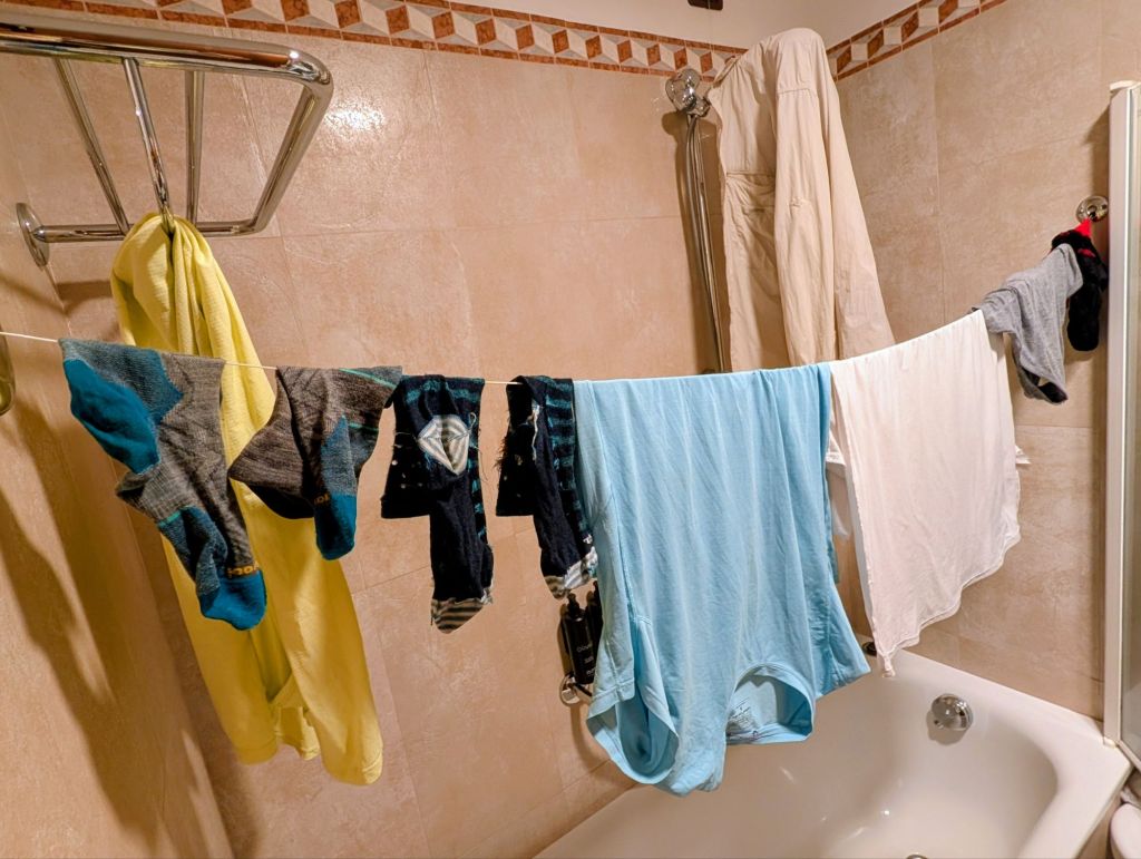
Today is a rest day during our Via Francigena hike which means sightseeing & doing laundry.
Rest Day= Laundry Day
Siena is a UNESCO World Heritage Site & ranks among the most visited places in Italy.
Siena is known for its numerous monuments & Gothic architecture.
It rivals Florence in historical significance & architectural beauty.
According to legend, Siena was founded by the sons of Rome’s co-founder Remus: Senius & Aschius.
They fled Rome after their father Remus was killed by his brother Romulus.
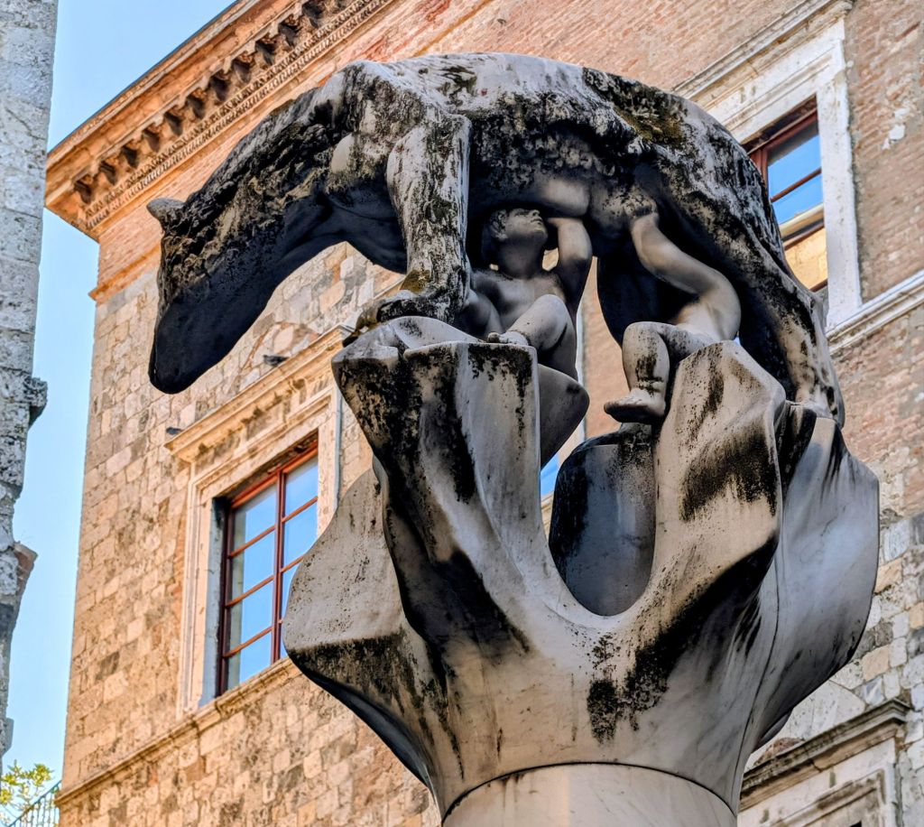
When they left, they stole the Capitoline Wolf statue showing Romulus & Remus suckling a wolf.
Capitoline Wolf
Furthermore, they rode black & white horses which gives Siena’s coat of arms its striking colors.
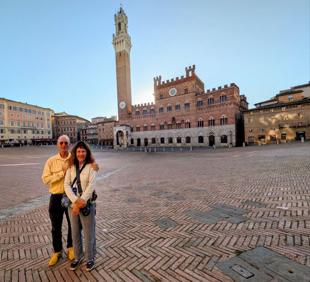
The shell-shaped Piazza del Campo ranks among Europe’s greatest medieval squares & hosts the famous Palio horse race twice annually.
The square’s unique design & surrounding Gothic buildings create an unforgettable setting.
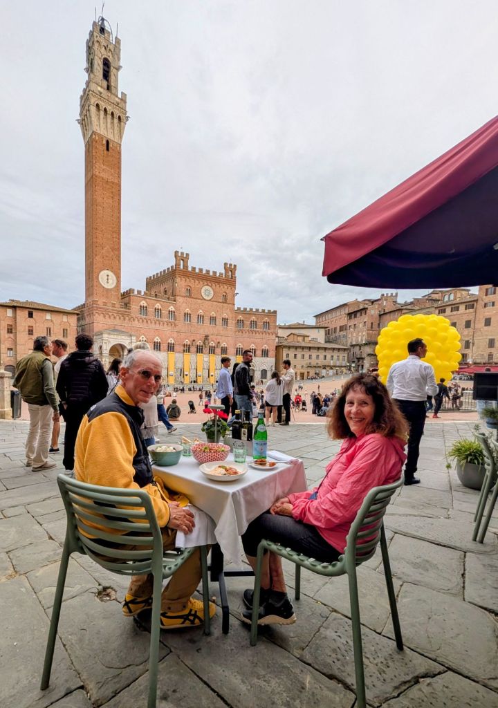
Piazza del Campo
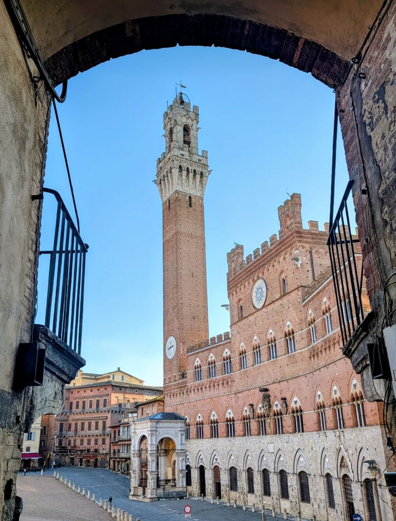
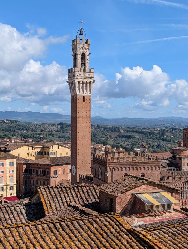
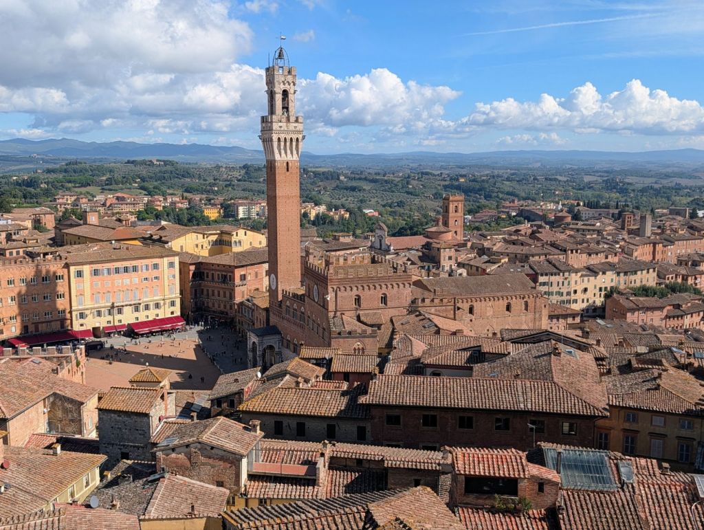
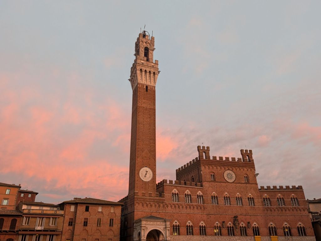
The Torre del Mangia which was constructed from 1338- 1348 rises 289 feet high above the square.
Torre del Mangia
The Sienese people have always attached nicknames as well as epithets to people or things. Among the first bell-ringers assigned to strike the bells on the hour was Giovanni di Balduccio who was known for his gambling vices. His wasteful habit earned him the nickname “Mangiaguadagni” (Earnings Eater”) or simply “Mangia”, so the tower got its name from his nickname.
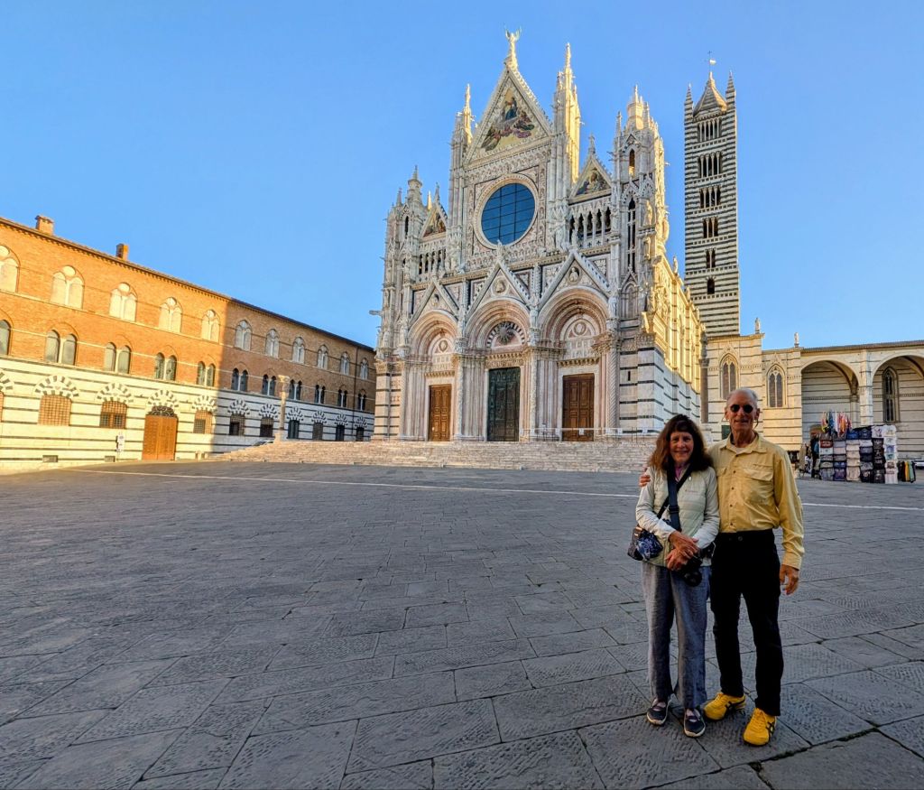
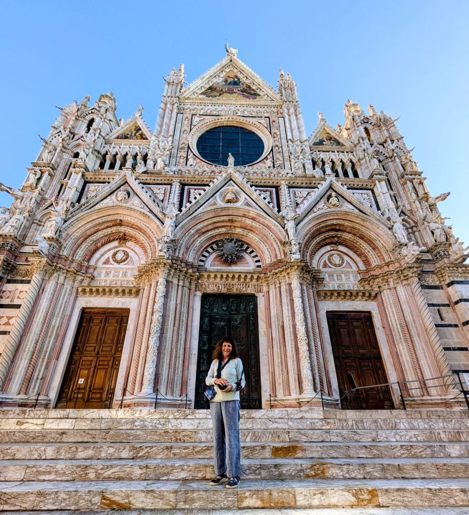
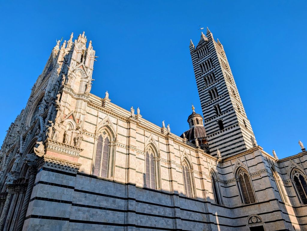
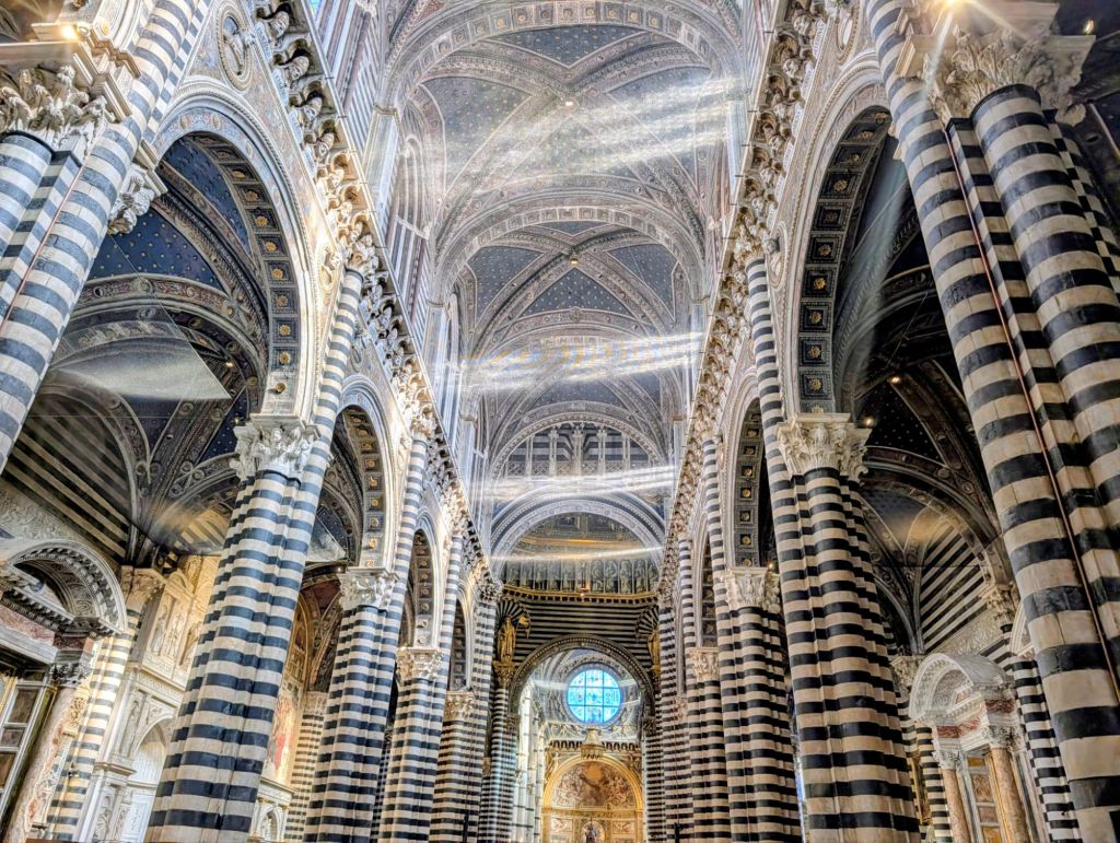
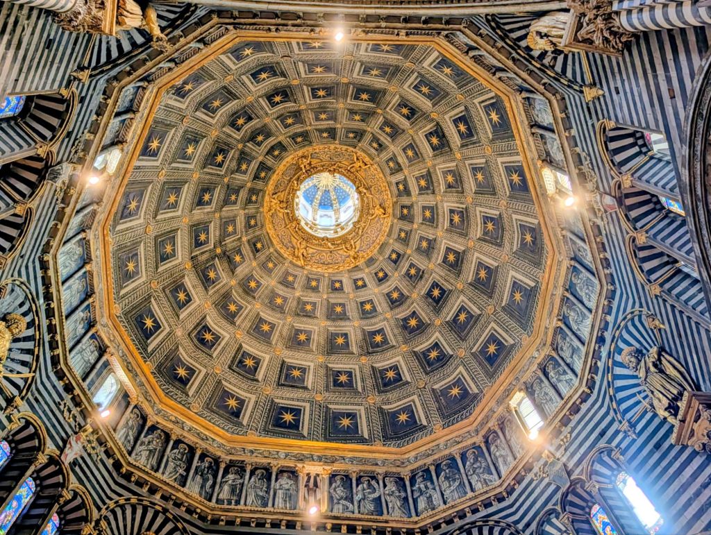
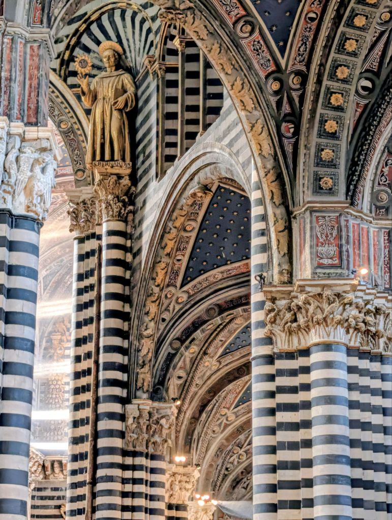
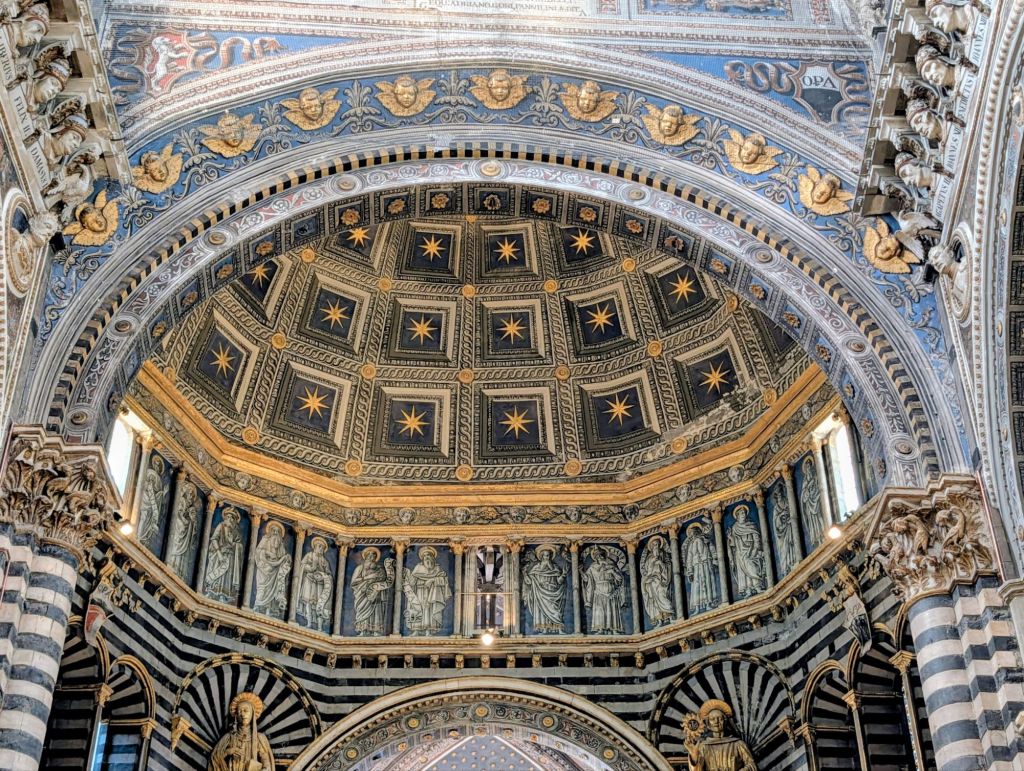
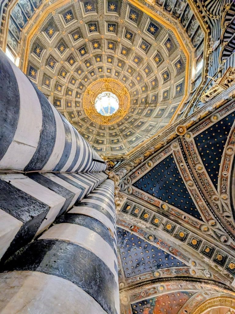
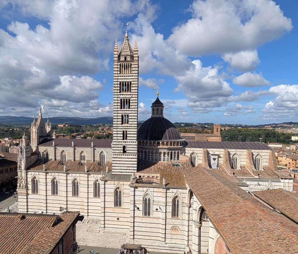
A main Siena sight is the incredible black & white striped Duomo (Siena Cathedral) from the 12th Century.
The cathedral is an Italian Gothic architecture masterpiece with its distinctive striped marble exterior.
The intricate details & stunning interior took more than 50 years to complete making it one of Italy’s most impressive churches.
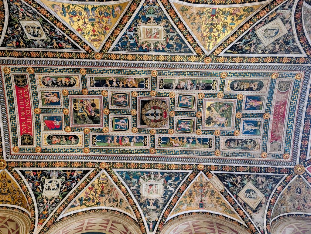
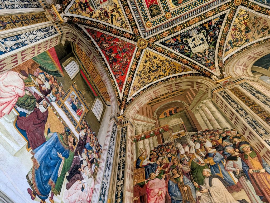
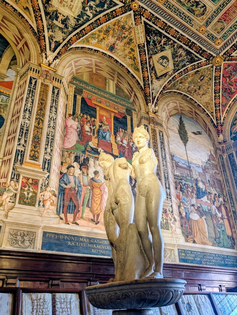
Inside a cathedral nave is the majestic Piccolomini Library which is named for the wealthy family who financed its construction. The library holds preciously bounded manuscripts & is known for its soaring, vibrant frescoes & intricate ceiling.
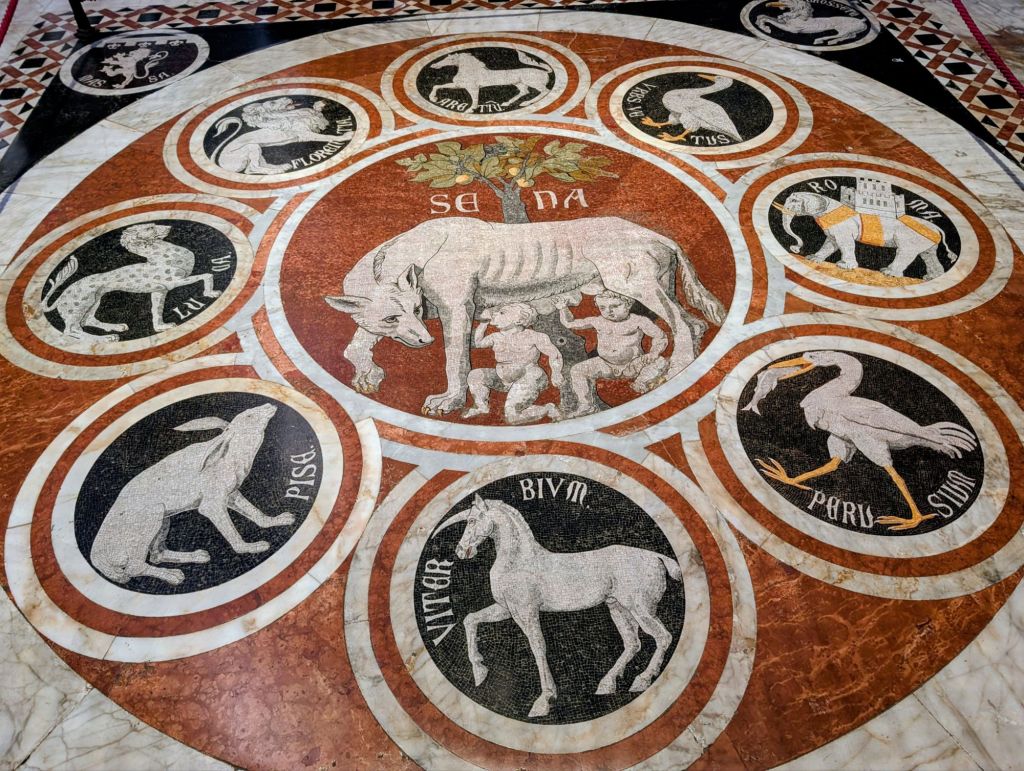
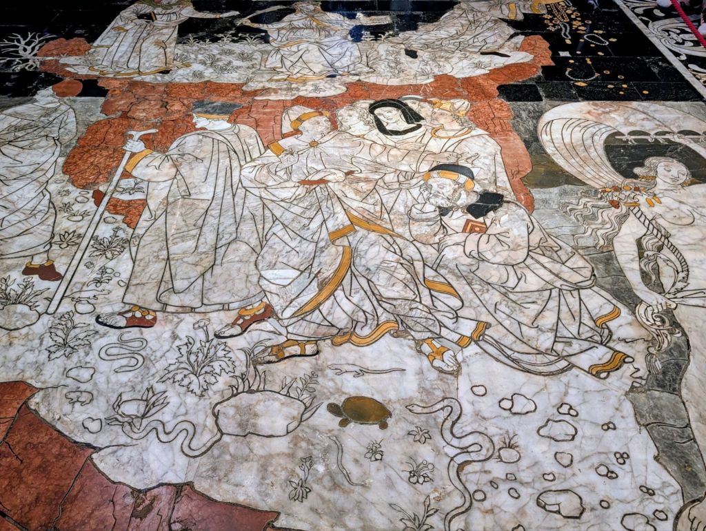
The Duomo’s floor has incredibly beautiful marble intarsia pictures.
Intarsia is a decorative inlay technique used in which different colored or different material pieces fit together like a mosaic or jigsaw puzzle.
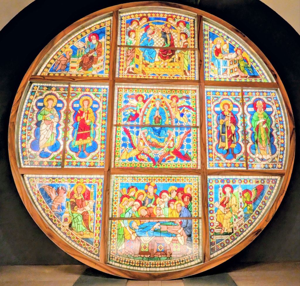
In the cathedral museum, we saw the original oculus that was installed in the Duomo in 1248. In 1943 during WWII, it was removed to keep it safe. Its diameter is six meters & its surface area is thirty square meters which depicts the Burial, Assumption, & Coronation of the Virgin Mary.
In 1339, Siena was at its height in power & influence. City authorities decided that the already constructed cathedral that is admired today should be lengthened & enlarged beyond measure to create a building with epically colossal proportions.
Work began & continued for over 18 years; but, not without setbacks. The project was ambitious & also extremely complex. Work was interrupted & restarted several times due to collapses.
However, the Black Plague decimated Siena’s population & effectively marked the project’s end as well as Siena’s decline.
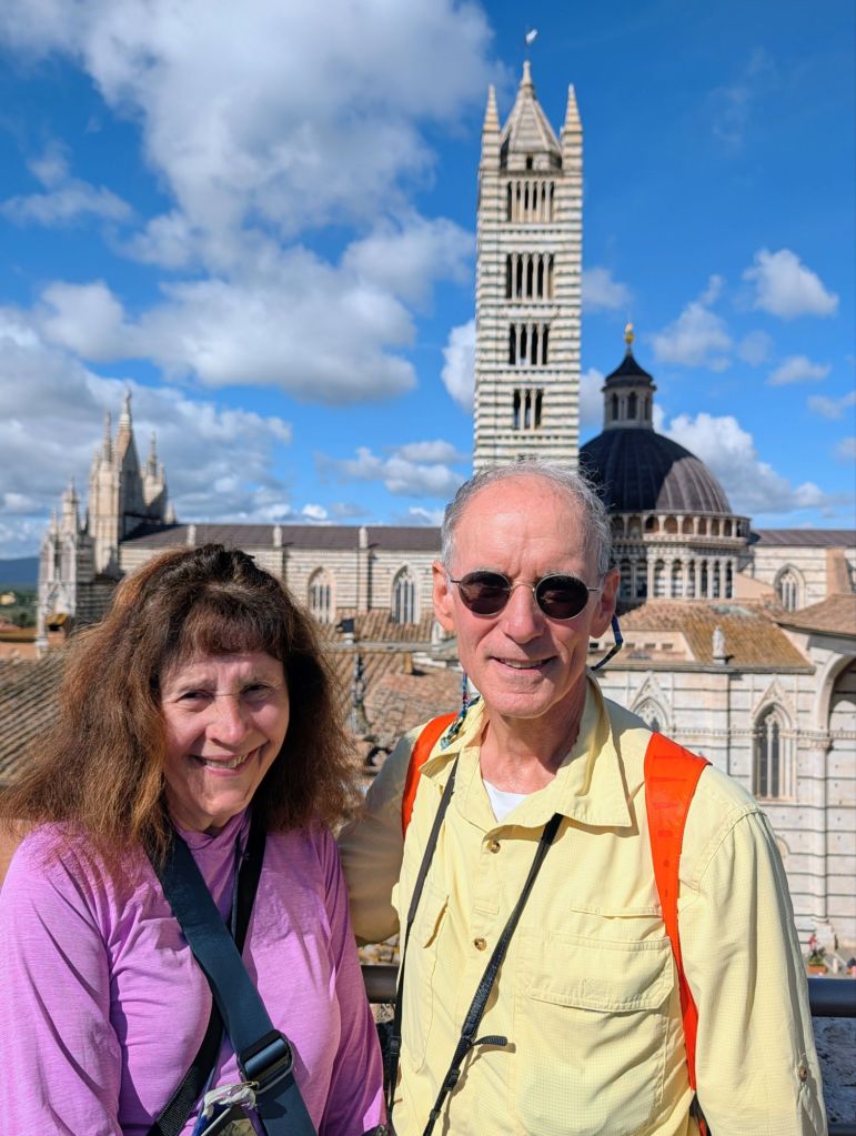
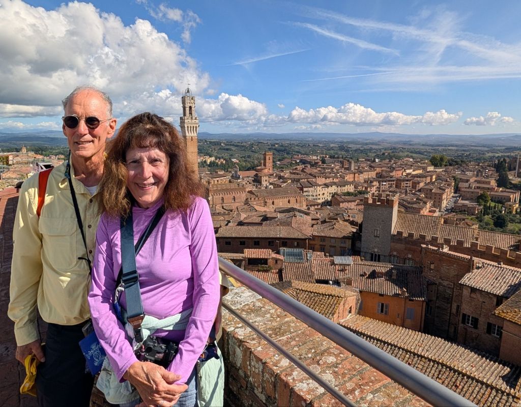
We climbed the remnant known as Il Facciatone (“Big Face”) which is what was supposed to be an even larger version of the Duomo to get nice views over Siena.
There is a famous horse race here called the Palio di Siena which is a historic medieval tradition held twice a year in the central square Piazza del Campo.
It is held on 2 July (Palio di Provenzano to honor the Madonna of Provenzano) & 16 August (Palio dell’Assunta to honor the Virgin Mary’s Assumption).
During these races, the Piazza del Campo is covered with a packed layer of dirt & clay.
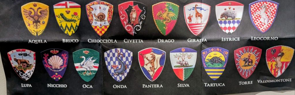
Siena has 17 historic neighborhood districts (contrade) with 10 competing in each race (7 returning districts plus 3 chosen by lottery).
Siena’s 17 Districts & their Crests
Jockeys ride bareback for 3 frantic laps around the square, lasting roughly 90 seconds.
A horse can win even if its jockey falls off as long as the horse is still wearing its contrada’s colors when it crosses the finish line.
First prize is a painted silk banner called the Drappellone or Cencio dedicated to the Virgin Mary.
A horse can win even if its jockey falls off as long as the horse is still wearing its contrada’s colors when it crosses the finish line.
The Palio is held over four days.
The first day is for assigning horses to each district.
The second day allows the district to choose their jockey.
The third day is when the big race is run.
The fourth day everybody celebrates the race & the winner. Every district performs a different ceremony for its horse & joins the big parade in historical costumes.
This is a link to a BBC video showing the Palio (Highlight & Click on it to view)
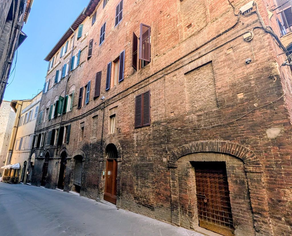
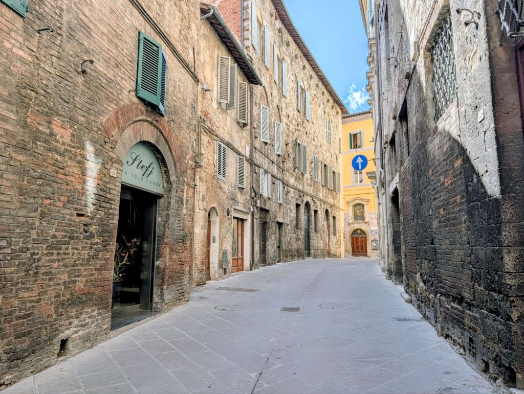
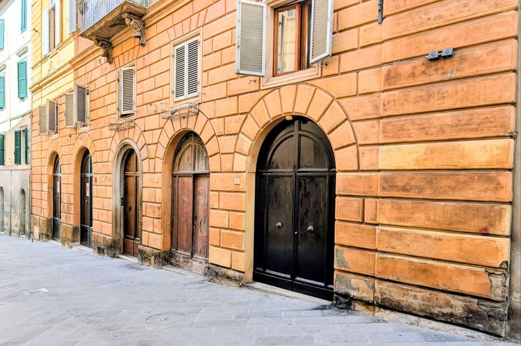
Here are some Siena street scenes:
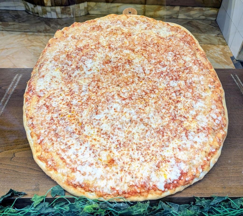
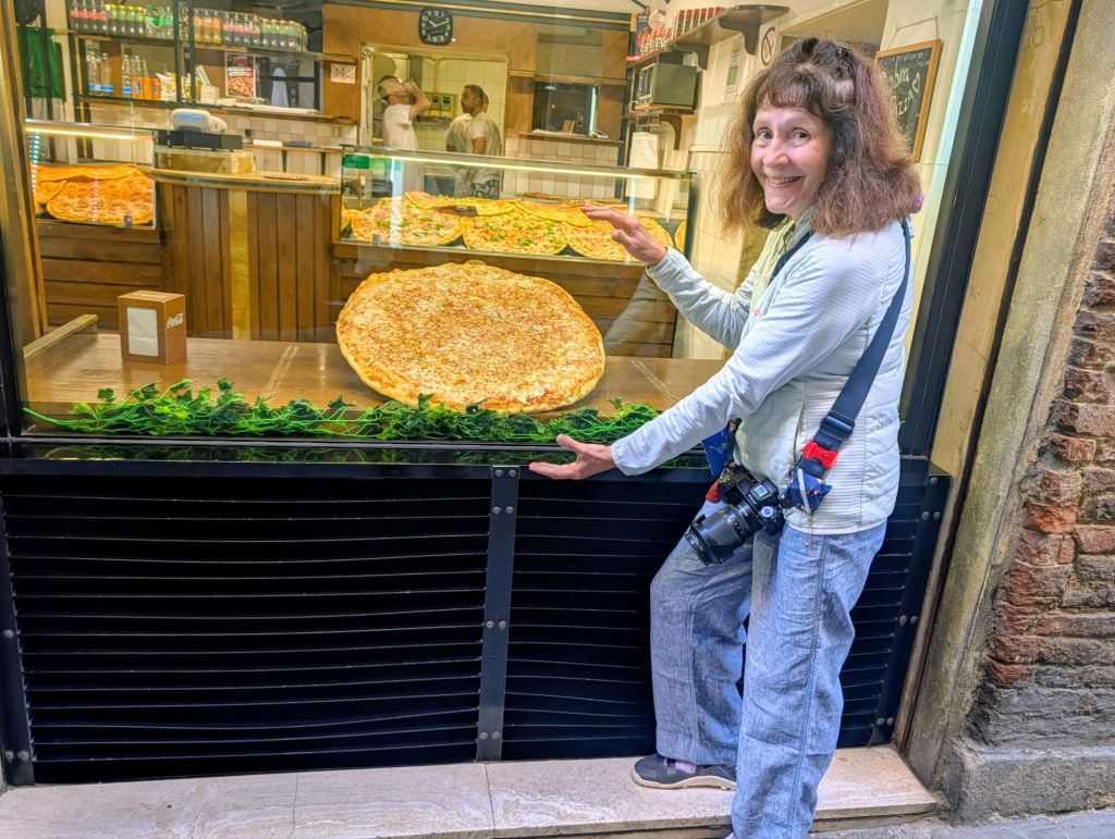
There are some seriously big pizzas here
When the moon hits your eye like a big pizza pie… that’s amore!
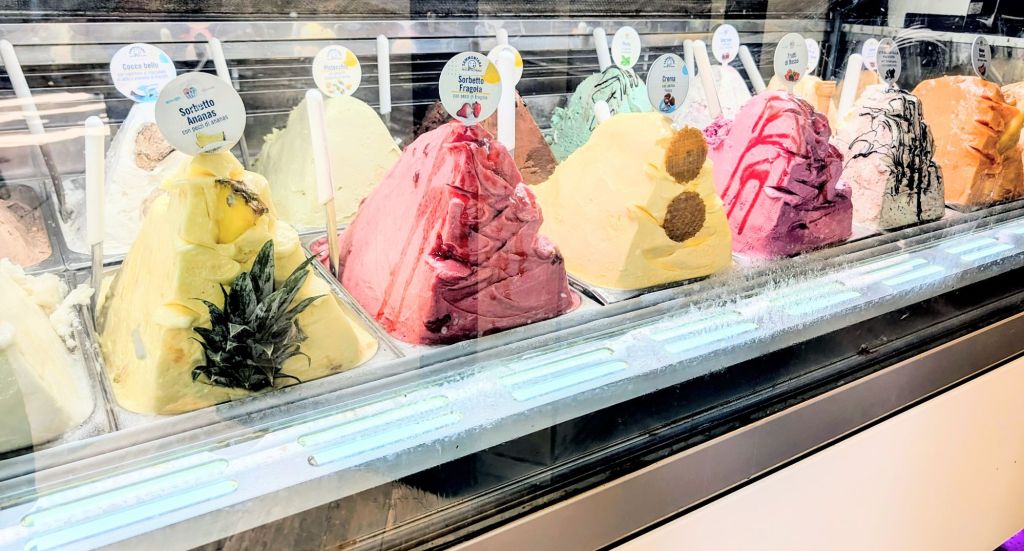
Along with big pizzas are mountains upon mountains of glorious gelato.
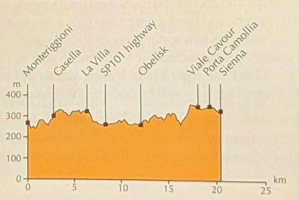
14.1 Miles; 7 Hours on the trail (Cumulative: 96.2 Miles; 47.6 Hours on the trail)
Monteriggioni is located in Siena province.
Its 570 meter (1,870 feet) perimeter is an almost perfect circular shape; but, not by design. Its shape was created by following the terrain’s natural contours.
The town was built by the Sienese between 1213- 1219 for purely defensive purposes. It dominates the territory from a strategic hilltop position overlooking the roads allowing it to control the area.
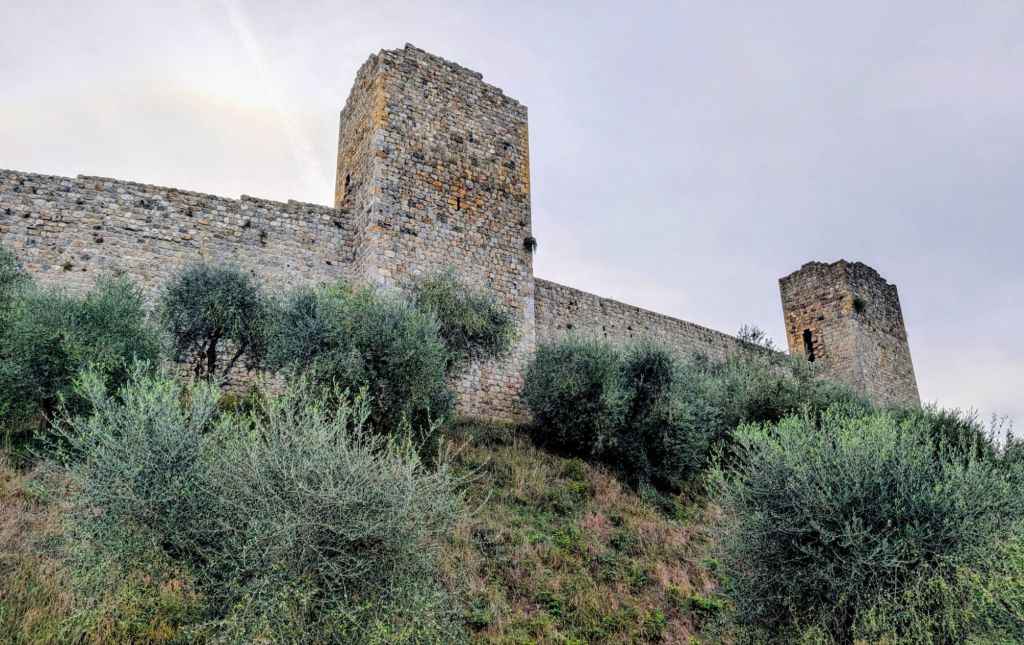
The intact city wall has 14 towers & 2 gates: Porta Romea facing Rome & Porta Fiorentina facing Florence.
Porta Romea (Rome Gate)Porta Fiorentina (Florence Gate)
The city walls are 10 meters high.
Rome Gate & City Walls Florence Gate & City Walls
The village structure as seen today can essentially be considered the original one because the only modifications done were in the 16th Century when towers were adapted to support new firearms & an earth layer was added to the external walls’ base as well as in 1921 when 3 of the 14 towers were lowered to wall level height.
Leaving Monteriggioni
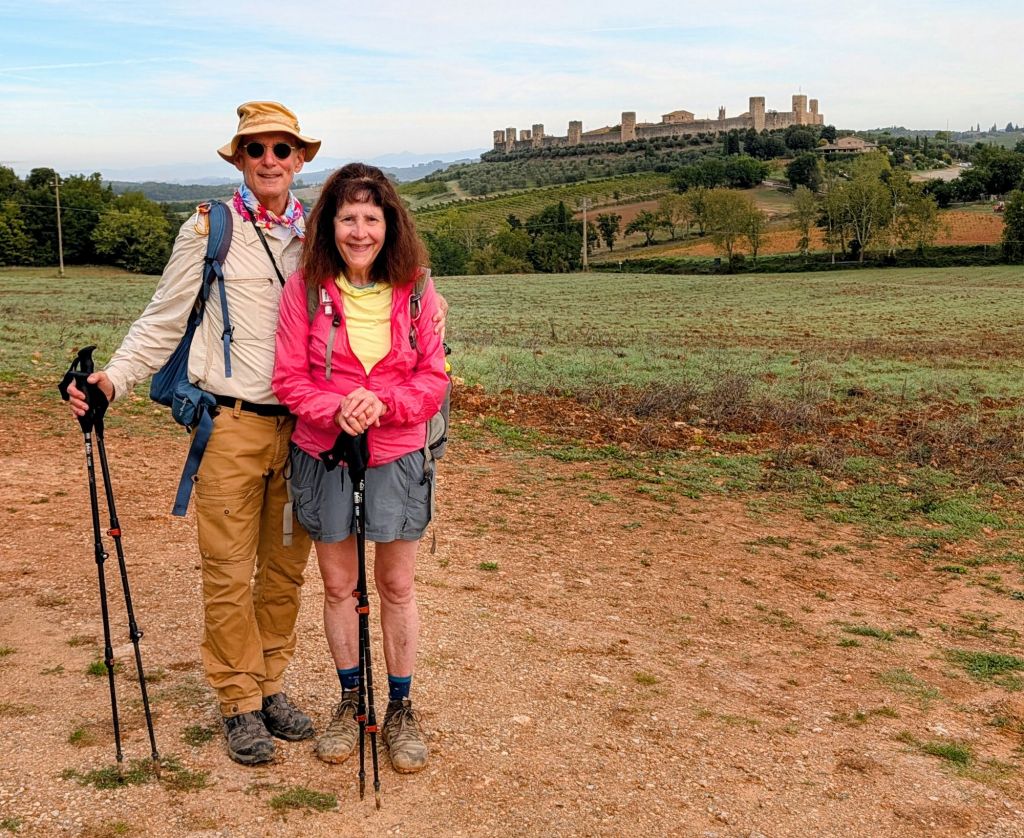
After visiting Monteriggioni, we had another beautiful walk through Tuscan hills passing through olive groves, vineyards, forests, & pastures.
We didn’t walk through any towns, only scattered small villages, houses, & farms.
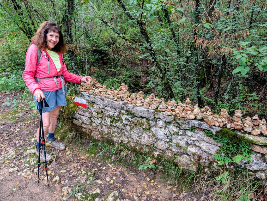
Gina adding to rock cairns on Pont Rosso which is a bridge dating from the Middle Ages
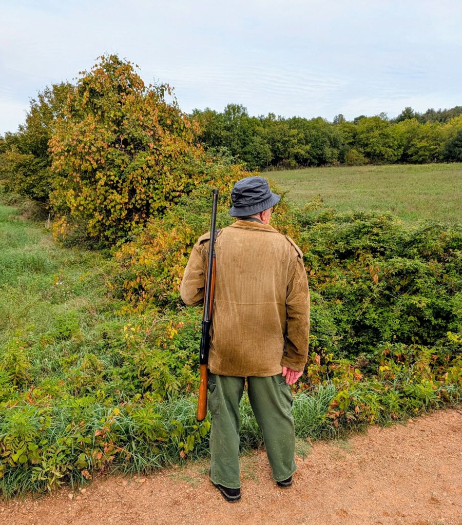
Since today is Saturday, bird hunters were in some fields with their dogs hunting pheasants.
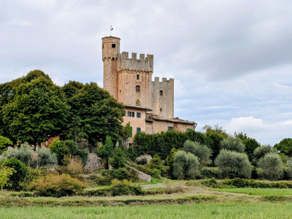
Bird HunterSaw Castella della Chiacciola which dates to the 15th Century
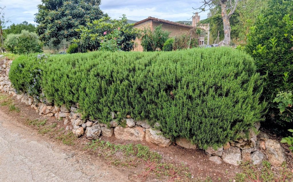
There is so much oregano along the route, it smells like something is cooking.
Wall of Rosemary
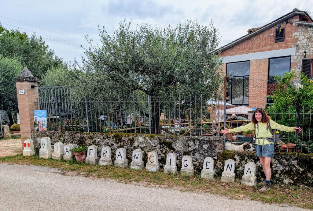
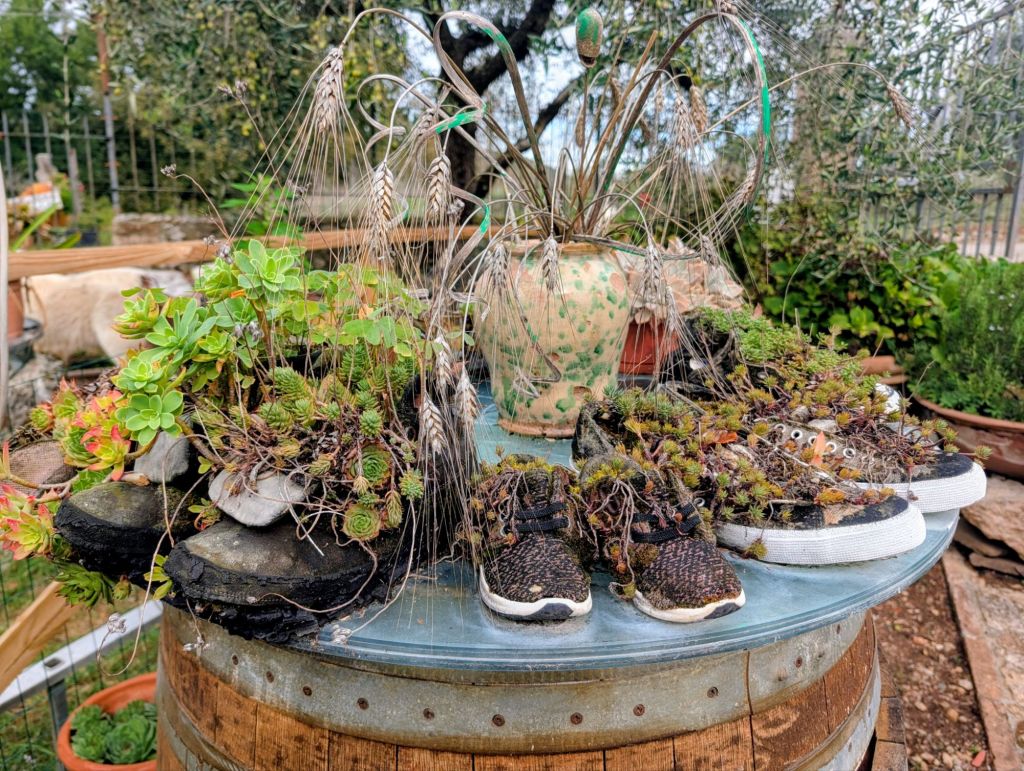
We stopped at this funky rest area.
I’d like to buy a vowelOne way to repurpose old hiking shoesEven backpacks need a breakPilgrim Crossing
We entered Siena at the Antiporto Camollìa which was a gate built in 1270 to provide additional protection at the city’s northern entrance.
19.3 Miles; 9.5 Hours on the trail (Cumulative: 82.1 Miles; 40.6 Hours on the trail)
Today was a long walk through beautiful fields, forests, olive groves, open spaces, & vineyards in Tuscany’s Val d’Elsa area
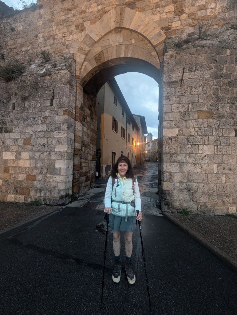
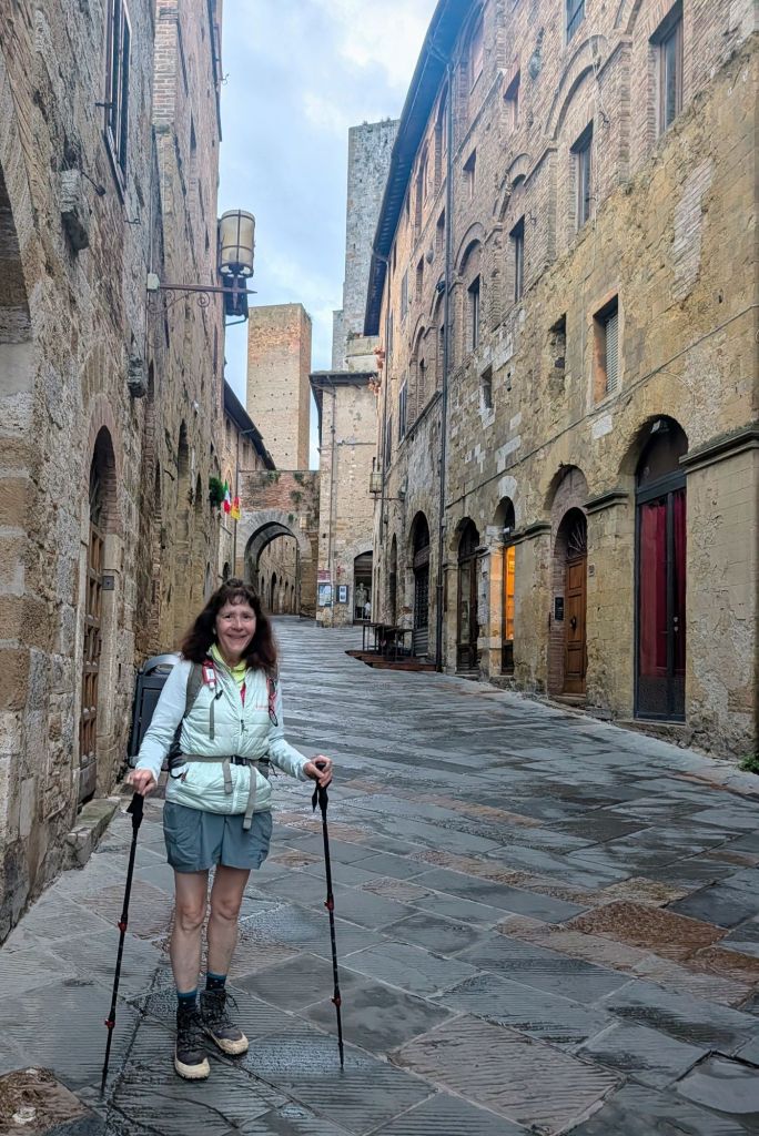
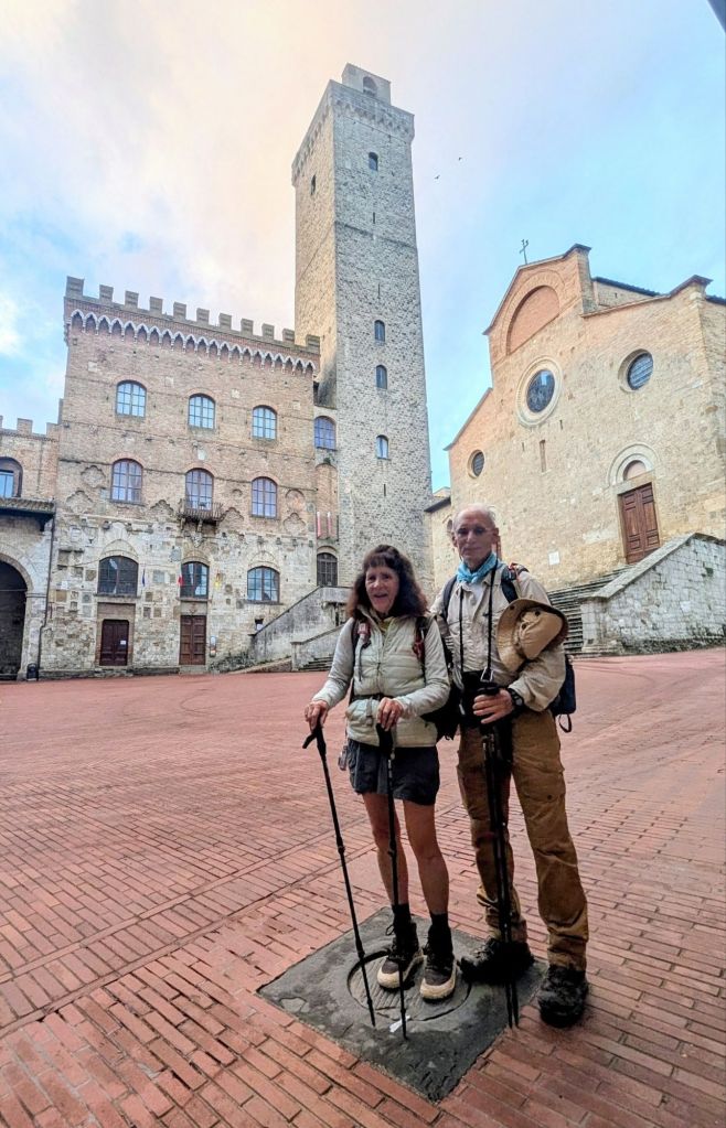
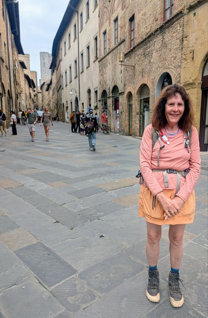
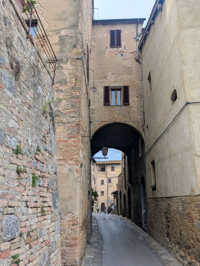
Because we had a long hike today, we left before sunrise which allowed us to walk through San Gimignano one last time; but, this time with no crowds.
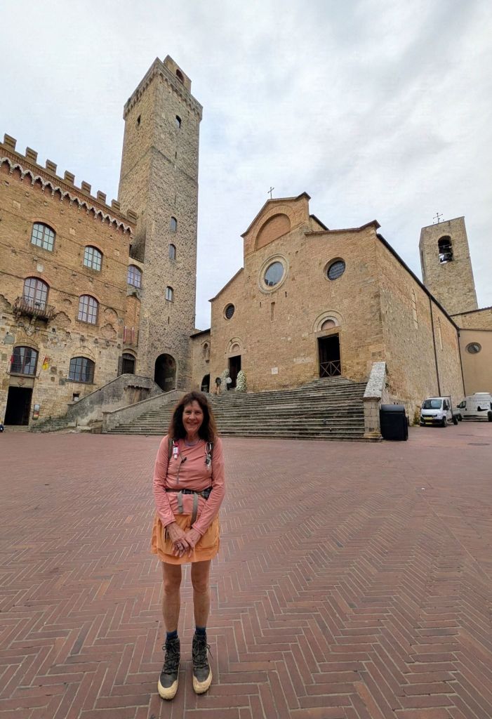
Porta San Mateo is the city’s northern gate & was built in 1262Via San Mateo leading into the town centerPiazza del Duomo & Torre Grossa (The Big Tower)
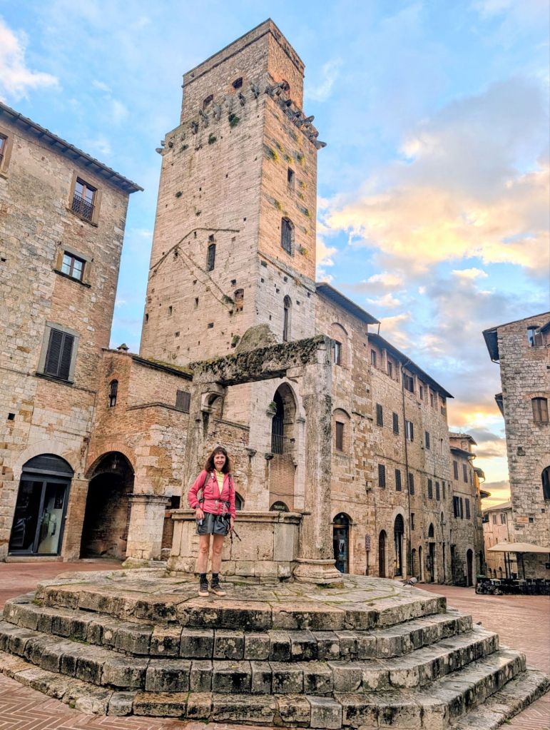
Piazza della Cisterna is San Gimignano’s second main square. It is named after the cistern which was constructed at this spot in 1287. The well dates from 1346 & was the town’s main water source.
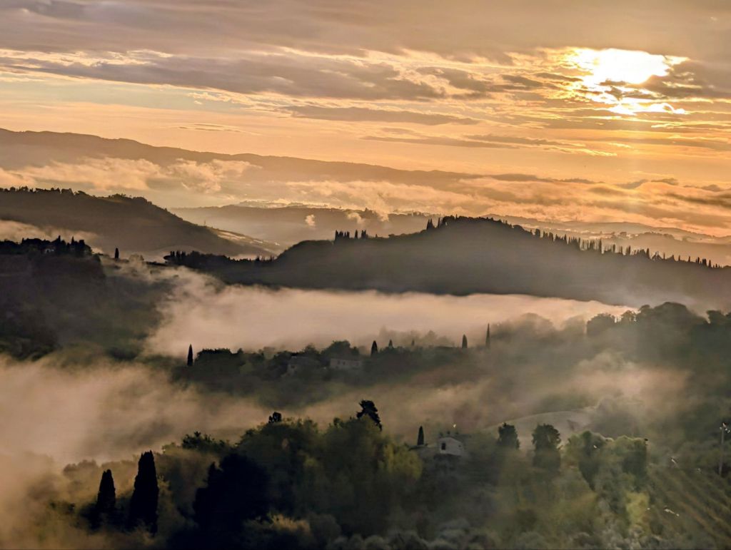
Our early departure also allowed us to enjoy another gorgeous Tuscan sunrise.
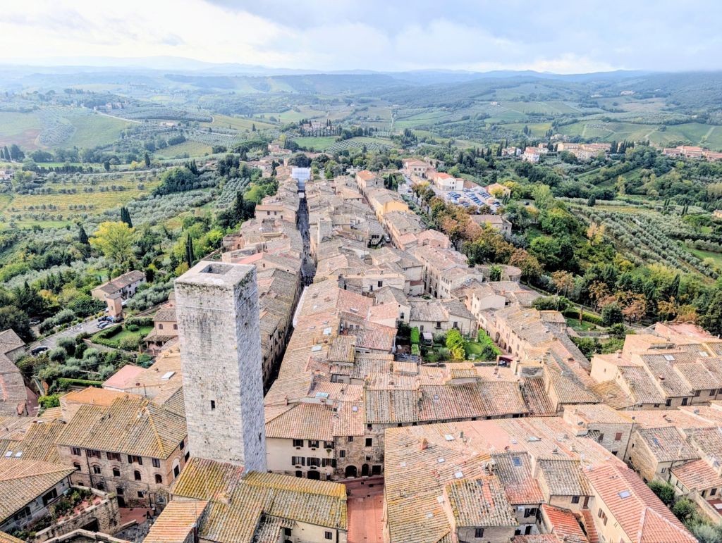
Leaving San Gimignano allowed us to view the city from a different vantage point.
Ciao San Gimignano!
Here are some trail images:
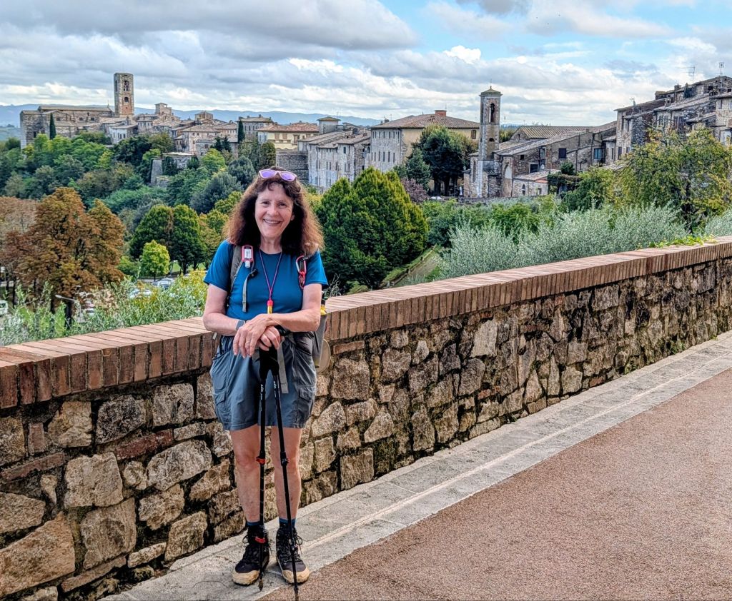
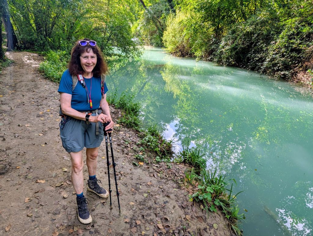
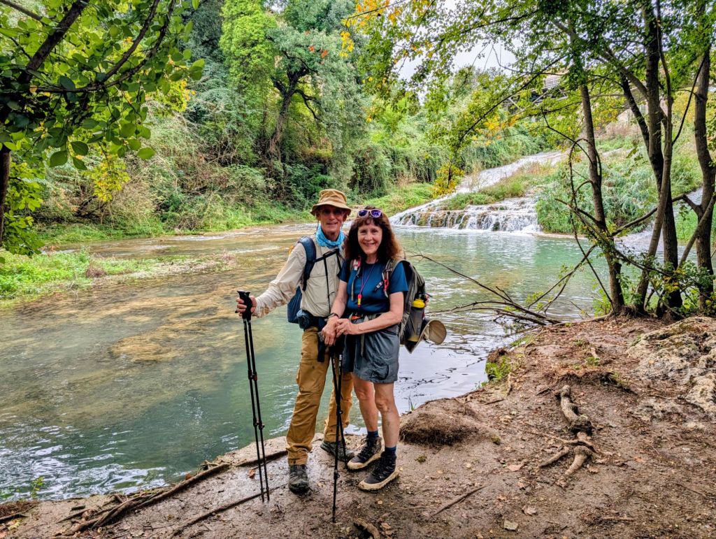
We walked through the historic town Colle di Val d’Esla whose Elsa River Trail has a series of small, tumbling, turquoise cascades along its shallow course.
Colle di Val d’Esla is known as “The Crystal City” because it produces 15% of the world’s finest lead crystal glassware.
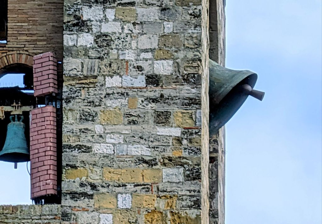
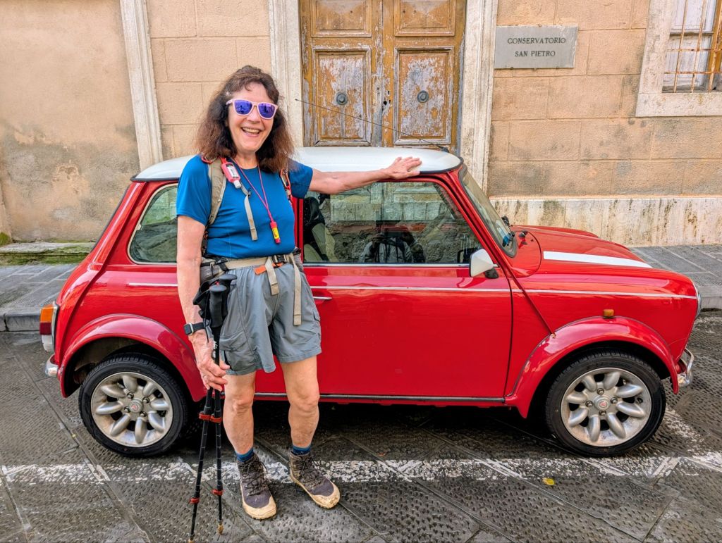
Porta Nova built in 1479We arrived at 12 Noon & the bells were ringingCity ViewGina has a Mini; but, wants an Original Mini just like this one
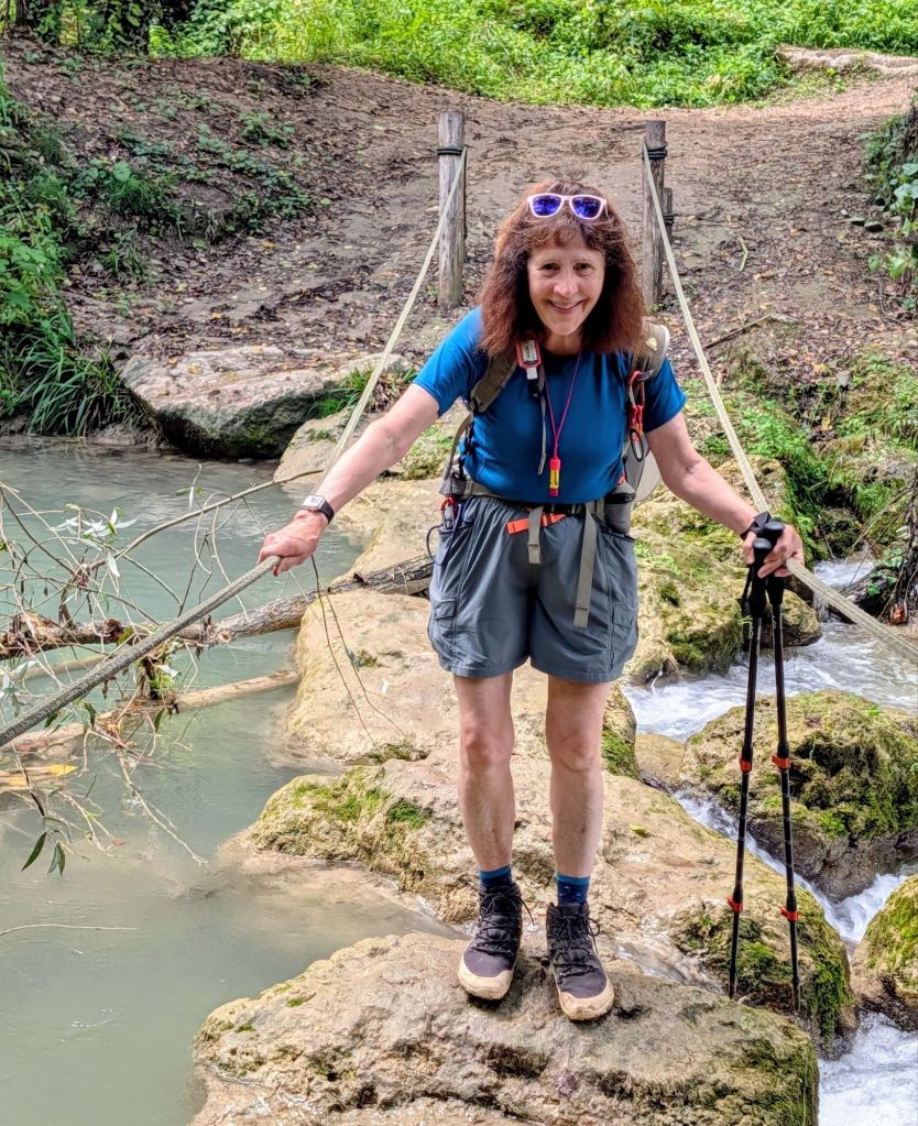
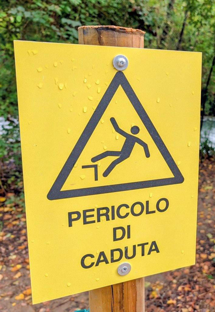
Ropes are in place along the Elsa River at the several, slippery, stepping stone crossings to help walkers.
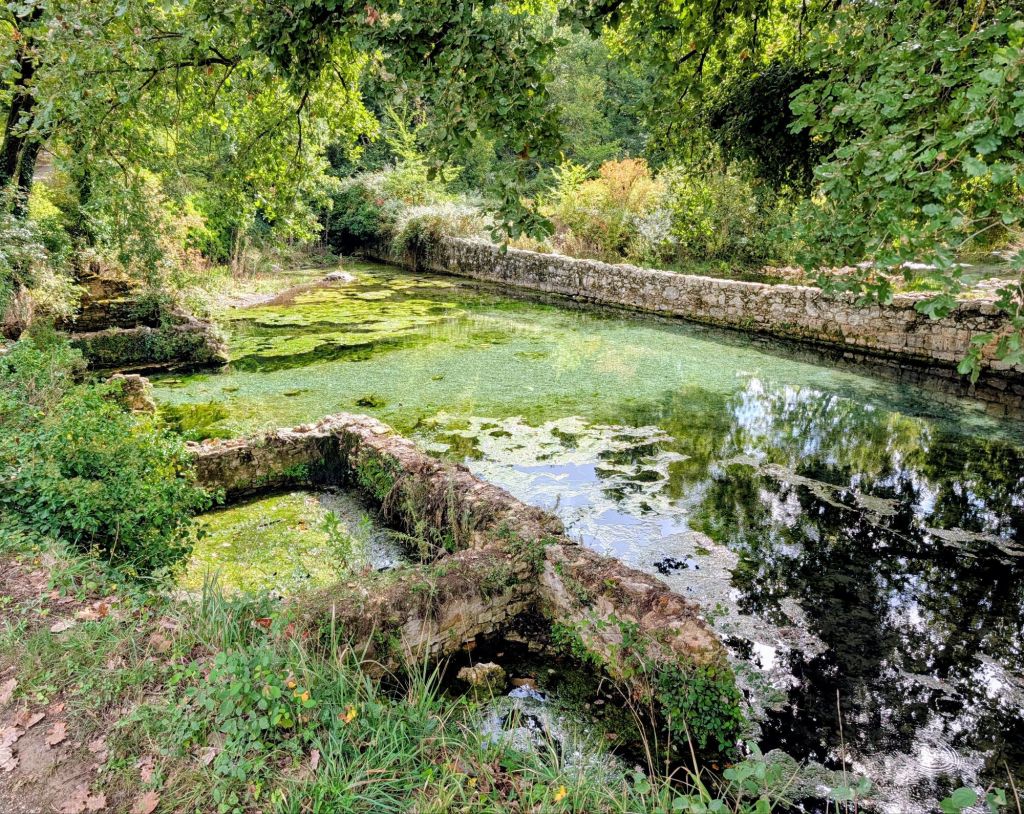
Old Roman Thermal Bath near Ponelle
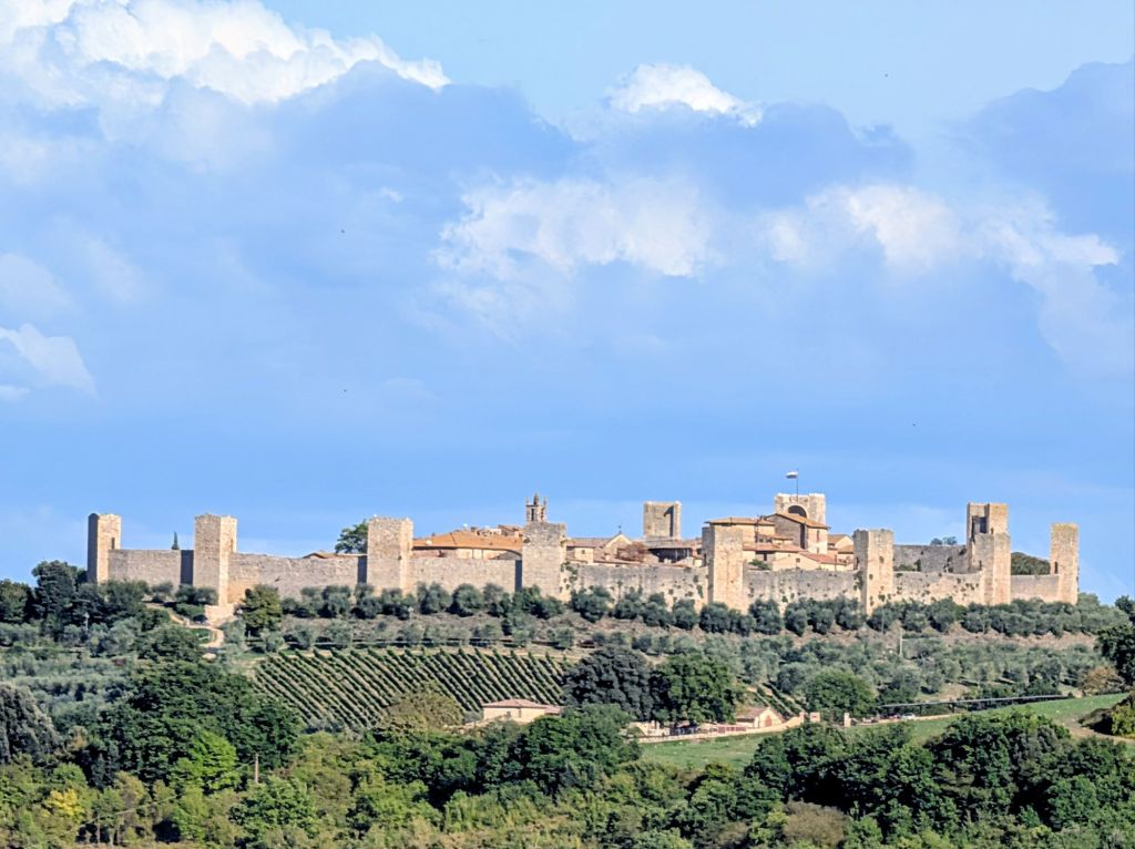
Monteriggioni rates among the most picturesque places on the Via Francigena. It is a perfectly preserved medieval fortress town perched alone atop a hill covered in vineyards & olive trees.
Today was a planned rest day during our hike; but, we still walked 4 miles in & around San Gimignano.
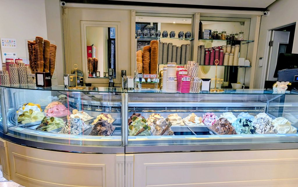
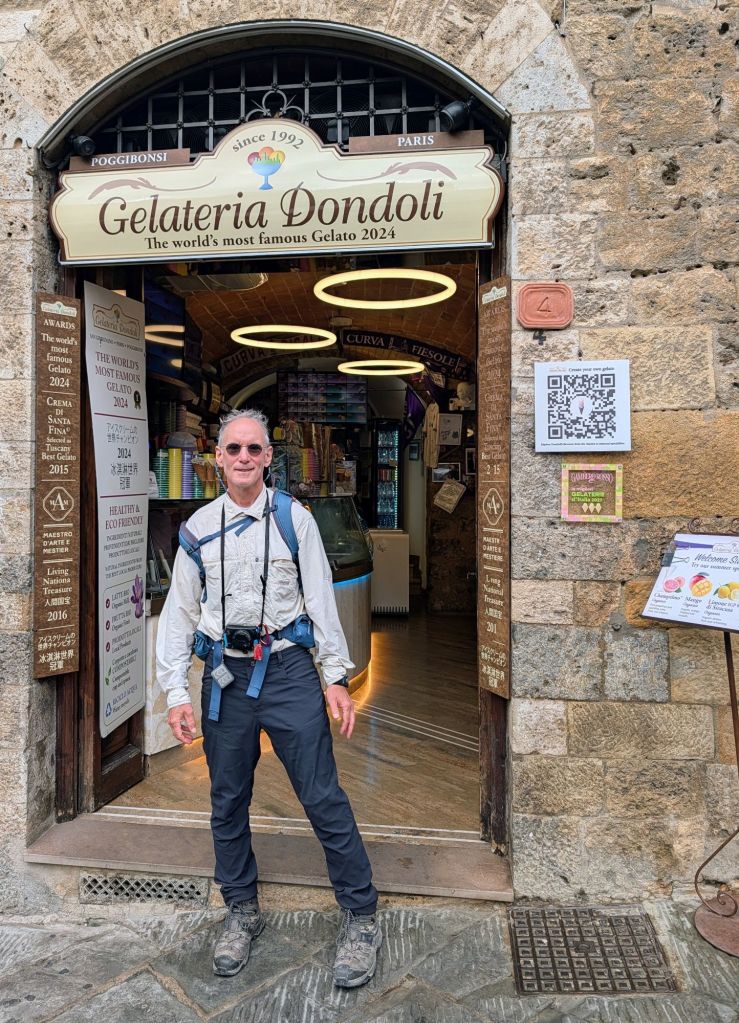
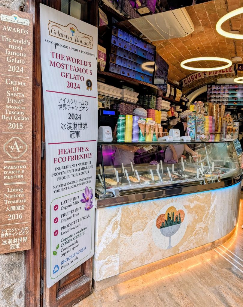
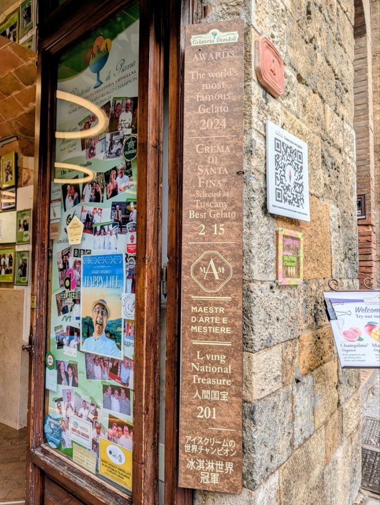
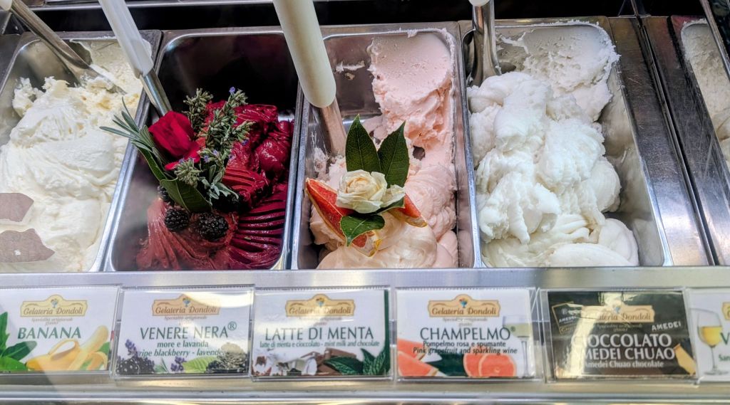
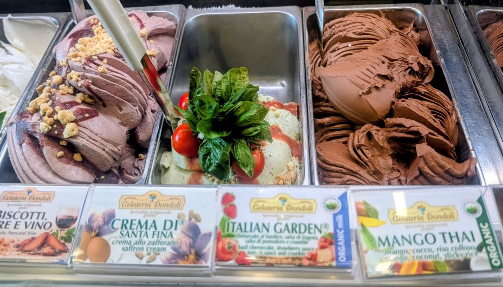
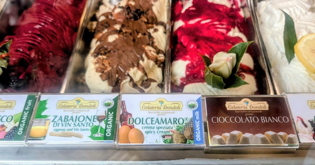
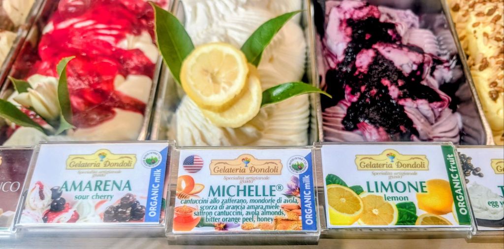
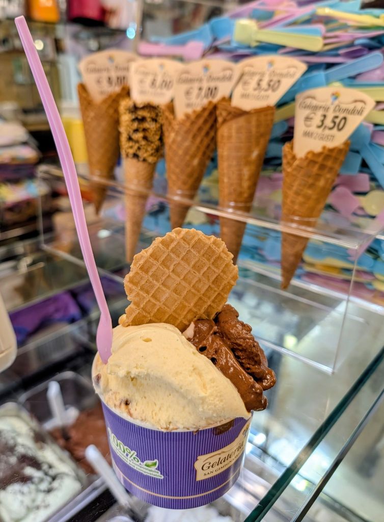
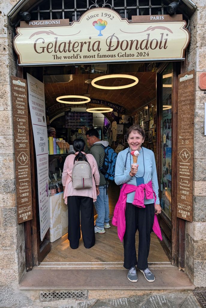
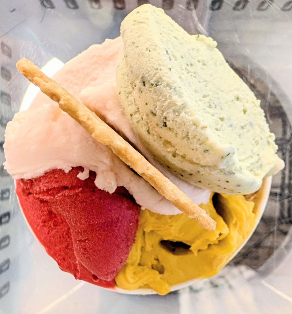
Today’s highlight was gelato…lots of gelato! We visited Gelateria Dondoli which is known as the world’s best gelateria.
Gelato originated 2,500 years ago in Ancient Rome when Romans would gather snow & ice in the mountains & mix it with fruit or other flavorings to make a sweet dessert. This, the word “gelato” comes from the Latin word “gelatus” which means “frozen”.
During the Middle Ages, Arab traders introduced “sharabat” (sherbet) to Sicily. This cultural exchange brought new techniques for preserving ice with different flavors & creating frozen drinks which was a precursor to gelato.
The real turning point for creating gelato as we know it came in the 16th Century during the Renaissance in Florence with the Medici family.
Catherine de Medici, future wife of King Henry II of France, worked with Florentine Bernardo Bountalenti to create a creamy dessert for a Medici family celebration. in 1565 they created a frozen dessert with milk, honey, egg yolk, & wine which is considered to be the first gelato.
After Catherine married Henry II bringing gelato with her to France, gelato mania started.
Gelato has more milk than ice cream & uses lower quantities of fat than ice cream. Because gelato has less air in the base, it is denser & packed with more flavor than ice cream.
Master gelato maker Sergio Dondoli’s gelato won the World Cup prize. He participated in the Gelato World Cup on the Italian team, which won the 2006/07 and 2008/09 competitions. Who knew there was a World Cup competition for gelato!?
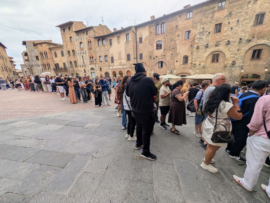
Located in San Gimignano’s Piazza della Cisterna, this small shop is very easy to find… just look for the perpetually long line. Here was what the line looked like when we arrived in town at 1PM yesterday.
Needless to say, we didn’t wait in line; but, we returned early today when it opened at 9AM before the hordes from all the tour buses from Florence & Sienna arrived.
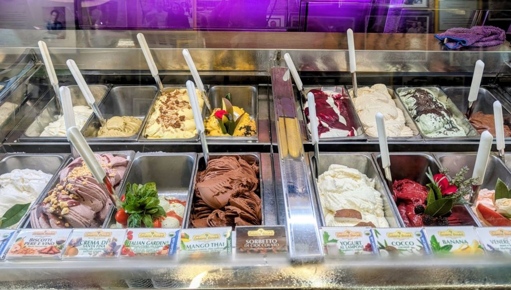
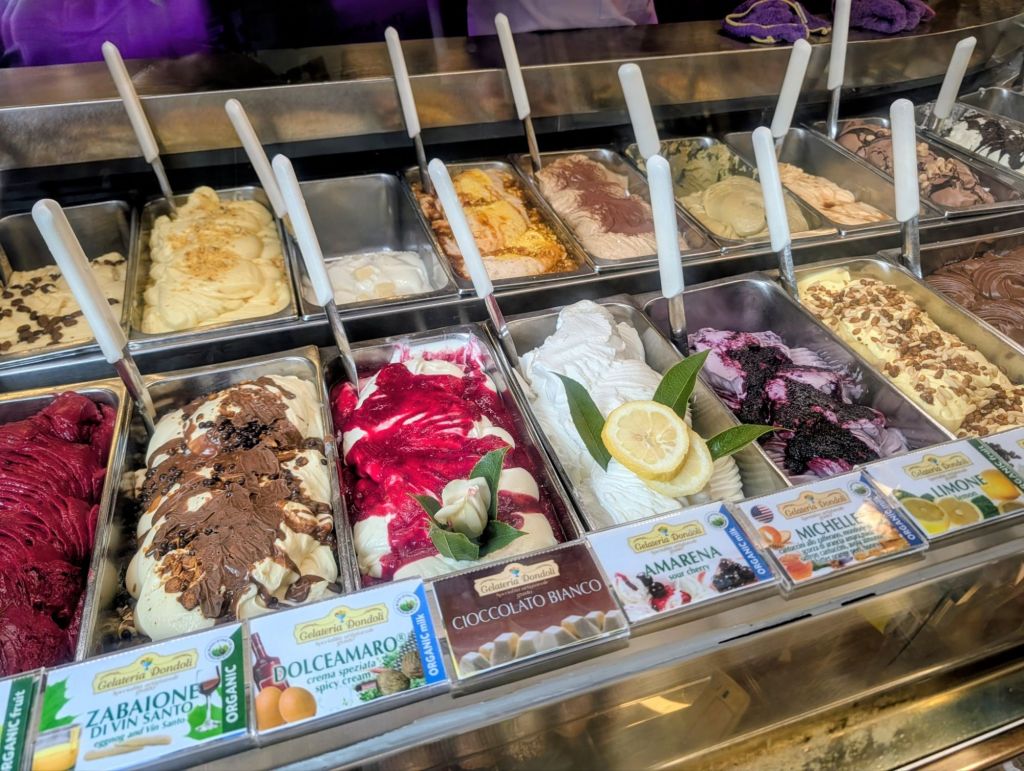
With so many tempting creations at this gelateria, we did some research to pick the award winning flavors before trying others.
Here are the top Signature & Award Winning flavors which we can attest lived up to their status:
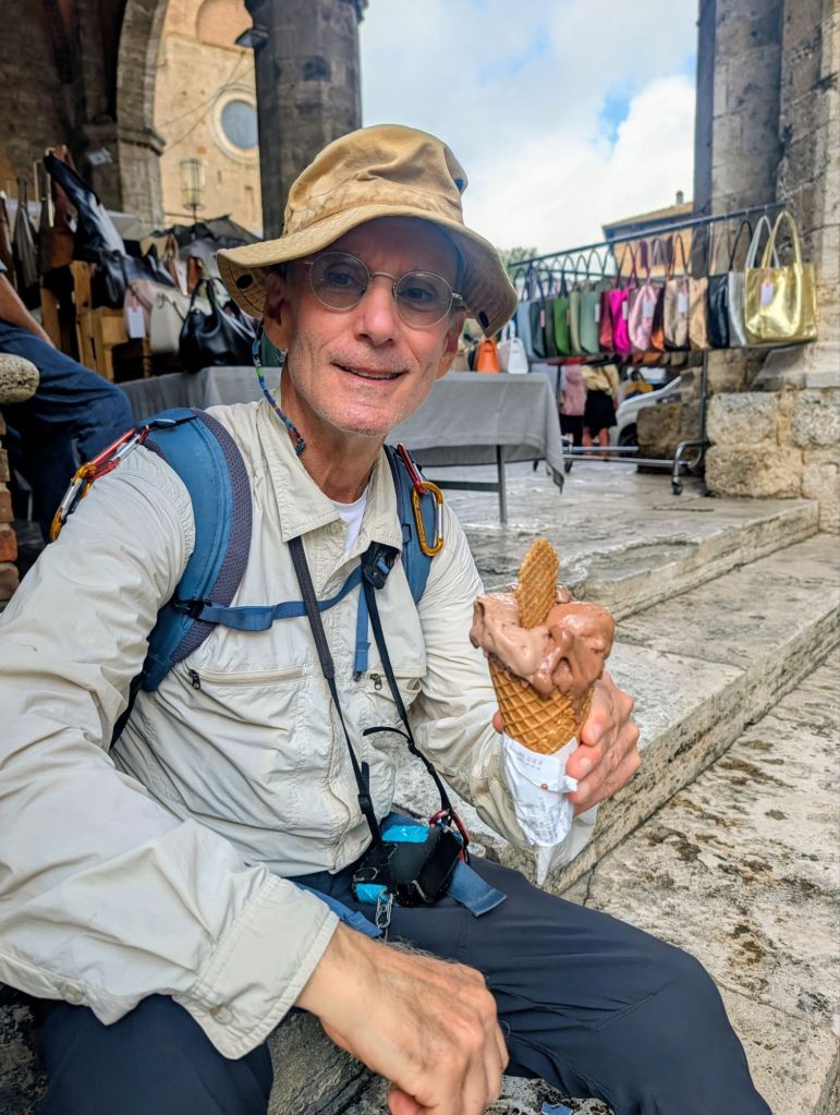
Amedi Chua- it was awarded the Oscar in London as the best chocolate in the world for five years. Having tasted it, I would give it an Oscar too!
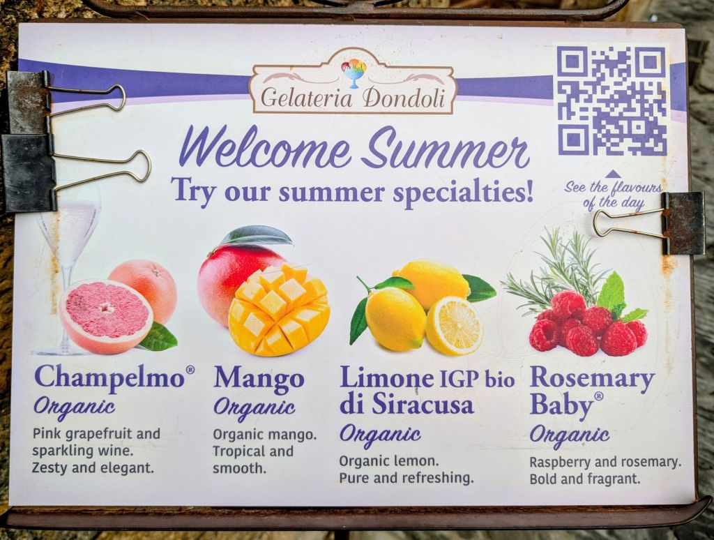
Champelmo: a refreshing, tangy sorbet made with pink grapefruit & sparkling Vernaccia wine.
Crema di Santa Fina: a rich cream infused with local organic saffron & pine nuts.
Dolceamaro: A sophisticated blend featuring blackberry & lavender honey.
Michelle: A unique combination of almonds, orange zest, honey, & saffron (Named after Michelle Obama).
Rosemary Baby: Vibrant mix of fresh raspberries & aromatic rosemary.
Besides Champelmo & Rosemary Baby, I also tried the Limone di Siracusa & Mango featured on their sign as their Summer Specialties flavors.
We went there several times & between us tried about half their flavors. Gina’s favorite flavor is Michelle followed by Rosemary Baby. Because I am a chocolate freak, my favorite flavor is Amedi Chua chocolate followed by Champelmo.
If you can’t make it here to taste this delicious gelato, then, if you are ever in Paris, you can visit its location in Paris in the Galleria Continua.
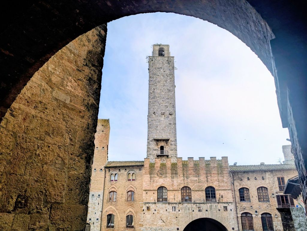
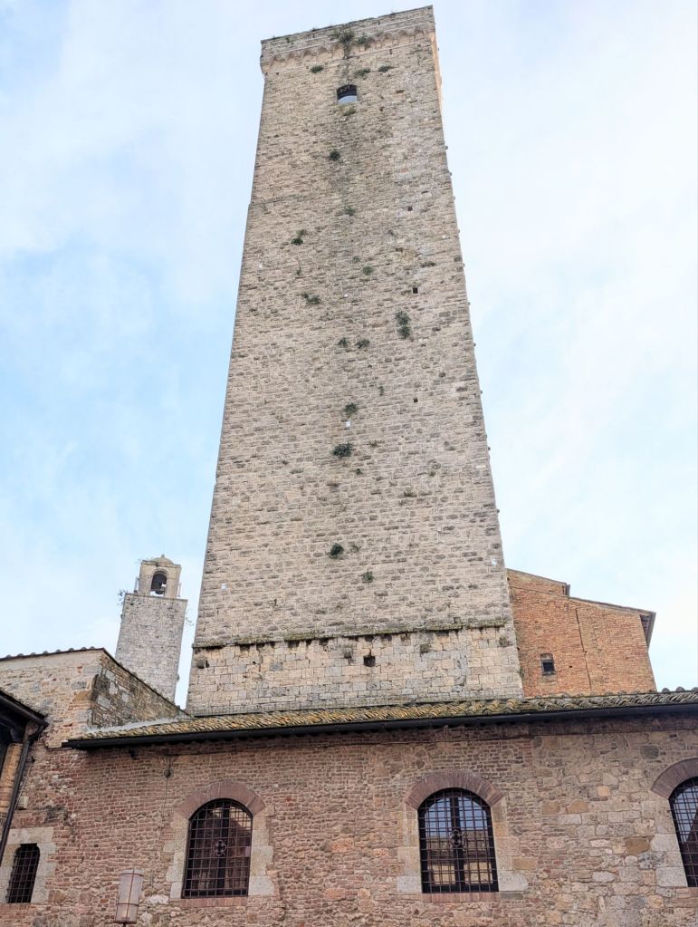
Along with multiple visits to the gelateria, we went up in the Torre Grossa which is the tallest tower in San Gimignano (hence its name the “Big Tower”).
Its construction started on 21 August 1300 & it was finished in 1311. It is 177 feet (54 metres) high. The tower’s walls are two meters thick and made of stone carved in regular bricks.
City authorities wanted to enrich San Gimignano with a tower that would become the city’s symbol as well as be functional. The tower fulfilled a military objective serving as an observation point & a civil use as a bell tower.
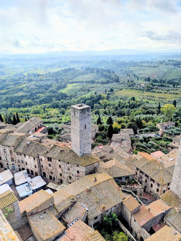
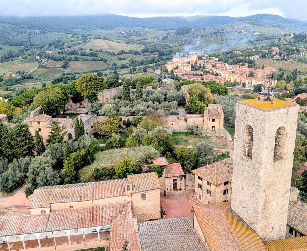
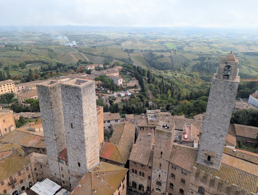
After climbing the tower’s 218 steps, we got a bird’s eye view over the city along with panoramic views of the beautiful Tuscan countryside.
After a nice break, we hit the trail again tomorrow.
13 Miles; 6.5 Hours on the trail. (Cumulative: 58.8 Miles hiked; 29.1 Hours on the trail)
Today’s terrain was up & down; but, mostly up. However, we hiked through the world famous Chianti vineyards to reach San Gimignano with its medieval towers which made the effort worthwhile.
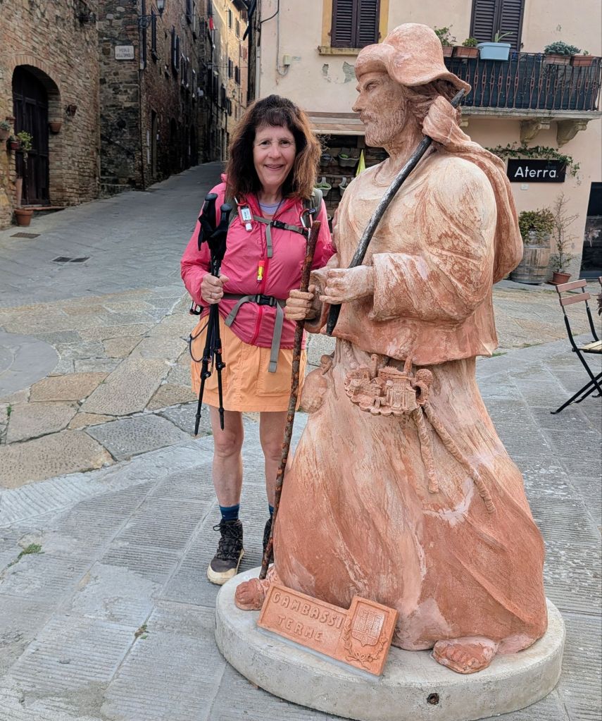
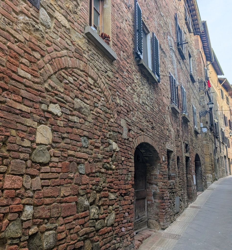
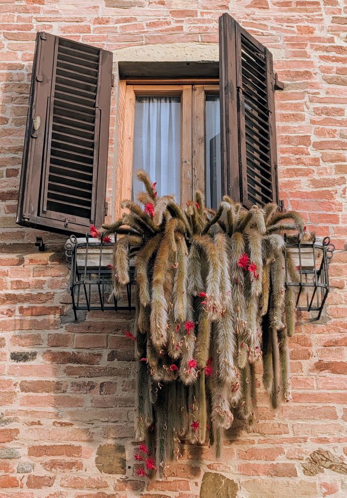
Scenes from leaving Gambassi Terme
We started walking shortly after the Tuscan sunrise.
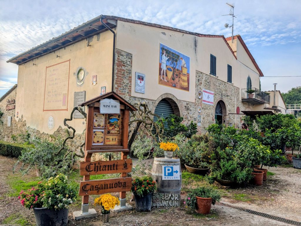
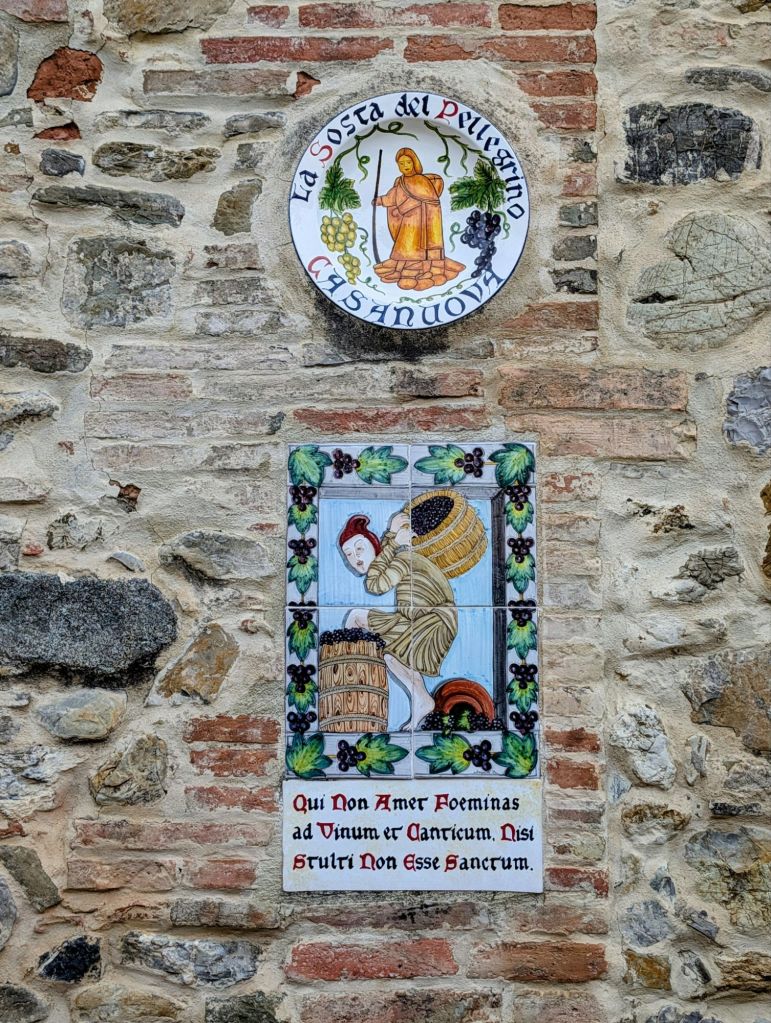
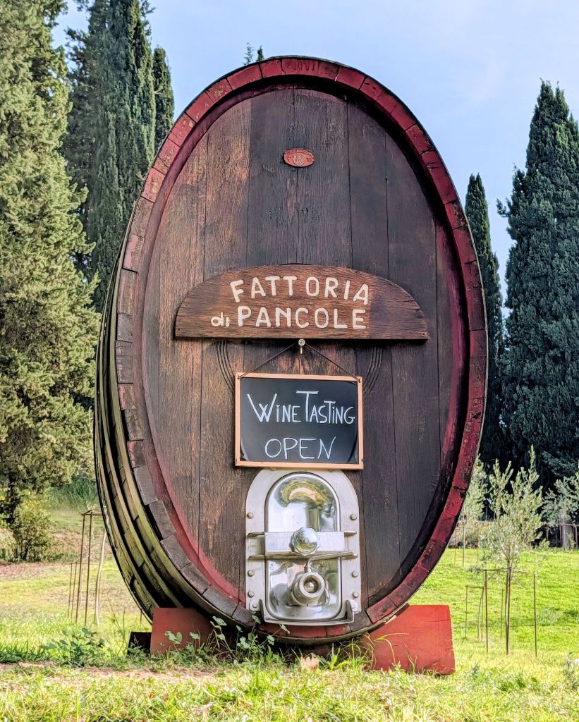
Shortly outside Gambassi Terme, we stopped at a winery continuously owned by the Casanova family since 1506.
Not too long down the trail we saw another winery
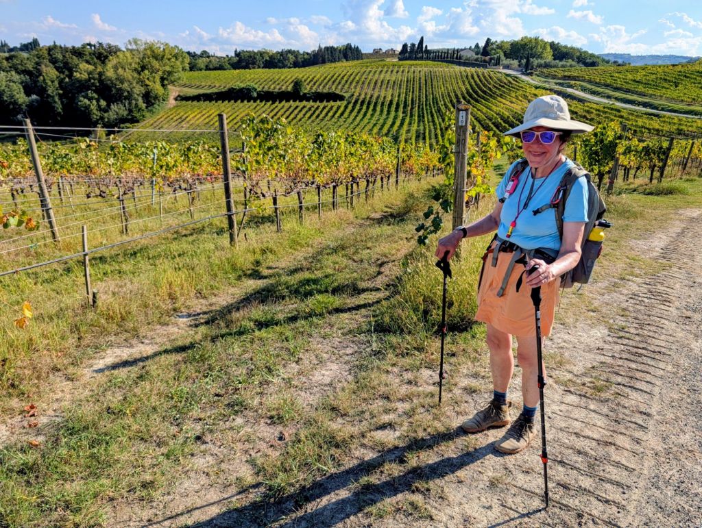
We continued walking through vineyards & saw several wineries offering free wine testing samples.
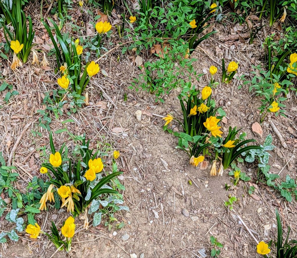
We saw these Winter Daffodil or Yellow Autumn Crocus along the trail.
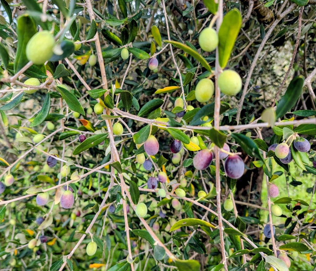
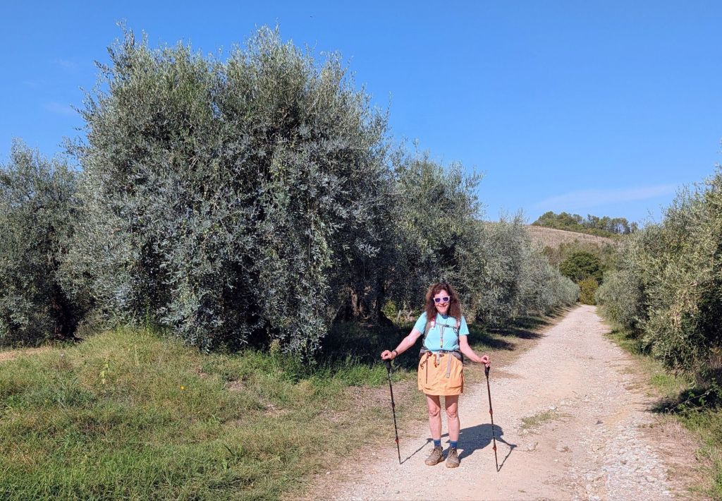
We also walked through many olive trees & could see them ripening before harvesting in late November & early December.
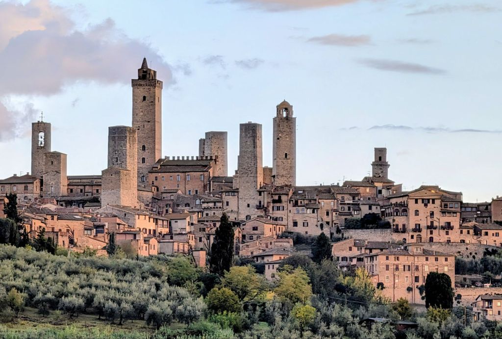
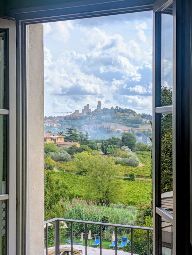
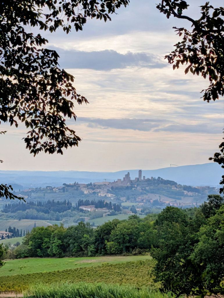
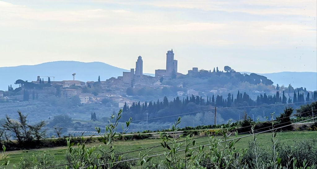
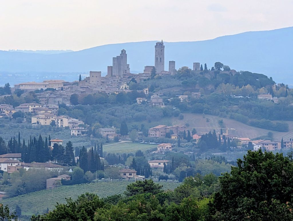
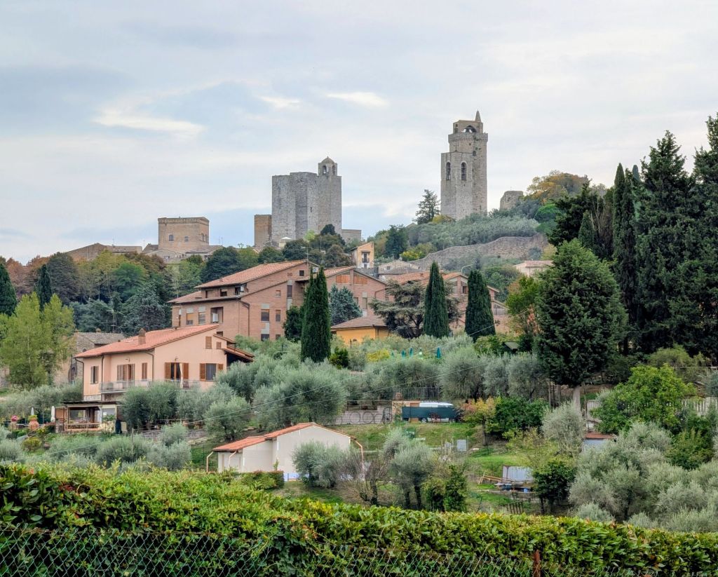
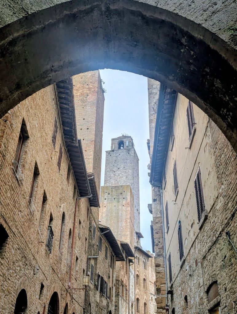
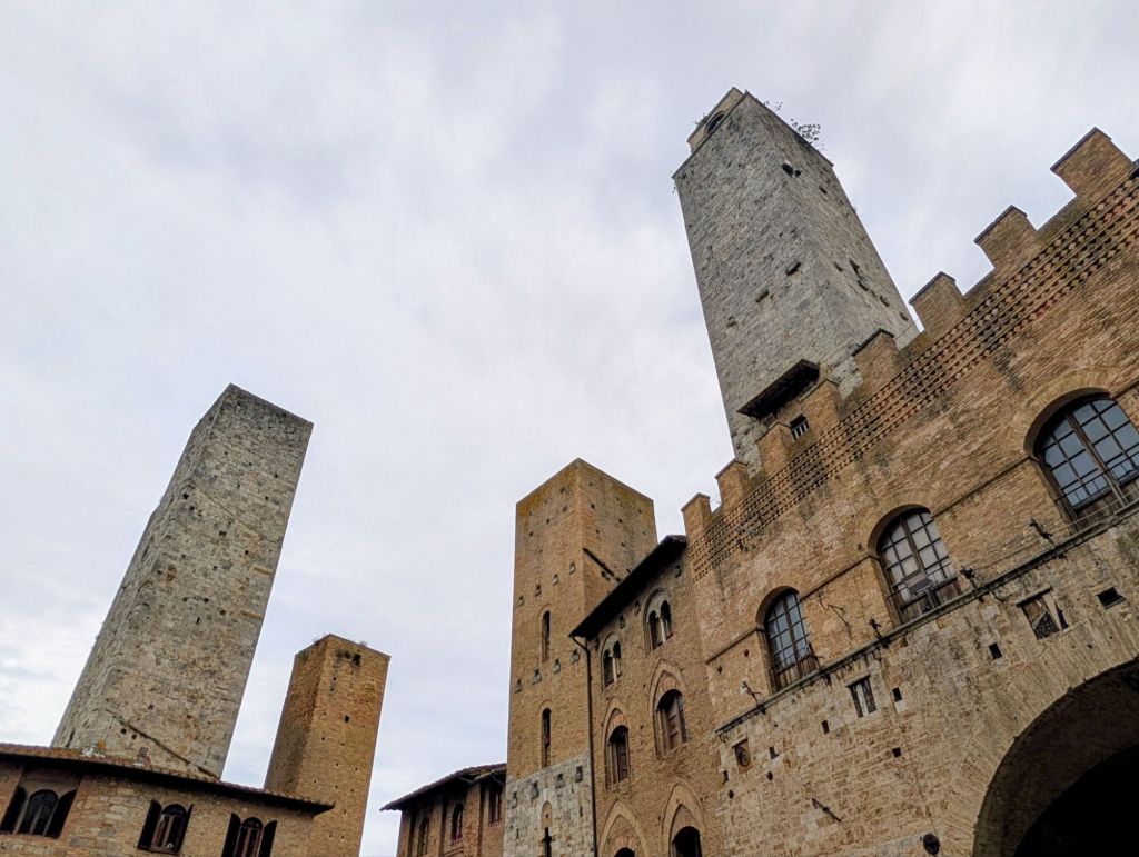
San Gimignano is the epitome of a Tuscan medieval hill town whose towers can be seen for miles in every direction.
Located about 25 miles from both Florence & Siena, it’s the region’s glamour girl as it is visually striking & perfectly preserved.
Here are various views as we approached the town
San Gimignano is named after St. Geminianus. However, its roots are traced back to the 3rd Century BC. Records first mention it in the 1st Century BC when a Roman nobleman named Silvio fled Rome & built a castle here.
The town bore his name until 450 AD when its name was changed to San Gimignano to honor Bishop Geminianus who intervened to spare the town from destruction by Attila the Hun’s armies.
In the Middle Ages, the town became an important stopping point along the Via Francigena & is listed by Archbishop Sigeric in his travel diary.
The town flourished until 1348, when the black plague killed half its population which led to its decline in economic & political importance.
During the height of its power, competing families built tower houses of increasingly greater heights.
Towards the end of the Medieval period, there were 72 tower houses with some up to 70 meters tall.
Today, only 14 magnificent towers remain standing creating the unmistakable skyline that defines San Gimignano.
Although a unique sight today, pointy skylines were the norm in Tuscany in the Middle Ages when feuding noble families like the Capulets & the Montagues from “Romeo & Juliet” fame ran the hill towns.
Each family had its own private army that would periodically battle things out under the protection from its respective family towers.
While some towers were built as a refuge against attackers, others were empty, chimney-like structures built only to boost noble egos.
In the 14th Century, like other hill towns, San Gimignano fell under Florence’s control.
The Florentines usually asserted their power over the local nobles by ordering them to lop off their towers.
But, for some unknown reason, some of San Gimignano’s original skyline was allowed to remain intact.
Torre Grossa is the highest tower in the city at 177 feet tall.
The Devil’s Tower has a curious legend: the owner who returned from a trip noticed with great surprise that the tower was taller than he had left it which was an occurrence immediately attributed to the Devil’s intervention.
The Torre Rognosa, the Town Hall tower, is the oldest tower & was for centuries the tallest tower in town.
Nearby the Town Hall tower is a pair of towers that have stood side by side for more than 700 years.
These twins are empty shells built by the Salvucci family simply to show off.
At the time they were built, no one was allowed to build a vanity tower higher than the old City Hall Tower which was 170 feet tall.
So, the Salvuccis built two 130 feet high towers totaling 260 feet of stony ego trip
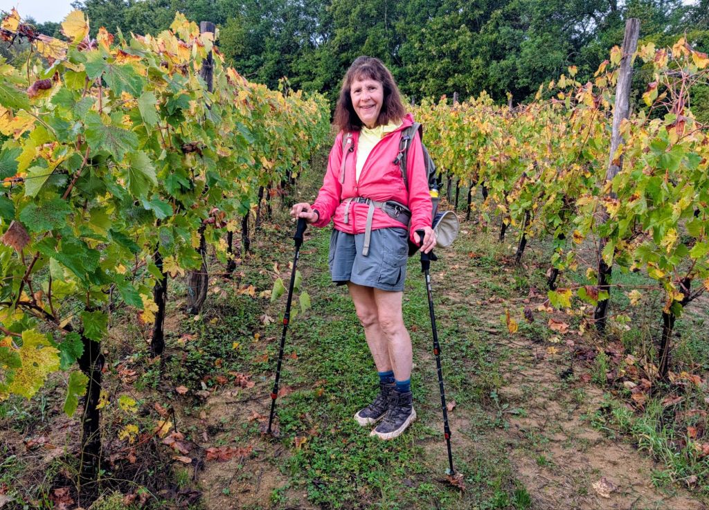
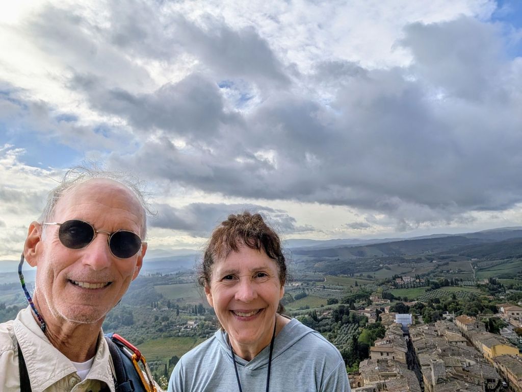
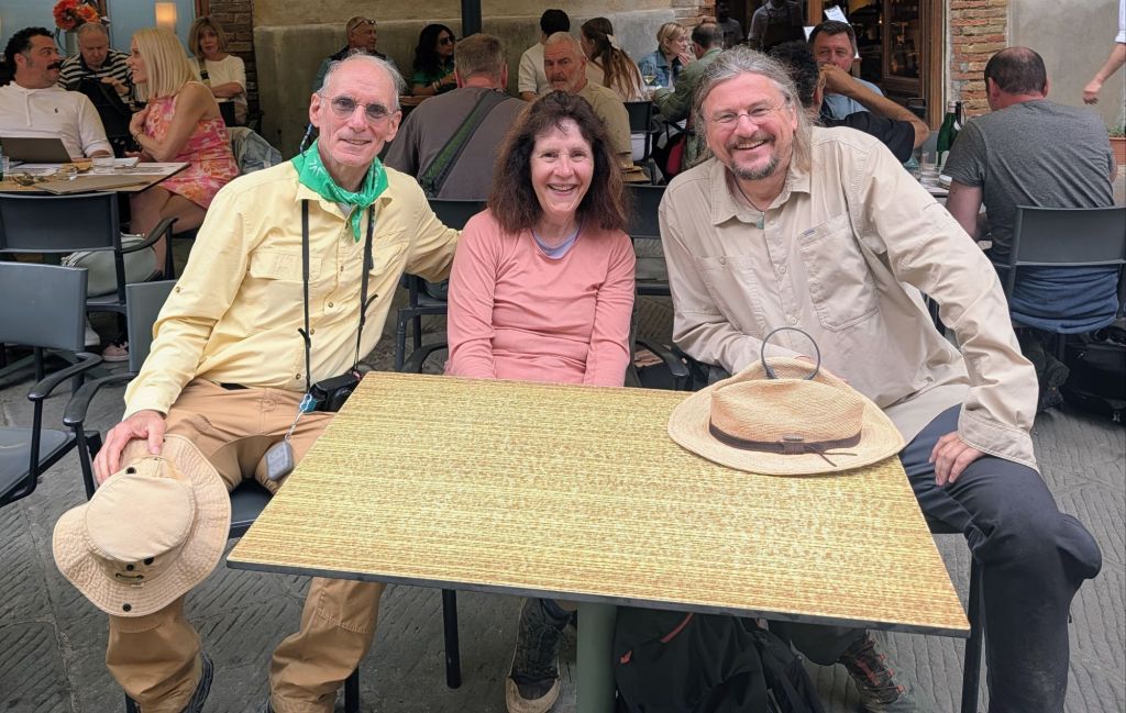
Here we are with our new trail friend Stefan from Hannover, Germany, celebrating having a nice day on the trail.
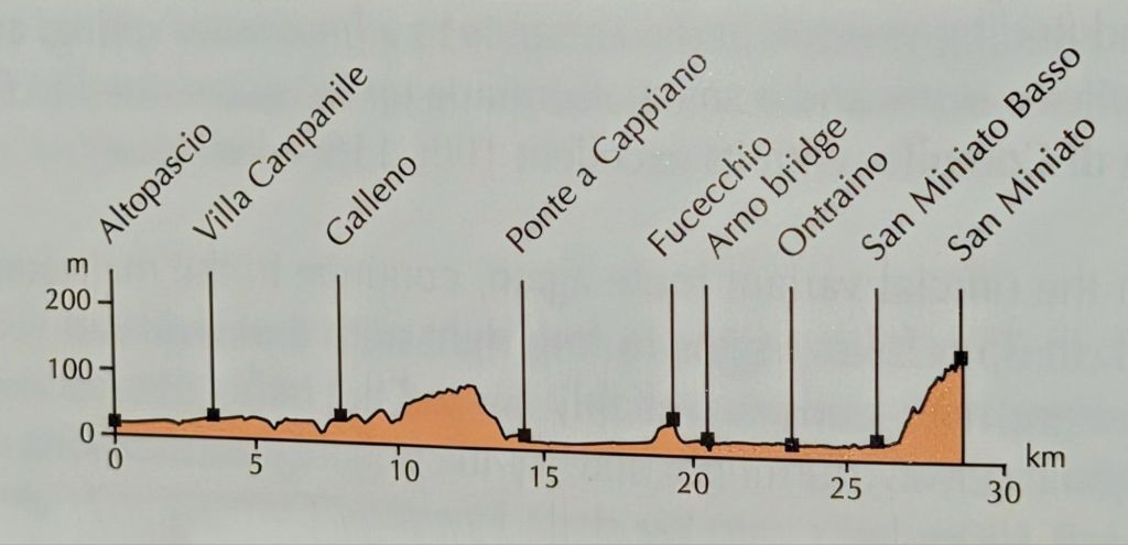
16.5 Miles; 8.6 Hours on the trail. (Cumulative: 45.8 Miles hiked; 22.6 Hours on the trail)
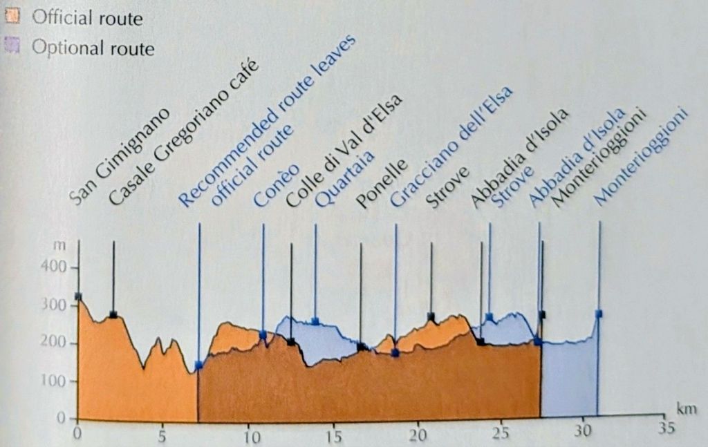
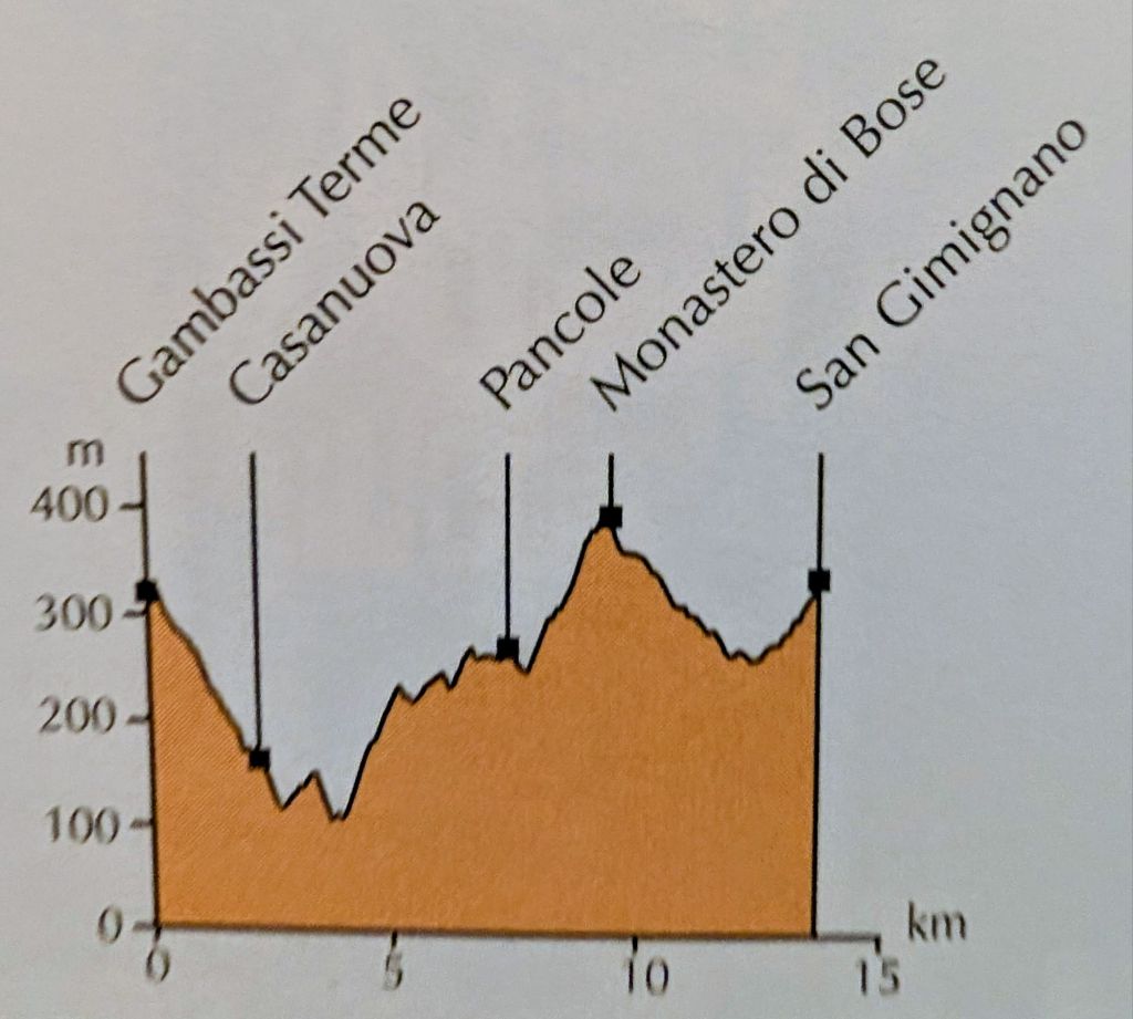
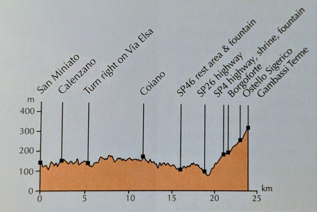
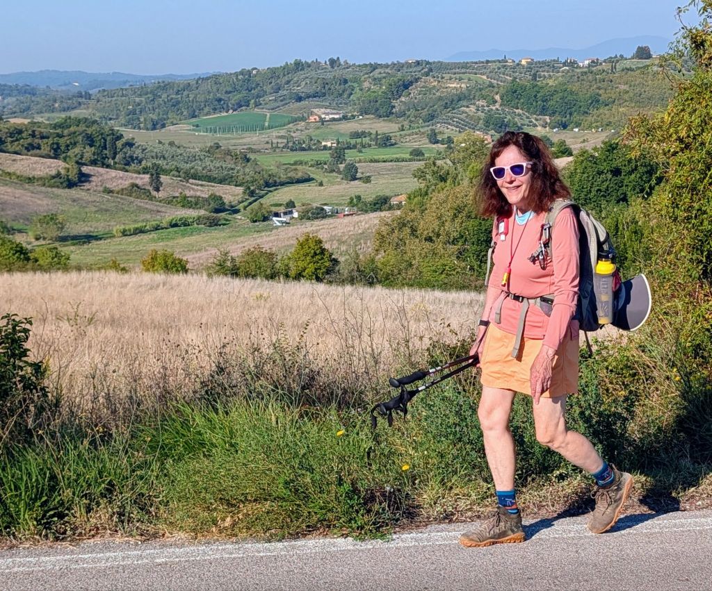
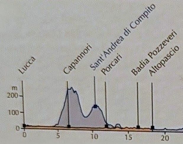
Today’s walk to Gambassi Terme was much more challenging than yesterday’s because the terrain was hilly & somewhat mountainous, so there was a lot of up & down on the route as you can see in the route profile & the weather was hotter.
Upon leaving San Miniato, we saw more of the city.
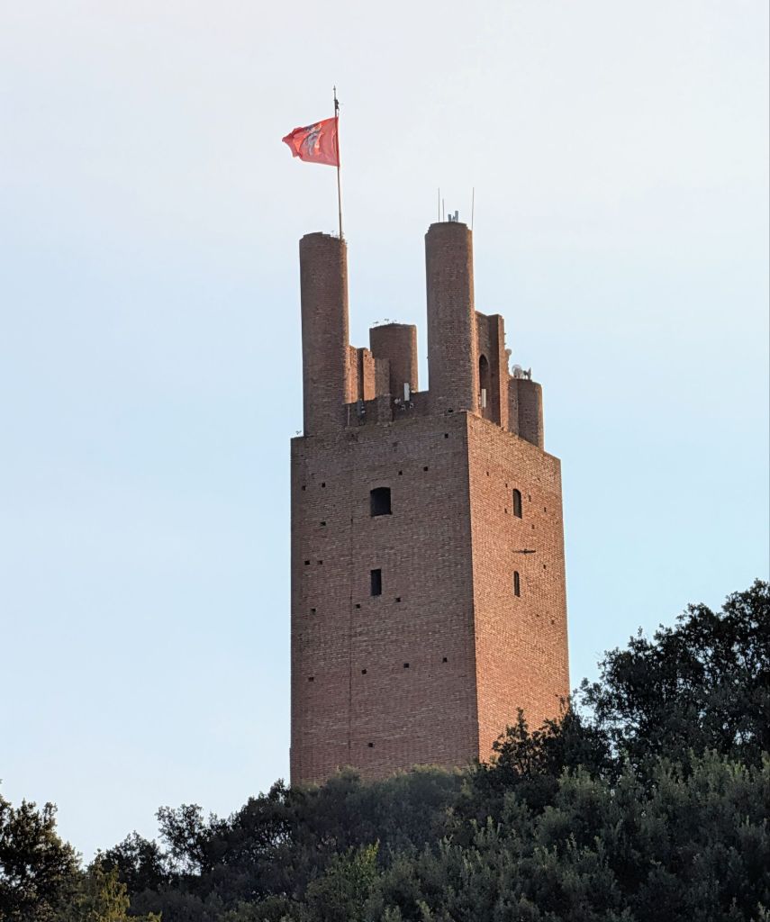
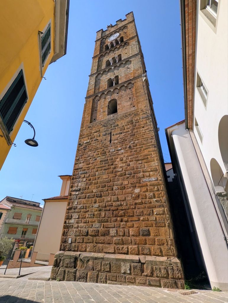
San Miniato Tower
In 1218, Frederick II of Swabia made San Miniato a tax collection point for central Italy.
To protect his money, between 1217 – 1221, he built the San Miniato tower which completed the Rocca (Fortress) di Federico II defenses & serves as the town’s symbol.
The tower was destroyed during World War II; but, it was meticulously rebuilt in 1956.
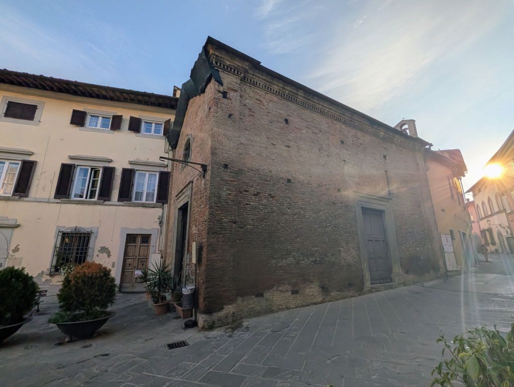
Oratory of Saints Sebastian and Rocco
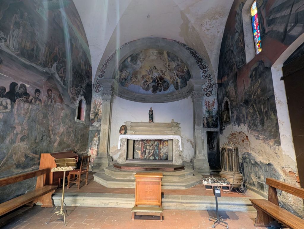
The Oratorio dei Santi Sebastiano e Rocco in San Miniato is a small, terracotta-clad church. It was built in 1524 during a plague epidemic & dedicated to Saint Sebastian who is the patron saint against the plague. In 1718, a relic from Saint Rocca (the patron saint of pilgrims) was added to the church
Paintings detached from the oratory depicting angels with symbols of the Passion are preserved in the bishop’s seminary, so the interior decoration was redone by various contemporary artists from San Miniato.
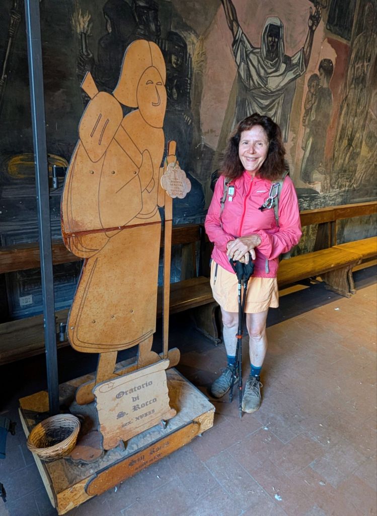
New Interior Gina with a pilgrim display inside the oratory
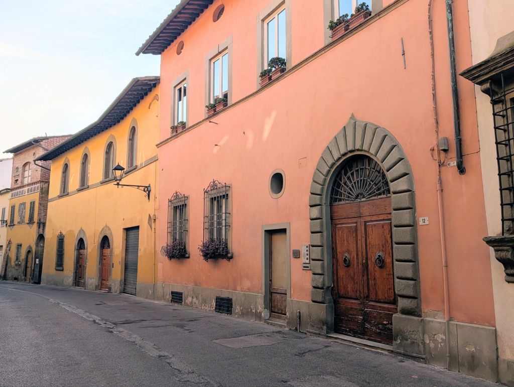
Other morning scenes in San Miniato
Leaving San Miniato
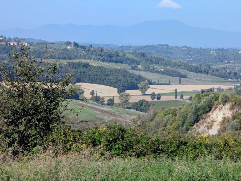
Along the way we saw some beautiful Tuscany landscape
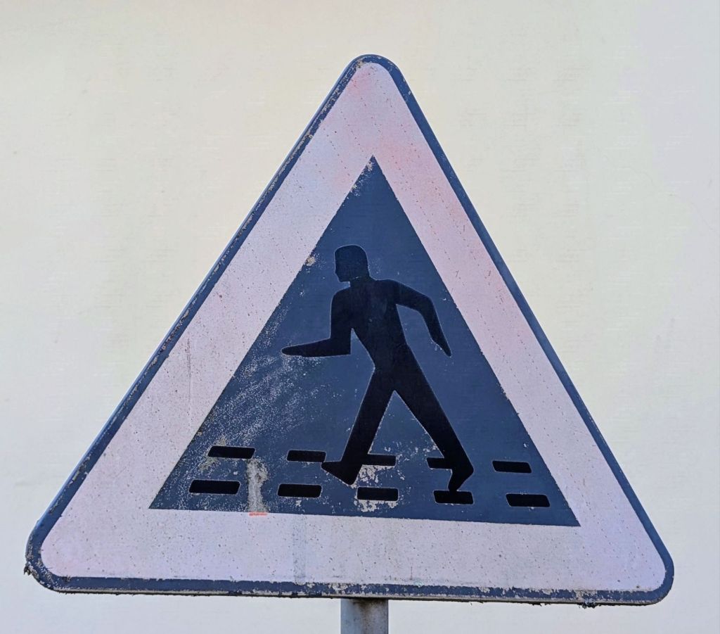
We also saw this “Walk like an Egyptian” pedestrian crossing signThe Parish Church of Saints Peter & Paul in Coiano
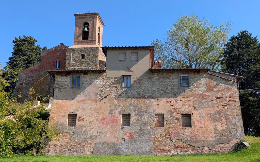
We followed in the Archbishop of Canterbury Sigeric’s footsteps to the Parish Church of Saints Peter & Paul in Coiano. As early as 990 AD, he mentioned stopping at this parish. Parts of the current church date from the 12th Century.
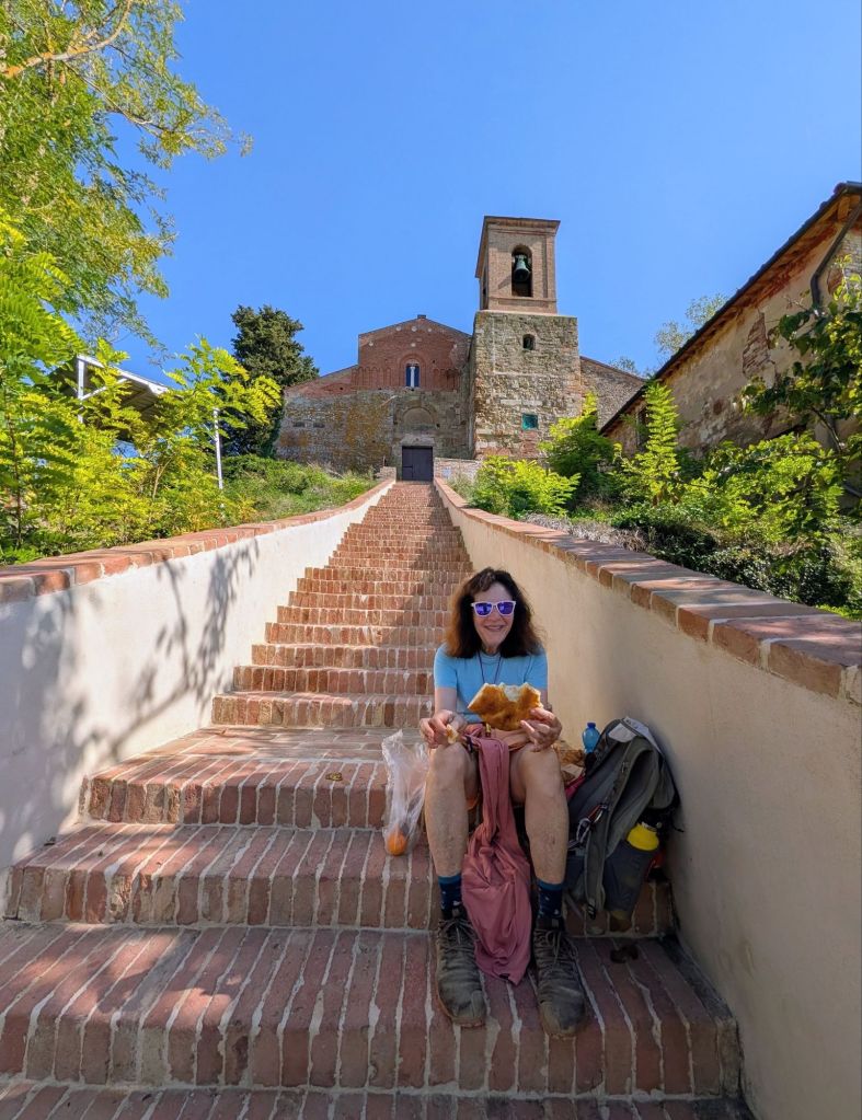
It was lunch time when we arrived at this church, so we sat in the shade on its steep stone steps to eat.
Lunch in Coiano
In the afternoon, we saw wide open spaces, olive trees, & vineyards
Wide Open SpacesOlive Trees Vineyards
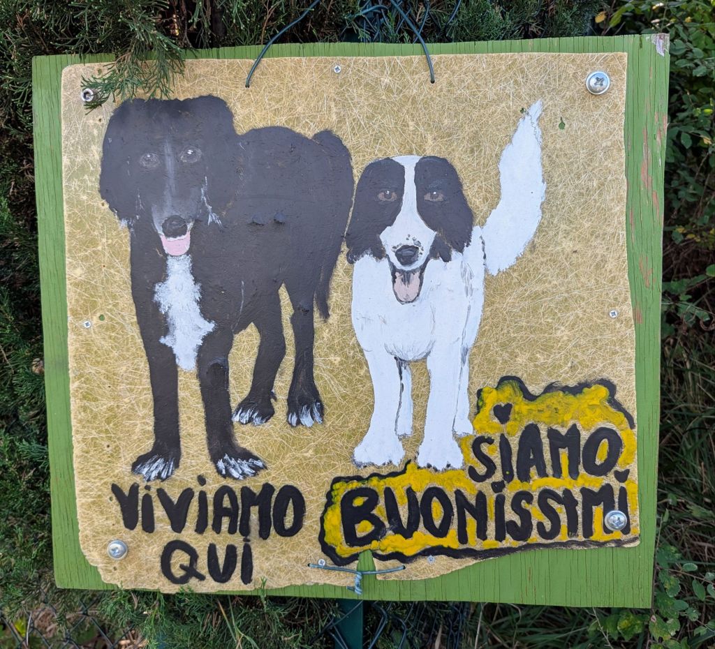
We also saw this sign at a house
We Live Here We are Very Good
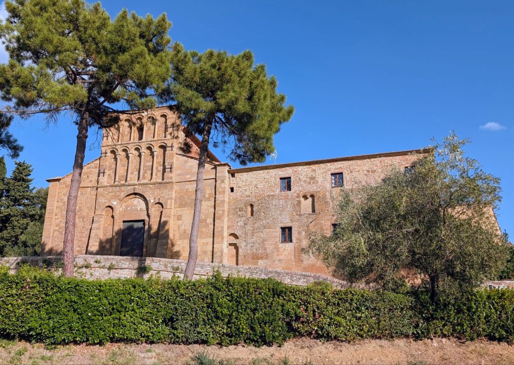
The Parish Church of Santa Maria Assunta in Chianni is among the most important places of worship in the area.
This church is mentioned in Sigeric’s diary as a stop on his return journey from Rome to England.
The origins of this parish church come from 11th Century documents that confirm a cloister existed here as well as a primitive church was constructed on the site.
The church as we see it today dates back to around 1200.
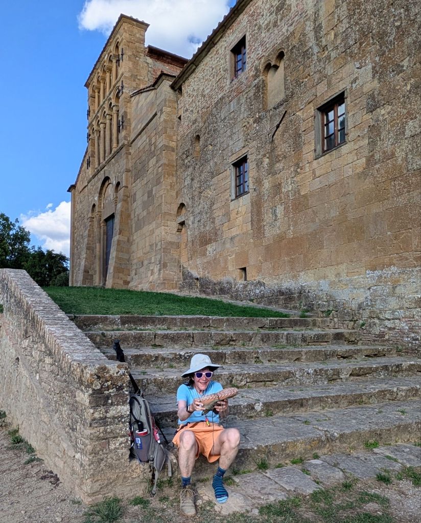
Gina got a rock in her shoe & used the church steps to sit down to remove it.
Out, Out, Darn Rock
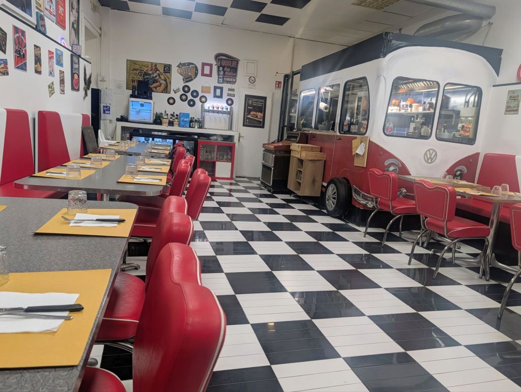
For dinner, we had a calzone & a pizza at the Happy Days restaurant which has a lot of retro stuff from America.
17.5 Miles hiked; 8.5 Hours on the trail. (Cumulative: 29.3 Miles hiked; 14 Hours on the trail)
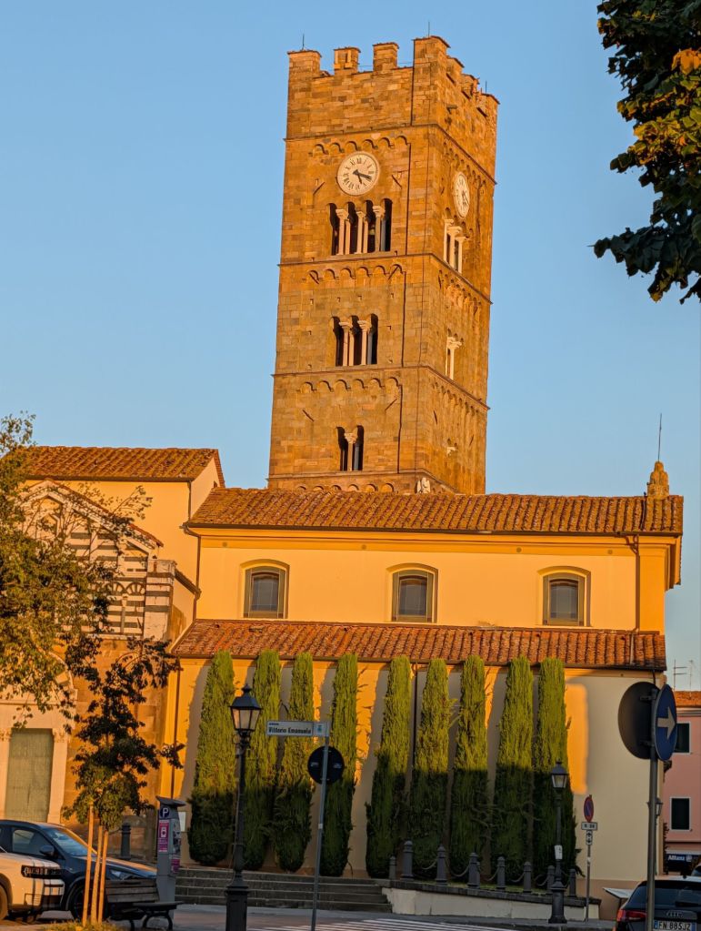
Located next to the church, Altopascio’s impressive belltower from Romanesque origin completed in 1280 still retains its medieval semblance to a fortress.
Altopascio Belltower
Still ringing in the tower is the 14th Century bell named “La Smarrita” which means “The Lost One” because it was rung at sunset for its sound to direct pilgrims to safety inside the town’s city walls before it was dark. That tradition continues as La Smarrita is still rung every night before dark.
Today the trail began to enter into Tuscany’s heart.
Early in the walk at Galleno, we walked on the original paving stones from the ancient Via Francigena.
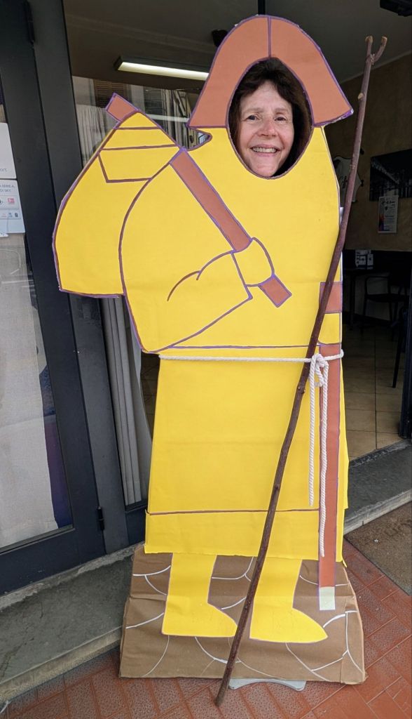
Old Via Francigena roadGina posing as a pilgrim
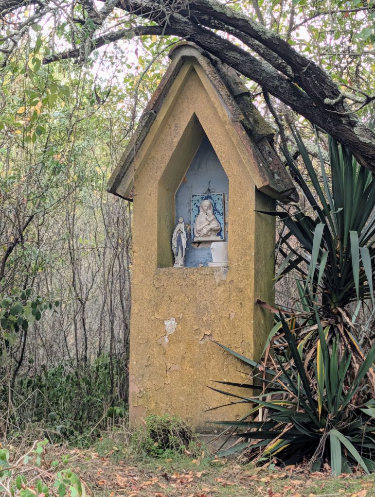
Saw this memorial along the trail
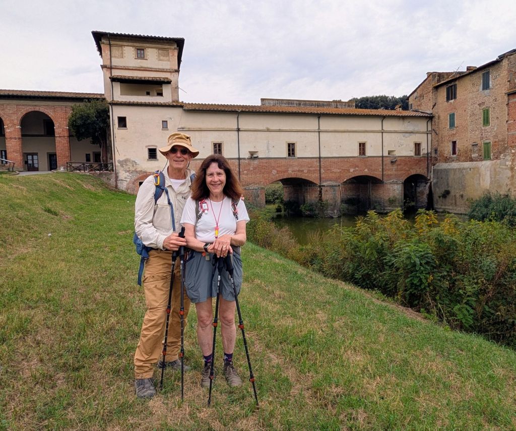
At Ponte a Cappiano there is a fortified 16th Century Medici bridge over the canal.
Fortified 17th Century Bridge still used by vehicles & pedestrians
The bridge that stands over the Usciana River today in Cappiano is the monumental bridge that was built in the mid -16th Century. One of the two towers on the Medici bridge may have originally belonged to the fortified 13th Century bridge at Cappiano that Leonardo drew on his famous map of the Arno Valley RL 12685 which is now in the Windsor Castle collection.
From this bridge, the trail followed the levee along the Usciana Canal before going through some ancient marshes.
Gina walking on the levee
The trail climbed to the old town center in Fucecchio.
View from Fucecchio
Fucecchio was founded around the 10th Century. It is equidistant from some major cities (Lucca, Pisa, & Florence) & is the intersection for important roads such as the Via Franciscana & waterways.
Fucecchio street
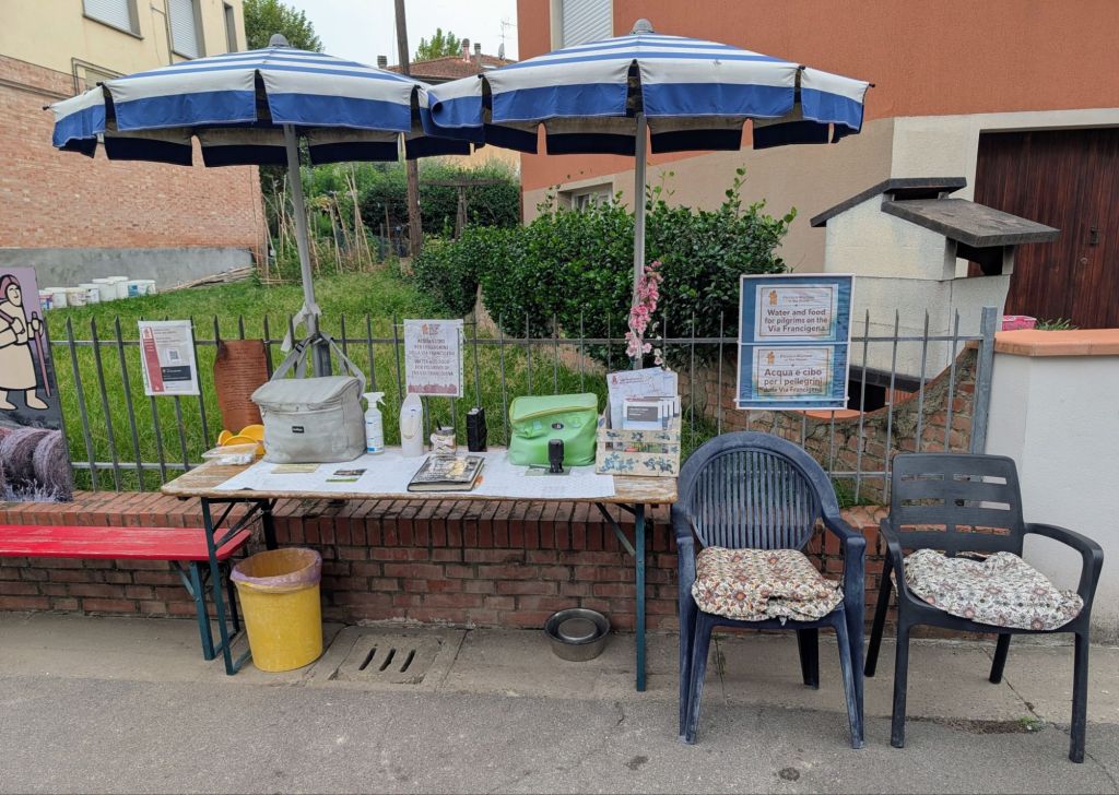
Outside San Miniato we came across this volunteer aid station for pilgrims.
Volunteer Aid Station
San Miniato is perched on a hill located a short distance from the River Arno & halfway between Florence & Pisa, both of whom fought over it for centuries.
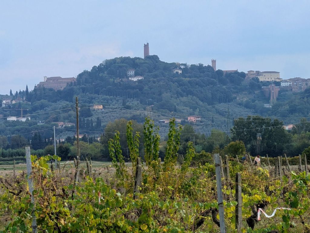
San Miniato in the distance
San Miniato is among the stops marked by Sigeric on his return journey from Canterbury, so it became one of the Via Francigena’s historic stages.
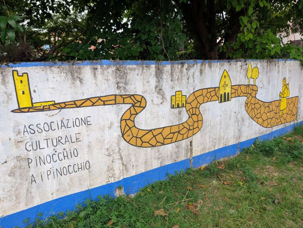
Saw this art work on a wall on the way into San Miniato.
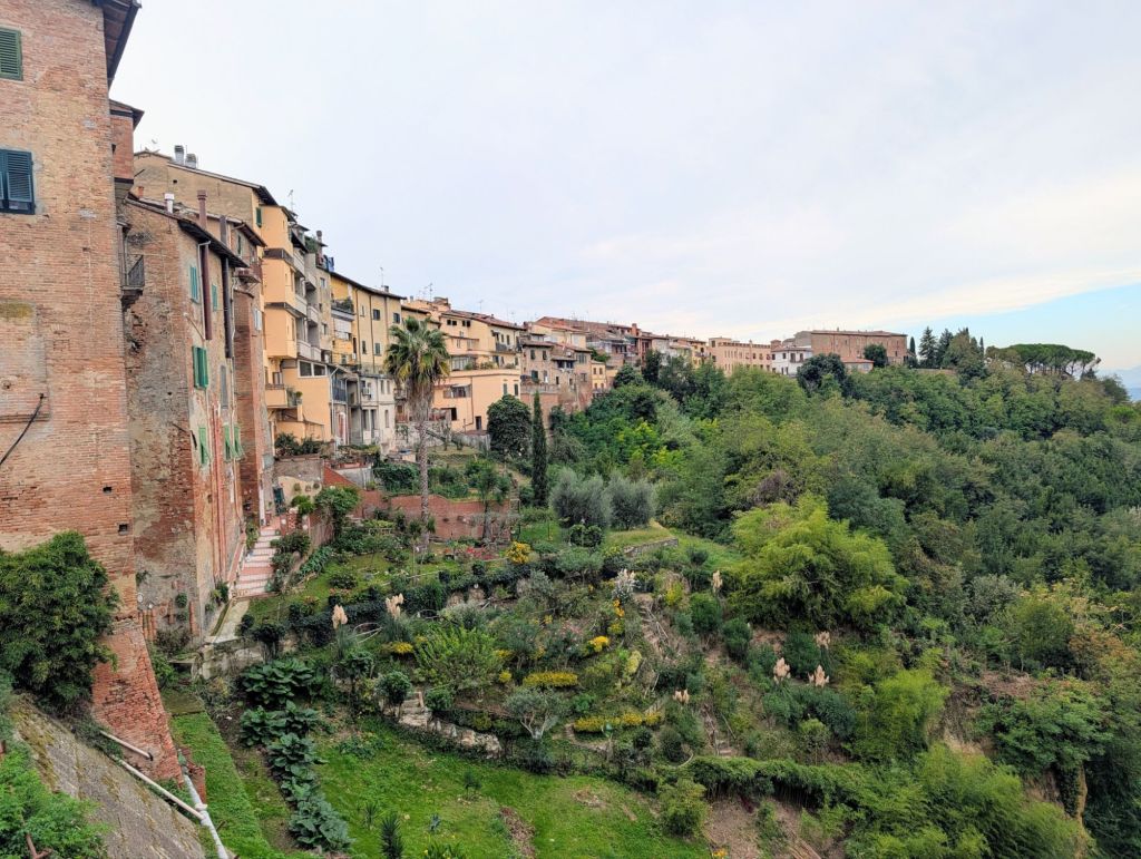
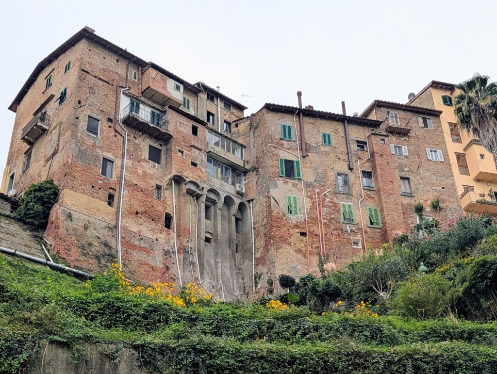
San Miniato on the hillNotice the long drop plumbing
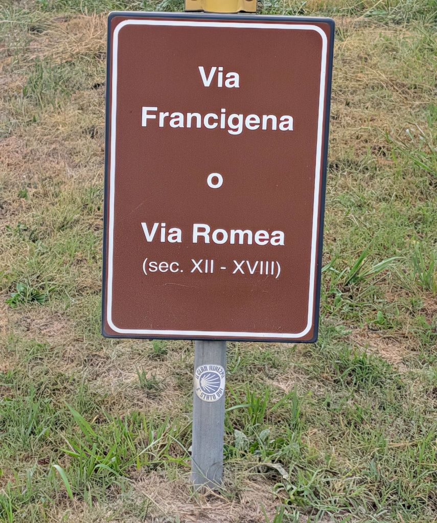
The Via Francigena which means “The Road to France,” was the main communication route between Rome & the imperial court at Aachen during the High Middle Ages.
Its importance as a pilgrimage & trade route outlived the Carolingians & around the year 1000, the Via Francigena was without a question, the preferred route for German emperors, pilgrims, & merchants seeking their riches and/or personal benefits in Italy.
It was also used by the Crusaders who traveled beyond Rome to embark for the Holy Land.
The first to travel the route to Rome from Northern Europe was an English monk named Sigeric who was the Archbishop of Canterbury in distant Britain.
In the year 990, Sigeric crossed the English Channel determined to receive the Pope’s blessing in Rome.
After many miles & hardships, he reached the Holy City using the ancient roads built in centuries prior by the Romans.
Perhaps concerned for future pilgrims’ well-being, Sigeric wrote a book called the “Itinerarium” which detailed the stages & resting places (mansio) along the Via Francigena.
Between the 9th – 19th Centuries, no other road connected the powerful Papal States with the Alps’ western passes.
Both the Enlightenment & industrial progress spread along the Via Francigena until the railway finally eclipsed its importance.
The fact that Sigeric considered a “pilgrims guide” useful meant that many people were venturing to Rome to receive the Pope’s blessings.
Sigeric’s Itinerarium still marks pilgrims’ route through Italy as they discover villages, towns, & cities that other travelers trod more than a thousand years ago.
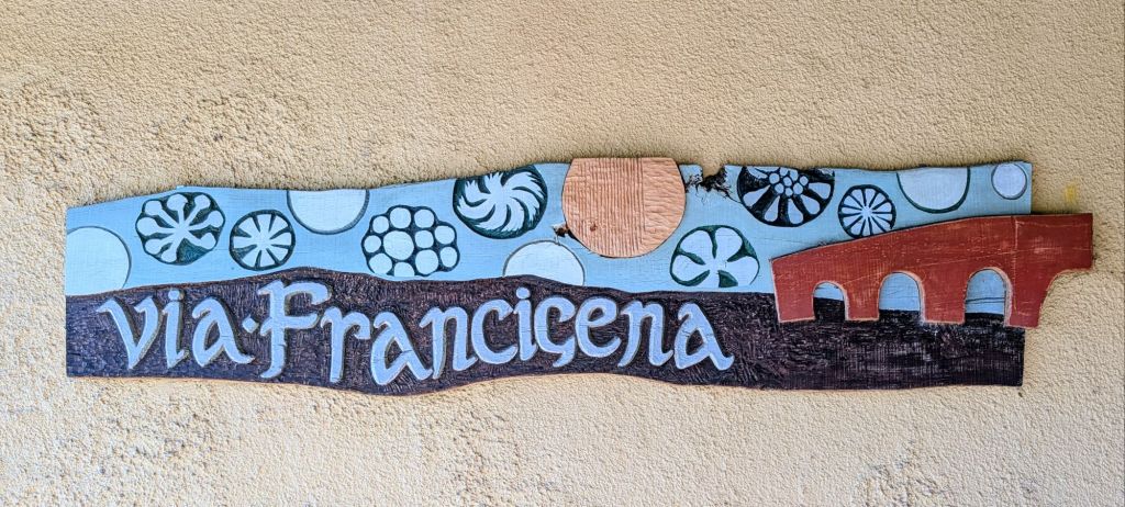
Our Camino Francigena started in Lucca.
In the Middle Ages, Lucca was a prosperous city known for producing fine silk.
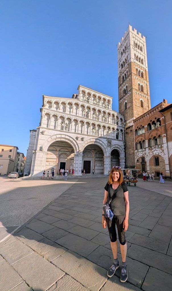
Lucca has always attracted pilgrims from all over Europe who came to venerate the relic of “The Holy Face” which is the famous wooden crucifix kept in the Cathedral of San Martino.
Cathedral of San Martino & its Belltower
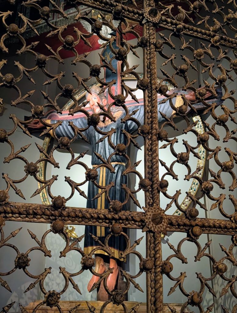
The Volto Santo (Holy Face) is a wooden crucifix said to be carved by Nicodemus shortly after Christ’s resurrection.
As the legend goes, Nicodemus, who was an early Christian, carved Christ’s body; but, fell asleep before carving his face.
When he awoke, the face was miraculously completed.
The Relic of the “Holy Face”
Due to religious persecution, the crucifix was then hidden for some 700 years after which time it was discovered, loaded onto an unmanned ship, set out to sea, & eventually landed on Italy’s coast.
After this miraculous cross survived its journey from the Holy Land to Italy unscathed, its legend continues linking the cross’ arrival in Lucca via a journey from the port in Luni following a track in a cart pulled by oxen… without a coachman.
So widespread was the cross’s fame throughout Medieval Europe that it was even mentioned by Dante in his epic poem “Inferno”.
Scientists confirmed that the carving is original & estimated that it arrived in Lucca in 782 AD making it the oldest known wooden relic in Europe still intact.
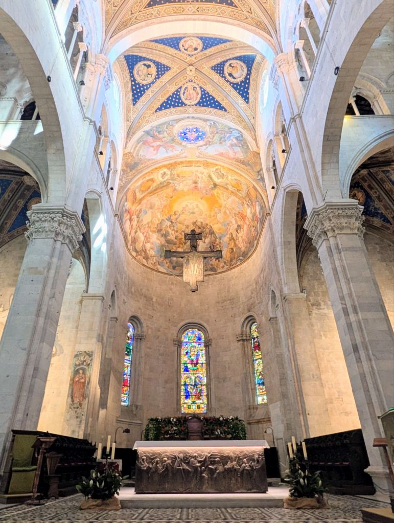
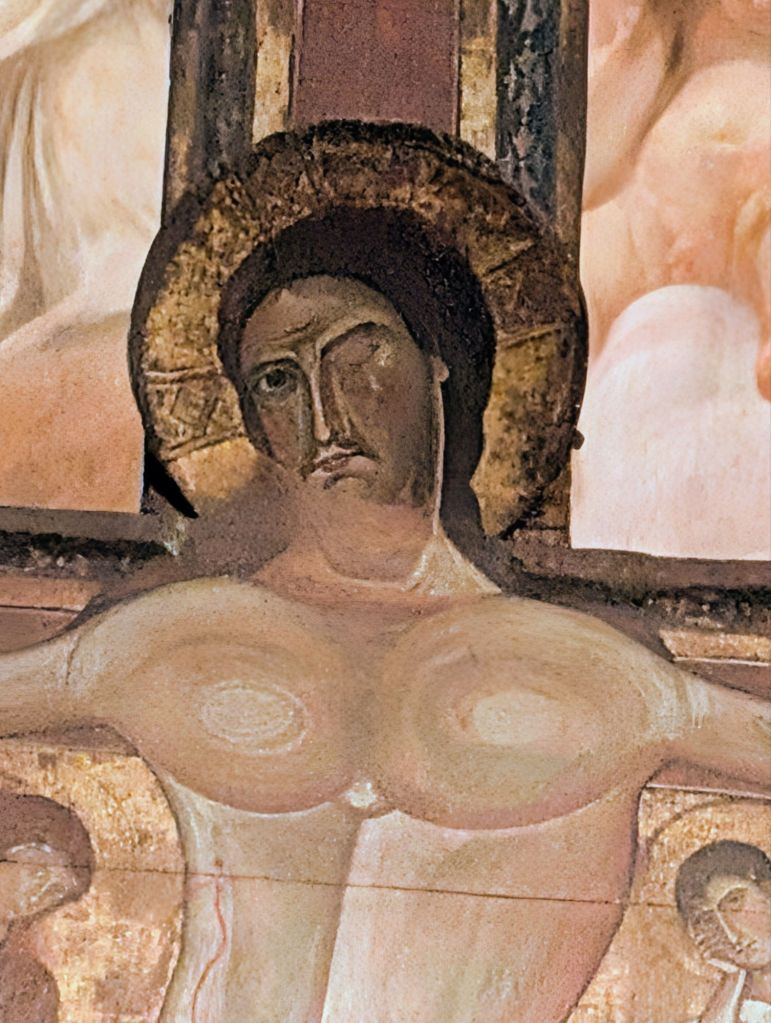
The Cathedral of San Martino also has another unique item- “The Cross of the Swollen Eye”
The Cross of the Swollen Eye hanging in the churchClose Up showing the Swollen Eye
This cross was made by an anonymous artist from Lucca in the first half of the 13th Century. Legend has it that the wound was caused by a dice player who got angry because he lost. He was so mad that he picked up a stone & hurled it at the crucifix. The eye that it struck miraculously began to bleed.
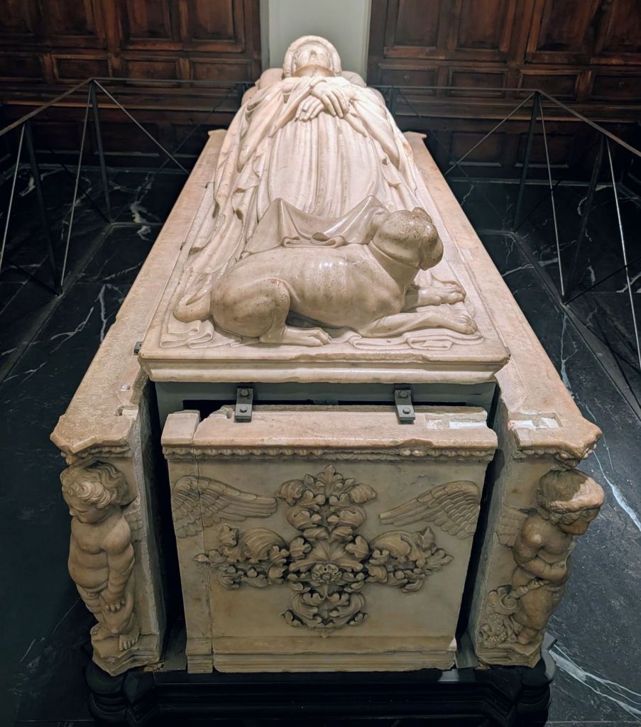
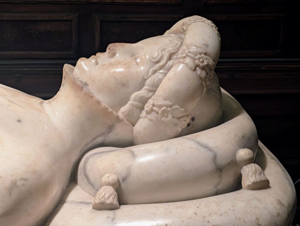
Also inside this church is a funeral monument to Ilaria del Carretto which is considered to rate among the most delicate examples of Italian Renaissance sculpture.
Saint Zita was born in Lucca in 1218 & is among the most famous saints born in Tuscany.
Pope Pius XII proclaimed her the patroness of maids. Later she became the Patroness of Lucca & also of housewives and bakers.
From humble origins, Zita worked as a maid for the Fatinelli family in their Palazzo Fatinelli located beside the Basilica di San Frediano.
To go to church, she used the side entrance & it was here that one day in the square, she came across a poor beggar man at the mercy of the cold.
Moved by compassion, she ran into the palace to get a cloak to give to the freezing man.
She took the cloak without telling her employers.
So she would not get punished, the next day an angel waited for Zita at that same door with a new cloak to put back in its place.
This is how the Porta dell’Angelo (“Angel’s Door”) came to be.
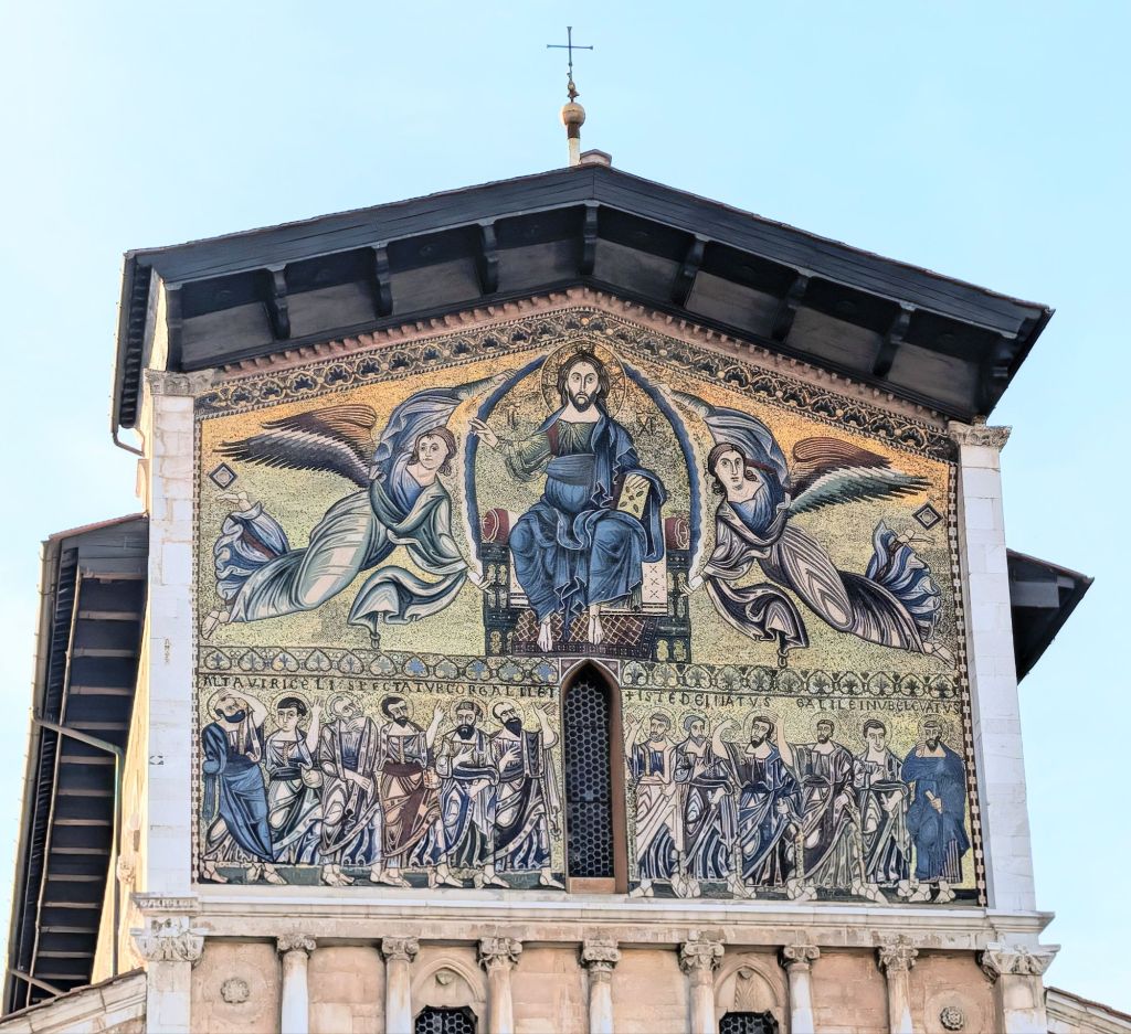
The miracle is portrayed on the Basilica di San Frediano.
Saint Zita & The Angel’s Door
Lucca also has much mystery in its history.
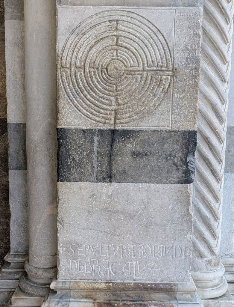
On the Cathedral of San Martino’s entrance portico’s right pillar, there is a small labyrinth carved on a column.
Mysterious Labyrinth with Inscription
This figure which is among the most enigmatic in Italy is accompanied by a Latin inscription which evokes the Greek myth of Theseus and Ariadne which translated reads: “This is the labyrinth built by Cretan Daedalus from which no one who entered could go out except Theseus aided by Ariadne’s thread”.
As to its meaning, no one still knows what is a satisfactory answer to explain this enigmatic carving & its accompanying inscription.
Perhaps it is a warning addressed to pilgrims as they rested here before traveling along the Via Francigena
Lucca is also a city filled with elegant & majestic buildings.
One is the Palazzo Bernardini which was built in the early 1500s for the family by the same name.
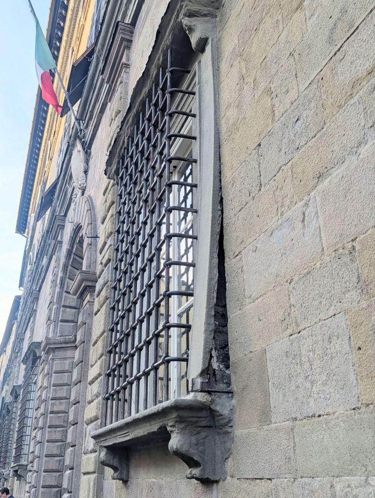
Looking at its facade, you can easily notice an unusual detail: a stone that has an anomalous curve compared to the building’s flat wall surface.
Legend has it that during the palace’s construction, the Devil convinced the Bernardini family to demolish a building on which a sacred image was depicted.
When workers began to build the window jamb to the entrance door’s right side, the Devil decided to leave his mark commemorating that he desecrated the sacred image, so the stone has remained hopelessly curved.
The Devil’s Stone
At the exact spot where the sacred image was located, the stone became curved & it has remained curved despite numerous attempts to straighten it through the centuries, so it is called “The Devil’s Stone”.
In 1805, Napoleon created The Principality of Lucca and Piombino & he gave it to his sister Elisa Bonaparte who became its princess.
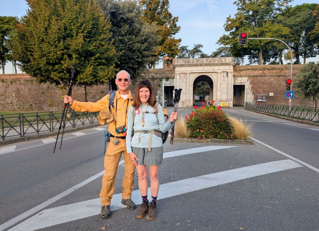
We started today’s hike at Lucca’s Porta Elisa heading East.
Elisa Gate leading out of Lucca’s city wall
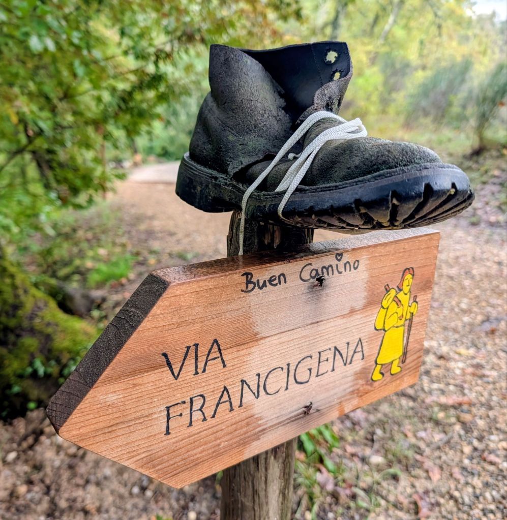
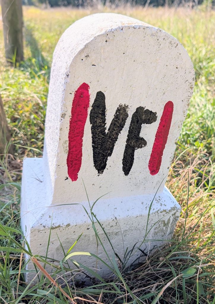
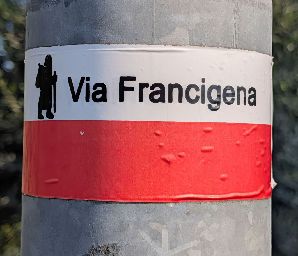
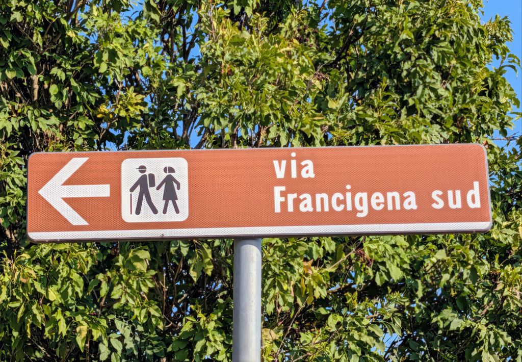
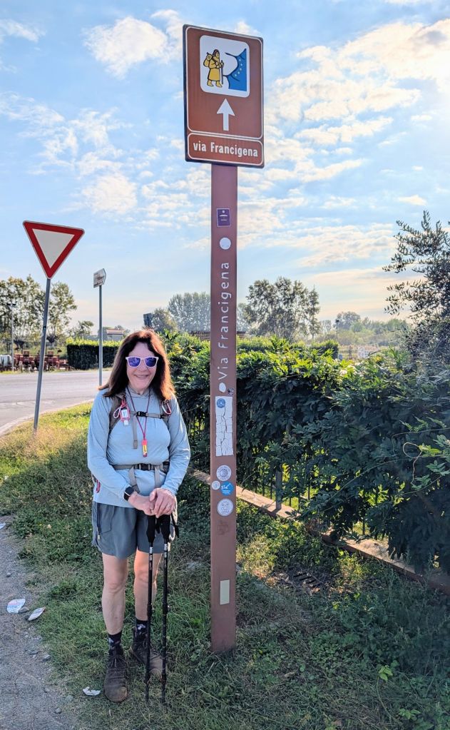
The trail is marked in various ways: but, sometimes it is not too well marked, so have to pay attention to stay on course.
Various trail markers using signs, stickers on poles, way markers, & icons
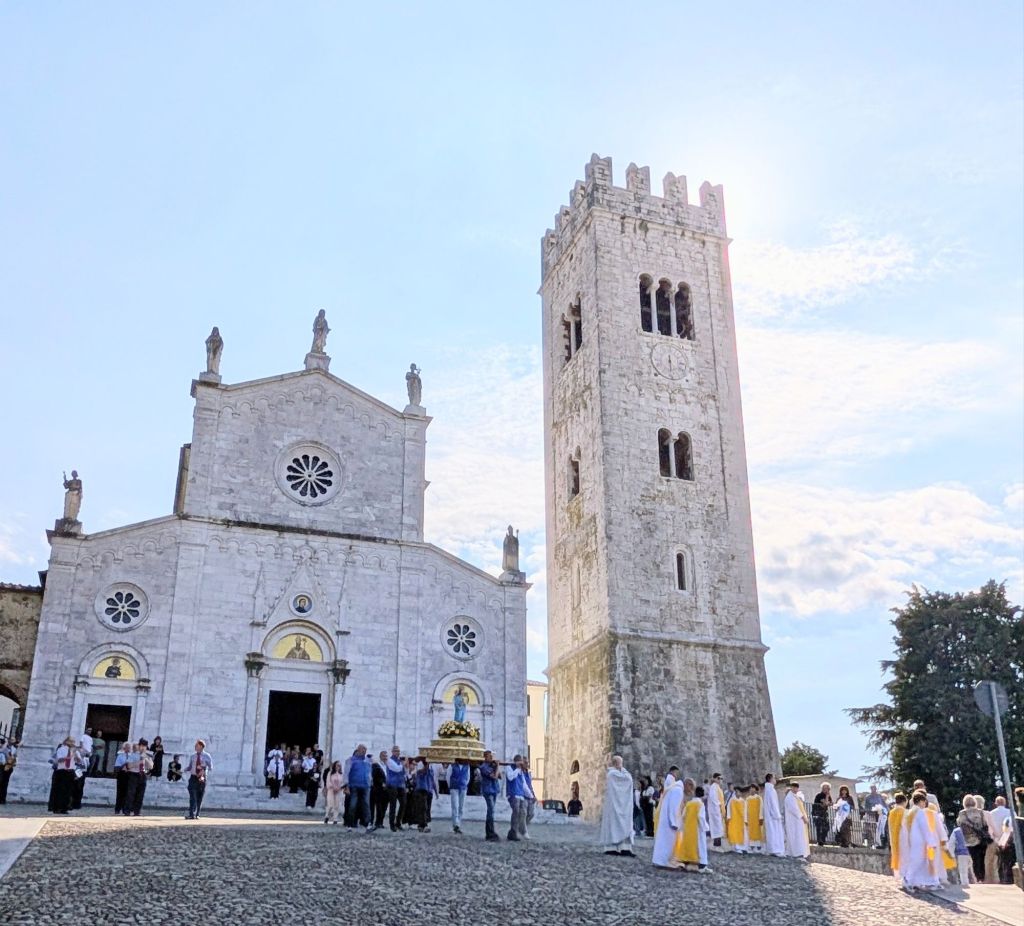
Porcari has the Church of San Giusto.
The building dates back to before the 12th Century when it was developed to become the church.
In 1745, it was almost completely reconstructed.
The church’s façade with its fresh-faced white-marble appearance with pops of yellow above the doorways is slightly younger in age.
It is an example showing the revival in 12th Century Gothic architecture seen at that time.
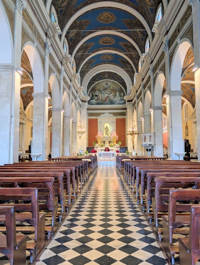
Inside the church there is a gorgeous ceiling, frescoes, & the three naves.
Equally striking is the bell tower which rises high above the church.
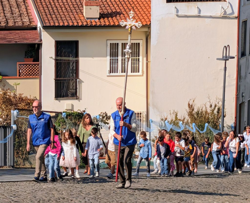
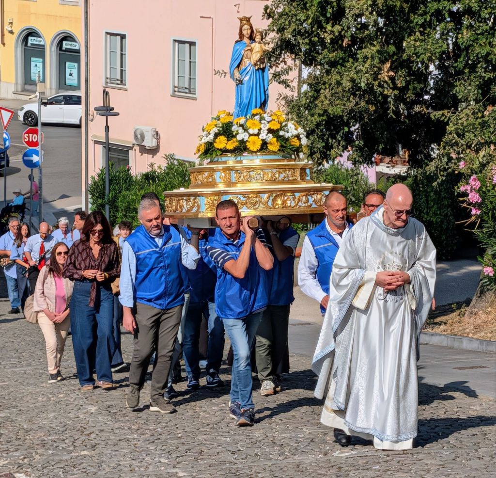
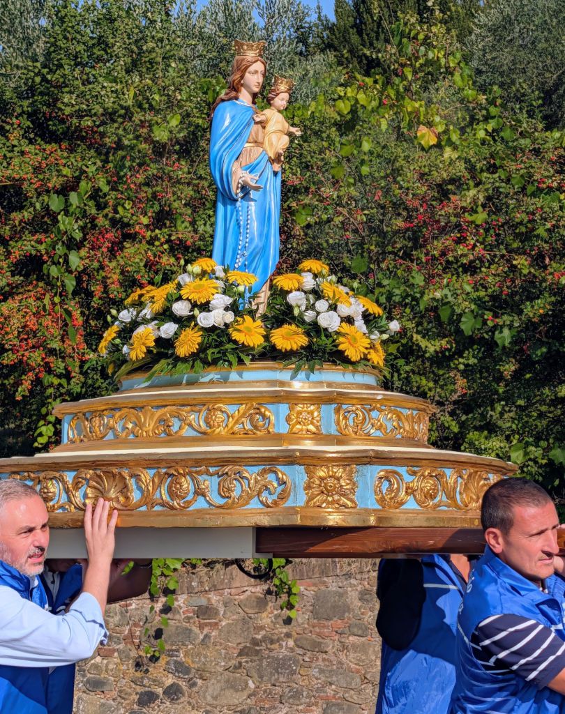
We arrived here just in time at 11:30AM to see the priest with his congregation parade the church’s main symbol accompanied by a band with all the bells loudly ringing in the tower.
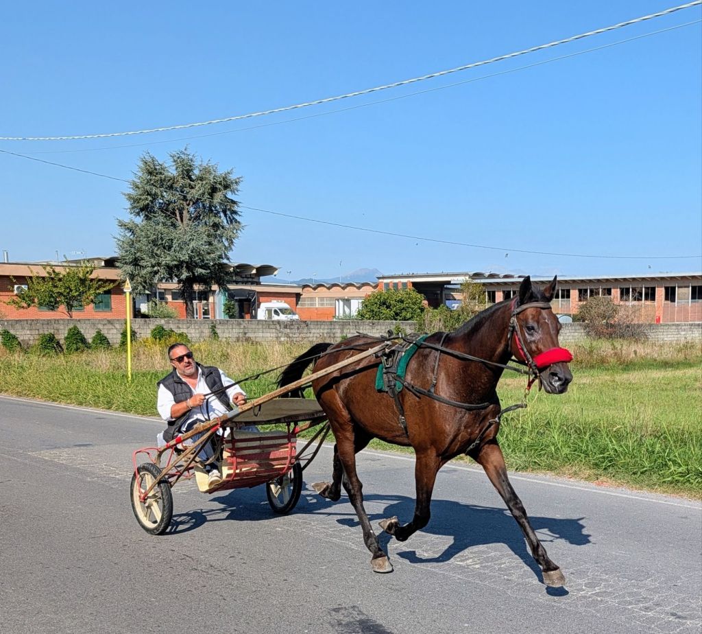
Moving on, we heard a loud clicking noise fast approaching us from behind & were surprised to see this conveyance.