Viterbo to Vetralla
10.4 Miles; 5.25 Hours on the trail. (Cumulative: 210.2 Miles; 110.4 Hours on the trail)
Just outside Viterbo are the Etruscan Via Cava (Excavated Roads) which are narrow roadways cut like gashes into the soft, tufa stone over 2,500 years ago.
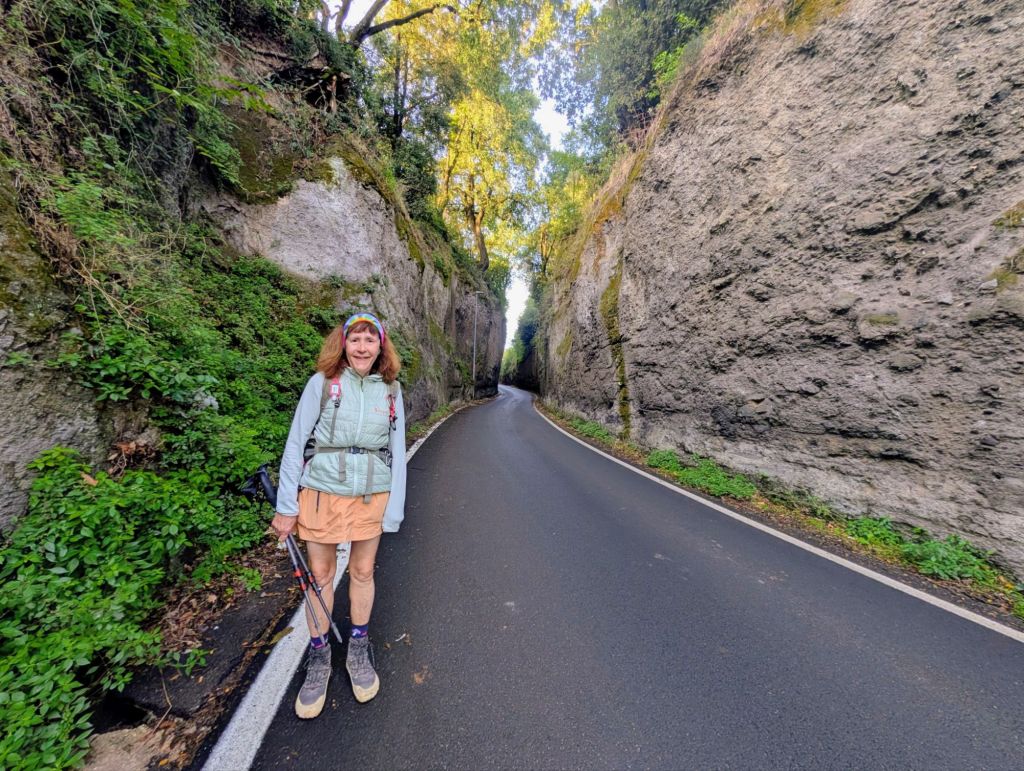
They usually lead from Etruscan settlements to nearby necropoli (cemeteries).
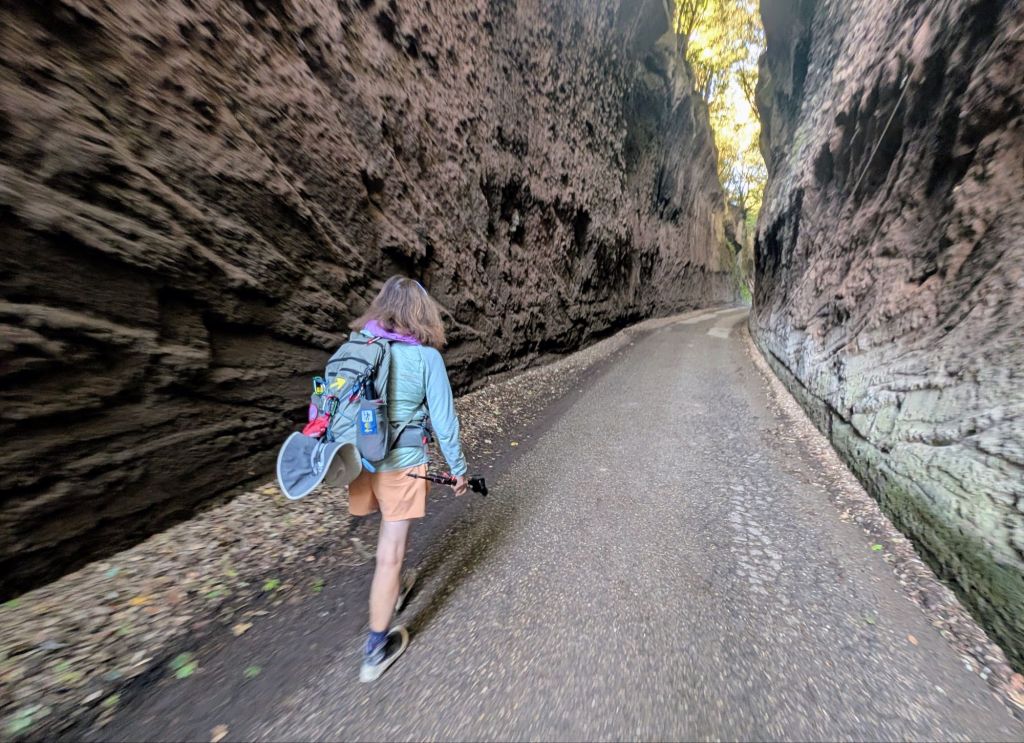
Scientists suggest they were cut because the ironclad wheels used on their wagons made such deep depressions in the soft tufa stone that the Etruscans had to keep excavating the stone to allow clearance for their wagon axles & bottoms from hitting the ground.
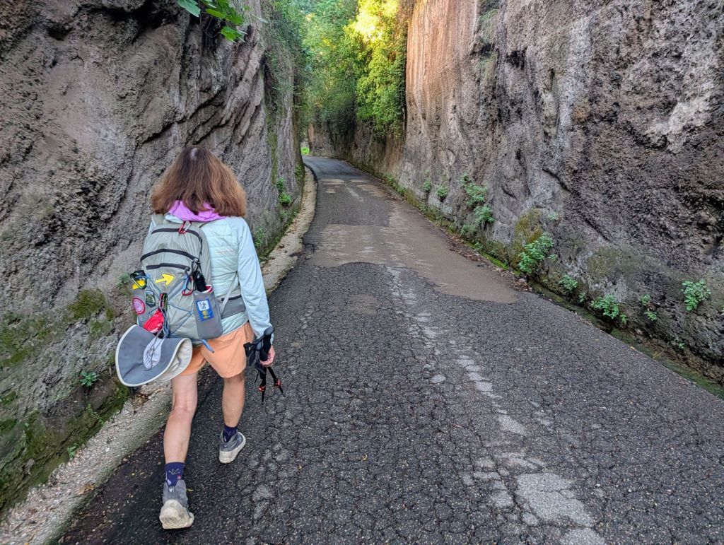
The Via Cava in this section are up to 12 meters deep; but, in other locations in the region, they can be nearly twice as deep.
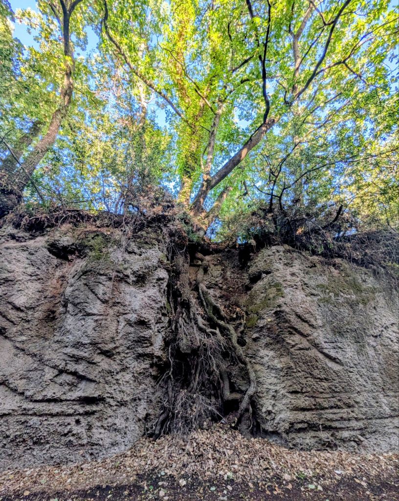
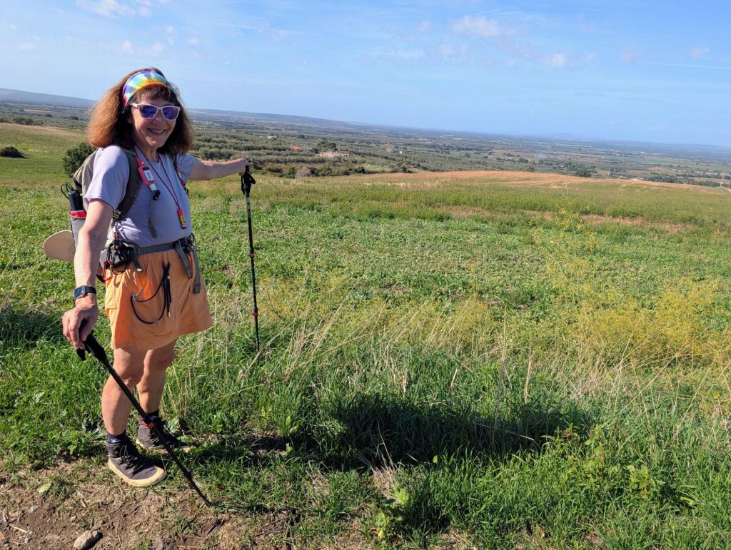
Once past the Etruscan Via Cava, we walked on country lanes passing through some beautiful landscapes filled with vineyards & olive groves.
We stopped at Tuscia Terme
which is a thermal park with 5 ea. pools at 58° Celsius (136.4°F) fed directly by a natural hot spring whose sulfurous waters are among the richest & most beneficial in Europe.
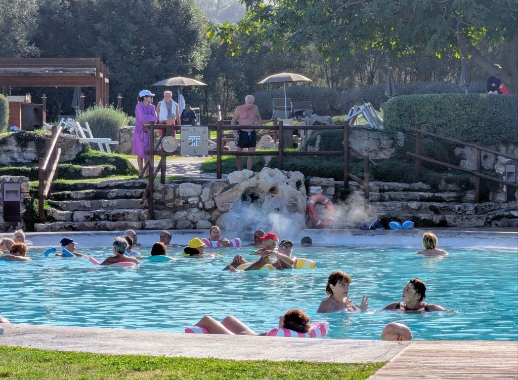
Tuscia Terme is located in a thermal area called “Masse di San Sisto”.
Roman aristocrats built villas here to use & benefit from the warm mineral waters from the hot springs.
The Etruscans inhabited this land before the Romans so they called it “Terme Etrusche”.
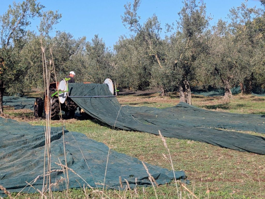
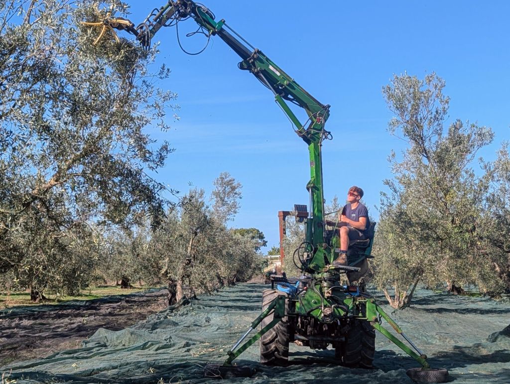
We saw the olive harvest starting with workers laying the vast netting to catch the olives which are shaken off the tree with a special threshing machine
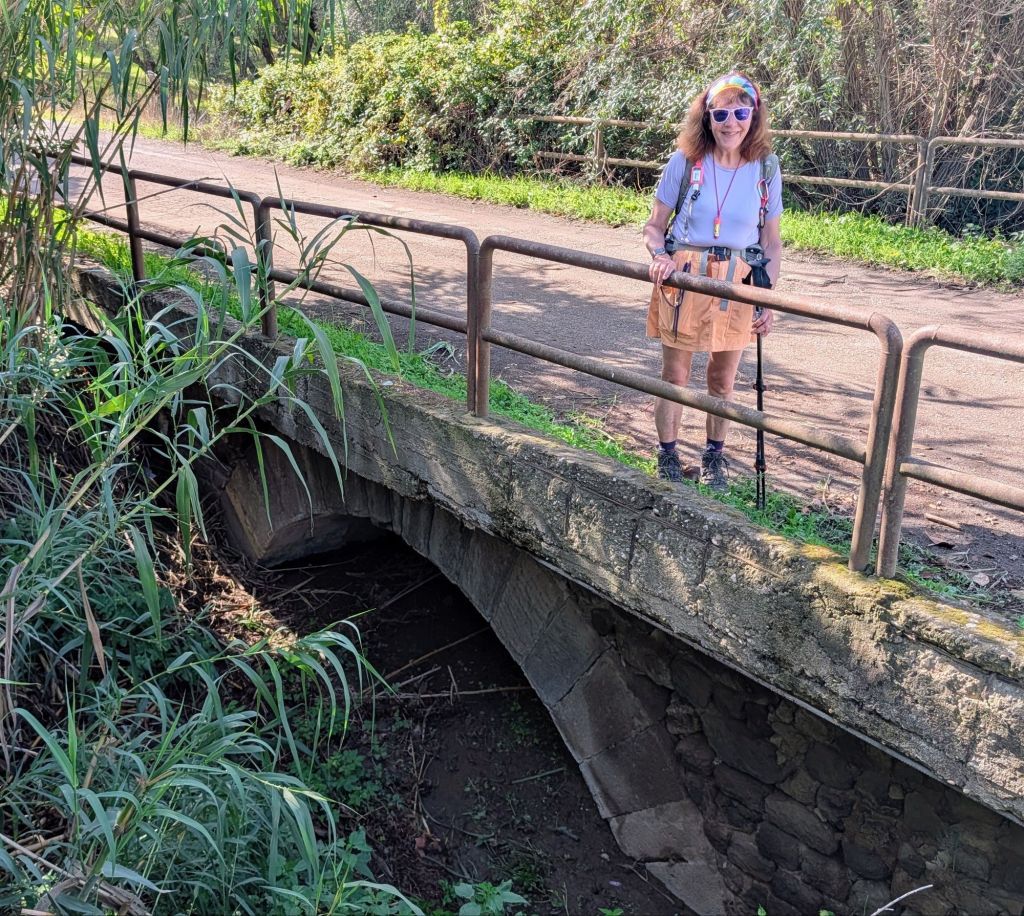
The foundation for this modern infrastructure is a 2nd Century BC Roman arched bridge.
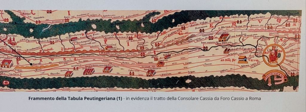
The Tabula Peutingeriana is the oldest surviving Roman map.
Created in the 4th Century AD to show the military roads in the Roman Empire, it survived as a copy made in the 12th Century & was discovered in the 15th Century.
It is now preserved in the Vienna Hofbibliotek.
The approach to Vetralla is uphill & local legend says that in Biblical times when Noah was escaping the flood, he ran his Ark aground here to enjoy the area’s excellent wines before casting off.
It is said due to this legend, grapes figure prominently in Vetralla’s municipal coat of arms.
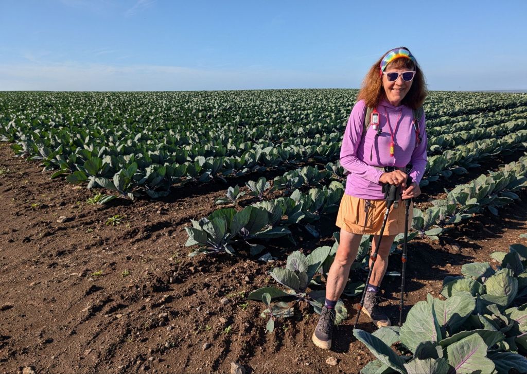
Here are some scenes from the trail today: