Walking Ireland’s Kerry Way – Part 3

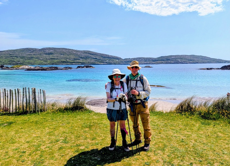
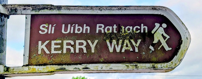
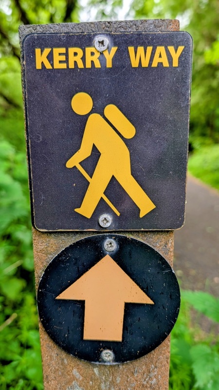
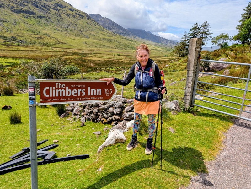
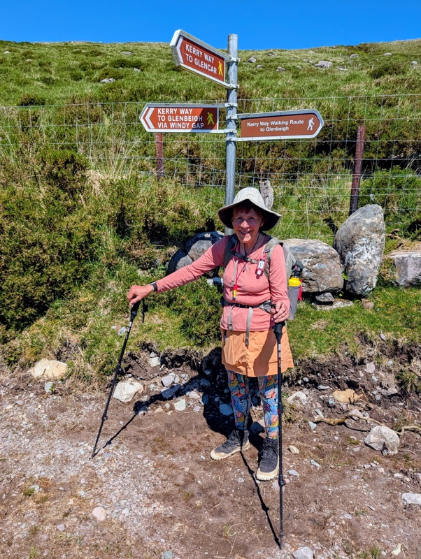
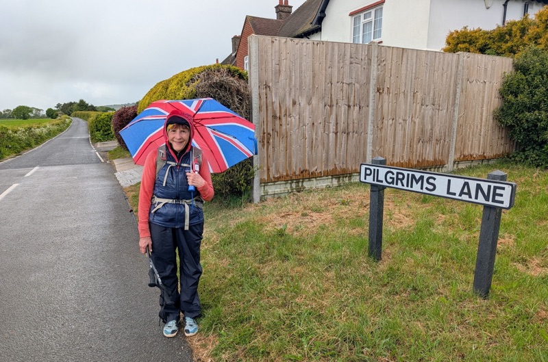
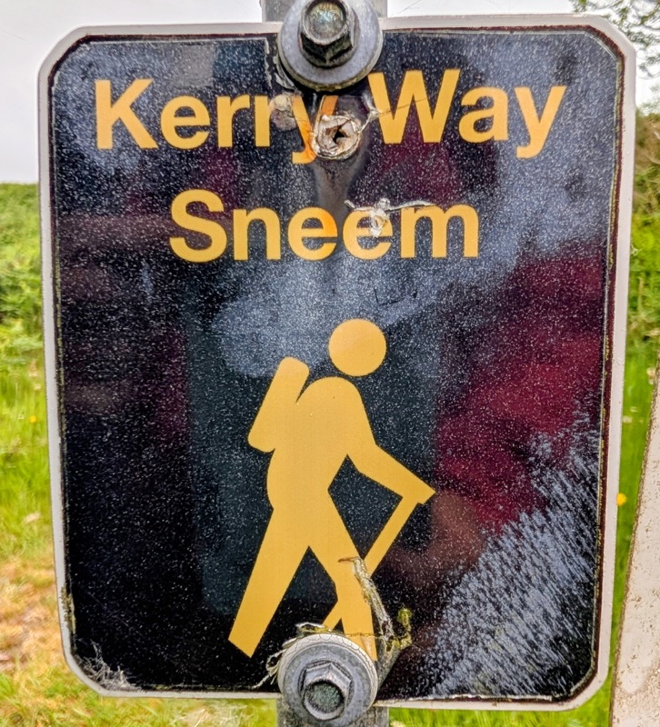
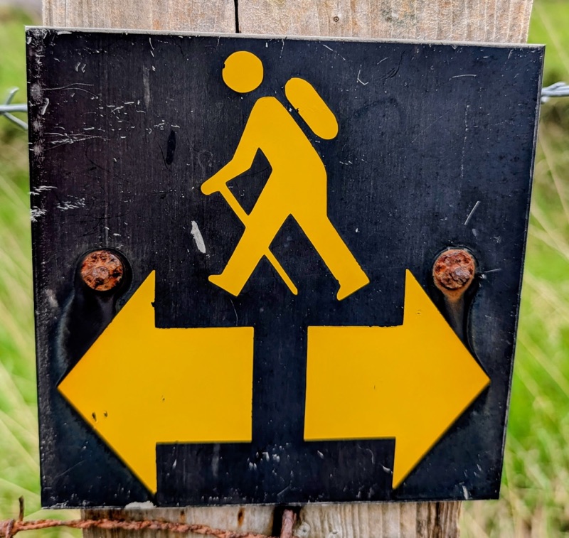
Day 7 – Caherdaniel to Sneem- 14 miles

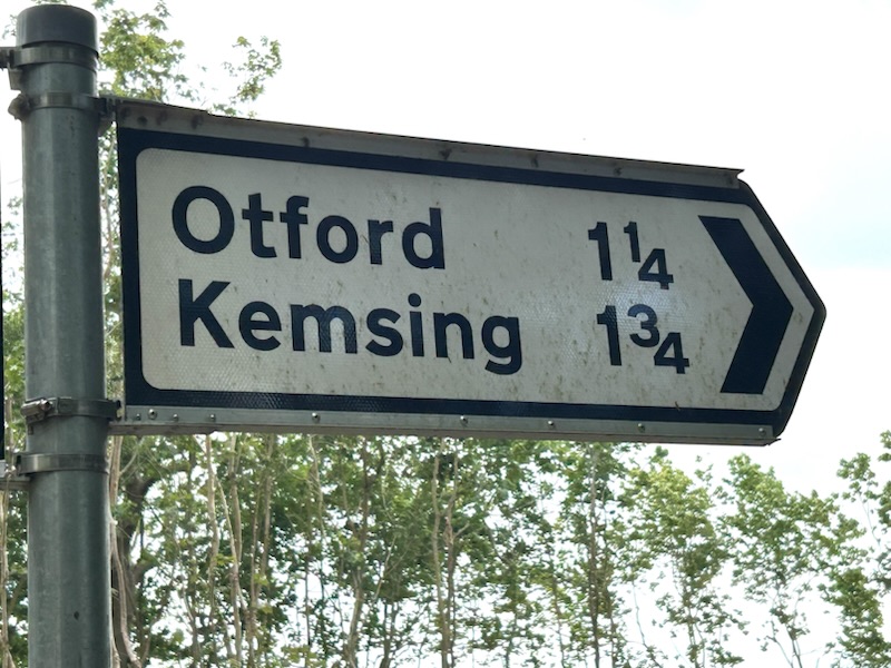
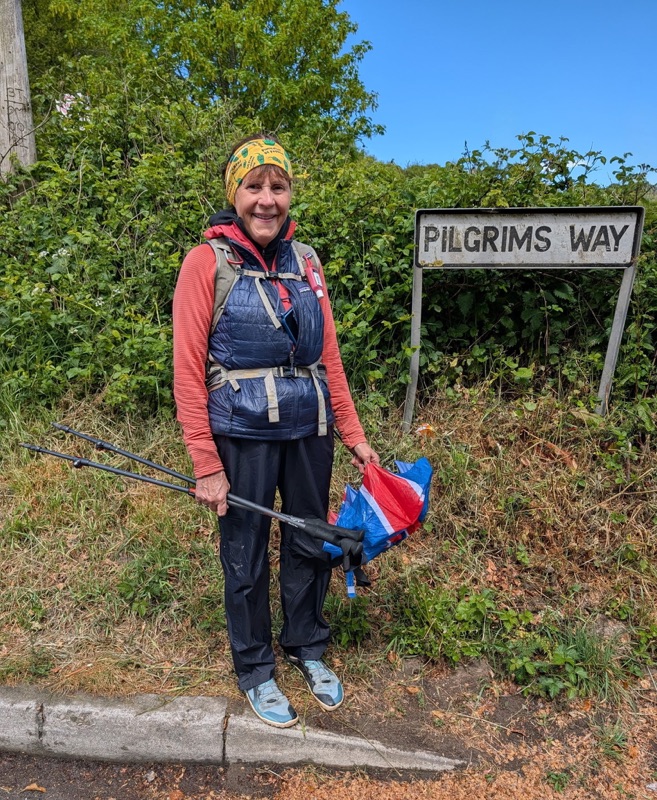
Day 8 – Sneem to Kenmare- 10 miles

Day 9 – Kenmare to Killarney- Took the bus

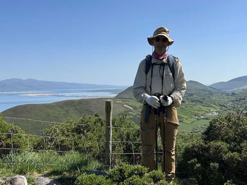
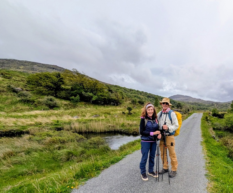
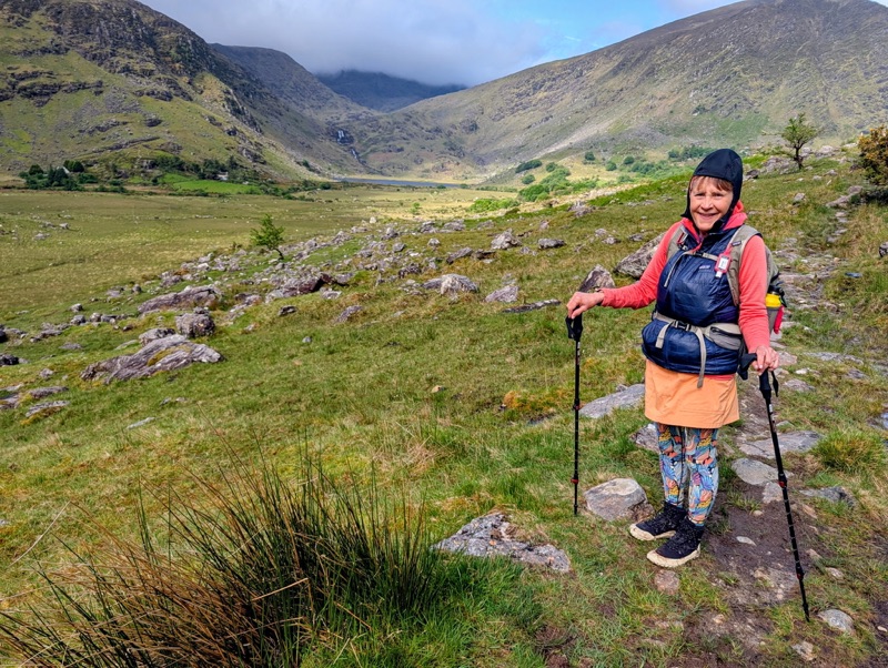
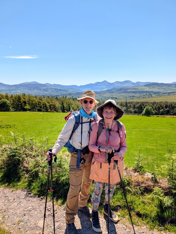
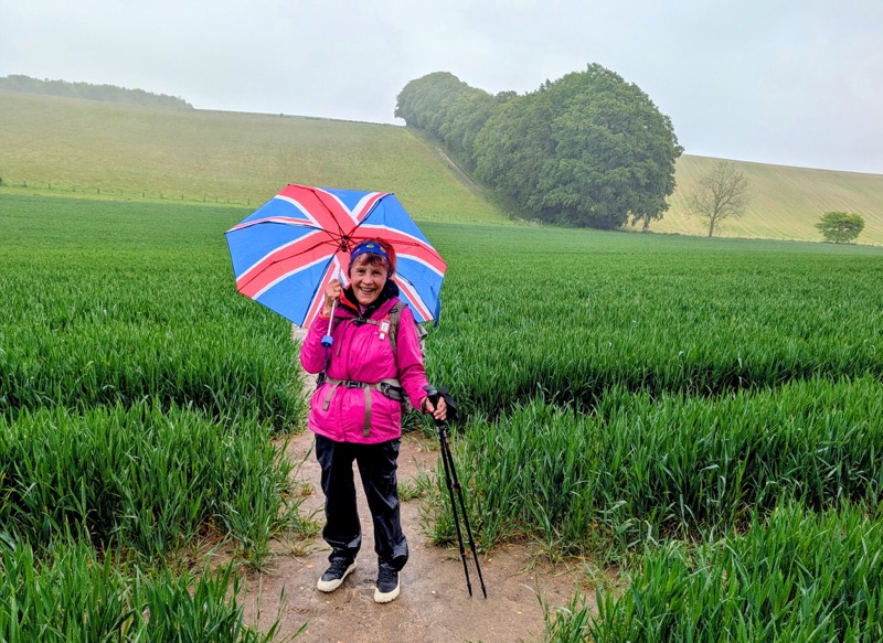
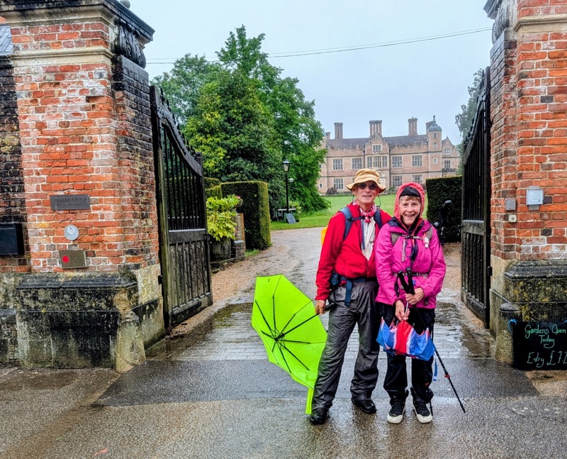
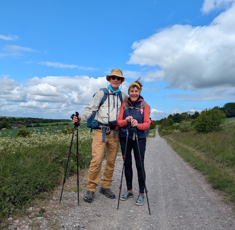
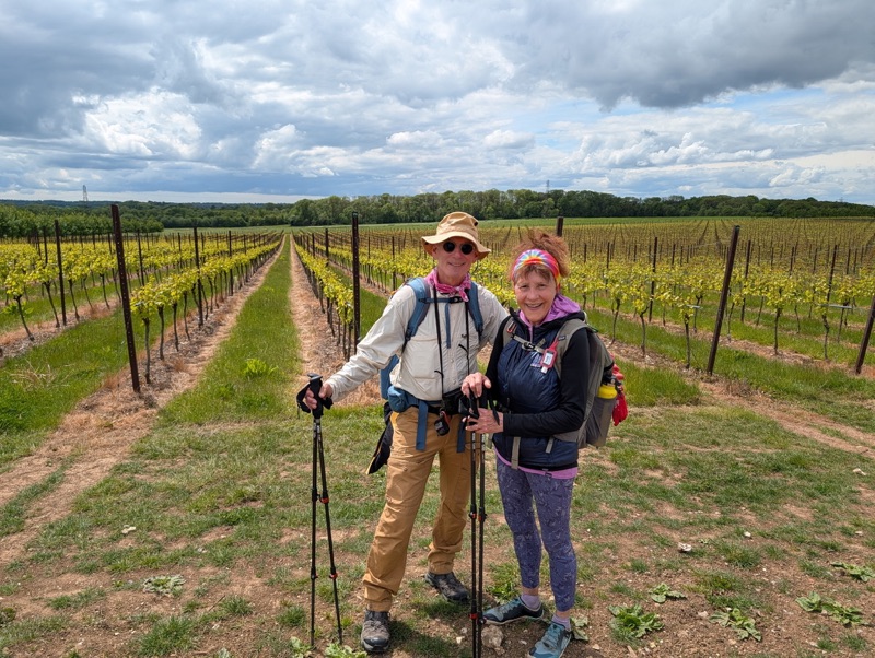
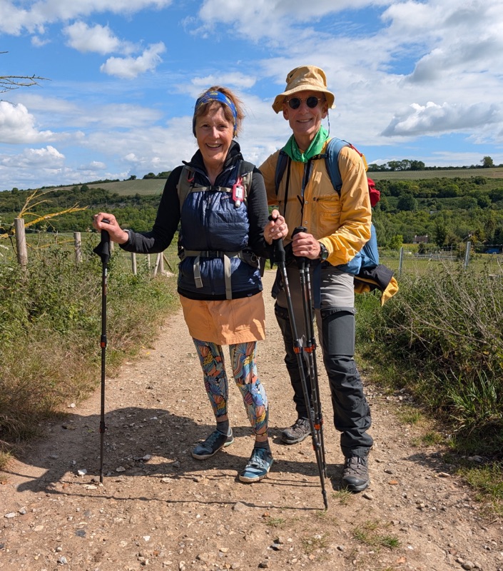
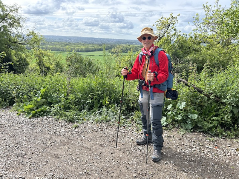
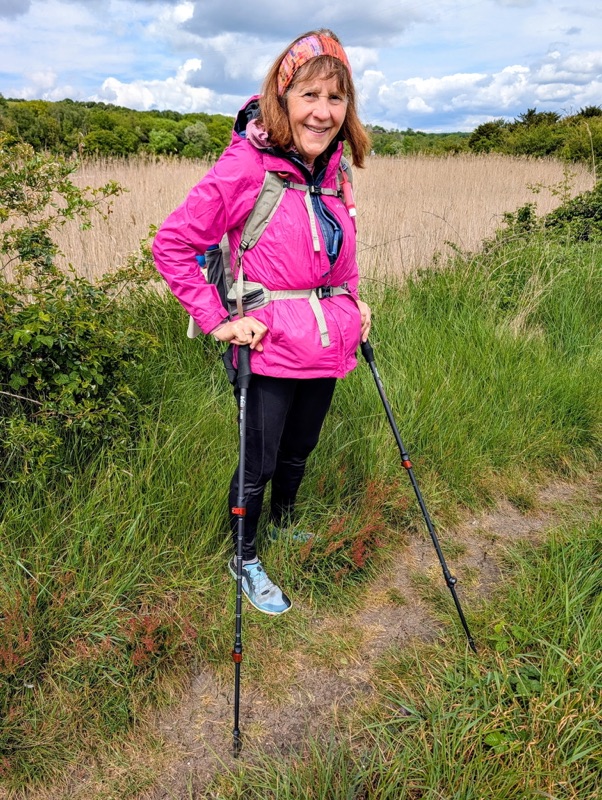
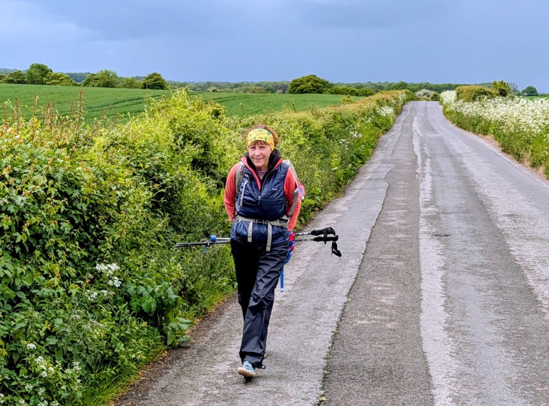
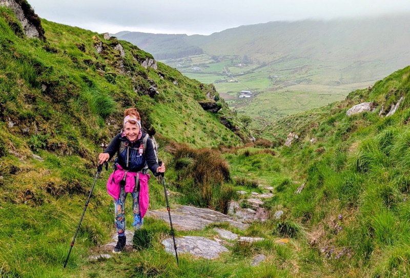
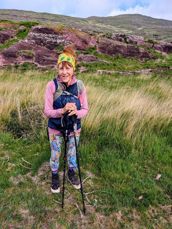
After three beautiful days of sunny, very warm weather, on Day 7, the cool cloudy weather with occasional light rain returned. I loved it! Perfect for hiking over the Irish mountains.

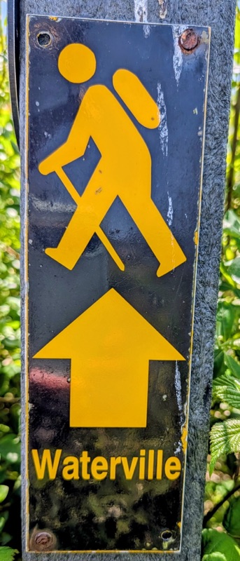
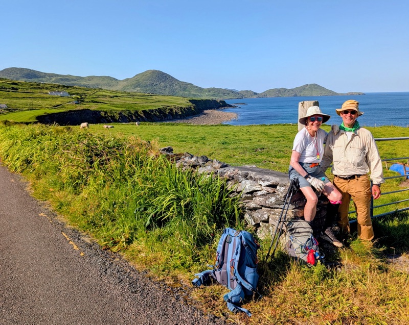
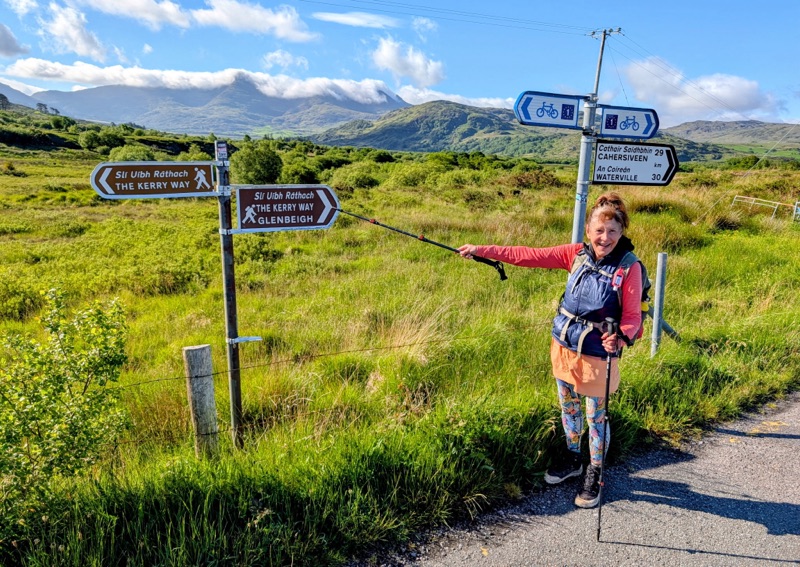
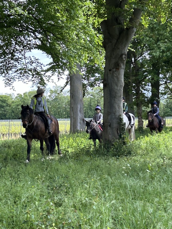
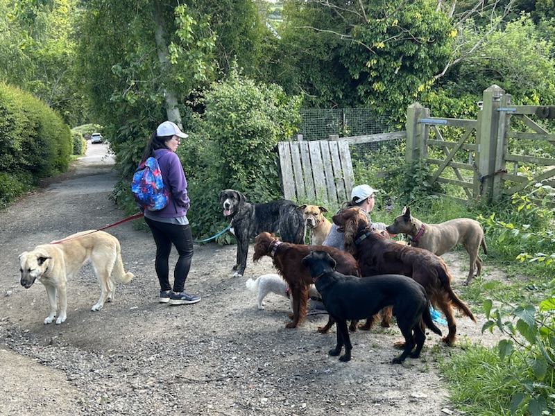
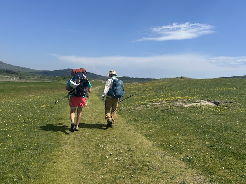
During this hike’s first half, we saw few to no people on the Kerry Way making us feel we were the only ones out there. However, after leaving Waterville, we met a few hikers.

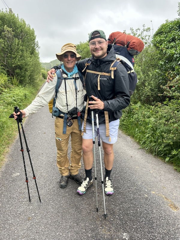
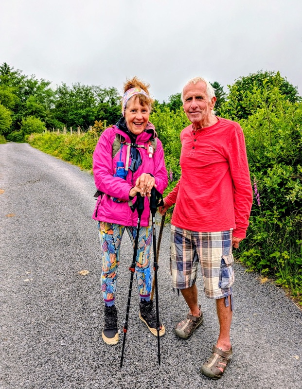
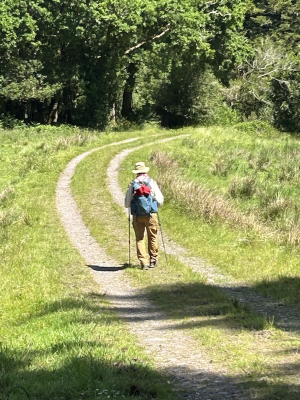
On Day 6 from Waterville to Caherdaniel, we met a French college student named Paul from Angiers who was walking the entire Kerry Way carrying all his gear.

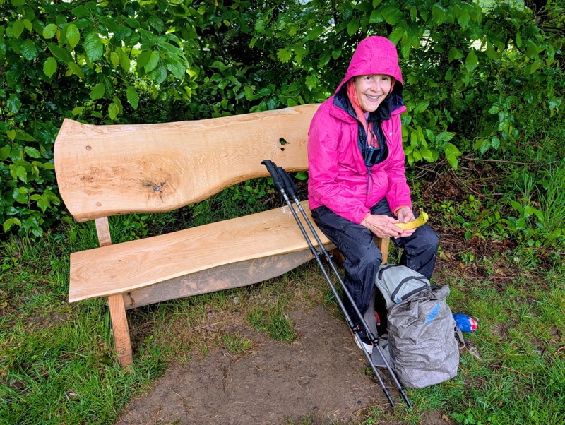
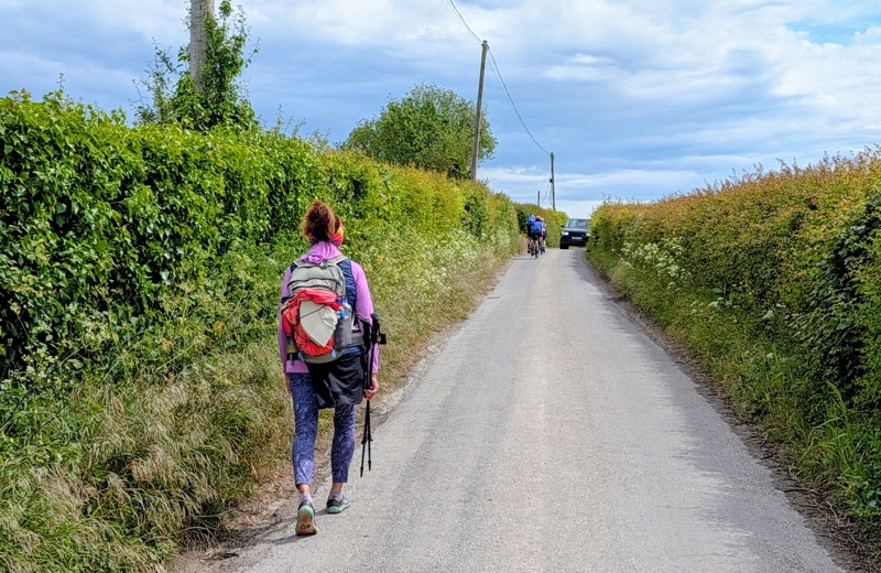
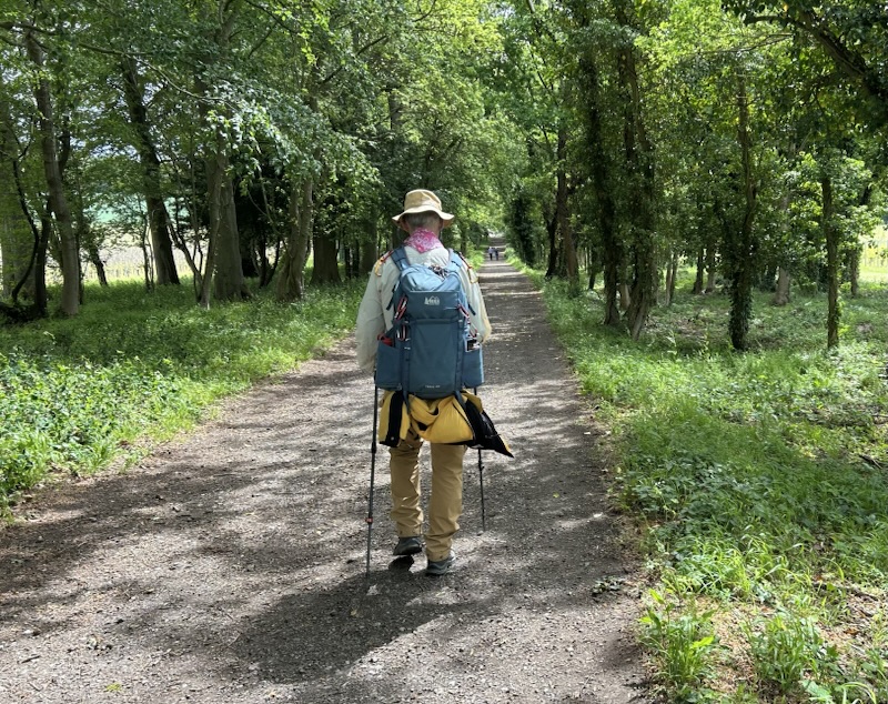
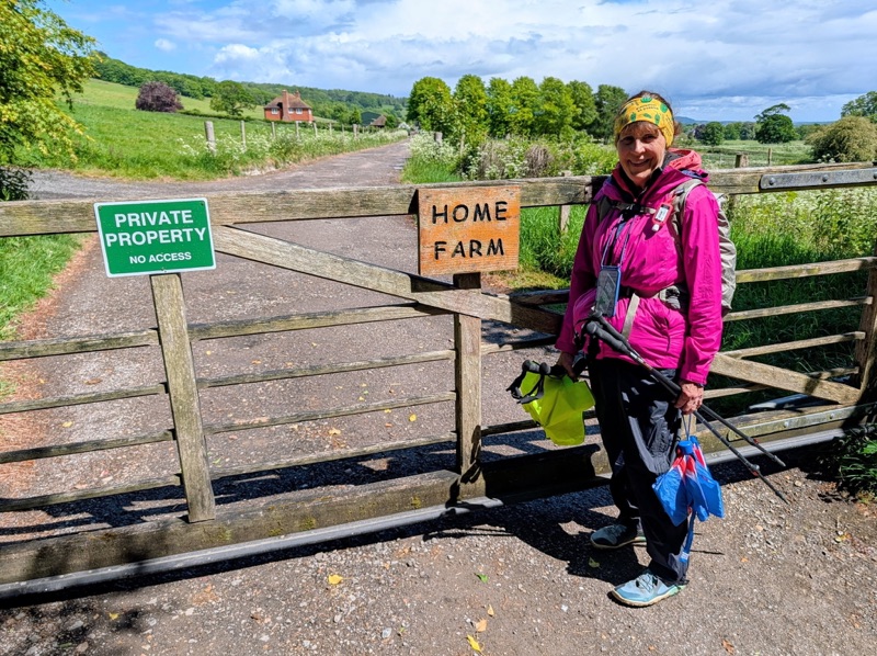
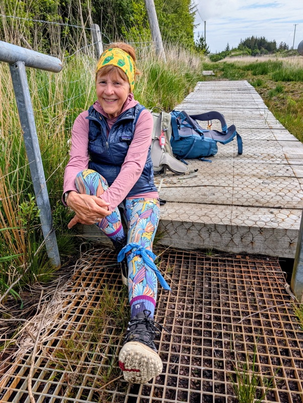
We had a few days in which the company that shuttles our bags to our nightly accommodation scheduled pick ups to drop us off down the trail to shorten the extremely long distances between places where we were staying. Even with a few pick ups & drop offs, the distances were still long.

However, to our amazement, we kept meeting Paul later each day as he caught up to us. He literally walked twice as fast as us! We would have a short chat before wishing him a good journey on his way.

We even met him again on the last day at the Killarney bus stop. We arrived & he was buying a bus ticket to Galway to visit his friend there.

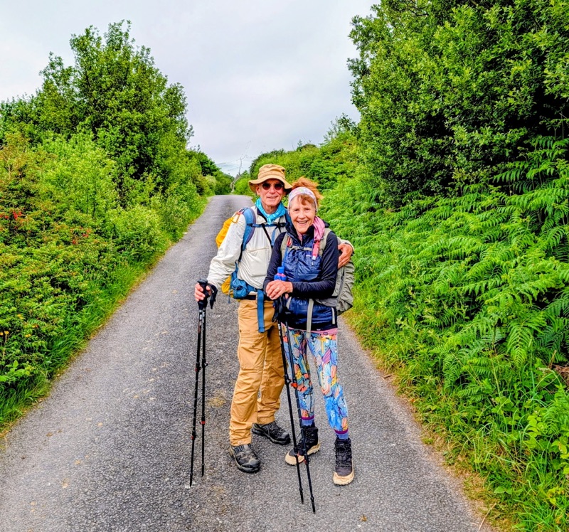
Among my favorite things about these long hikes is making a connection with someone along the trail.

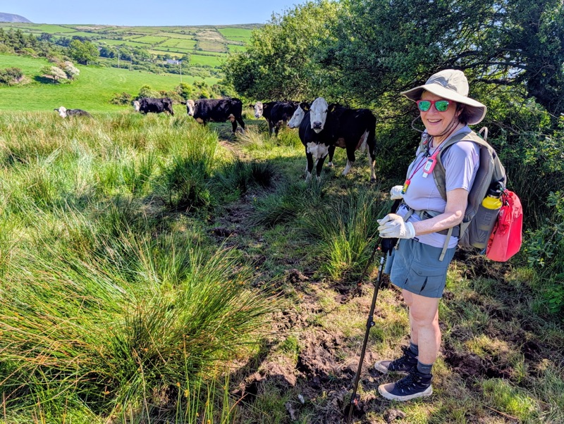
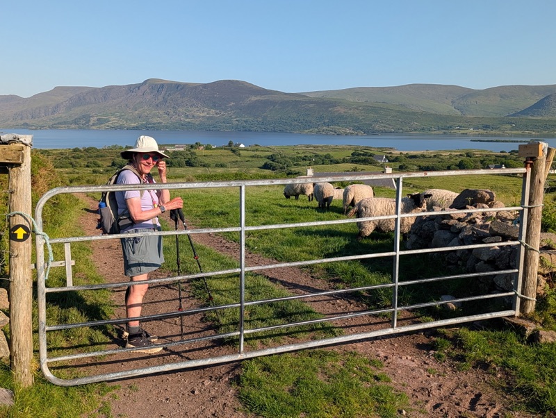
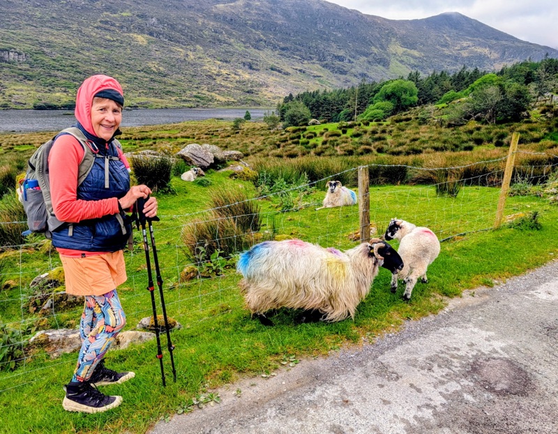
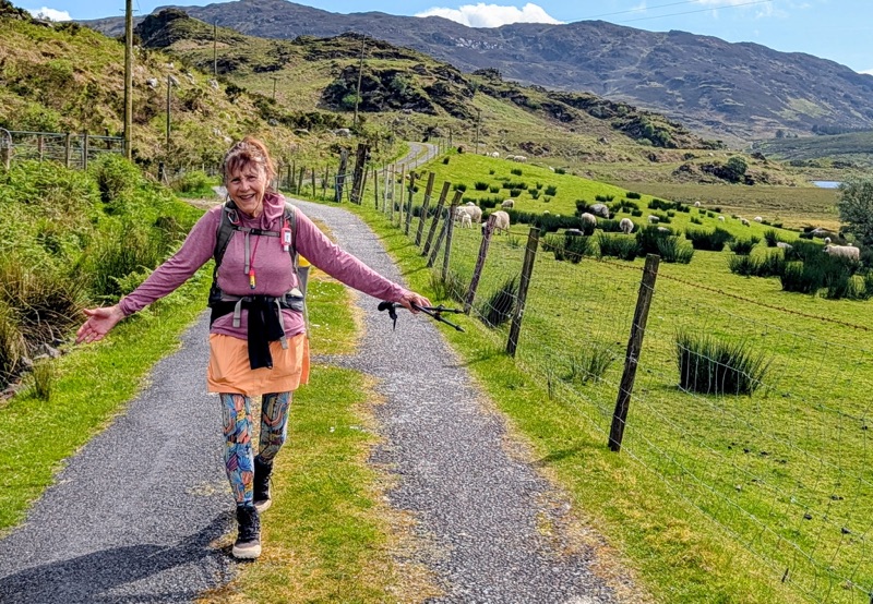
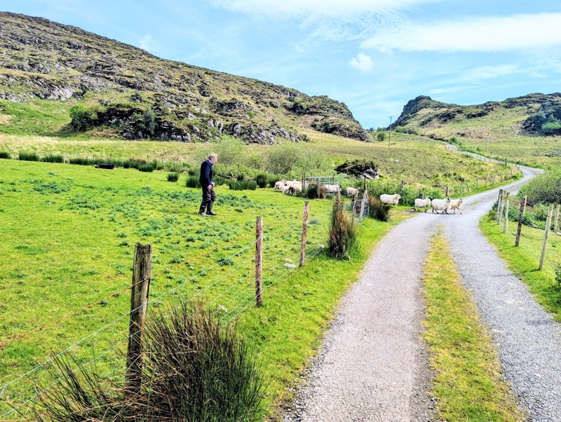
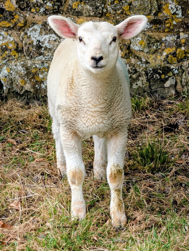
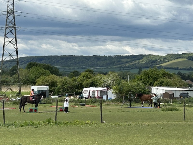
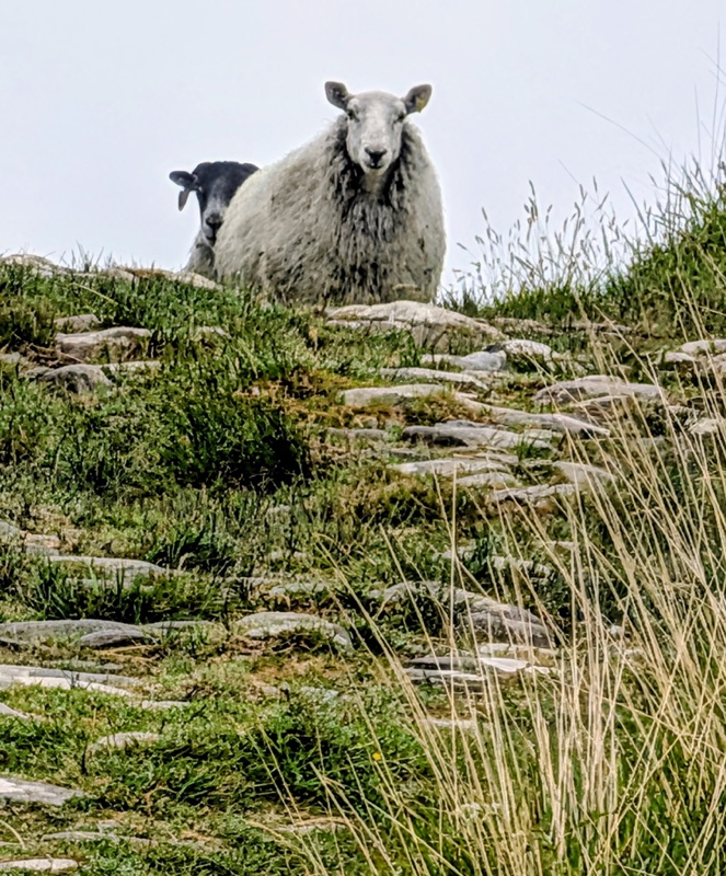
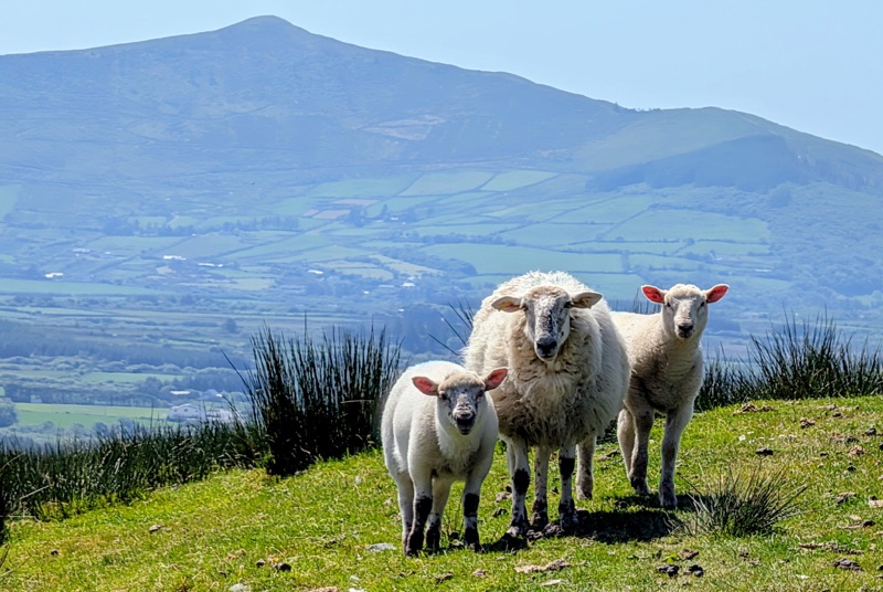
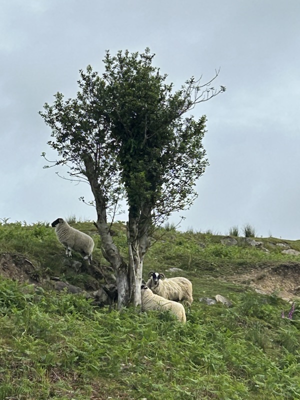
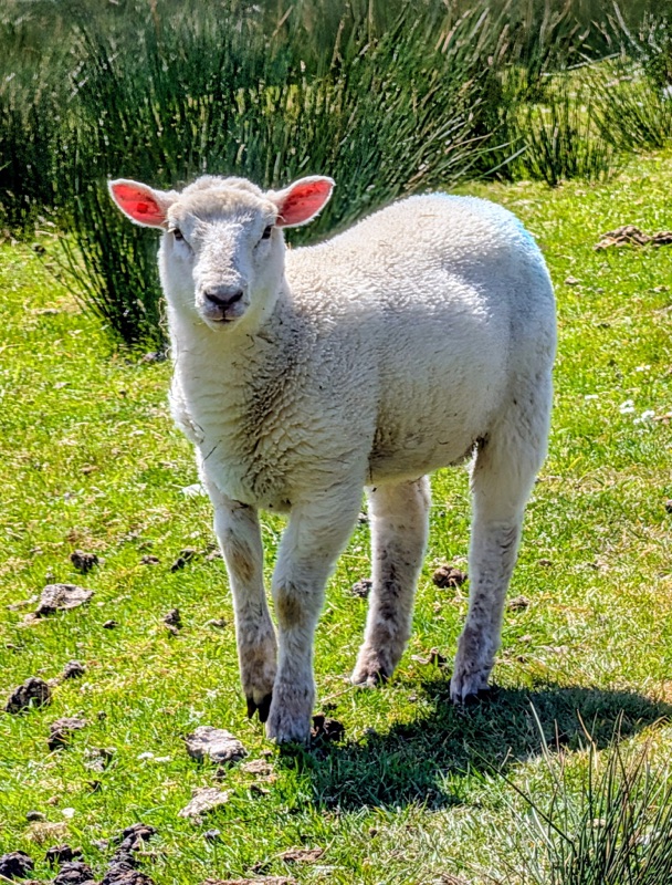
The only constant companion we could depend on were the Irish sheep. Each day we were serenaded with their constant “Baaa…baaa… baaa.” Ahhh yes, the sounds of Ireland.

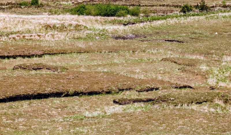
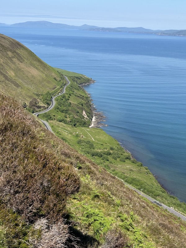
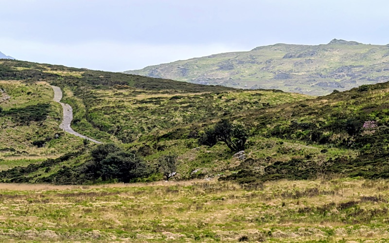
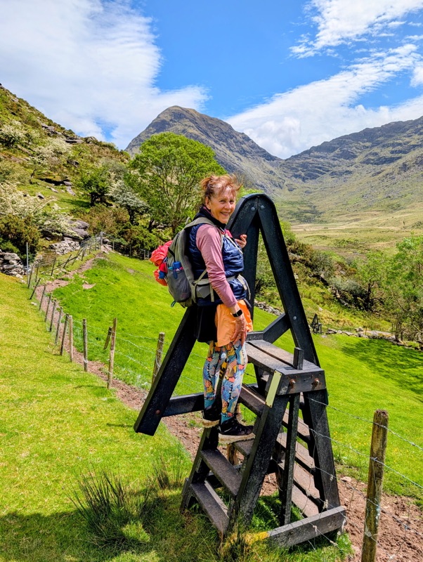
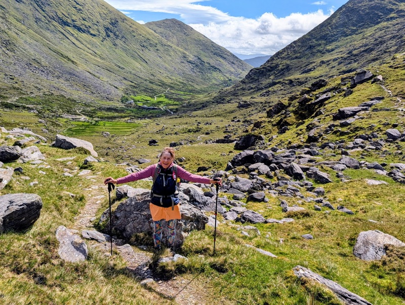
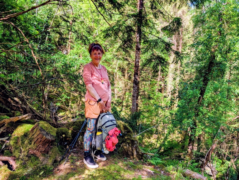
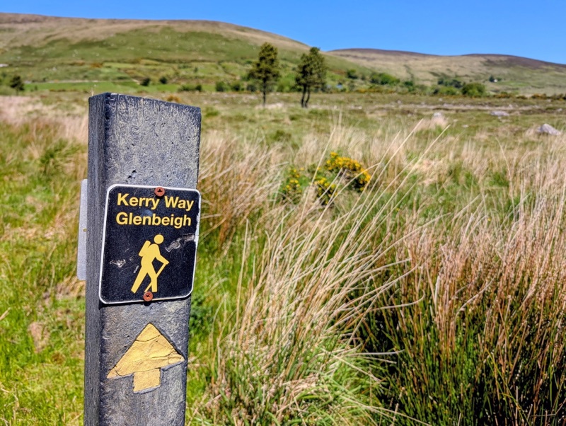
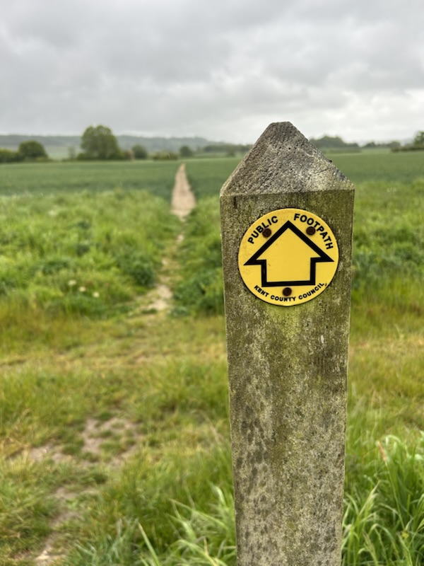
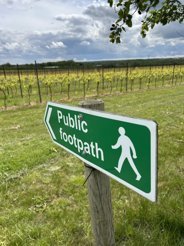
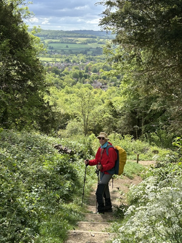
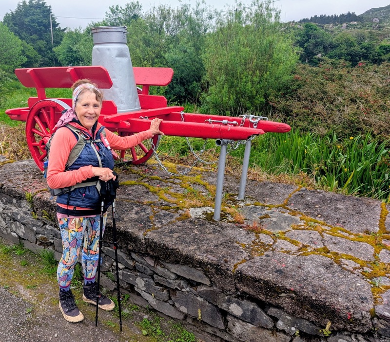
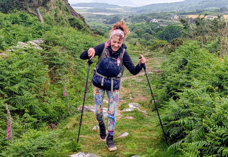
Day 7 was actually one of my favorite walking days because we walked many miles on the old Butter Road.

Caherdaniel was once a key center in the butter trade. During the 18th & 19th Centuries, butter produced in this remote region was transported by cart along rough mountain tracks to coastal ports & distant markets.

When we came to Ireland in 1985, we actually saw men still using these milk wagons which were pulled either by a horse or a mule.

We didn’t see any still in use on this hike.

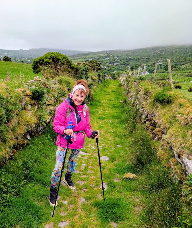
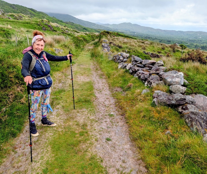
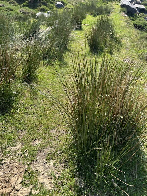
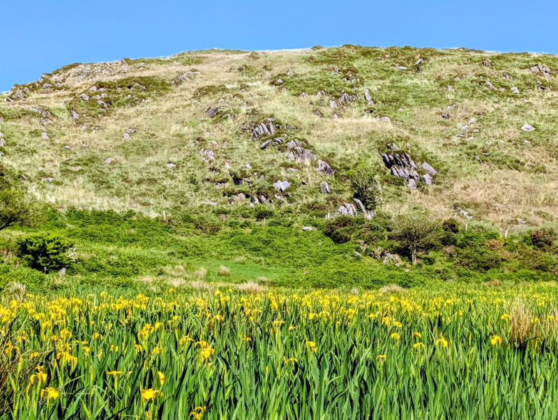
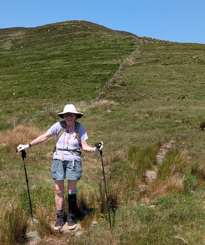
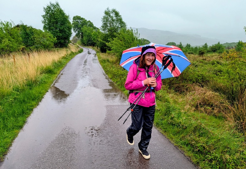
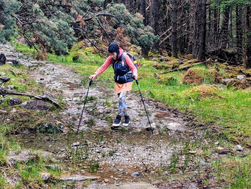
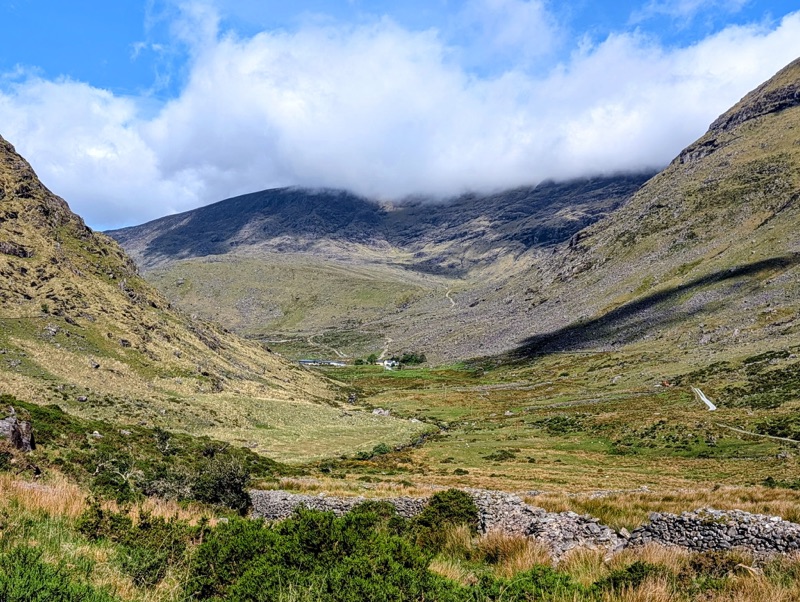
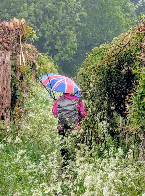
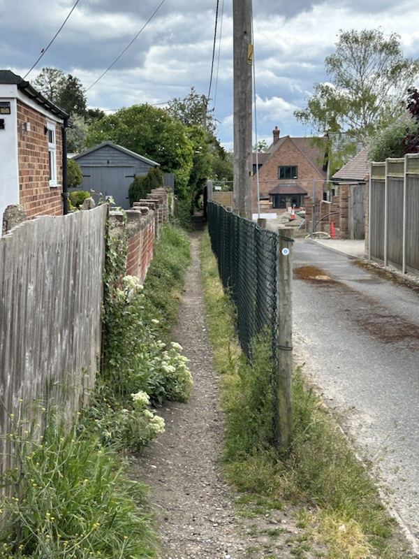
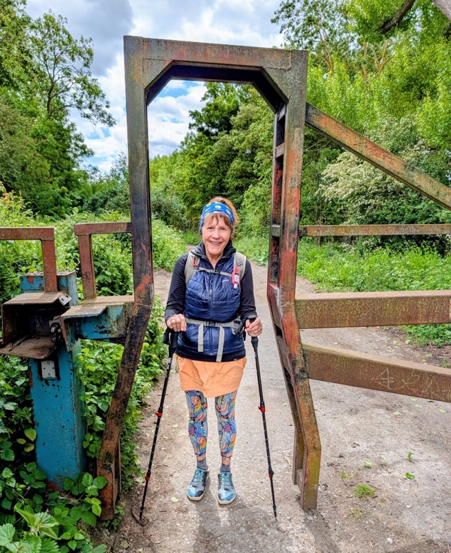
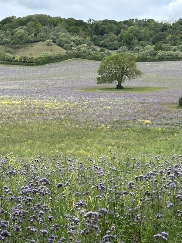
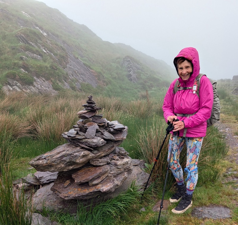
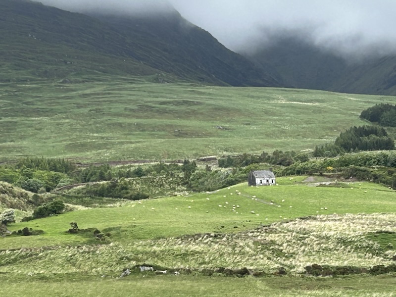
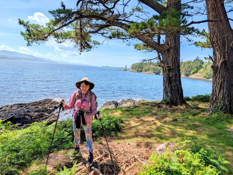
The path took us over rolling hills, into bog land, & up some gentle mountain slopes where we experienced the only rain for the day.

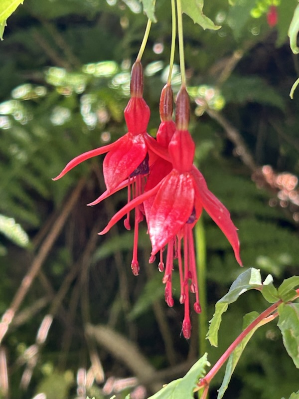
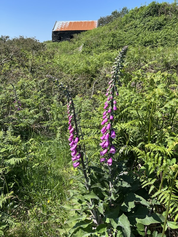
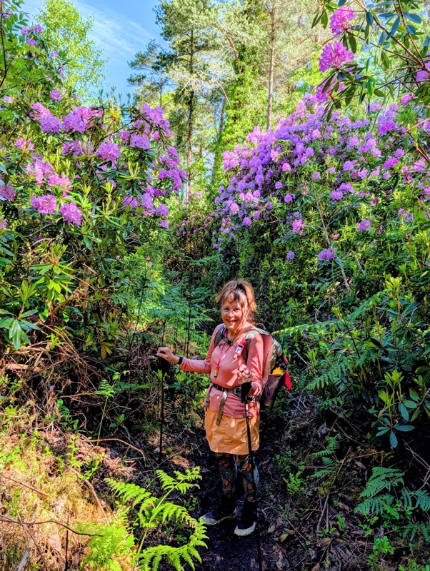
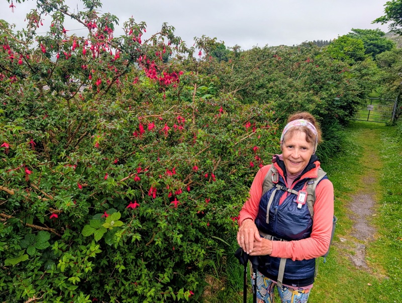
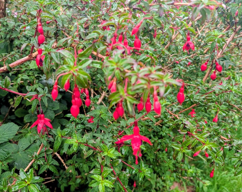
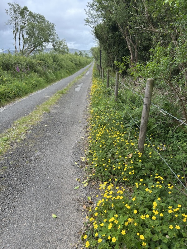
Yes, Ireland is known for its rock fences & green fields; but, the flowers are amazing! I was constantly amazed by the fuchsia bushes. Where I live in the Pacific Northwest, they never grow very tall & need full afternoon shade.

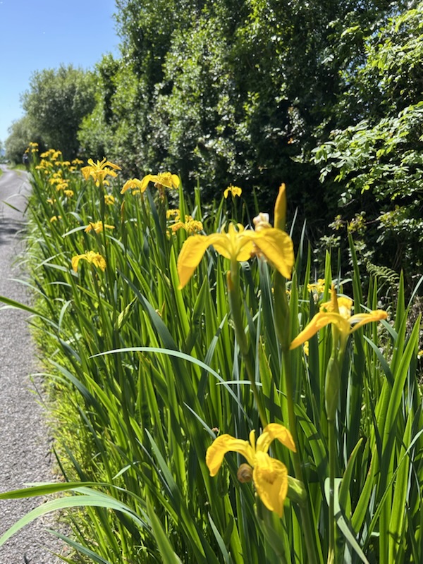
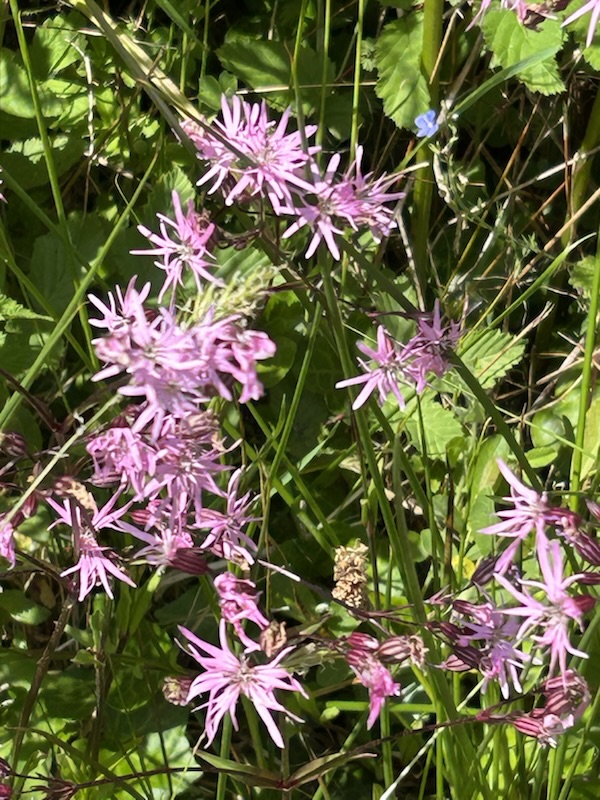
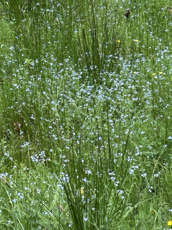
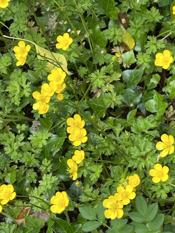
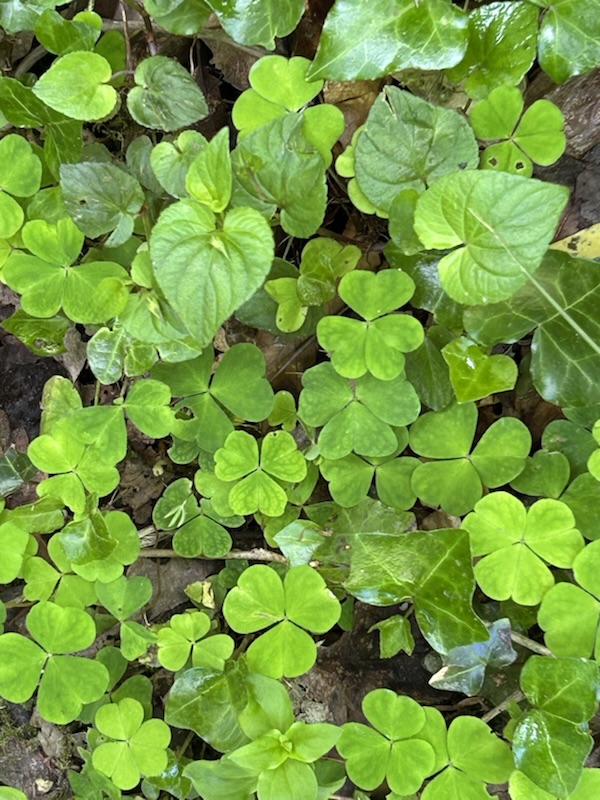
More beautiful flowers & the classic shamrock.

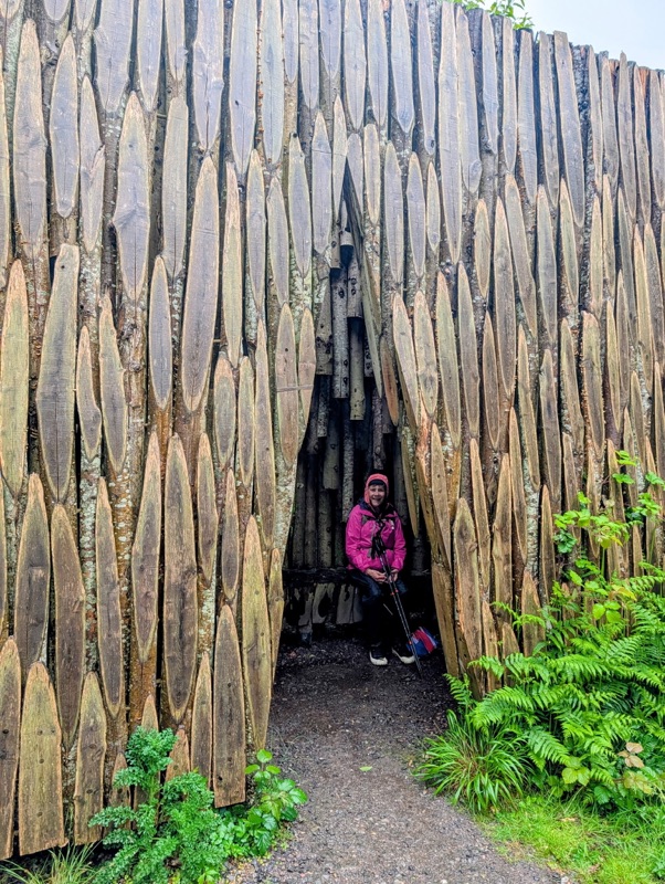
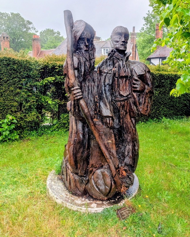
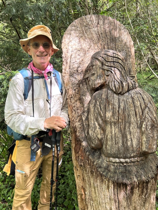
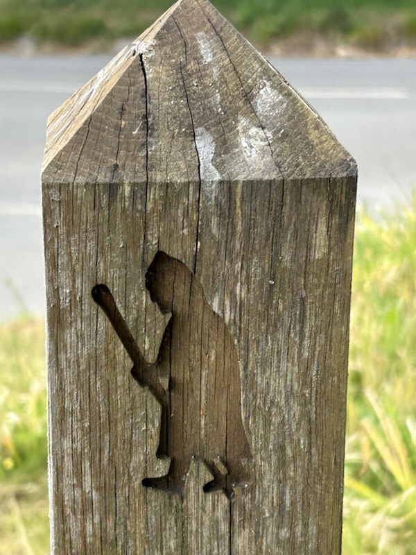
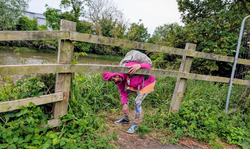
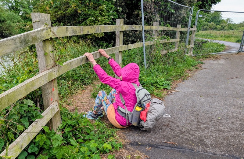
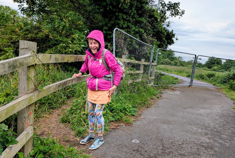
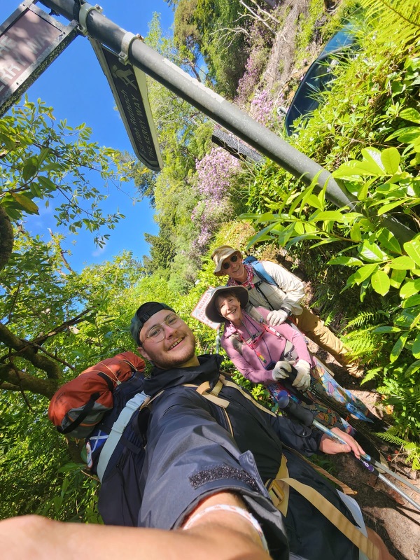
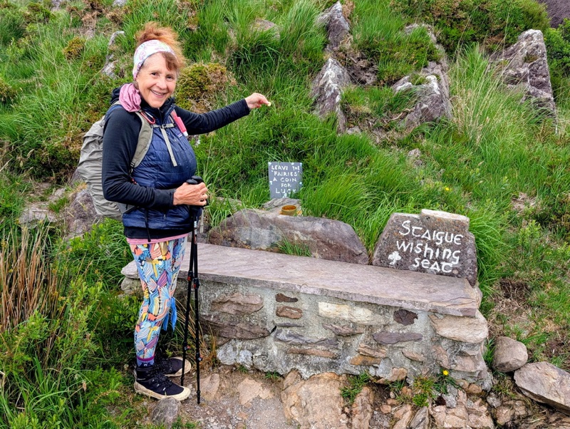
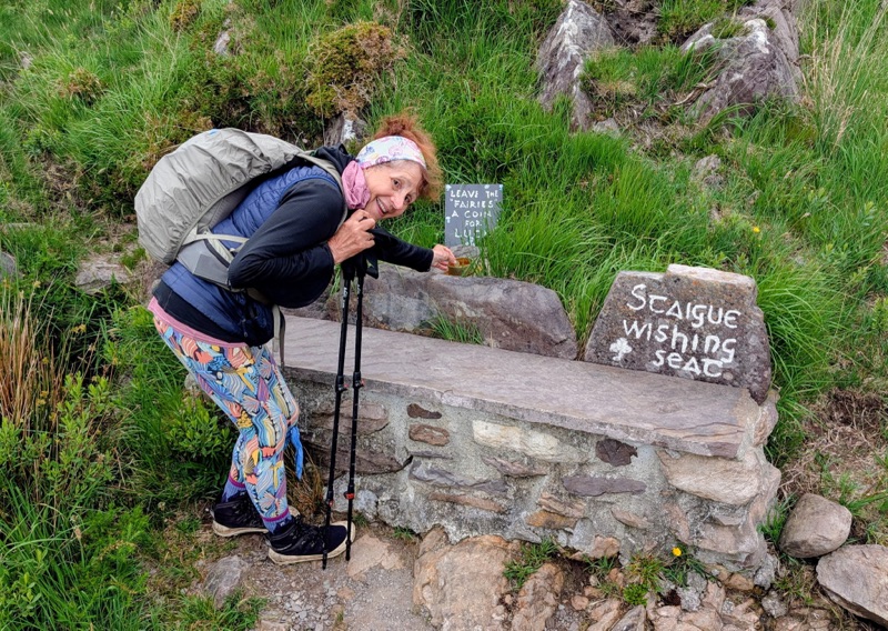
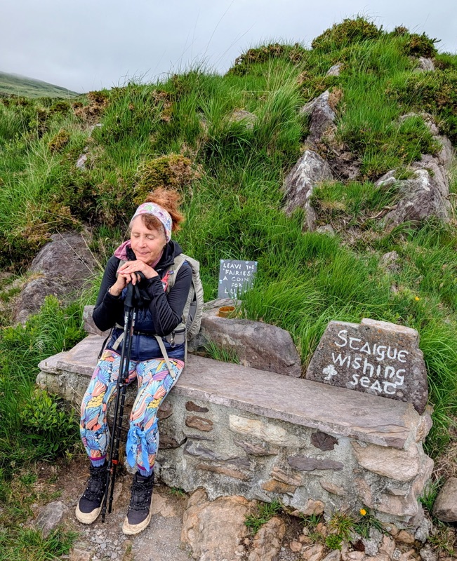
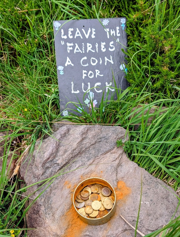
Going up one hill we came across this fun fairy stop.

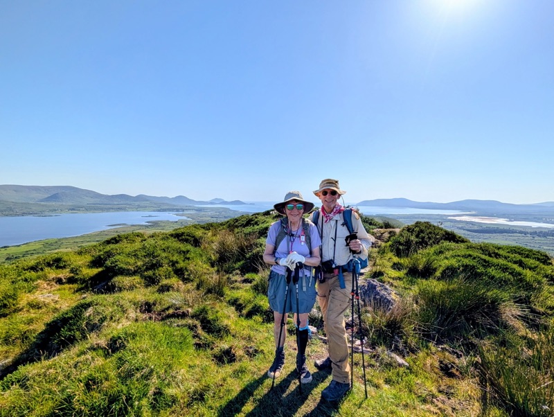
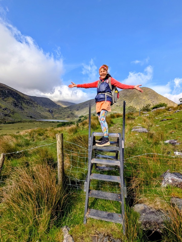
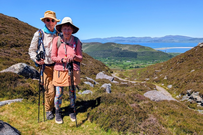
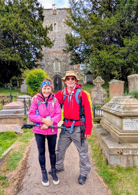
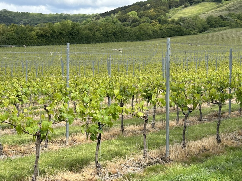
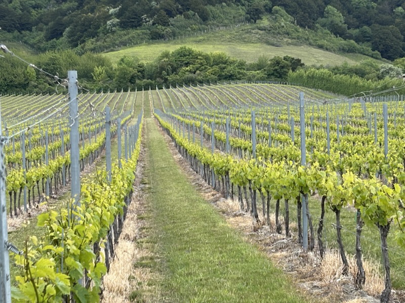
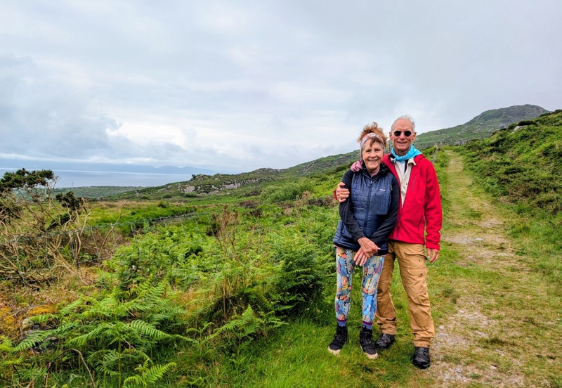
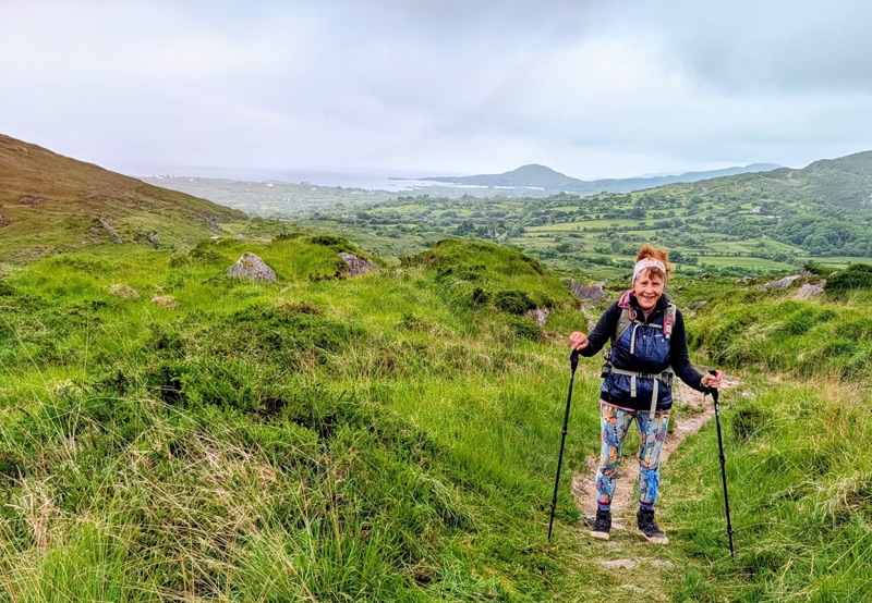
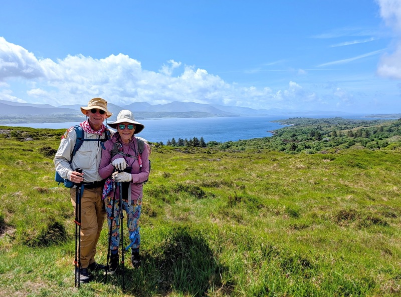
This day met all my expectations for what I wanted to experience on this walk- meeting nice people along the way, seeing the lush green pastures giving Ireland its Emerald Island nickname, & enjoying the low cloud blanket in the sky keeping the temperature cool.

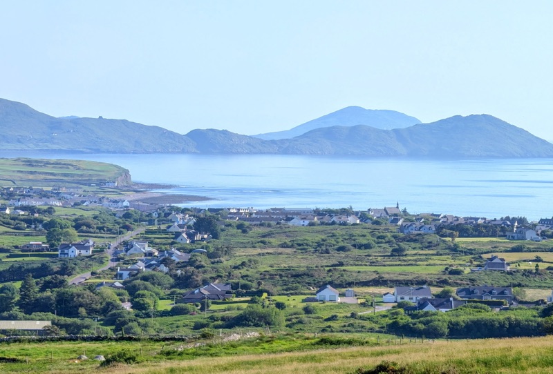
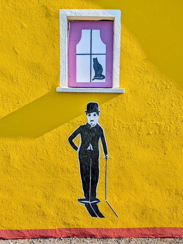
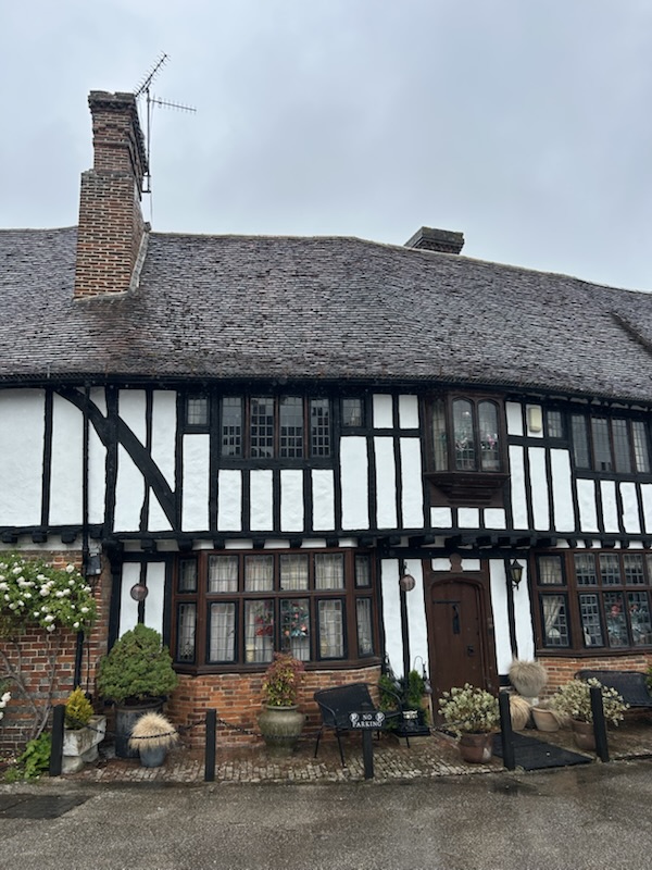
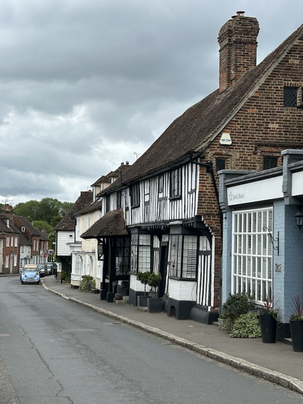
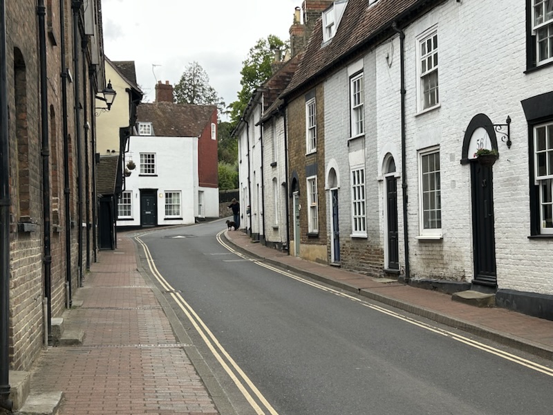
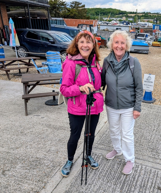
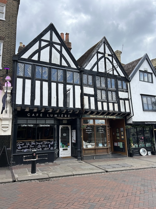
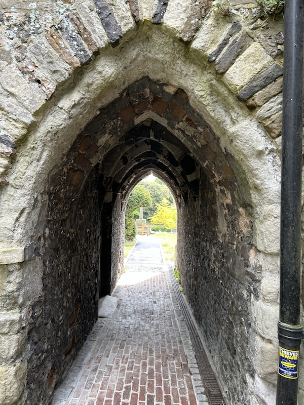
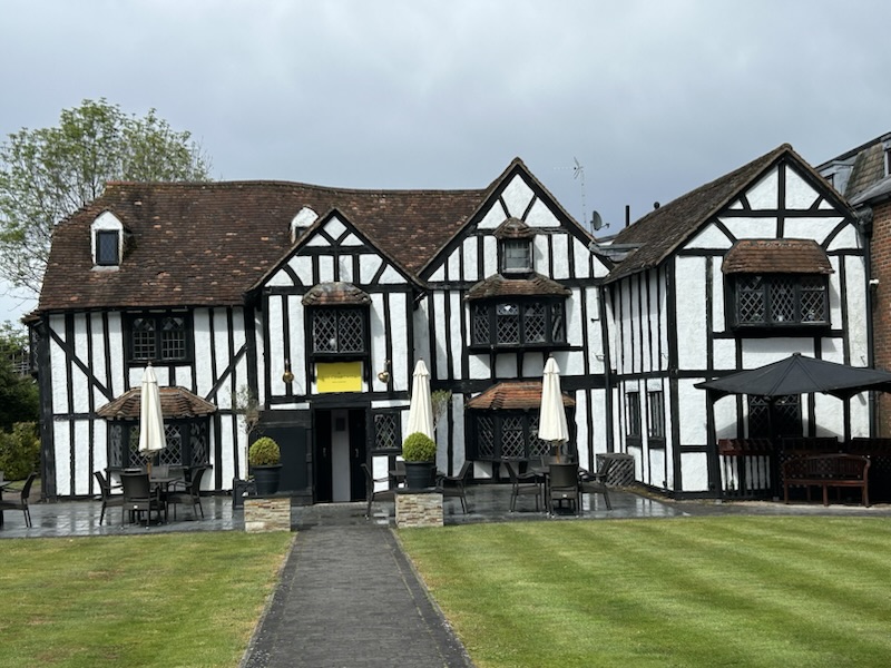
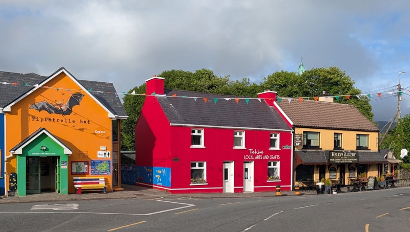
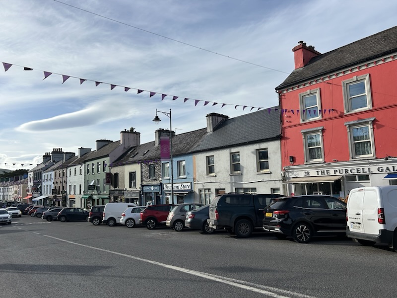
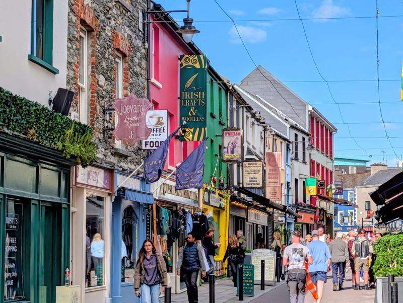
We arrived into Sneem which is a small village renowned for its brightly painted, colorful buildings. We had a lovely time there,

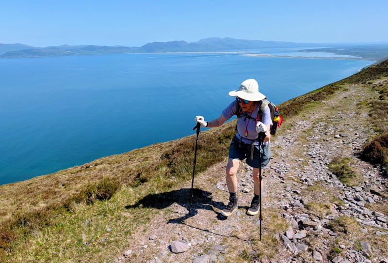
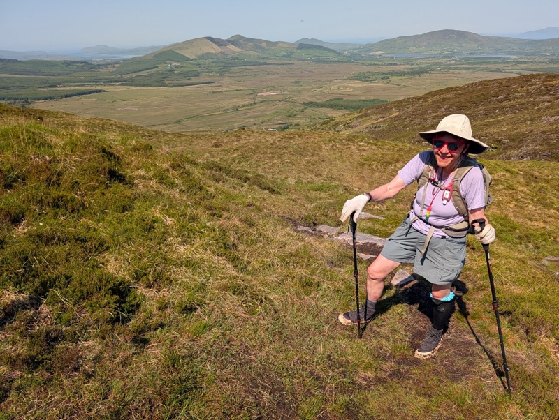
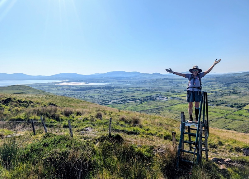
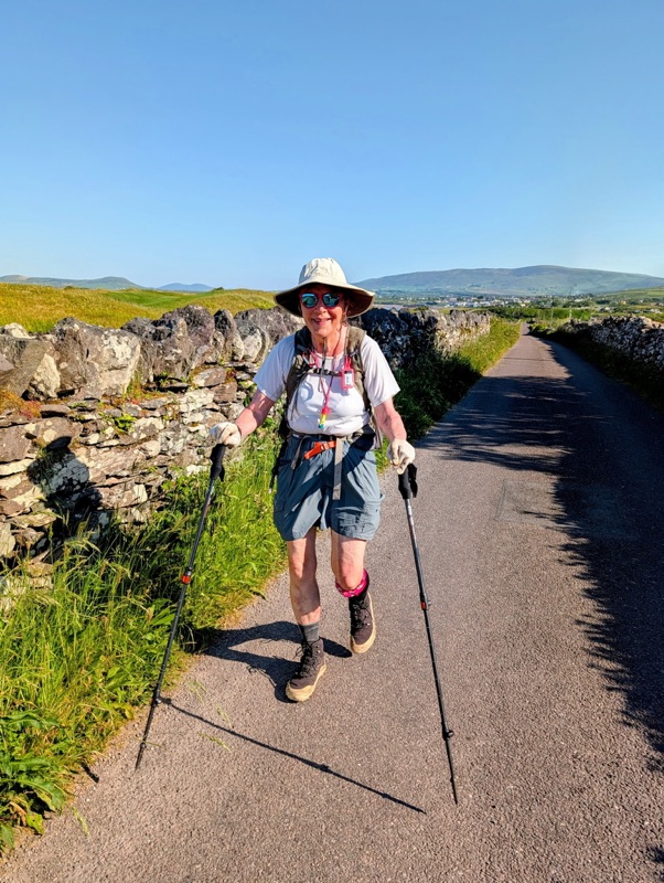
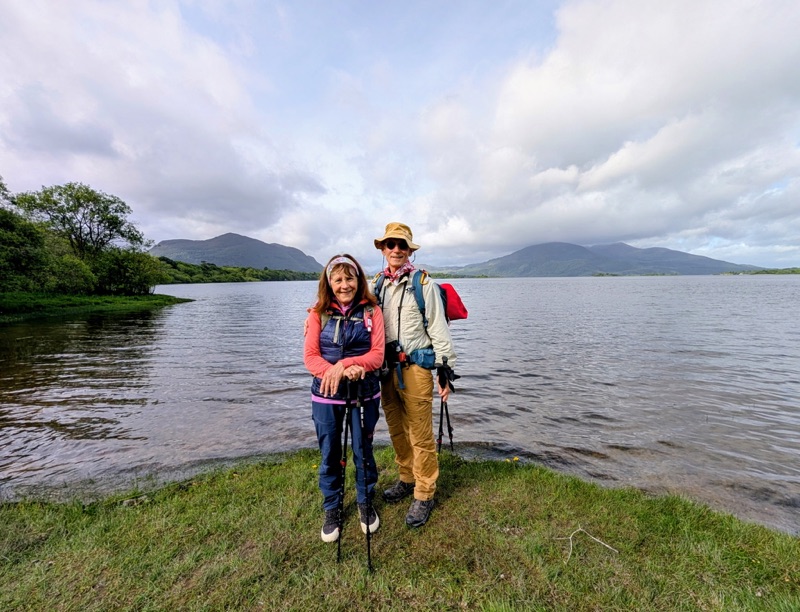
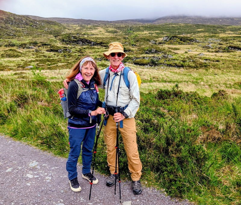
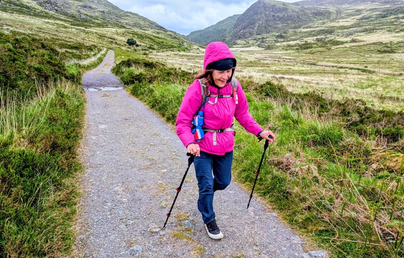
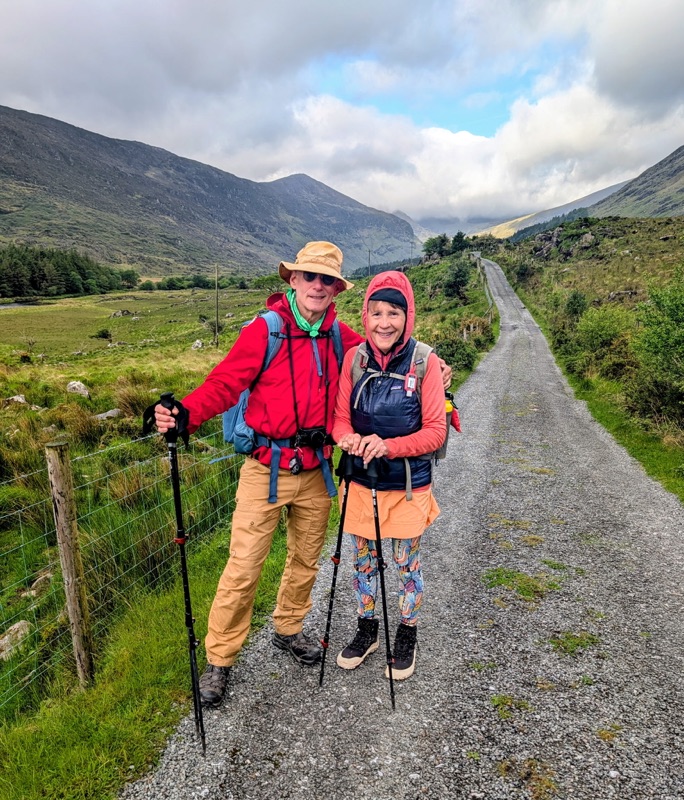
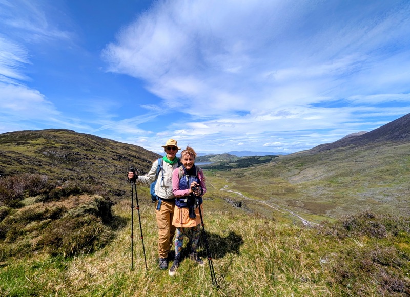
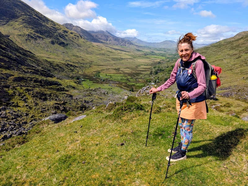
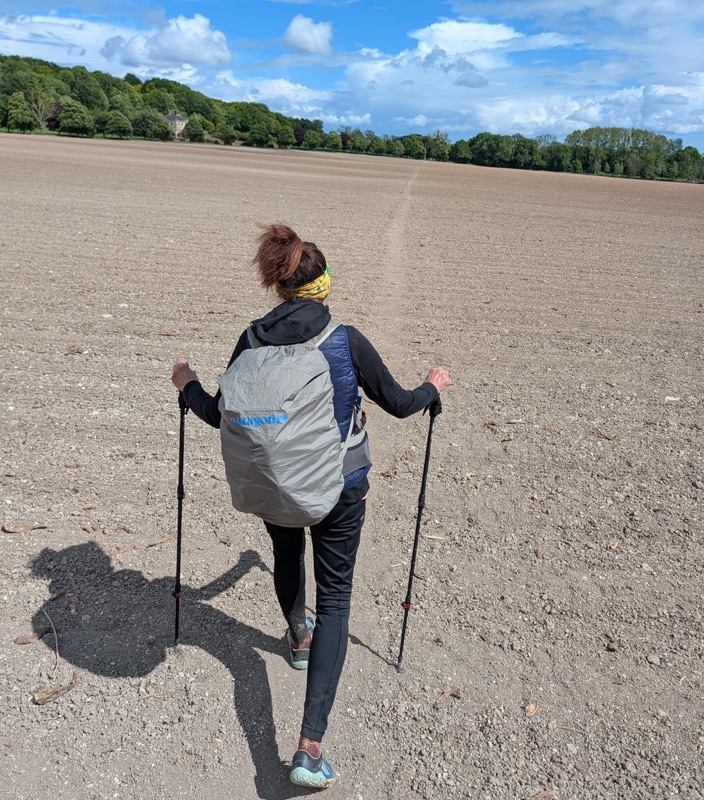
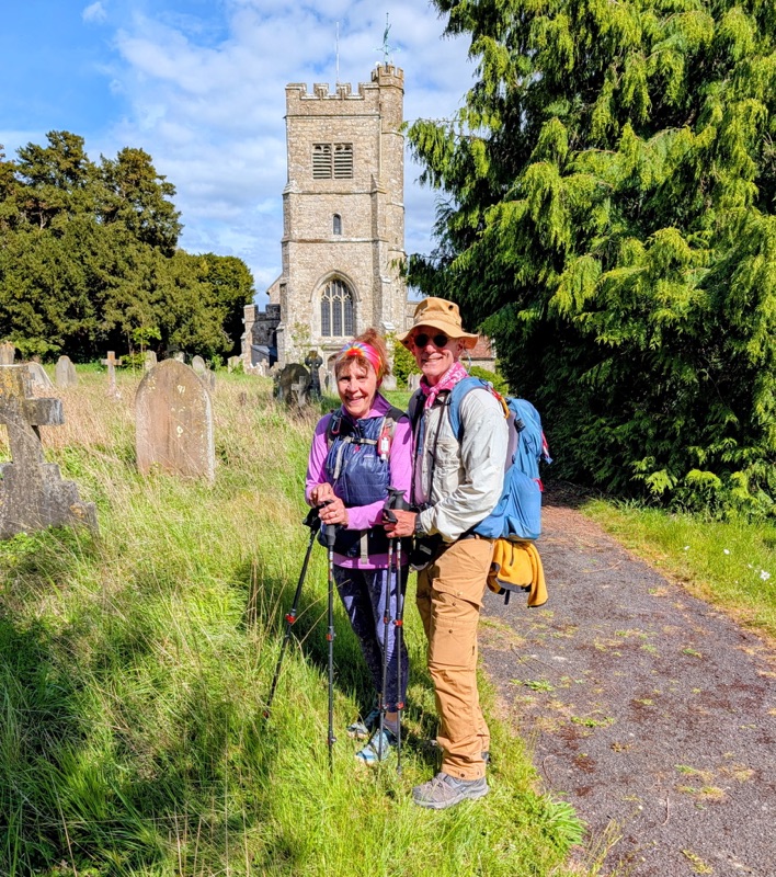
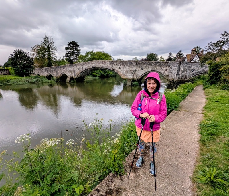
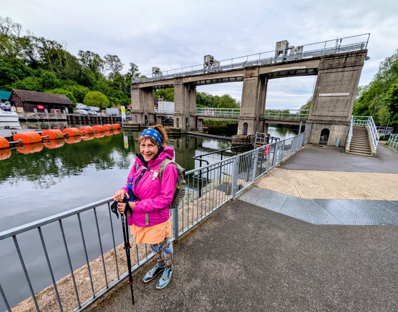
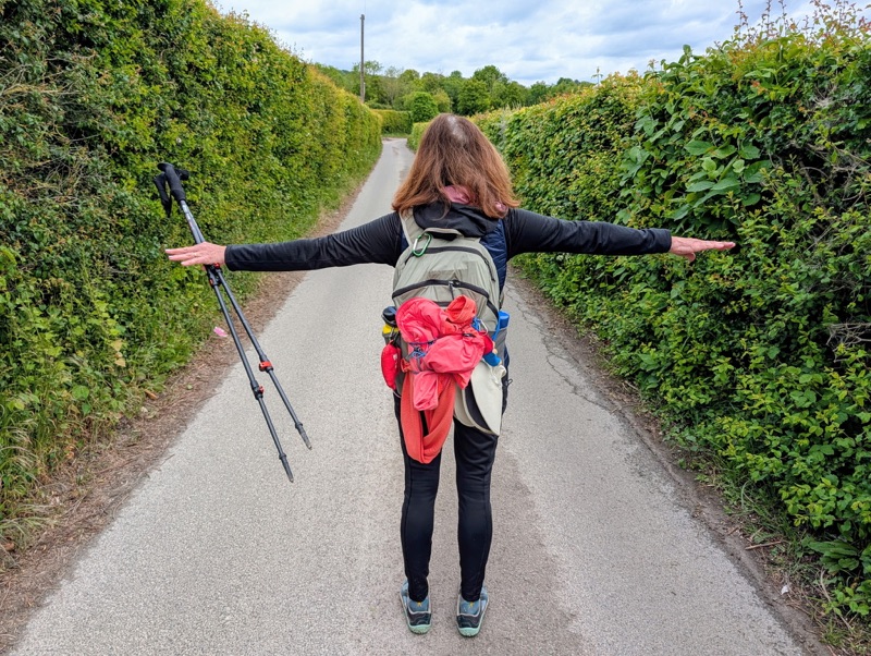
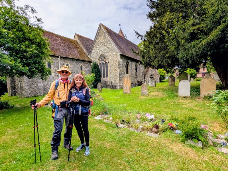
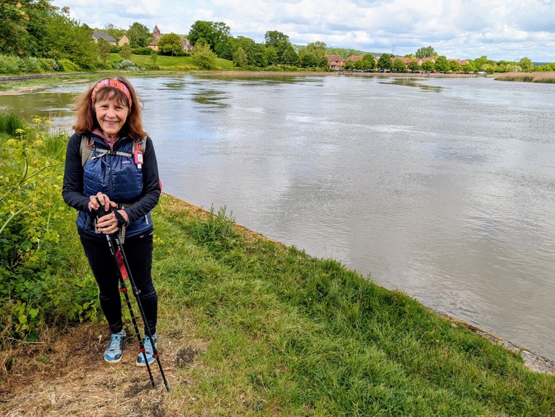
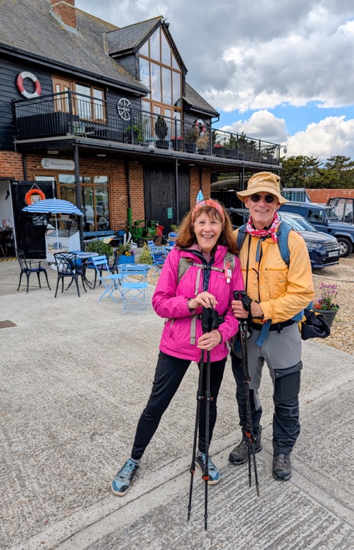
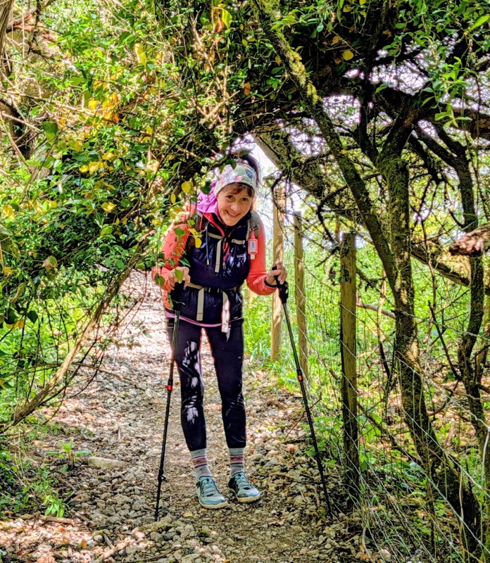
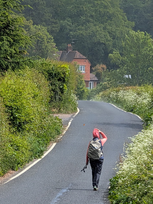
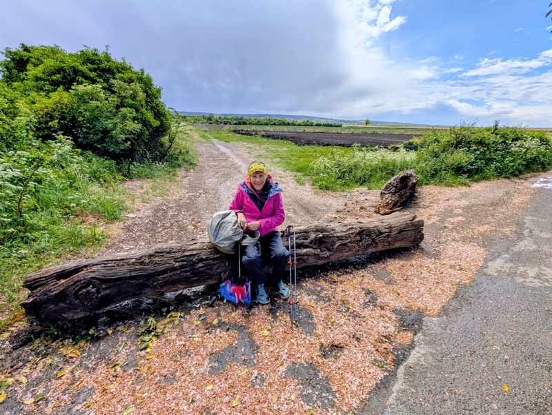
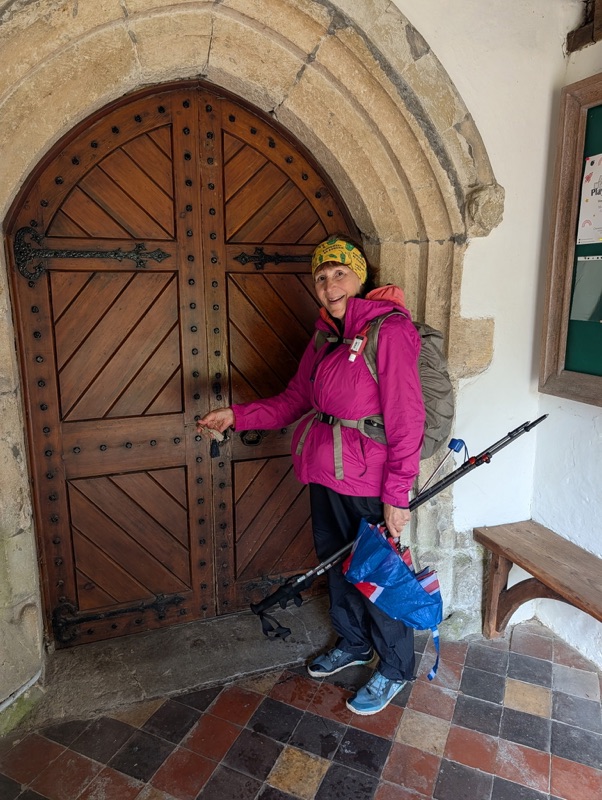
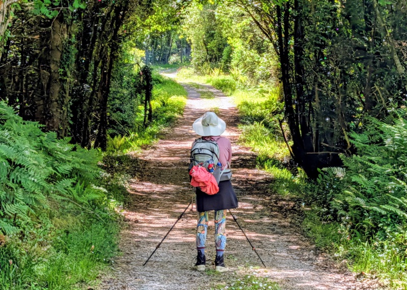
Day 8 was scheduled to be close to 20 miles going up & down many hills. However, I knew I was not up to this task. We enjoyed the first half on the trail before requesting a taxi pickup.

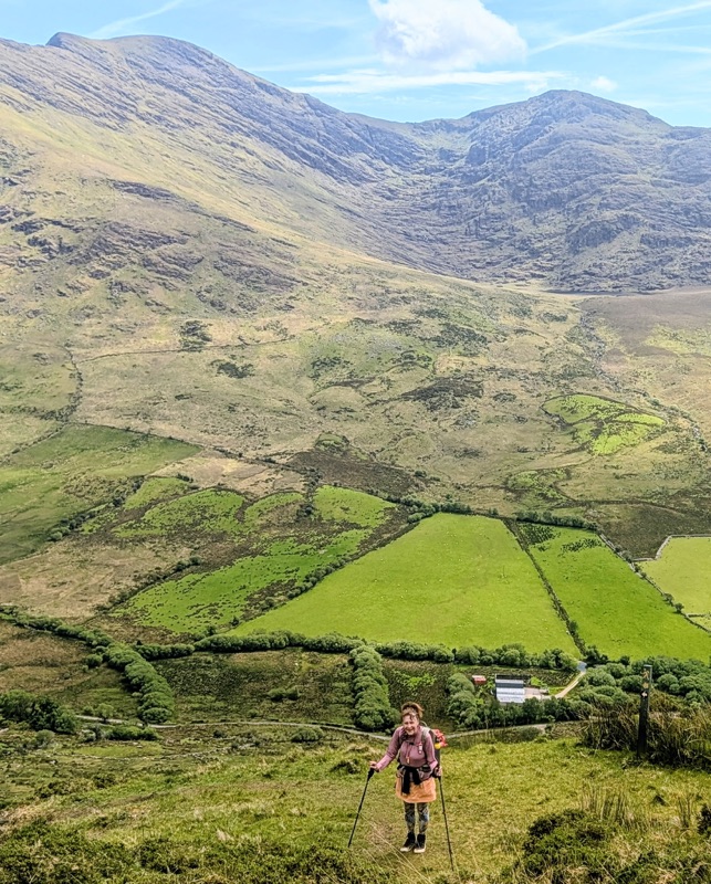
On Day 3, I started having pain in my left knee. Then, by Day 5, I also had sharp pains in my left heel. Both these nagging injuries forced me to walk at a much slower than normal pace, so I knew this would be our last hiking day.

Fortunately, the weather was very nice with partly cloudy skies & not hot.

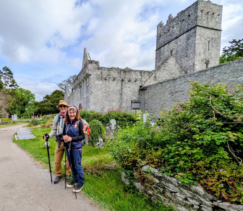
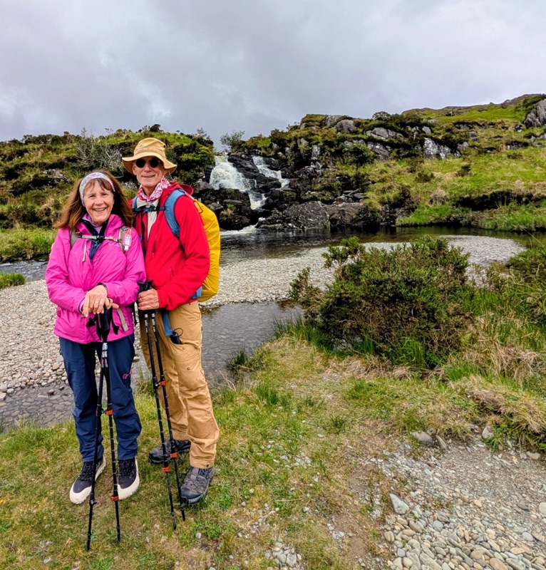
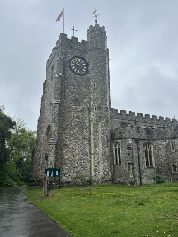
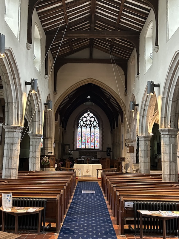
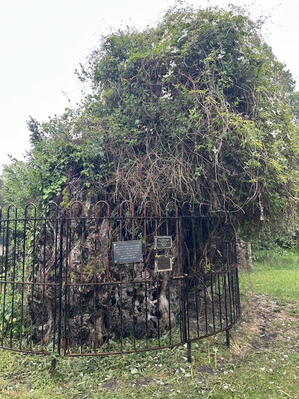
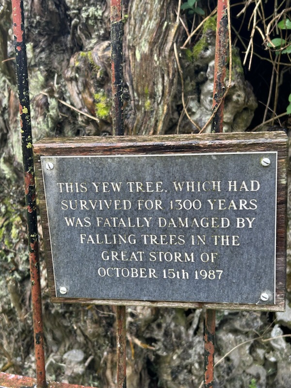
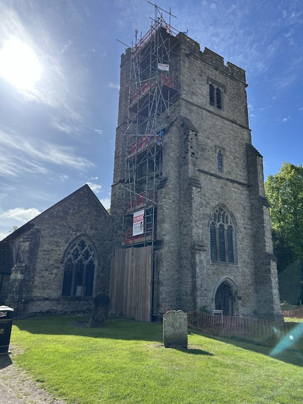
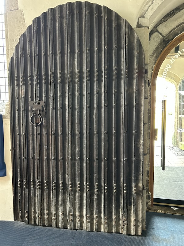
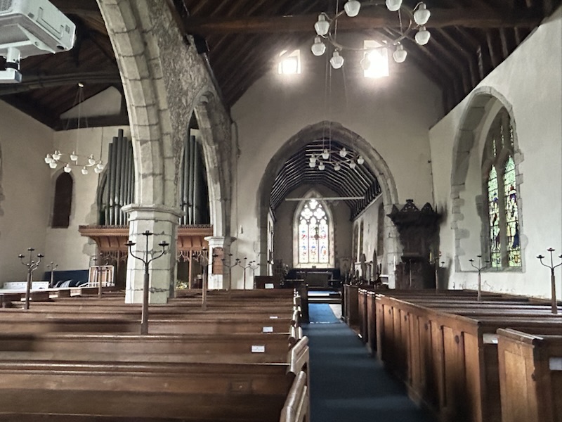
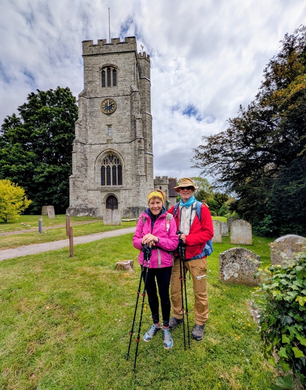
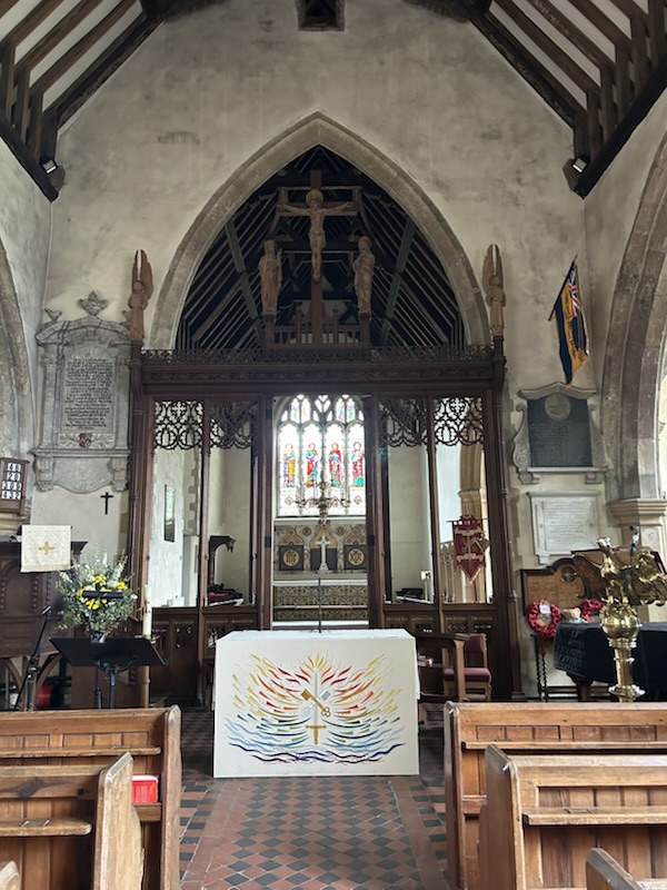
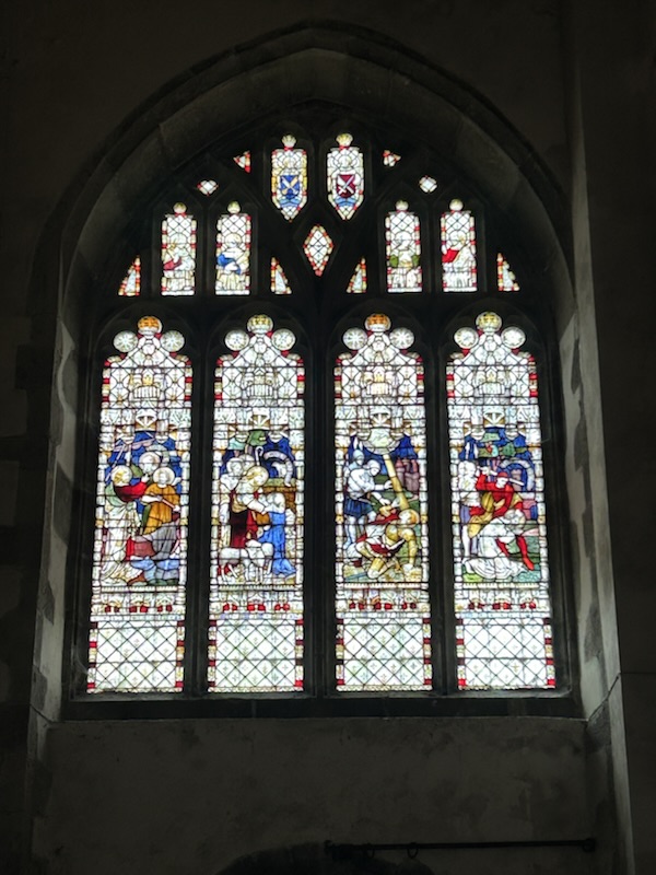
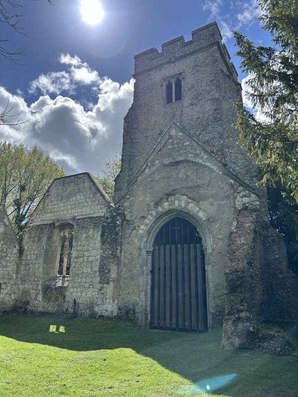
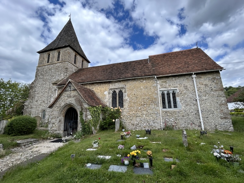
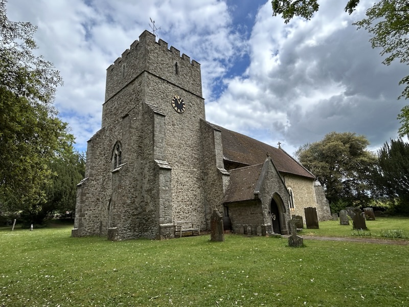
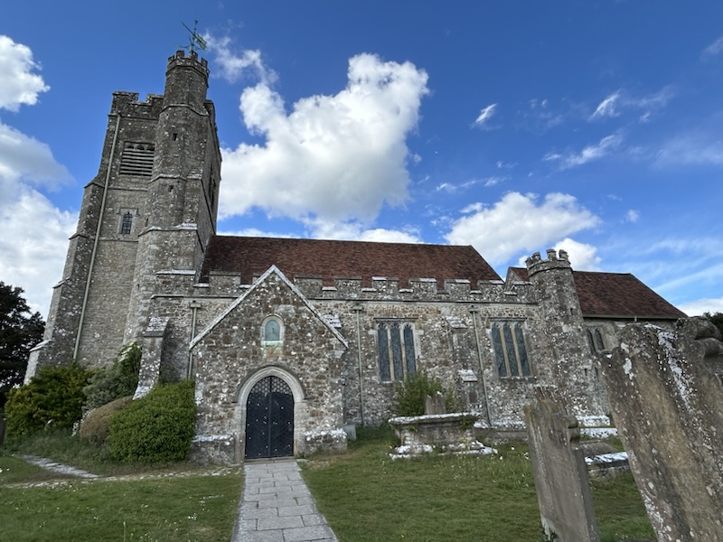
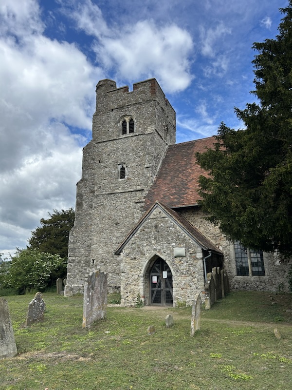
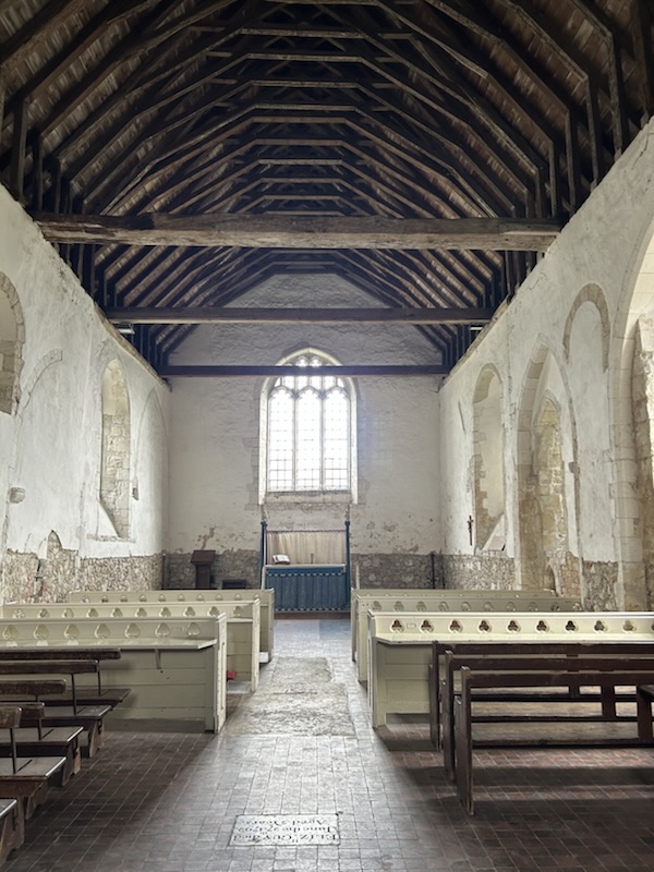
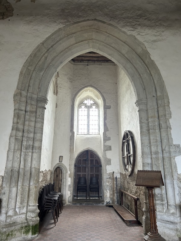
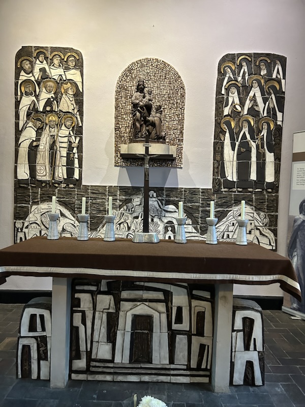
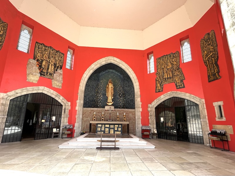
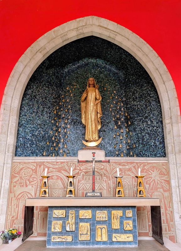
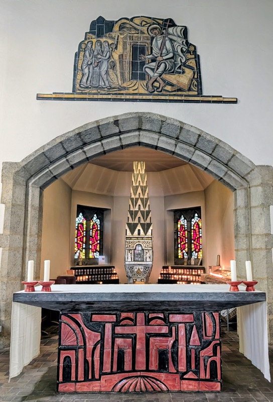
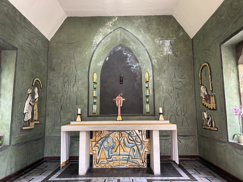
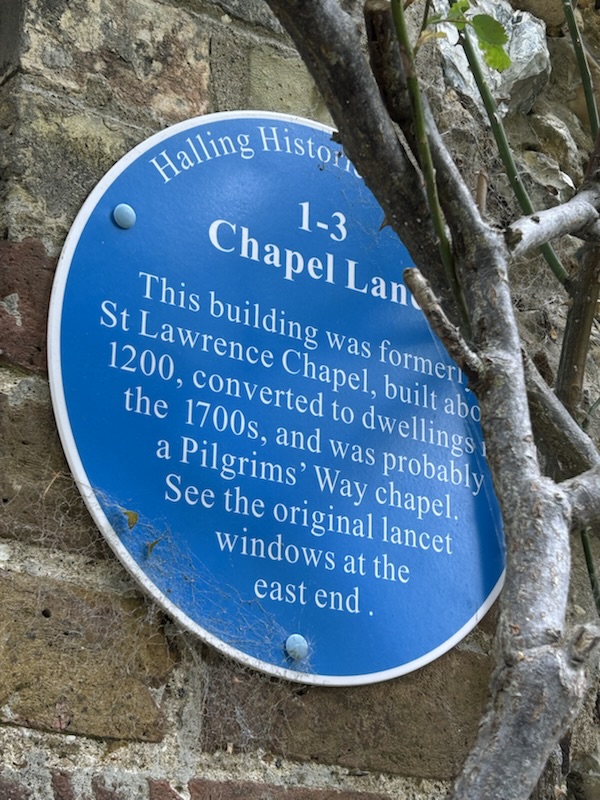
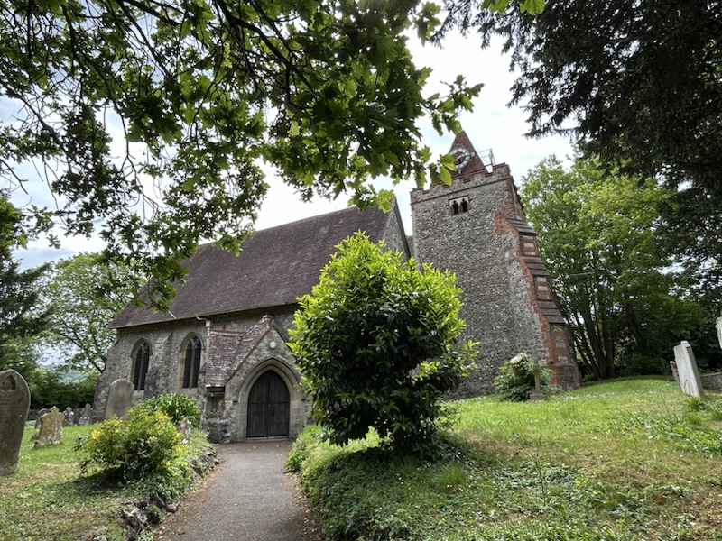
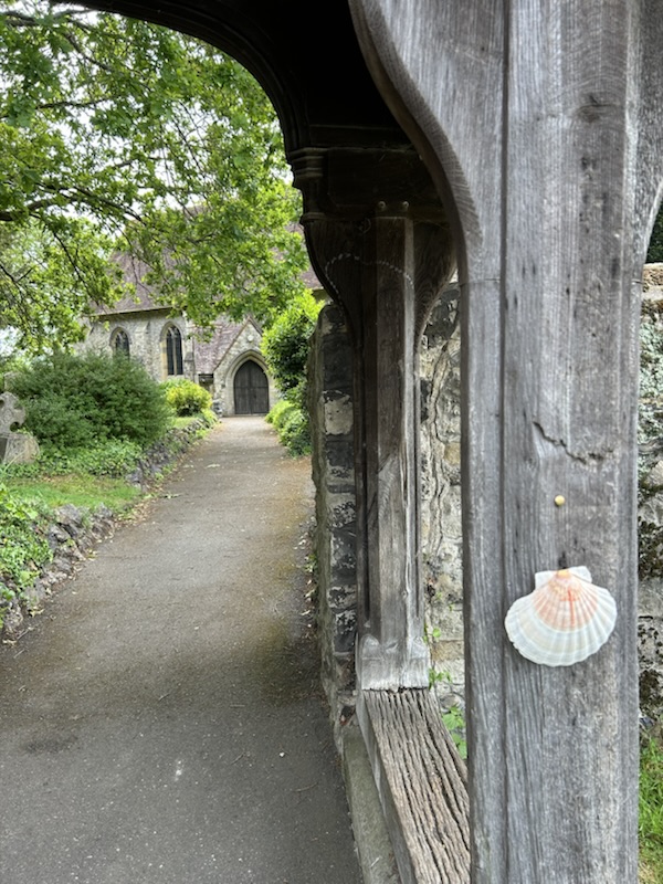
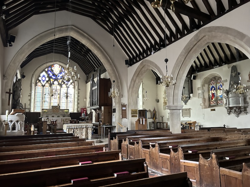
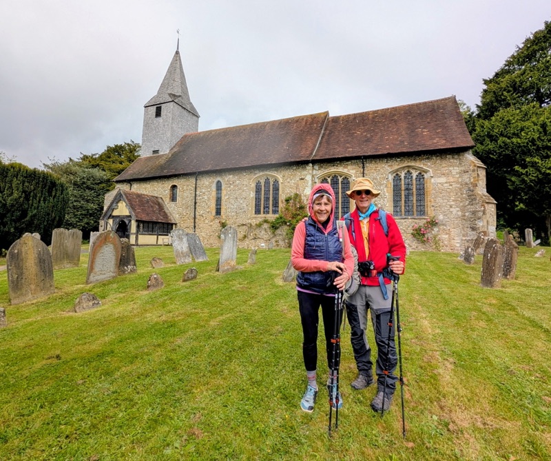
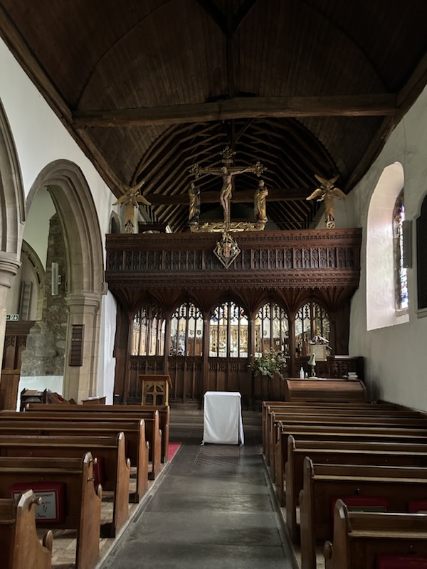
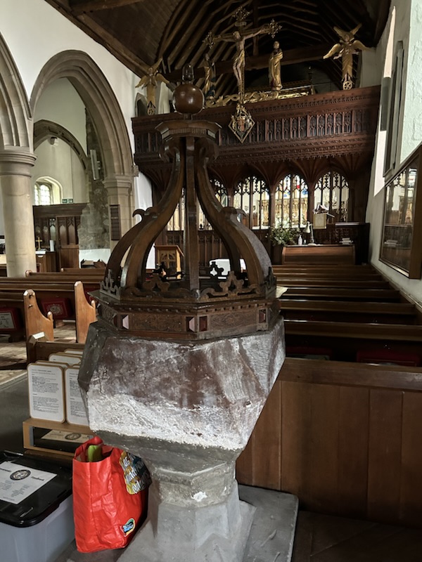
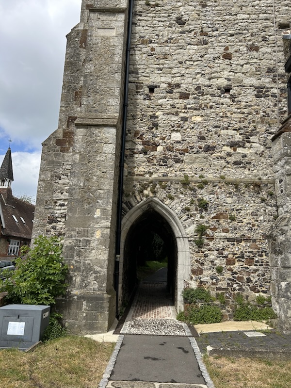
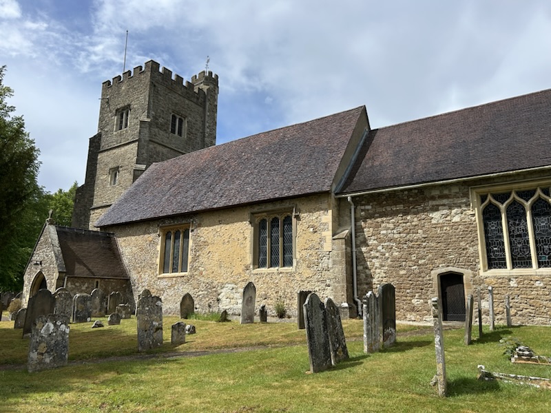
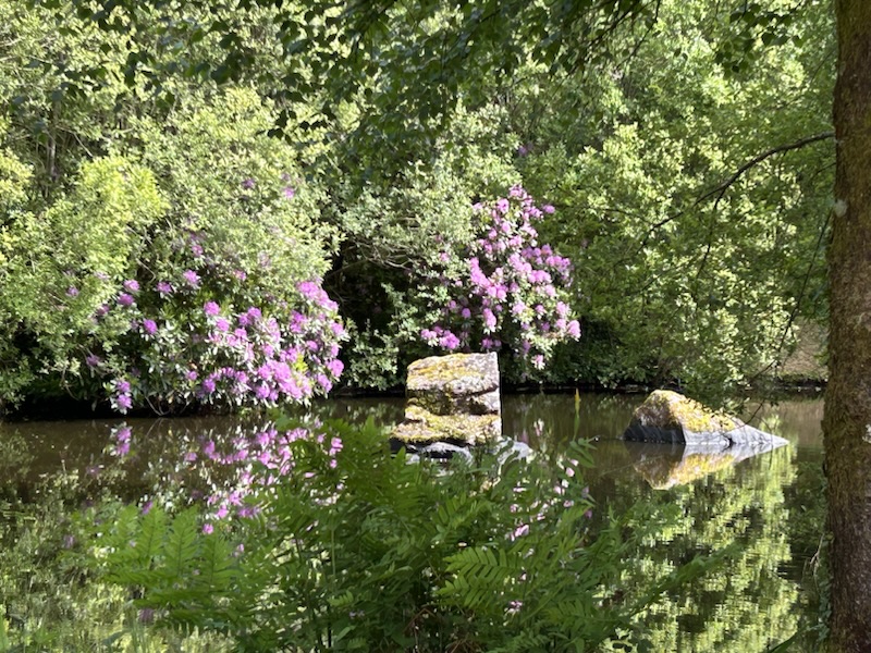
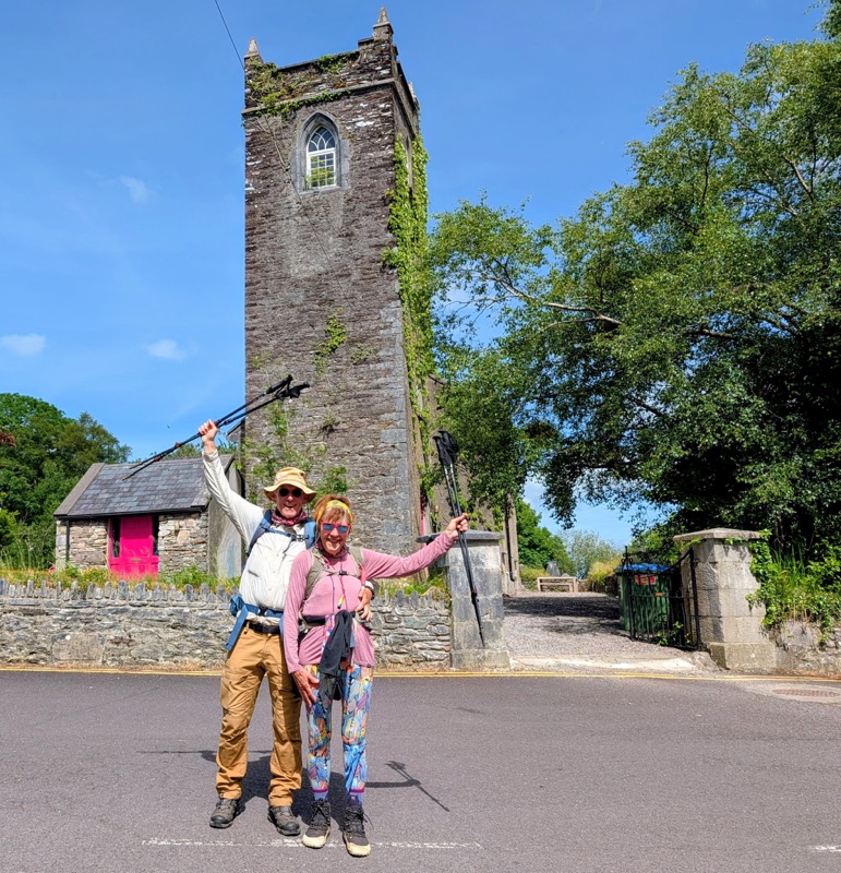
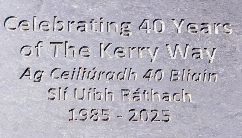
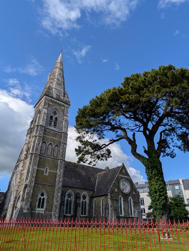
This walk took us past Old Devonian Red Sandstone formations that are the among the oldest rocks in Ireland. We then enjoyed a lovely walk through the trees near the water. We ended our Kerry Way walk at the Templenoe Church.

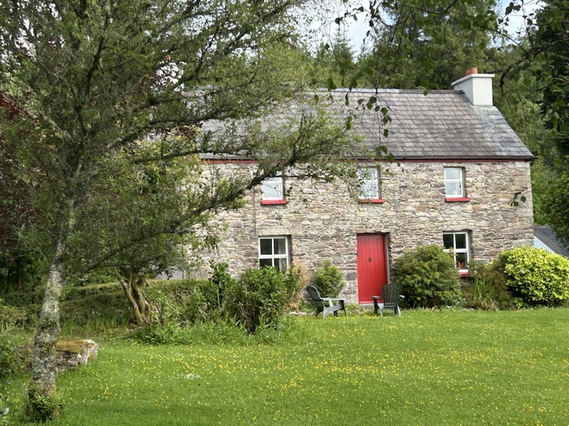
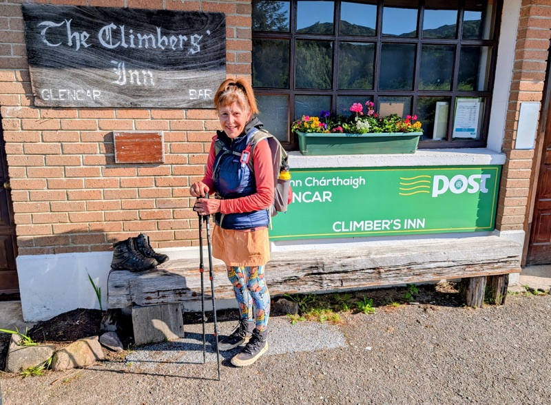
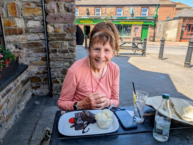
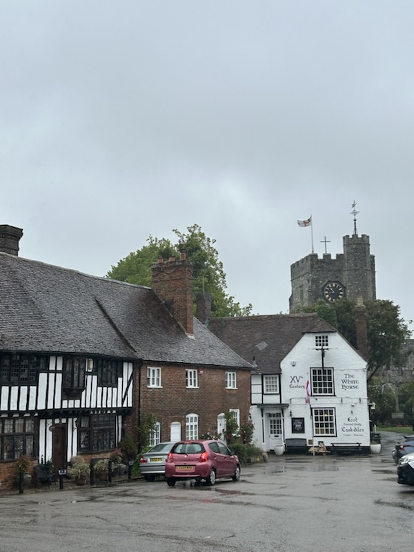
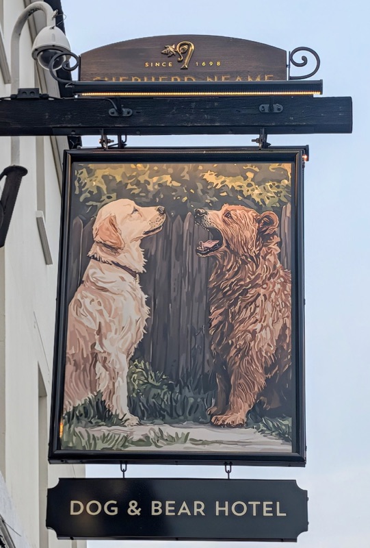
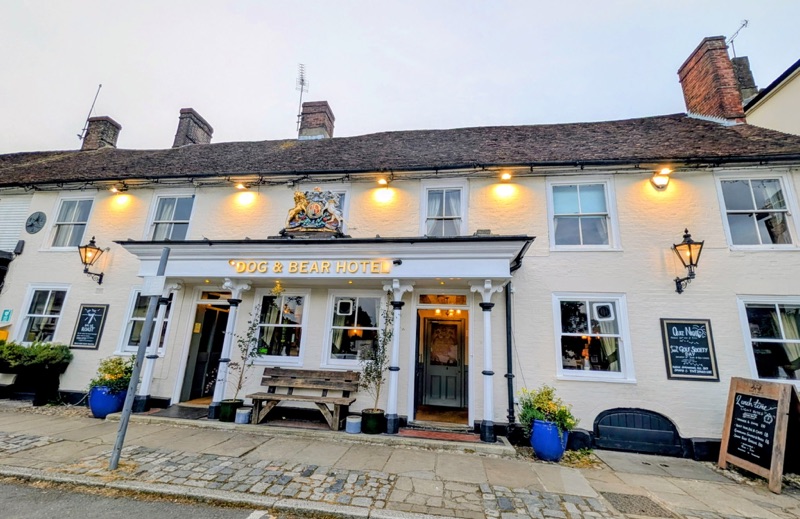
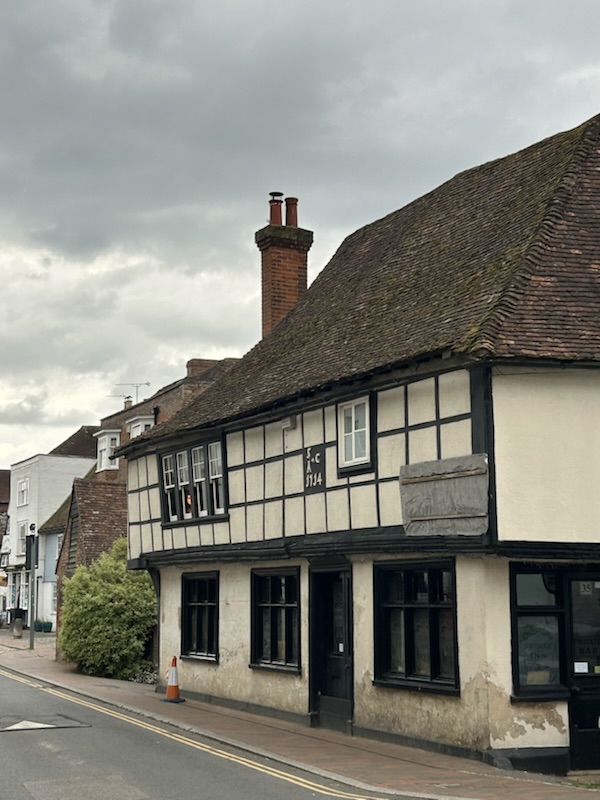
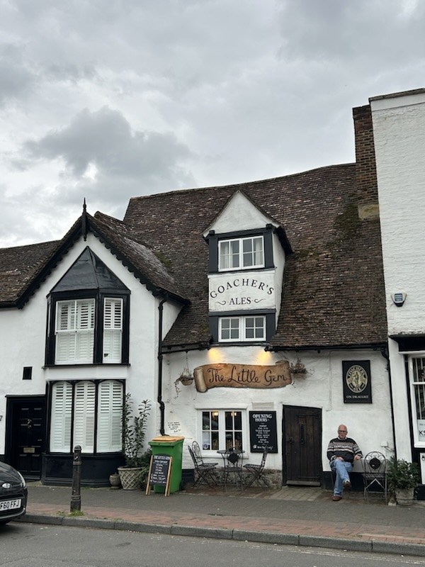
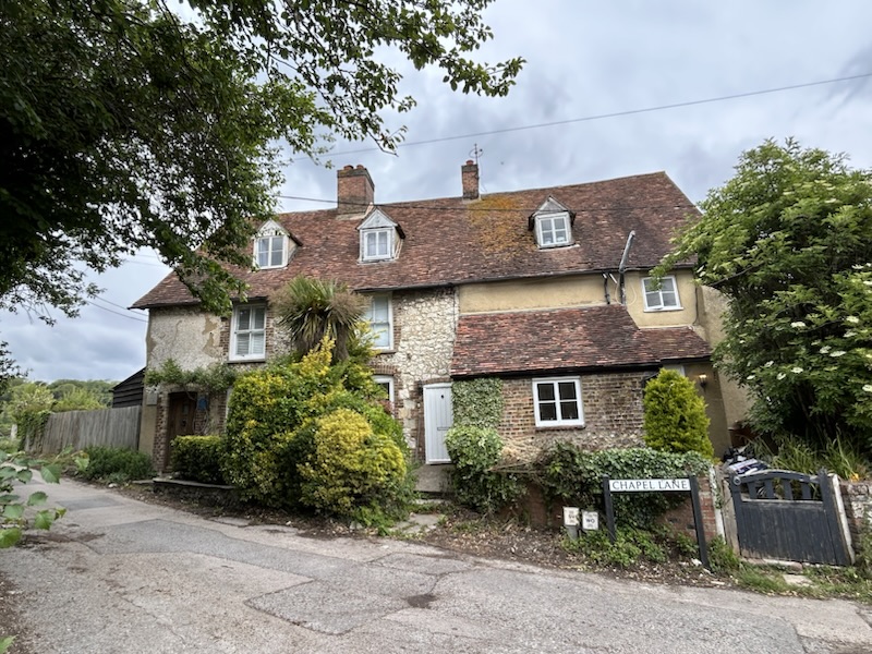
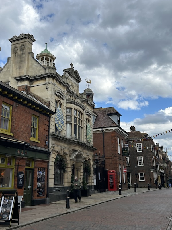
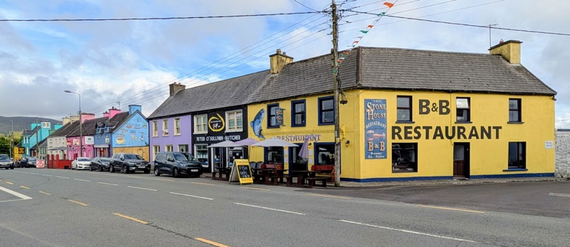
We spent our last night on the Kerry Way in the charming Irish town Kenmare.

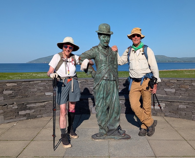
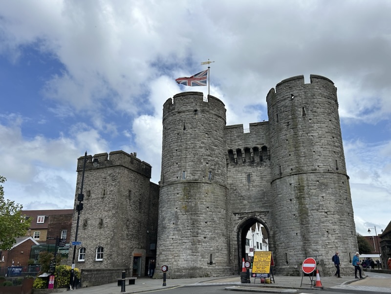
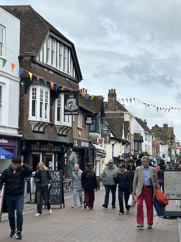
After a nice breakfast on Day 9, we boarded the bus back to Killarney.

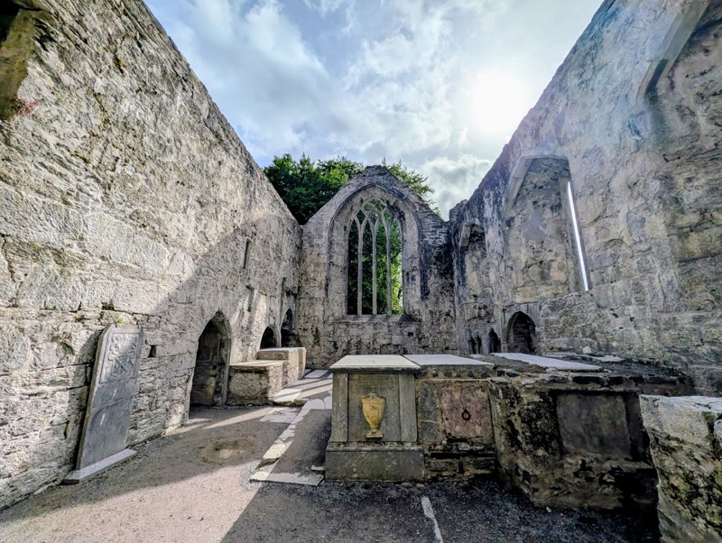
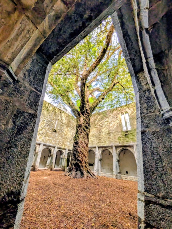
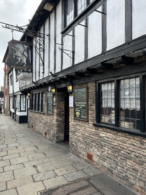
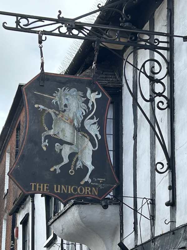
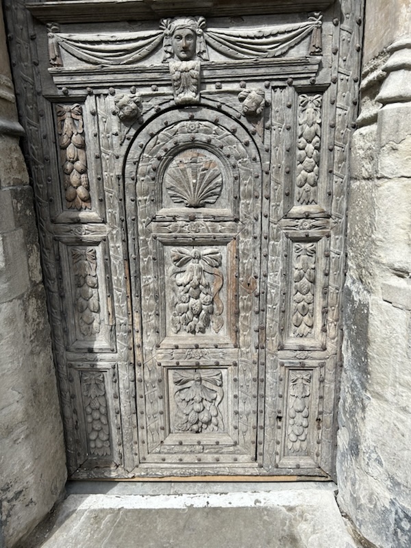
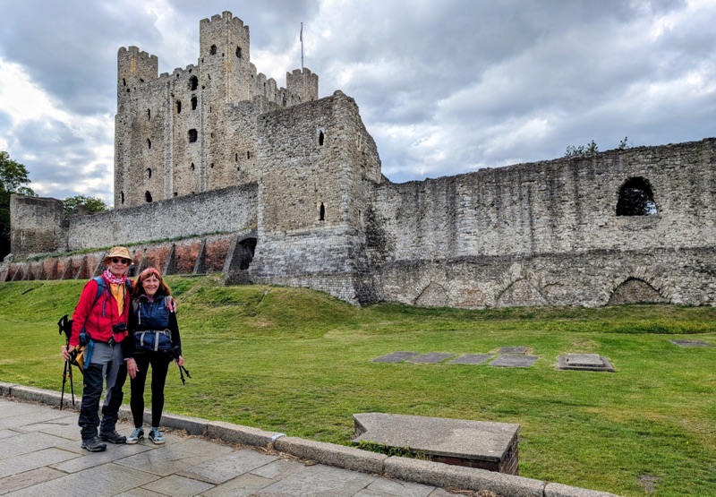
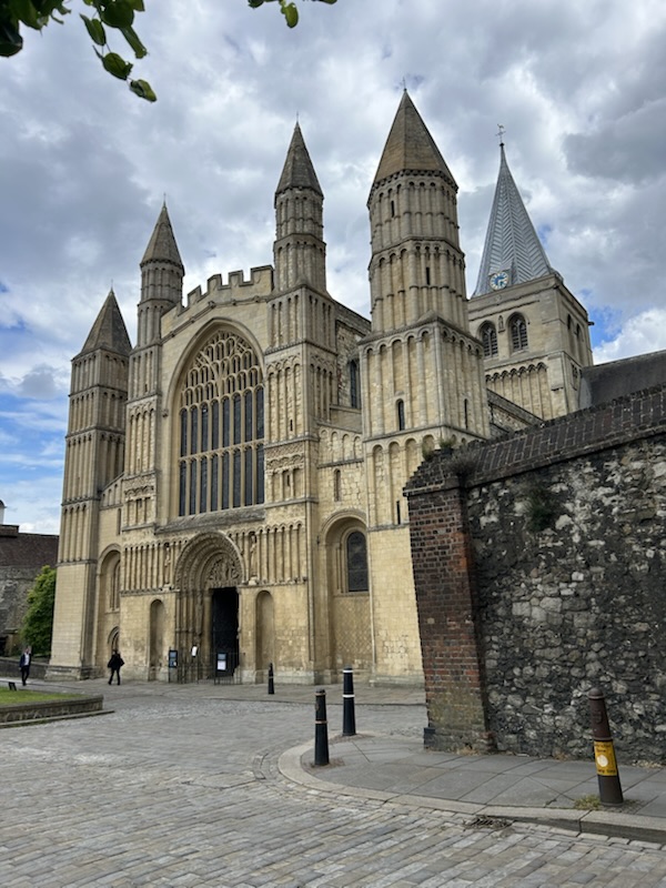
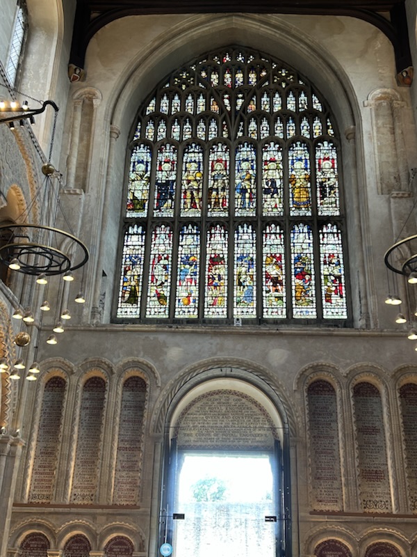
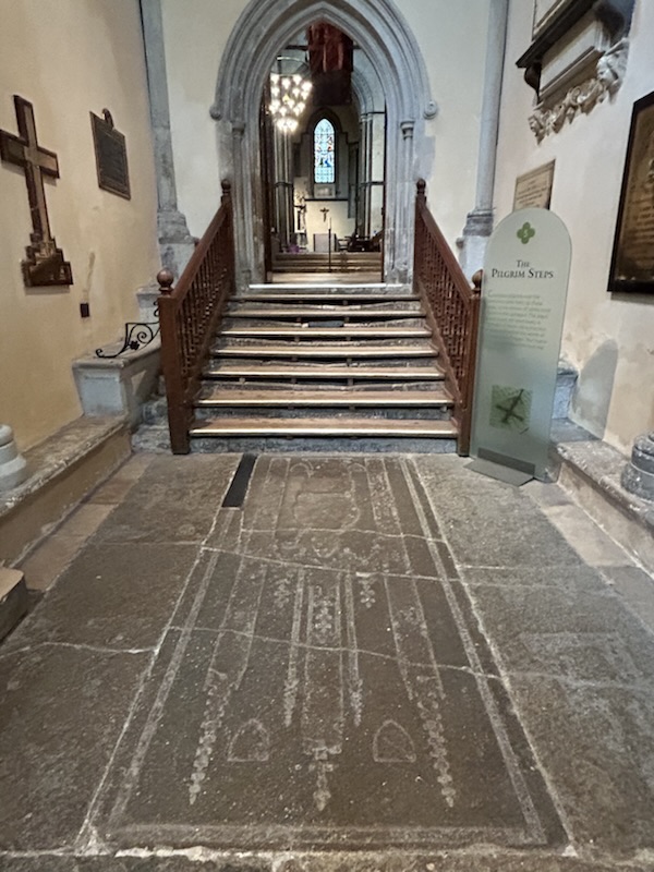
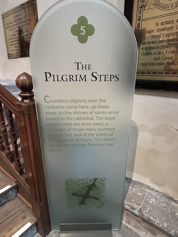
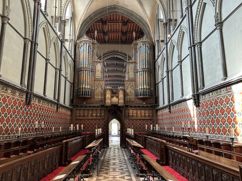
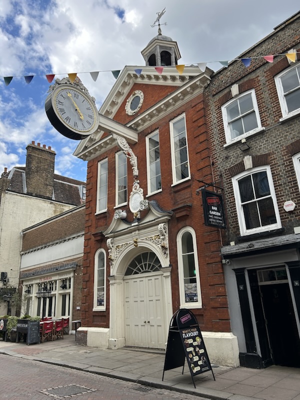
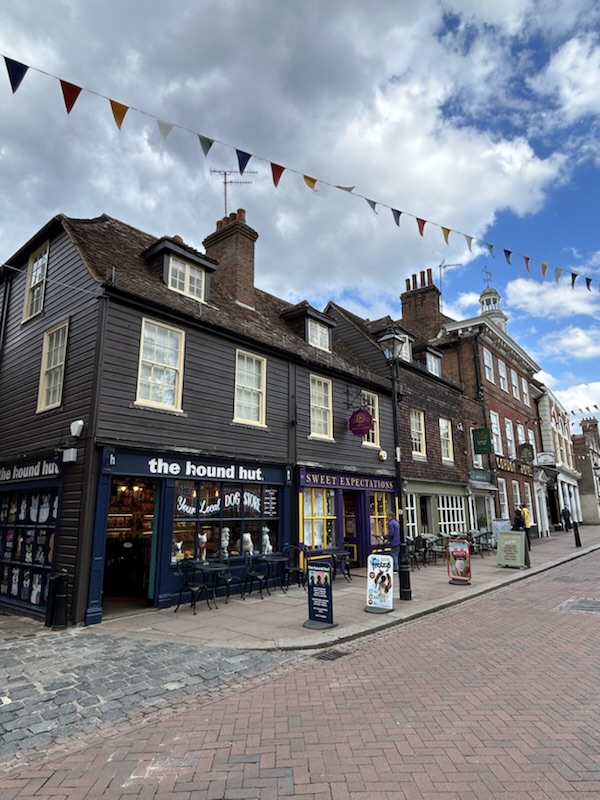
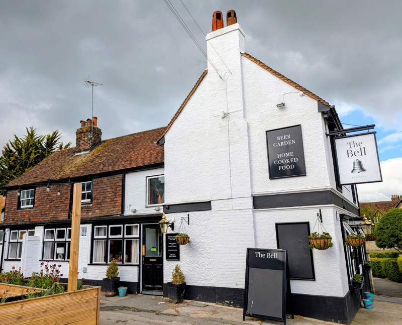
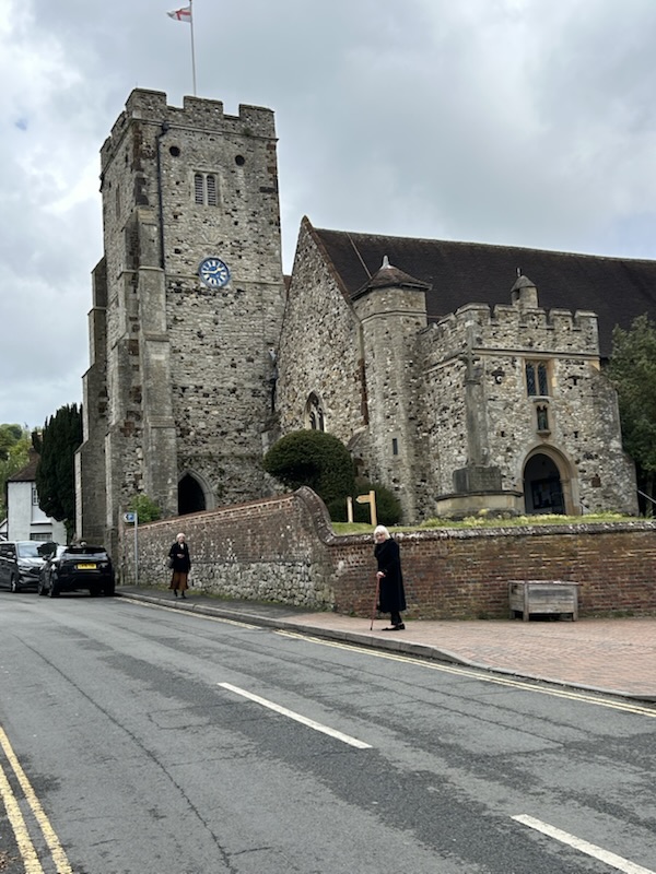
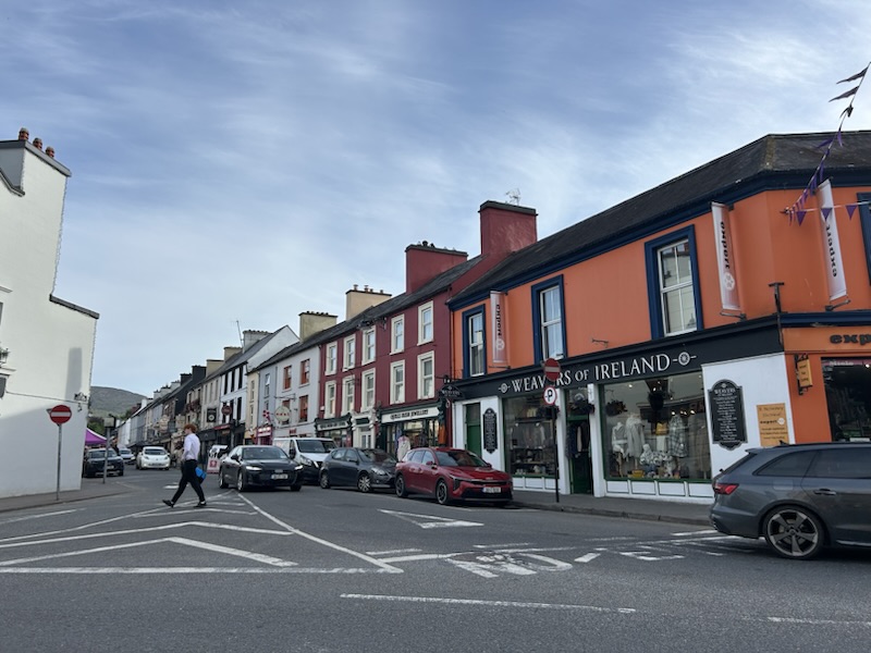
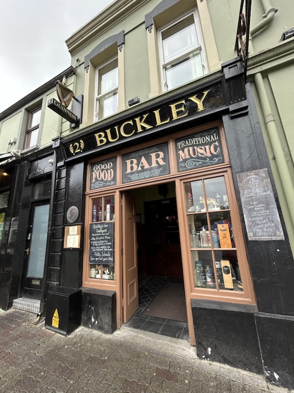
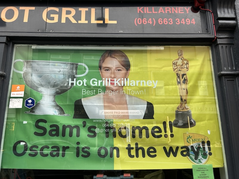
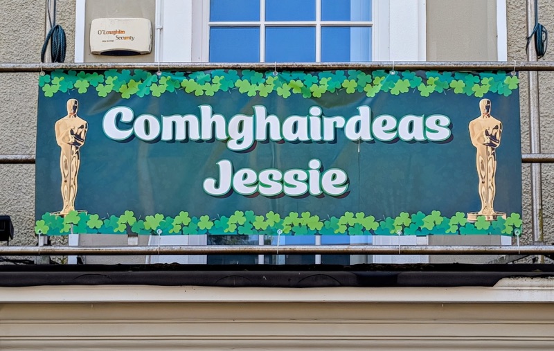
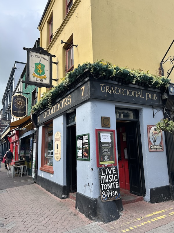
Killarney is a must stop for most tourists to Ireland. It’s your classic Irish town. The town is very proud of their hometown girl Jessie Buckley who won the Best Actress award at the Oscars this year. A local man told us her family still owns & runs the pub in town with their name.

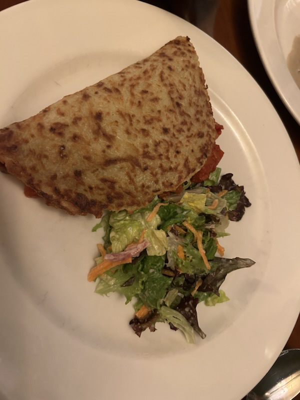
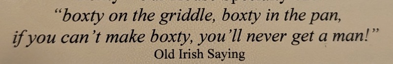
For dinner, I enjoyed a Boxty which is a potato pancake stuffed with whatever you want- meat, chicken, cooked vegetables

Walking Ireland’s Kerry Way – Part 2

Day 4 – Glenbeigh to Cahersiveen- 17.6 miles

Day 5 – Cahersiveen to Waterville- 14.1 miles

Day 6 – Waterville to Caherdaniel- 13.2 miles

These three days can be described as follows : breath taking views, big blue skies, & extremely hot for Ireland. In fact, we even experienced Ireland’s hottest day ever recorded for 26 May at 83 degrees F.

This weather is wonderful for visiting the beach; but, but not so great when hiking up & down Irish mountains; but, fortunately, we always had incredible views.

The fauna here is so beautiful. Yes, lots & lots of green everywhere; but, beautiful flowers as well.

Walking through the soggy bogs that are everywhere on the trail, we know there will always be this grass called Purple Moor Grass. It feels like straw & many times, it has been a big help to step on to keep your shoes out of the muddy bog water & muck.

Day 4 Highlights:

Most of the day, the trail was on the old stagecoach road. Down below, we could see the popular Ring of Kerry highway driven by many tourists.

Day 5 Highlights:

This was by far one of the harder hiking days. Not only did we hike up mountain passes that ONLY a mountain goat would love; but also, it was 83 degrees F. Plus, there were way too many false summits on the path making you think you were at the top… only to find you were not! 🤣

Day 6 Highlights:

Other than being a very lovely town, Waterville was once the summer home for Charlie Chaplin who along with his family spent 10 consecutive summers here starting in 1959.

He is beloved by the townspeople who erected a statue in his honor & the town hosts an annual Charlie Chaplin Comedy Festival which is endorsed by his family.

This was one of the prettiest days on our hike. We were told by a local man that we were lucky to be able to see all the far islands including the Skellig Islands which is a UNESCO World Heritage site.

Skellig is derived from the Gaelic language meaning “Splinter of Stone”.

Skellig Michael is known for its Gaelic monastery dating from the 6th Century; but, probably became most famous in the Star Wars sequel movies as the location where Luke Skywalker lived in self-imposed exile.

Walking Ireland’s Kerry Way – Part 1

Day 1 – Killarney to Black Valley – 17.5 miles

Day 2 – Black Valley to Glencar – 15.5 miles

Day 3 – Glencar to Glenbeigh – 10 miles

Without a doubt, Ireland’s Iveragh Peninsula is a beautiful place.

The last time I was here was in July 1985 when my husband & I rented a tiny little Fiat Punto car & drove around Ireland including the Ring of Kerry with my parents. This time we are using our own two feet taking the slower route hiking the Kerry Way.

The first day took us past the Muckross Abbey which was closed in 1541 by Henry VIII’s decree, then was destroyed in 1562 during the English Civil War by a unit from Oliver Cromwell’s New Model Army who deliberately removed the roof after which time the abbey was abandoned. Nearby we saw the lovely old Muckross House mansion which is open to tourists.

From Muckross, we passed the Torc Waterfall which is another popular tourist spot. From there, we left behind all the tourists & made our way for most of the day through forests before walking through very soggy bog fields with some small waterfalls. The sky had been threatening rain all day which finally started falling steadily late in the afternoon before we reached our destination which was a very small farmhouse B & B located in Black Valley which got its name from its murky bogs covered in dark heather.

We arrived just in time for dinner at 6:00 PM. This small place reminded me a lot of the tiny B & B homes in which we stayed in 1985. Back then, my parents were very amused about how you would drive looking for a B & B sign posted by the road, stop, knock on the door, & ask if they had rooms available. Sadly, with the Internet, those days of physically looking for a home B & B to stay in are gone.

Day 1 Highlights

Day 2 was a little shorter; but, the walk took us up, over, & down two mountain passes with very rugged, uneven, rocky paths. Between the mountain passes, we also had to maneuver on the trail through many wet, soggy fields doing our best not to step in deep water or heavy muck. But, the scenery was incredibly beautiful.

The first mountain pass brought us into the Bridia Valley which is a broad expanse framed by dramatic peaks & open hillsides.

Climbing up from the Bridia Valley took us over the foothills of MacGillycuddy’s Reeks which is Ireland’s highest mountain range.

We passed zero people & didn’t even see anyone at the few farms along the trail. The only time we saw a person was almost at the end of the day when a farmer was training his sheep dog to herd his sheep.

A very peaceful day with only the occasional bleating from the innumerable sheep dotting the countryside disturbing the epic silence.

Day 2 Highlights

Man herding his sheep with his dog’s help

Day 3 started with warm temperatures & big blue skies. The biggest difference from the prior day was we mostly walked on a road & an old well worn trail which was previously used to drive cattle to market.

The last half of the hike was in the wide open spaces with no shade & after noon, I realized my hands were getting sunburned. Who would have guessed we would have such sunny weather! When we came in July 1985, it rained almost the entire time with only short stretches when it didn’t.

Each time we climb a mountain pass, we hike into a new valley. Today when we crossed around Seegin Mountain, we saw the dark blue, shimmering Atlantic Ocean waters in Dingle Bay for the first time.

Day 3 Highlights

England’s Pilgrims Way

Wye to Canterbury

Day 14 (Final Day) – Distance walked 16 miles

187= Total miles walked from Winchester to Canterbury

26= Total old churches visited

3= cathedrals visited (Winchester, Rochester, Canterbury)

As much as I wish our last day would have been nice sunny weather, it wasn’t to be. From the moment we left our hotel, a light rain was falling which forced us to wear all our rain gear & use our umbrellas.

Knowing we had at least 13 miles to walk to reach the Canterbury Cathedral before it closed, we left an hour earlier than normal. .

Our first stop was Chilham where we walked past a castle & visited St Mary’s Church,

Chilham is a quaint little village with many old buildings. When you see a Tudor style building in England, it probably was built during the Tudor Era.

Chilham Castle

On the Camino de Santiago Pilgrimage, you see many pilgrim statues; however, there are only a few in England.

St Mary’s Church in Chilham.

It once had a Yew tree as old as the church

Passed tjrough a town with a funny name.

Old Wives Lee

After lunch, the count down to Canterbury began.

Lunch break
3 1/2 miles to go
2 miles to go
1 mile to go

When we arrived in Canterbury, we stopped at St Dunstan’s Church. It is known as the place where Saint Thomas More’s head is buried.

After Saint Dunstan’s Church, we had a nice stroll through Canterbury on our way to the cathedral. Thankfully, the rain had finally stopped so we could enjoy this experience.

We finally made it!! Because we were pilgrims with valid, stamped passport books we got to enter through this special gate with a free entry.

Our last pilgrim passport stamp.

Our last step.

It’s always a wonderful feeling to finish a pilgrimage. They are never easy & it’s nice to have a goal to complete them.

A few dedications to pilgrims at the entrance.

This is our 3rd cathedral visited since leaving Winchester & it is marvelous.

The church marks the exact spot on which Thomas Becket was murdered.

In the past, there was a shrine in the church to Becket for hundreds of years that Henry VIII had destroyed in the English Reformation. Now a single candle marks the spot where it was.

Beautiful stained glass windows depicting miracles & pilgrims.

Inside the cathedral is a special passage through which pilgrims could pass to see where Becket was martyred without disturbing the monks.

Before the day was over, we had one more stop to make at Saint Martin’s Church which is the oldest church in England dating from before 597 AD which is when Saint Augustine arrived in Canterbury from Rome & he said the church was there when he arrived.

Saint Martin’s Church is actually the start point for another pilgrimage called the Via Francigena (The Way from France) which follows in St. Augustine’s steps to Rome. It is 1800 kilometers ( 1080 miles) long. We plan to hike the last part of this trail in Italy this fall.

England’s Pilgrims Way

Lenham to Wye

Day 13 – Distance walked 14 miles

Our next to last day was lovely. We only experienced one short rain shower as we walked across a field into Westwell.

Before we got on our way, we checked out Lenham’s old church called St Mary’s. It is currently under repairs to keep this special place intact for future generations. Like many old churches in this area, it is over 1,000 years old with this one being built in 906 AD. It is known for having a wall painting dating from 1350 showing the Archangel Michael weighing the souls of the dead deciding who gets into heaven. Near the entrance hangs an old entry door which is over 600 years old.

It was temping to buy some goodies for the road at the Lehman bakery including Belgium Ice Drop Scones.

On the Pilgrim Way just outside Lenham, we passed this very large cross formed in the hillside dedicated to British soldiers who died in both World Wars.

Once again our path took us near farms. One farm even sold fresh duck eggs.

Unlike the weekend, we met very few people on the trail unless a local person was out walking their dog. One local dog walker was kind enough to take our picture.

Around noon, we walked into Charing to see its St Peter & St Paul Church & enjoy the small town who had some royal visitors.

Charing had the Archbishop of Canterbury’s Palace, so it was visited by several kings. Henry VII came several times & on some visits, he was accompanied by his son Henry VIII. When Henry VIII was king, he visited several times including with his 5,000 person entourage when he was on his way to France for negotiations in 1520.

In 1545, the Archbishop of Canterbury was “persuaded” to give his palace to Henry VIII, so it became the “Royal Manor of Charing”. However, neither Henry nor succeeding monarchs seems to have stayed there again, so in 1629, it was sold to private ownership at which time the Great Hall was converted into a barn.

Charing itself was a pilgrimage site because its local church had the chopping block on which John the Baptist was beheaded. This relic was brought back by a crusader from the Holy Land in the 12th Century. Unlike other religious relics, this one survived the English Reformation only to be lost in a fire in 1590.

Charing‘s High Street has many buildings which are centuries old.

Our next church was St Mary at Westwell which is known for its stained glass Jesse window which still has some original glass in it from the 13th Century. A Jesse window is a medieval stained glass window that traces the ancestry of Jesus from Jesse of Bethlehem.

We visited one last church in Eastwell that is in ruins, Saint Mary’s Church had a bomb dropped on it in WWII which destroyed the roof that was never repaired & it collapsed in 1951.

After leaving this church, we had a final big push walking across many field into Wye.

We are staying at the New Flying Horse Inn; but, but on the way to it, we saw the original Flying Horse Inn which was a 15th Century coaching inn.

We saw this marker along the way today showing we are getting closer to Canterbury.

England’s Pilgrims Way

Aylesford to Lenham

Day 12 – Distance walked 16 miles

We enjoyed perfect walking weather- temperatures in the low 60s & no rain.

We walked many miles through vineyards & could see even more vineyards in the surrounding countryside. England is now starting to produce many sparkling wines. Keep your eye out for North Downs Kent wine.

Early in the walk through a forest, our guidebook told us to look for a pilgrim carved from a tree stump that was off the trail. We spent a good 10 minutes looking for it because it was very well hidden in the forest; but, my eagle eye husband found it.

With it being the weekend, families with horses were enjoying the good weather.

Once again, we walked several miles down narrow country roads, often following the original Pilgrims Way.

Crossing fields with livestock & crops is also the norm. But, one sign told us to watch out for adders!

The path also took us by historic old inns & taverns dating back centuries. In Hollingbourne, a place called The Dirty Habit pub was started in the 13th Century. It was once known as The Pilgrims Rest. Its present name derives from the clothes monks wore as they worked the monastery’s farmlands & vineyards.

Sometimes the path is wide, but at other times, we walk a narrow path between two fences.

As usual, we were on the look out for old Norman churches. Today we saw four. Even though it was Sunday, only the first church was open. Another had its entryway open with its stamp available so we could record it in our pilgrim passports.

Church #1 – St Mary and All Saints in Boxley It has a carved head showing Edward II who stayed at the nearby abbey. He is probably best known as the English king who was defeated by Robert the Bruce in 1307 in Scotland’s First War of Independence.

Church #2 – Saint Martin’s Church in Detling This church dates from the 12th Century. Inside it has one of the earliest wooden lecterns in England.

Church #3 – St Mary the Virgin Church in Thurnham This church dates from the 12th Century; but, there is evidence an earlier church stood on this ground. For much of its history, it was the private chapel for a wealthy family,

Church #4 – St John the Baptist at Harrietsham This church’s construction dates from the late 11th Century to the early 12th Century.

It was a long day & I was happy to see Lenham in the distance. It amazes me there are so many public walking paths through fields & I am very glad they do.

Our cute hotel for the evening The Dog and Bear was built in 1602. Queen Anne stayed here in 1704 & her coat of arms hang above the front door. Queen Anne was the last Stuart monarch to rule Britain. She had 17 children; but, outlived them all, thus, she had no direct heir to assume the throne. Her second cousin George I from Hannover, Germany, was named monarch by the Parliament in 1714. His ascension started the Hanoverian line which provided Britain with six ruling monarchs which ended when Queen Victoria died in 1901. Their crown passed to the House of Saxe-Coburg-Warta which is now known as the Windsor royal family who rules today with Charles III as sovereign.

England’s Pilgrims Way

Rochester to Aylesford

Day 10 – Distance walked 13 miles

We enjoyed a nice day on the route. Only 4 more days to go!

To leave Rochester, we back tracked along the Medvey River & we soon reached a new trail meandering over fields & through woods.

Along the way we saw two women walking 10 dogs!! I am constantly amazed at how well mannered all the dogs have been on this journey. Not one of these dogs was barking, pulling on its leash, or was a least bit concerned as we walked past.

I took a picture of a rock pile made from flint. We have seen flint rocks in the fields since leaving Winchester. That makes sense because the terrain is dominated by chalk cliffs & flint is formed within these cliffs, then those modules get washed out into the fields. Locals use flint in building structures & for paving.

Our first stop was at an old lonely church standing in the country all by itself called St. Mary’s near Burbank. A message on the door said the church is close to 1,000 years old.

Upon entering this church, I quickly realized what happens to these old churches when they no longer have a congregation & a vicar.

Thankfully, England’s Churches Conservation Trust along with other people on the local community is trying to save this lovely old building.

When you walk in other places in Europe such as in the Alps, there are often trail markers indicating the distance to the next location. This is the first such sign we have seen on this pilgrimage.

Since it was Saturday, we saw horses being trained at more than one place along the trail.

The main stop on our walk today was the Aylesford Priory known locally as The Friars.

We enjoyed walking these grounds which are free & open to the public.

Aylesford Priory was founded in 1248 by Saint Simon Stock from the Carmelite order making it the oldest Carmelite priory in England. A priory is a monastery run by a religious leader known as a “prior”. It functions like an abbey, but, is smaller in scale & falls under another larger monastery’s control.

The Friars’ members came from Mount Carmel in the Holy Land which is how their order gained its name (Mount Carmel is now located in northern Israel). Crusader Richard de Grey sponsored them to travel to England & gave them a land parcel along the Medvey River on his manor in Aylesford to establish their monastery.

After Henry VIII split from the Catholic Church in 1538, he forcibly evicted the Carmelites & confiscated their property with no compensation. Over the next four centuries, the priory’s buildings were repurposed & used as opulent homes for various royals & wealthy people.

After being run down for many years & ravaged by a fire in 1930, the property was eventually offered for sale & in 1949, the Carmelites bought it. They immediately began restoring it as a place of worship reinstating many medieval features.

The modern shrine chapel contains the skull relic from the priory’s founder Saint Simon Stock. Its other chapel is dedicated to Saint Anne who was Mary’s mother & Jesus’ grandmother. The open shrine which is based on the original design began construction in 1958 & the mosaics were added between 1966 & 1986.

In 1280, the Pilgrims Hall was built making it the oldest building at The Friars. This structure made the priory a welcome stop for pilgrims on their journey to Canterbury who would gather around an open fire to stay warm & enjoy hot food in Pilgrims Hall. Over its door is a Thomas Becket statue.

Many pilgrims & tourists choose to stay here for the night & live like a monk. In case you are interested, the priory has 80 rooms available at varying prices & comfort levels.

The priory is still active with Carmelite fathers.

After leaving The Friars, we walked through the quaint village of Aylesford.

Ayslesford has a 14th Century bridge that is still used.

Our hotel was a mile away from Aylesford. The path we chose to take was actually closed; but, that didn’t deter us. We went around the locked gate & kept going. 🤣 Se negotiated several trail blocks & all was good until I needed to go under a low rail in the fence.

Last stop before the hotel was passing the Allington Lock. On the other side of this lock, even this far inland, the Medvey River is still subject to the ocean’s tide

England’s Pilgrims Way

Vigo to Rochester

Day 10 – Distance walked 12.5 miles

Lovely day for a walk through forests bordering fields. Best of all… no rain!

Part of the route sometimes takes us on very narrow country lanes. When vehicles approach, we stop & hug the sides to give them enough clearance so they don’t hit us. When two vehicles meet going in opposite directions on these small lanes, it’s a bit of give & take to give themselves enough room to pass.

Our first historic stop was the former 12th Century St. Lawrence Chapel in Upper Halling which was a pilgrim’s church turned into three homes in the 19th Century.

In Halling, we went to the St John the Baptist Church. However, it was closed which prevented us from seeing some 12th Century wall murals.

A few miles later we walked into Wouldham to visit the All Saints Church. When we arrived it was closed, so we decided to have a short break on a bench by the door. As luck would have it, before long, a woman arrived with a key to open the church because she was to there to allow a teen school group to see the church.

The tombstone above is for Walter Blake from Wouldham who was the purser on Lord Nelson’s flagship HMS Victory at the historically momentous Battle of Trafalgar on 21 October 1805. Blake held Nelson in his arms as Nelson died from his battle wounds. The church displays a copy of the famous “The Death of Nelson” painting in which local son Blake is shown holding Nelson,

England still celebrates Nelson’s victory every 21 October on Trafalgar Day. The All Saints Church in Wouldham is among the few places in England given special permission by the Royal Navy to fly its battle ensign from its tower on that date.

Here is a cute telephone booth in Wouldham turned into a small library.

After Wouldham, we had a nice walk up to Rochester along the marshland & shoreline along the Medway River.

Upon reaching Rochester, a nice woman encouraged us to take a break at a little coffee shop next to the river. Of course, I had tea.

The two main attractions in Rochester are the castle & the cathedral.

Built around 1127, Rochester Castle not only has the tallest keep (tower) in Great Britain at 113 feet high; but also, in all of Europe.

Founded in 604AD, Rochester Cathedral is the 2nd oldest church in England (Saint Martin’s Church in Canterbury is England’s oldest church dating back prior to 597 AD when Saint Augustine arrived in England from Rome). The present building dates back to 1083. It is very impressive!

It has stone steps worn away over the centuries by pilgrims that they are now covered by wood to prevent further wear while allowing visitors too see where the penitent passed on their knees to show respect at the shrine of Saint William of Rochester like Jim is doing.

The cathedral has a stained glass window dedicated to William of Perth (Scotland) who became Saint William of Rochester. He is depicted holding a shell because the shell is the symbol for pilgrims & he was killed on a pilgrimage to Canterbury.

William was a devout man who went to mass everyday. He was also a baker & would give every tenth loaf he baked to the hungry. He adopted an abandoned child & taught him his trade. Years later while on a pilgrimage together, his adopted son robbed & killed him. Monks from Rochester discovered his body, carried it to the cathedral, & buried it there.

Upon being canonized, Saint William of Rochester became the patron saint of adopted children,

The cathedral’s Wheel of Fortune painting inspired Geoffrey Chaucer to include “The Monks Tale” in his “ Canterbury Tales” written in 1397. The monk’s story about the fickleness of fortune is said to be based on this painting which now only partially survives.

Here is an Interesting story about the wooden ceiling sculpture pictured below.

A docent in the cathedral pointed out this oddity to us or else we never would have seen it & our guide book doesn’t mention it. He said that for some unknown reason such as perhaps the artist wanted to make fun of how the church treated women, he painted this sign of disrespect high on a wooden ceiling girder. The artist was able to get away with it because for centuries the church was only lit by daylight & candles & this high ceiling section was hard to see. Additionally, the soot from the burning candles eventually covered it & it was not discovered until the soot was cleaned some years ago.

Here is an Interesting story about Henry VIII meeting his 4th wife Anne of Cleaves (Germany) for the very first time in Rochester. Henry sought to marry Anne to secure an alliance with German Protestants against the Catholics in France. Since Henry had never seen Anne let alone met her, Henry commissioned a painting of her. Finding her appearance attractive, he agreed to marry her. Henry was way ahead of his time as he kind of like was swiping right on a dating app.

They did not make a love connection & their marriage was quickly annulled. it basically only lasted 6 months from 6 January 1540 to 12 July 1540.

Anne was given a generous settlement & she & Henry remained on friendly terms.

Charles Dickens lived close to Rochester & used it as a location in some of his books. Rochester’s High Street really does look like a place straight from his books.

England’s Pilgrims Way

Dunton Green to Vigo

Day 9 – Walked almost 13 miles

We walked through three lovely English villages today which all had a church as well as other things to see.

The first village was Otford.

The Bull on High Street in Otford is where the two Pilgrim Way routes from Winchester & London merge on their way to Canterbury. This pub was built around 1512. It has two Tudor fireplaces, paneling, & oak from the old Otford Palace dating from the late 15th & early 16th Century.

The Anglican Church of Saint Bartholomew is in the village center.

On the way to the second cute town Kemsing, we saw a very accurate mileage marker for drivers taking the road.

However, we were still on the footpaths.

Kemsing is known as the home of St. Edith.

Edith of Wilton was born in this village in 961 in the white building now known as The Bell pub. The well which is now in the village used to be within the convent where King Edgar the Peaceful of England’s daughter Edith spent her childhood & became a nun early in her life. Hallowed by her presence, the well’s waters became known as a healing source to soothe eyes. Edith was a celebrated scholar & known for her piety & generosity. She built a church dedicated to St. Denis at Wilton Abbey. She also built a hospital there caring for lepers & outcasts as well as giving bread, alms, & shelter for those in need. She died at age 23 & was buried in the church she built. She was venerated as a miracle worker with a shrine in her name that pilgrims would visit. On her annual feast day on 16 September, devotions occur for her at her well. Her statue is outside the village’s St. Edith Hall.

St. Mary’s Church Kemsing dates from 820 AD. It still has a 13th Century wooden door which shows indentions made by pilgrims knocking on the door with their staves to receive assistance while on their way to Canterbury.

The last cute village we visited was Wrotham.

There are many old inns & and taverns here.

The Bull was a coaching inn founded in 1385.

This church in Kemsing is the oldest church in England dedicated to Saint George dating from the 10th Century. It has an unusual passage in its tower which is believed to have been created to allow processions to go around the church more easily.

It was fun knowing we were walking on old pilgrim roads & seeing churches they visited that still have congregations.

It was a cold wet day, but the quaint little towns kept my spirits high.

England’s Pilgrims Way

Tatsfield to Dunton Green

Day 8 – Walked 8.5 miles

After yesterday’s 19 miles & 11 hour walk, it was very nice only to walk for 4 hours.

The weather was rain with hail, sunshine, rain, sunshine, etc. all day. I put on my rain pants for the first time during the hike.

Full rain gear ready
Not raining

We were directly on the old pilgrim route for part of the day as shown by these signs.

England now has vineyards. I knew this from listening to NPR’s Market Place.

We walked next to some vineyards yesterday & today.

Took a break about half way on the route.

Just like yesterday, we hit a road block on our route because estates do not want people passing on their property.

Behind this gate is the very nice trail that Google Maps & Trail apps show available to walk… but, it is not open.

After a detour uphill, we circled around & saw the home in the distance.

Chevening House was built in the 1630s with the side wings added in 1717. In 1792, the family closed the Pilgrims’ Way section on their grounds to stop travelers from passing the house.

We visited one church today called St. Botolph’s Church; but, unfortunately, it was closed. We hoped a key we found in the vestibule would work to open the door; but no luck. So no pilgrim stamp. 😔. It would have been nice since he is the patron saint to travelers & good to have him with us in spirit. 👼

After more rain, wind, & sunshine, we arrived at our cute hotel.