Day 1 – Killarney to Black Valley – 17.5 miles
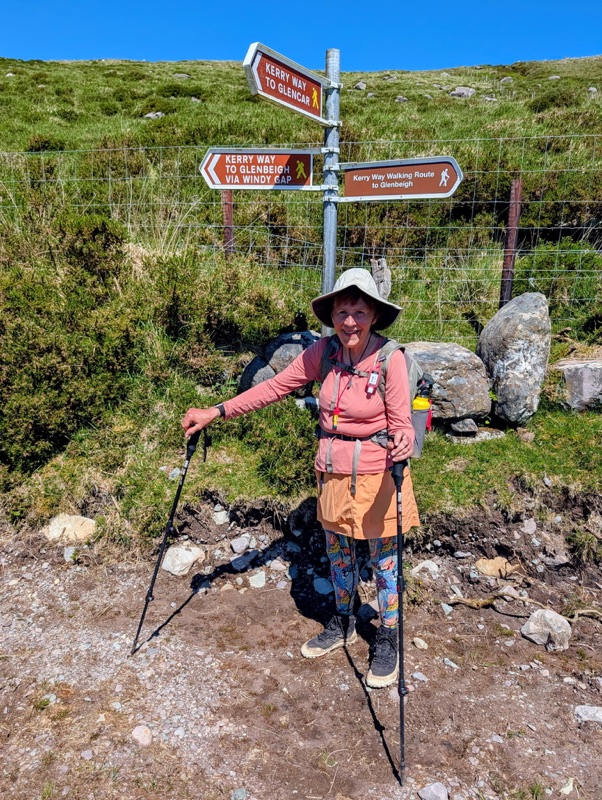
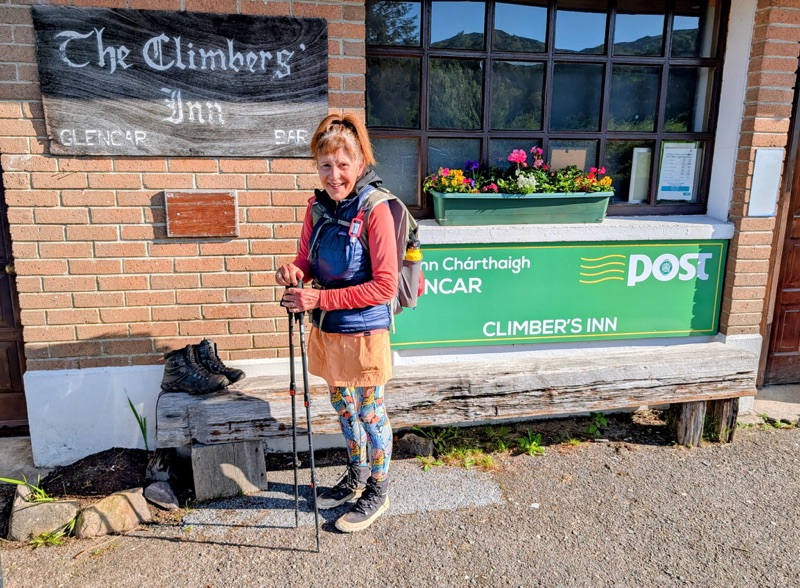
Day 2 – Black Valley to Glencar – 15.5 miles
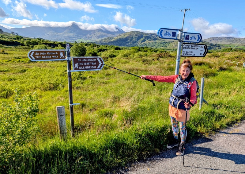
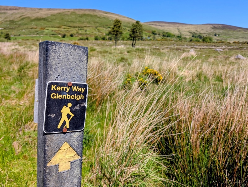
Day 3 – Glencar to Glenbeigh – 10 miles
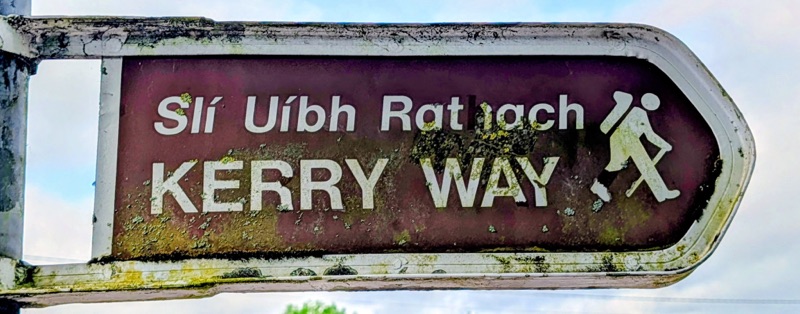
Without a doubt, Ireland’s Iveragh Peninsula is a beautiful place.
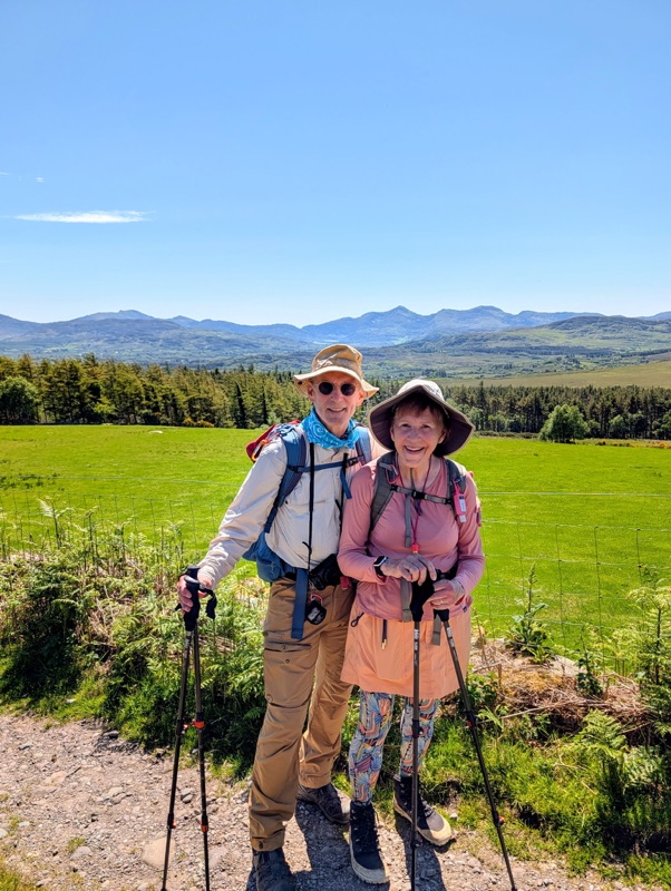
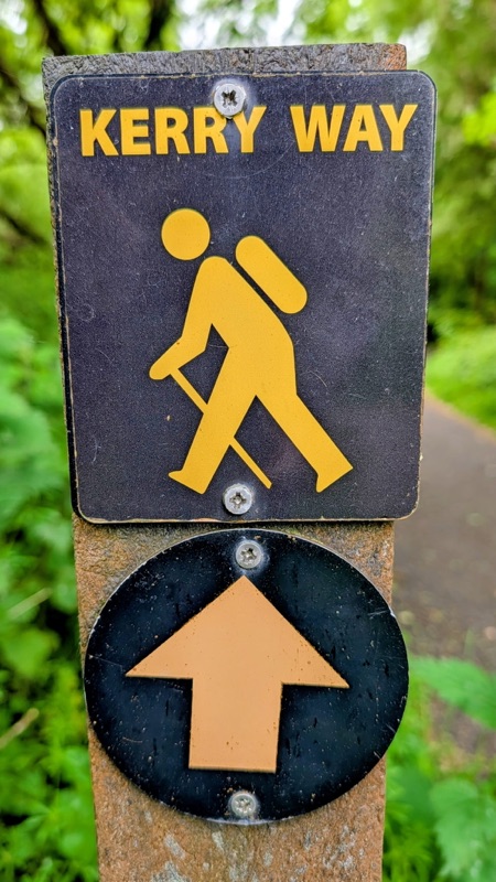
The last time I was here was in July 1985 when my husband & I rented a tiny little Fiat Punto car & drove around Ireland including the Ring of Kerry with my parents. This time we are using our own two feet taking the slower route hiking the Kerry Way.
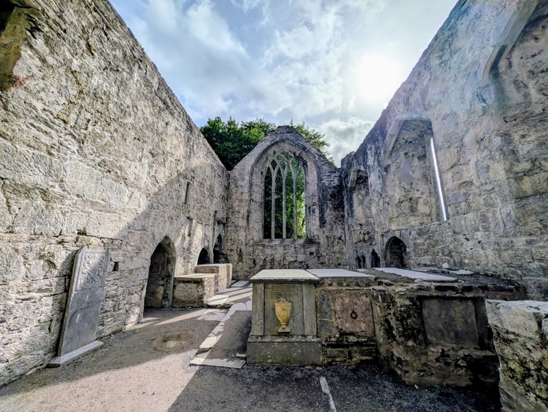
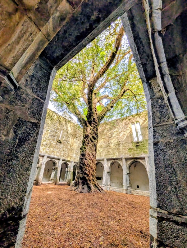
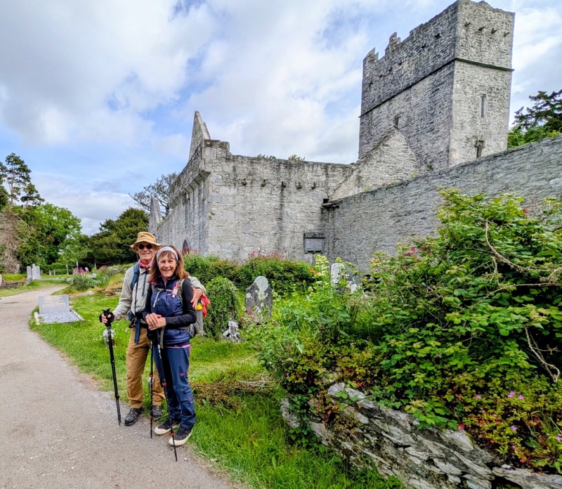
The first day took us past the Muckross Abbey which was closed in 1541 by Henry VIII’s decree, then was destroyed in 1562 during the English Civil War by a unit from Oliver Cromwell’s New Model Army who deliberately removed the roof after which time the abbey was abandoned. Nearby we saw the lovely old Muckross House mansion which is open to tourists.
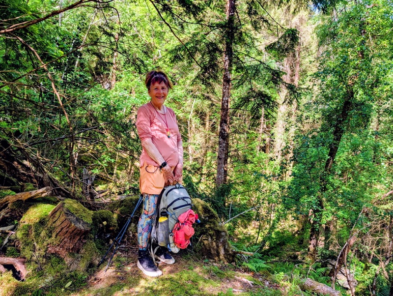
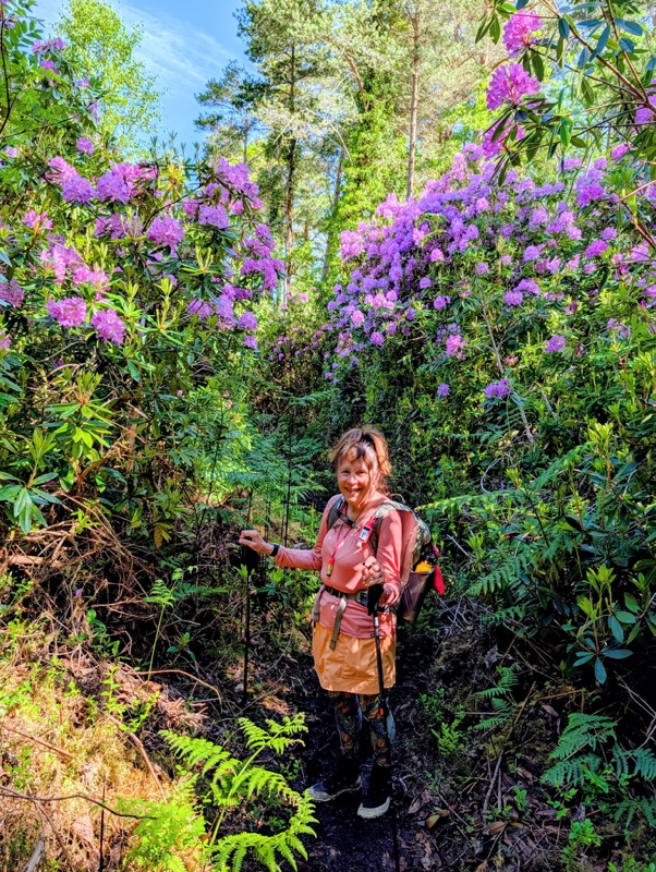
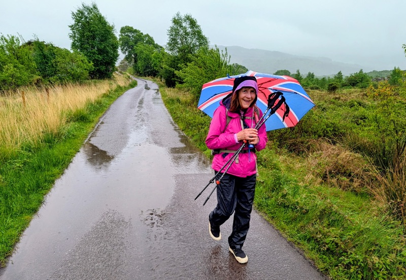
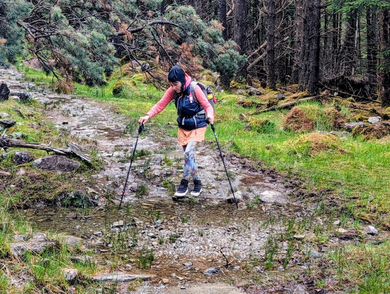
From Muckross, we passed the Torc Waterfall which is another popular tourist spot. From there, we left behind all the tourists & made our way for most of the day through forests before walking through very soggy bog fields with some small waterfalls. The sky had been threatening rain all day which finally started falling steadily late in the afternoon before we reached our destination which was a very small farmhouse B & B located in Black Valley which got its name from its murky bogs covered in dark heather.
We arrived just in time for dinner at 6:00 PM. This small place reminded me a lot of the tiny B & B homes in which we stayed in 1985. Back then, my parents were very amused about how you would drive looking for a B & B sign posted by the road, stop, knock on the door, & ask if they had rooms available. Sadly, with the Internet, those days of physically looking for a home B & B to stay in are gone.
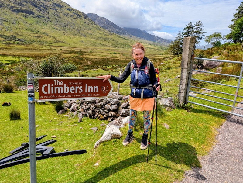
Day 1 Highlights
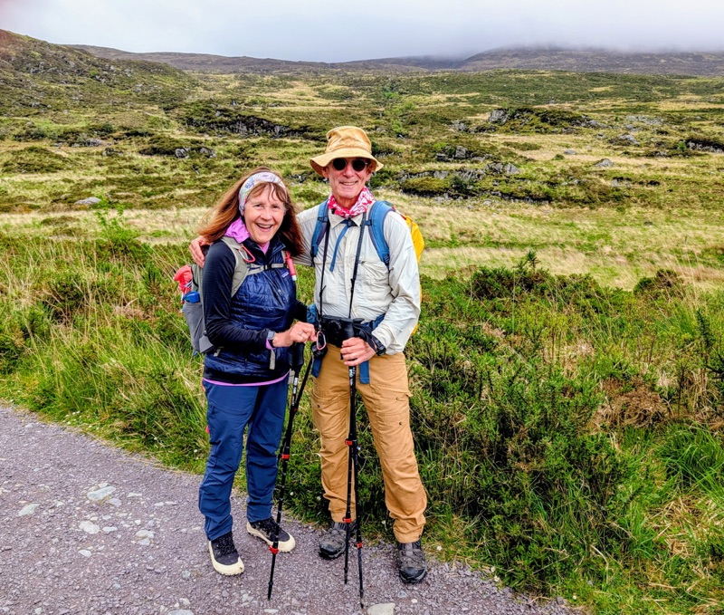
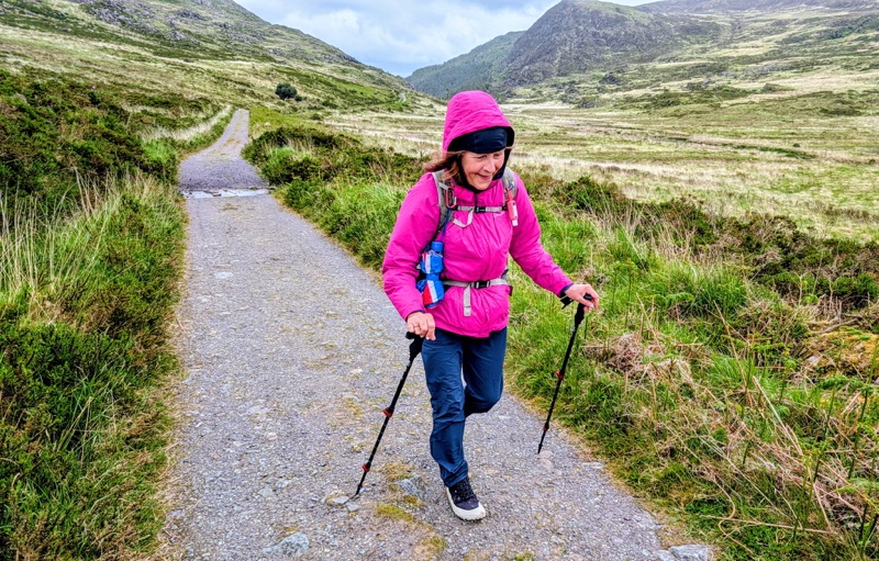
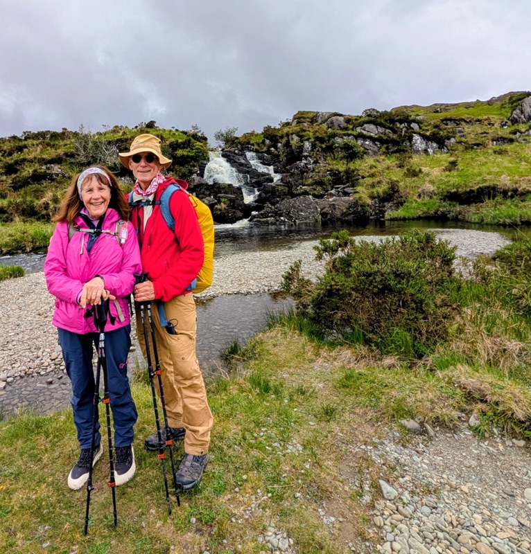

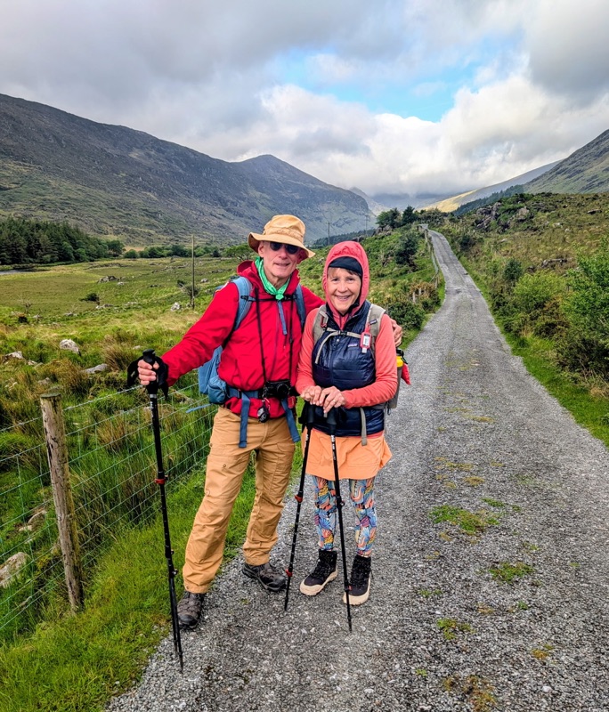
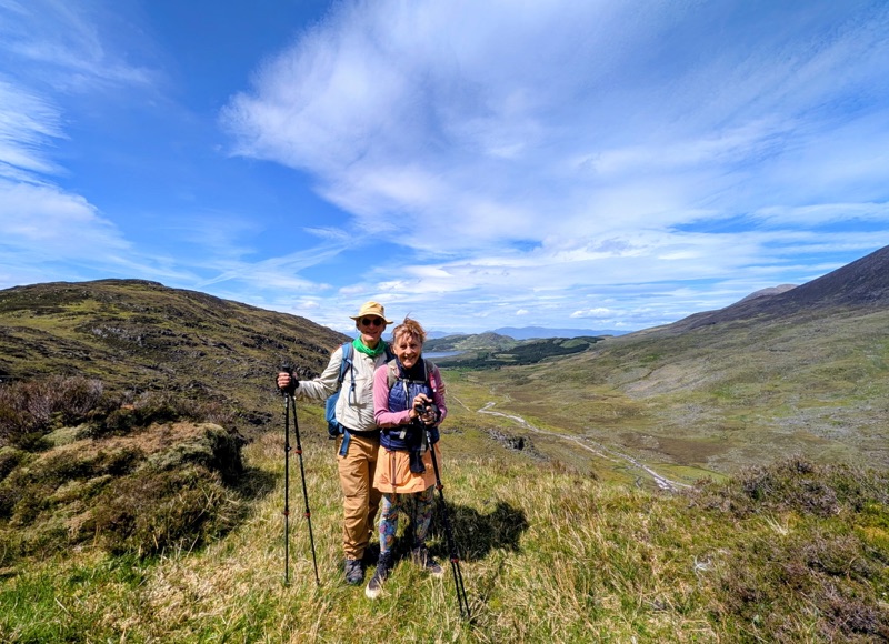
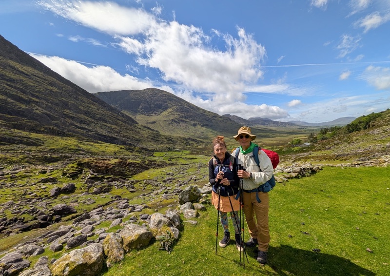
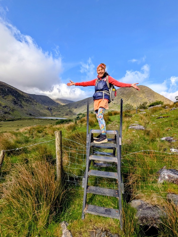
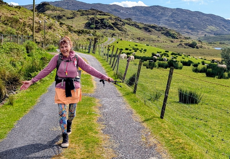
Day 2 was a little shorter; but, the walk took us up, over, & down two mountain passes with very rugged, uneven, rocky paths. Between the mountain passes, we also had to maneuver on the trail through many wet, soggy fields doing our best not to step in deep water or heavy muck. But, the scenery was incredibly beautiful.
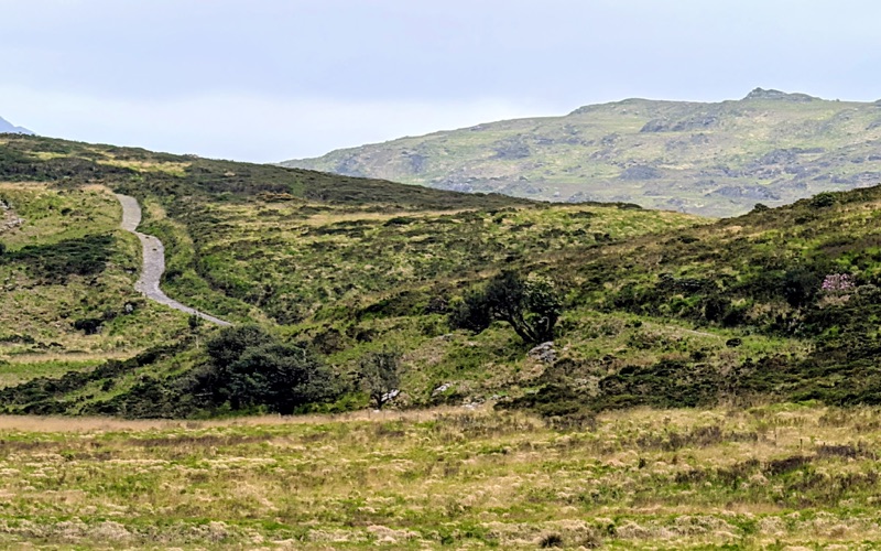
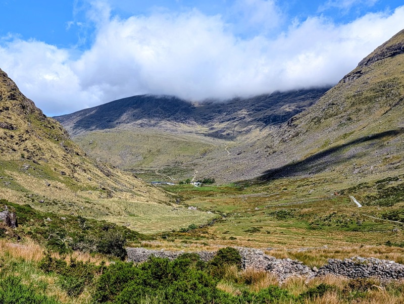
The first mountain pass brought us into the Bridia Valley which is a broad expanse framed by dramatic peaks & open hillsides.
Climbing up from the Bridia Valley took us over the foothills of MacGillycuddy’s Reeks which is Ireland’s highest mountain range.
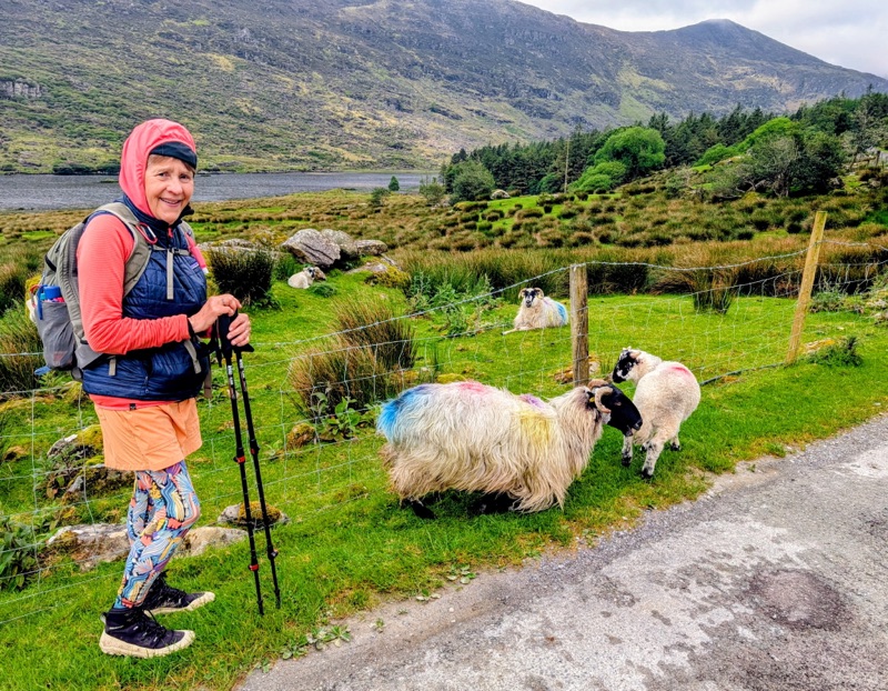
We passed zero people & didn’t even see anyone at the few farms along the trail. The only time we saw a person was almost at the end of the day when a farmer was training his sheep dog to herd his sheep.
A very peaceful day with only the occasional bleating from the innumerable sheep dotting the countryside disturbing the epic silence.
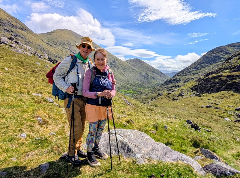
Day 2 Highlights
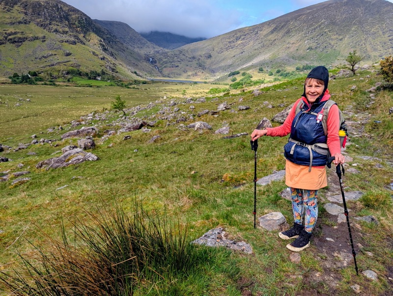
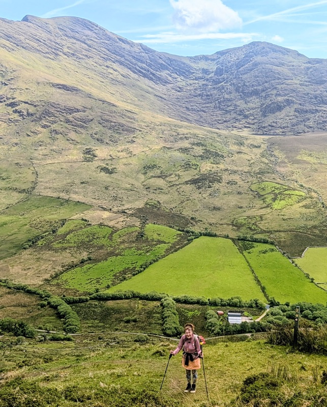
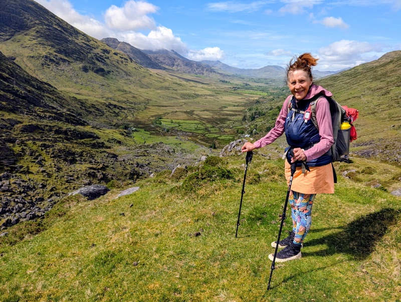
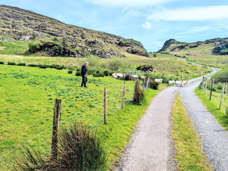
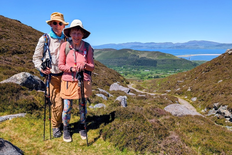
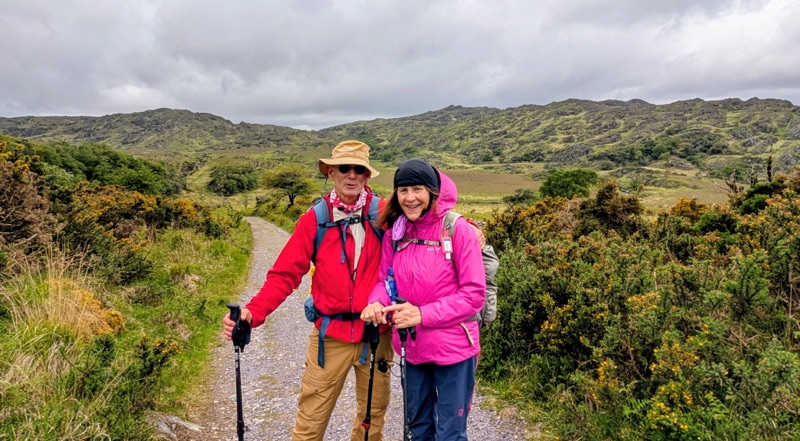
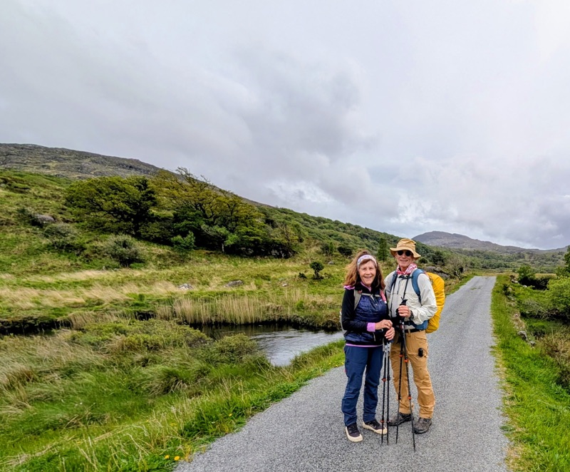
Day 3 started with warm temperatures & big blue skies. The biggest difference from the prior day was we mostly walked on a road & an old well worn trail which was previously used to drive cattle to market.
The last half of the hike was in the wide open spaces with no shade & after noon, I realized my hands were getting sunburned. Who would have guessed we would have such sunny weather! When we came in July 1985, it rained almost the entire time with only short stretches when it didn’t.
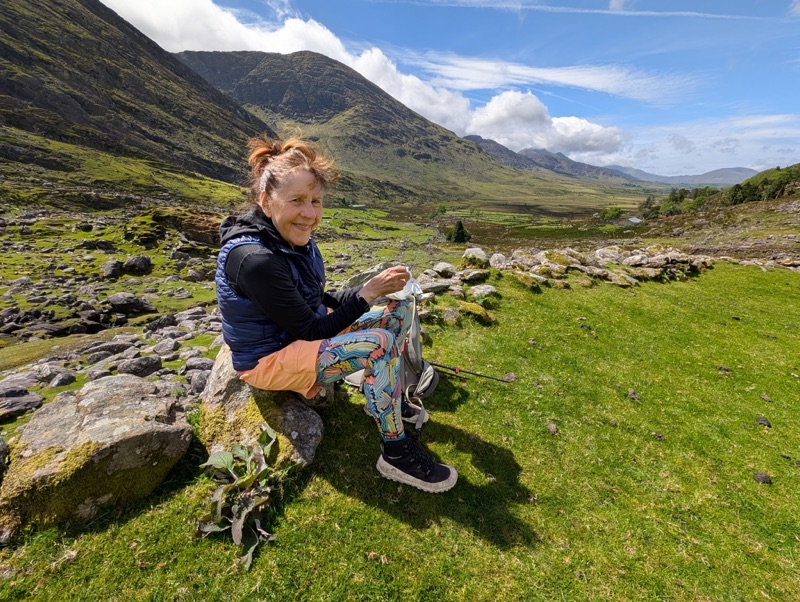
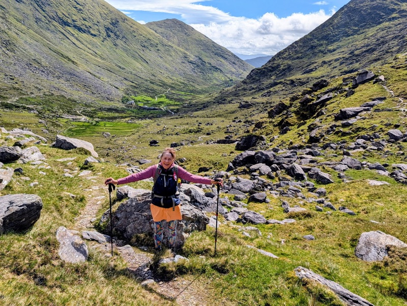
Each time we climb a mountain pass, we hike into a new valley. Today when we crossed around Seegin Mountain, we saw the dark blue, shimmering Atlantic Ocean waters in Dingle Bay for the first time.
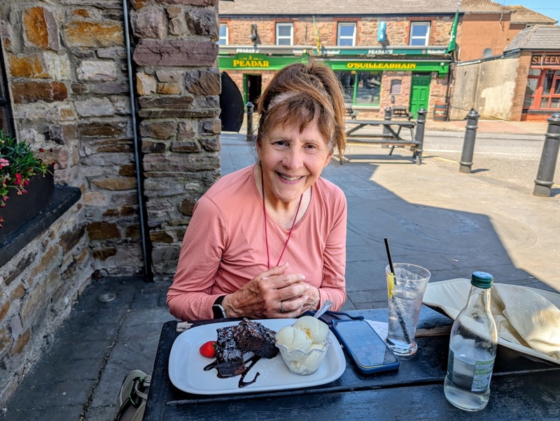
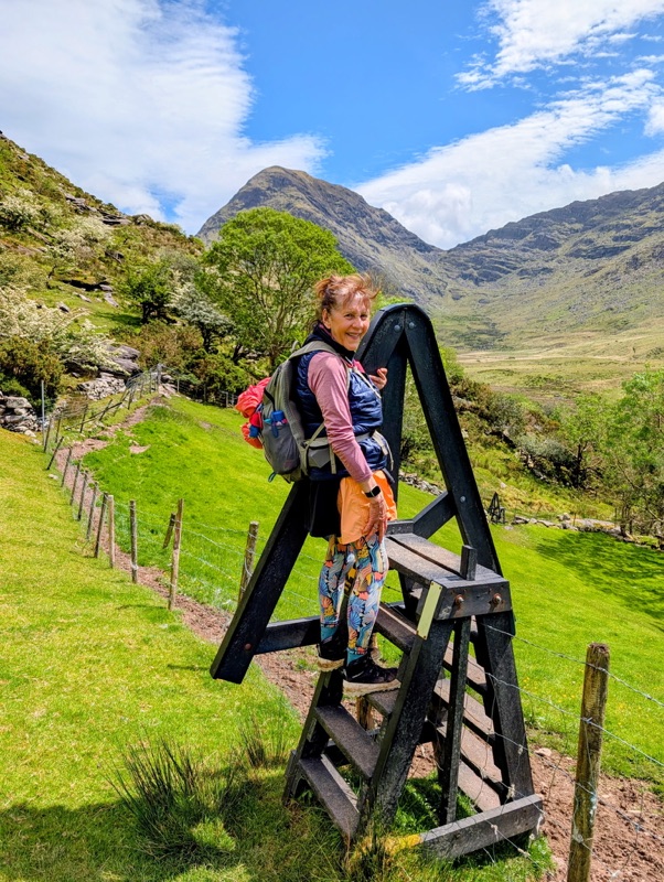
Day 3 Highlights